July 26, 2019
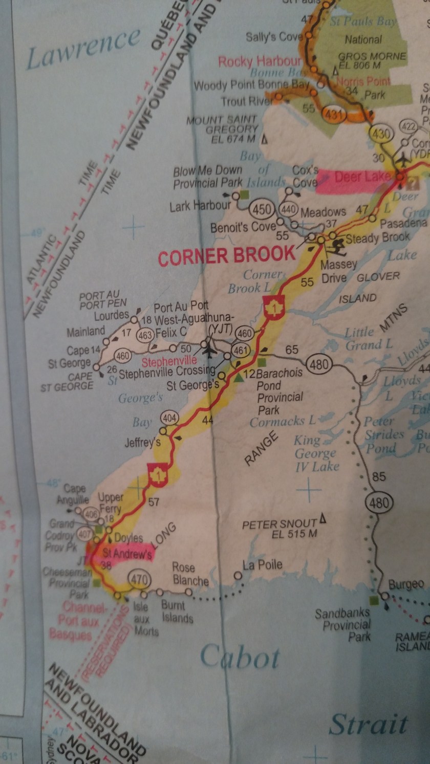
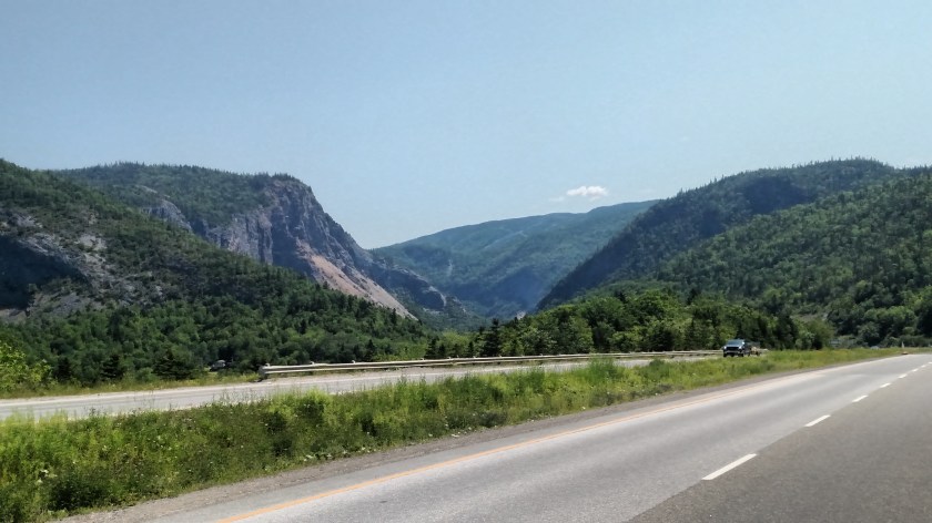
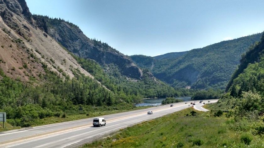
After driving through several small communities near Corner Brook I continued north on the TCH to Deer Lake, where I would be spending the night. After checking in at my Airbnb and dropping off some of my stuff I hopped on Route 430 to drive northwest to Gros Morne (pronounced grow morn) National Park. Today I would only be seeing the southern portion of the Park as I drive west of Route 431 to the town of Trout River.
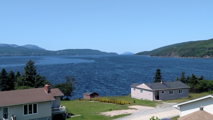
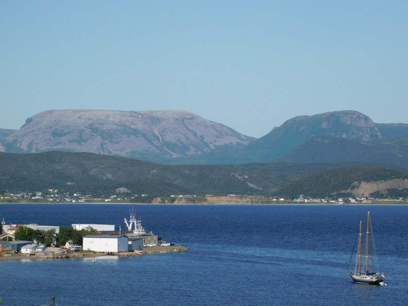
The first large body of water I can to was the South Arm, one of two “arms” which branch off of Bonne Bay.
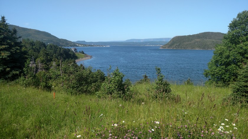


The photo below is from Woody Point. You are now looking out over Bonne Bay.
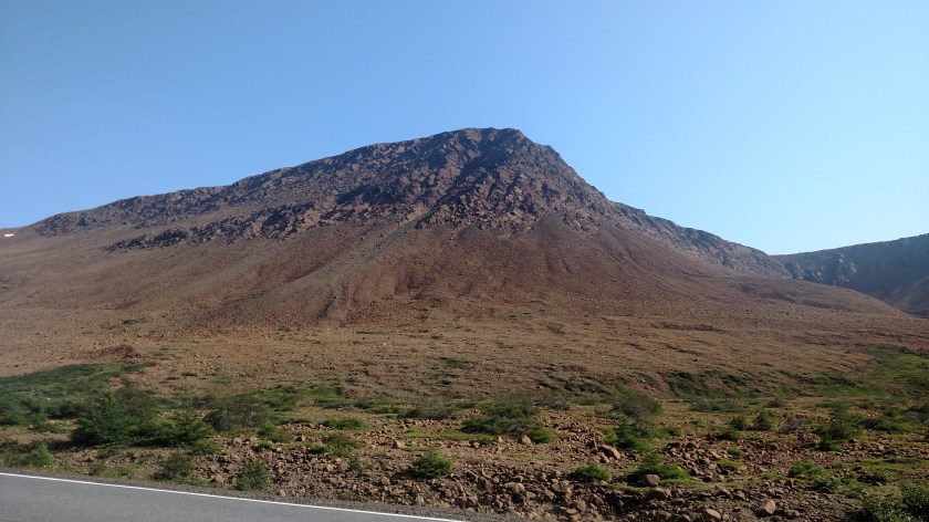
The brown mountains you saw the snow on in an earlier post are called the Tablelands. They are very unusual mountains, devoid of trees or grass. The Tablelands are actually made of peridotite, thought to originate in the Earth’s mantle, and were forced up from the depths during a plate collision several hundred million years ago. Peridotite lacks some of the usual nutrients required to sustain most plant life and has a toxic quality, hence it’s barren appearance. It has a high iron content, thus the brown color when exposed to air. The unexposed rock beneath is actually green!


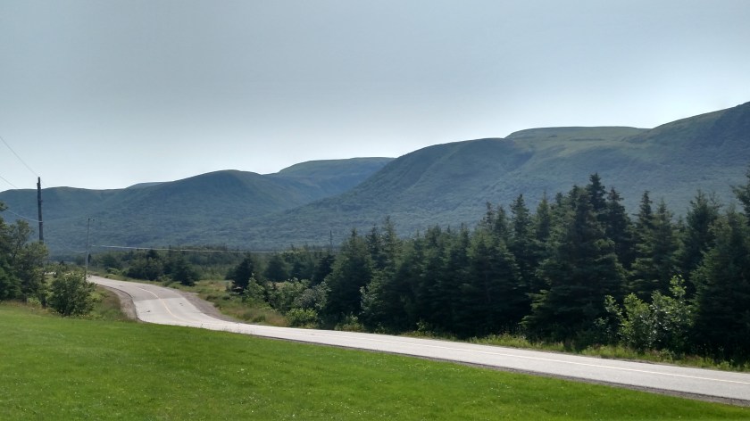
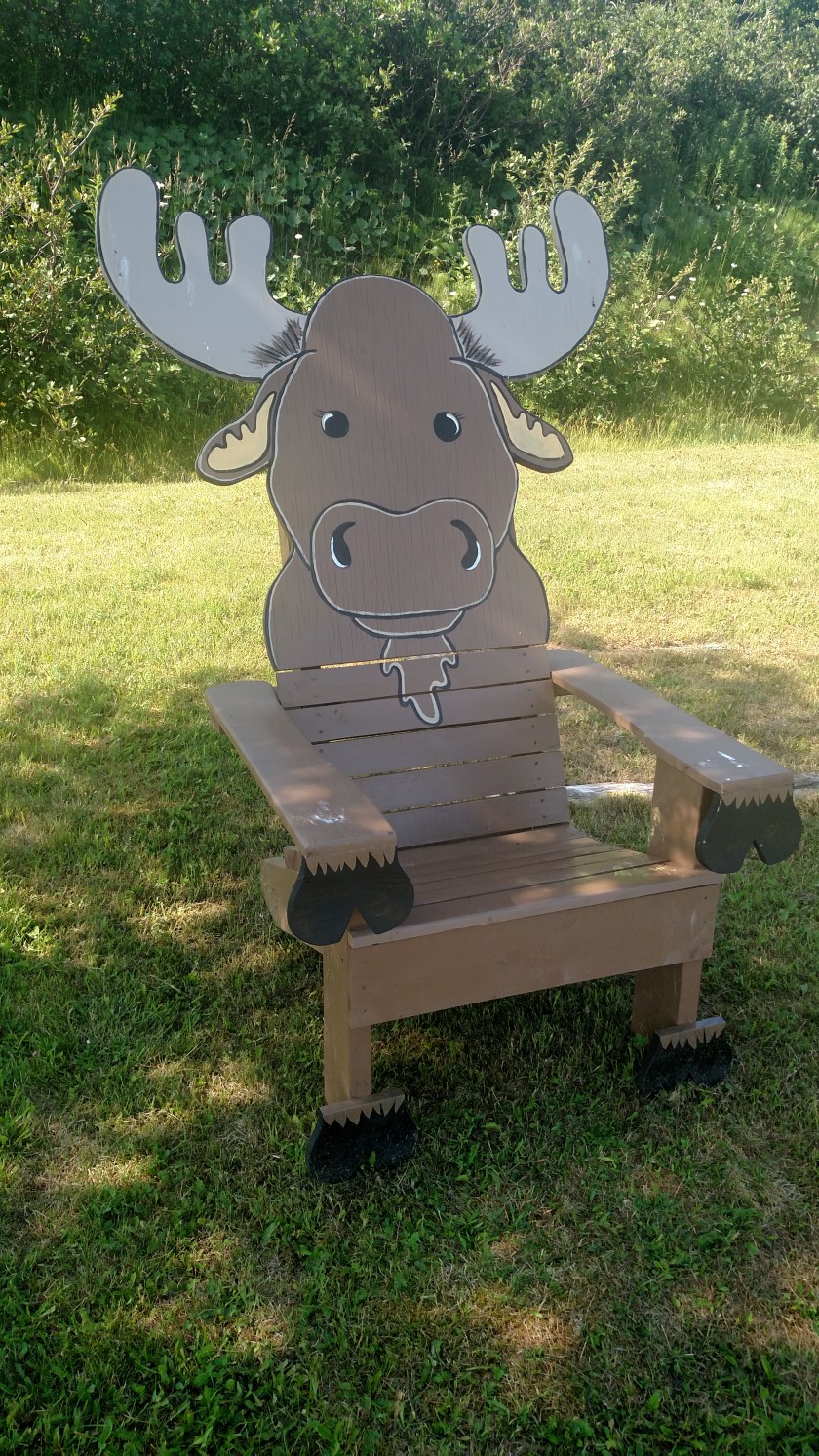
After taking a short sit-down break after passing Tablelands….
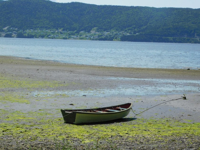
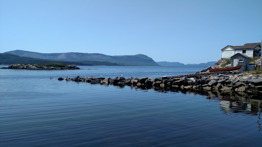
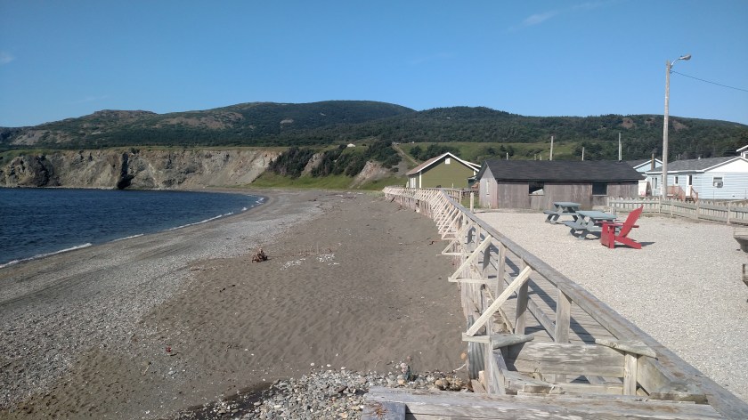
….. I continued on to Trout River:

Then it was back out to the main road and down to Deer Lake for the night.

I’d have a busy day on Saturday as I have an activity planned in Gros Morne and then a long drive up to the tippy-top of the Northern Peninsula of Newfoundland.