July 23, 2019
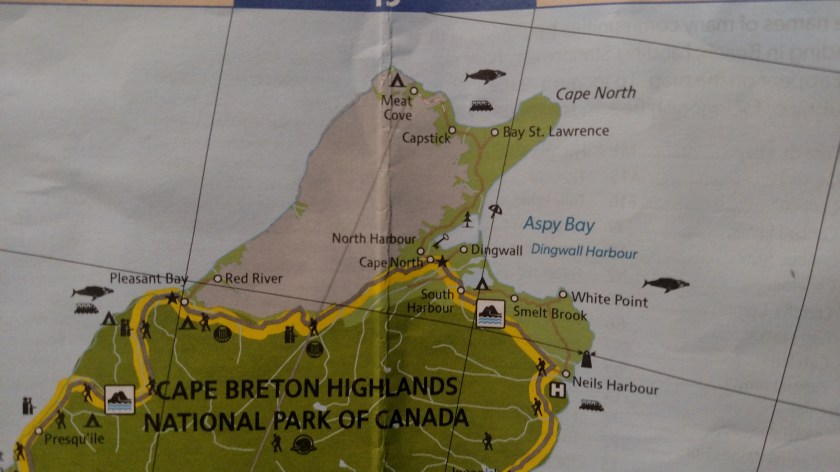
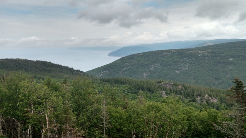
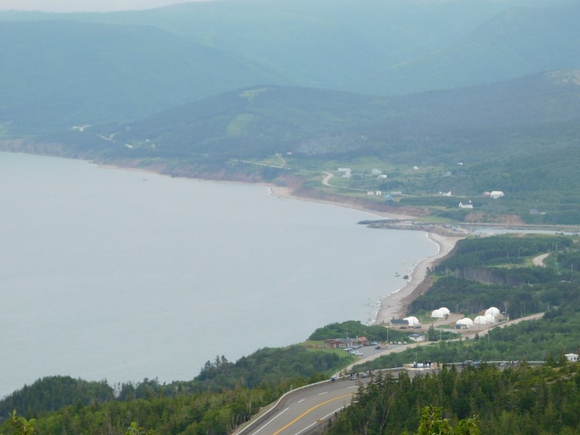
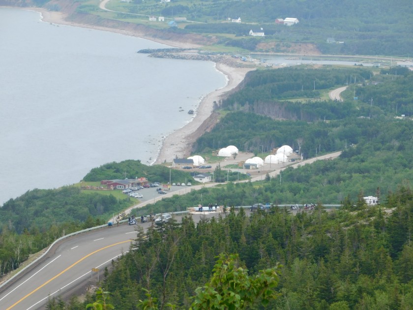
Tuesday I drove around the top of Cape Breton Island counter-clockwise. My departure from where I was staying in North Sydney was delayed twice by rain which was moving through the area. I started out mid-morning hoping to get up to Cape Breton Highlands National Park about the time it looked like the rain might stop. I turned around when I got as far as the bridge near St. Ann’s as the weather over on the other side looked really dismal. I returned home and left again late morning. I still drove through quite a bit of rain but it stopped just about the time I got to the Park entrance.
At the top of the Park I took a side road which would take me up to Meat Cove, the furthest point north one may drive in Nova Scotia.

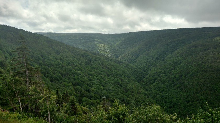
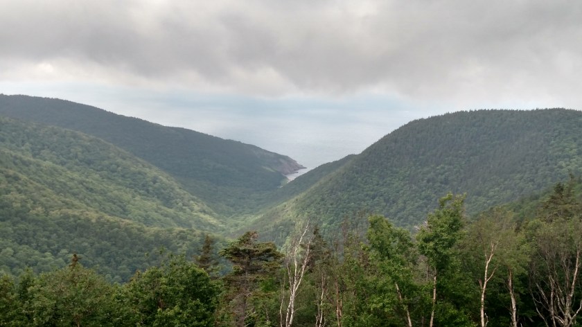
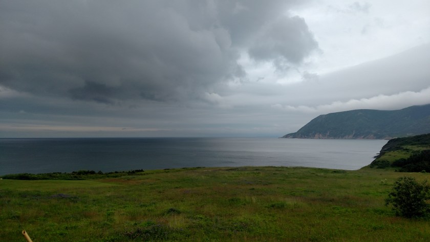
Once I got to Capstick I stopped to take this photo of the storm clouds which were now moving away from the island.
There was a man on a tractor across the road behind me and when I heard him turn it off I turned around and waved. He asked me a question and since I don’t always hear very well I couldn’t understand him. When I determined his first question was “Where are you from?”, I told him. I couldn’t understand his next question either so I walked over to his side of the road. His second question was “Do you watch Fox News?”. I could then guess where our conversation would go and spent the next 10 or 15 minutes having an animated conversation with this very opinionated local about the state of politics in America, not something I had planned to do while I was in Canada. It ended peacefully but I was glad we weren’t in a bar and having our little talk after a few beers.
That’s really not fair – he was quite nice about it but did have strong feelings about how the Fox commentators are all fantastic and how Trump is doing a great job and should easily get re-elected (neither opinion of which I share).
Here I thought this was a quick hit and run photo op (I left my car running) and ended up yapping with this guy for 10 or 15 minutes while my car was sitting there burning up $3.60/gallon gasoline.
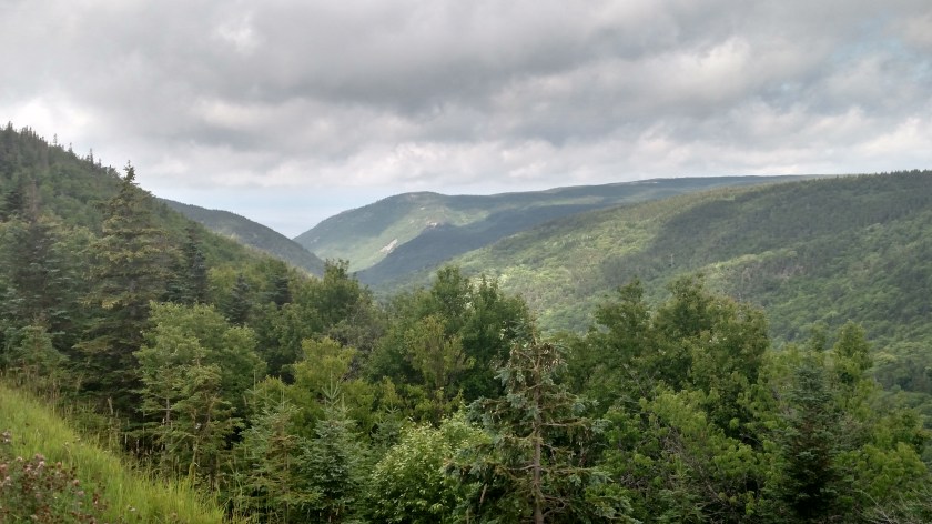
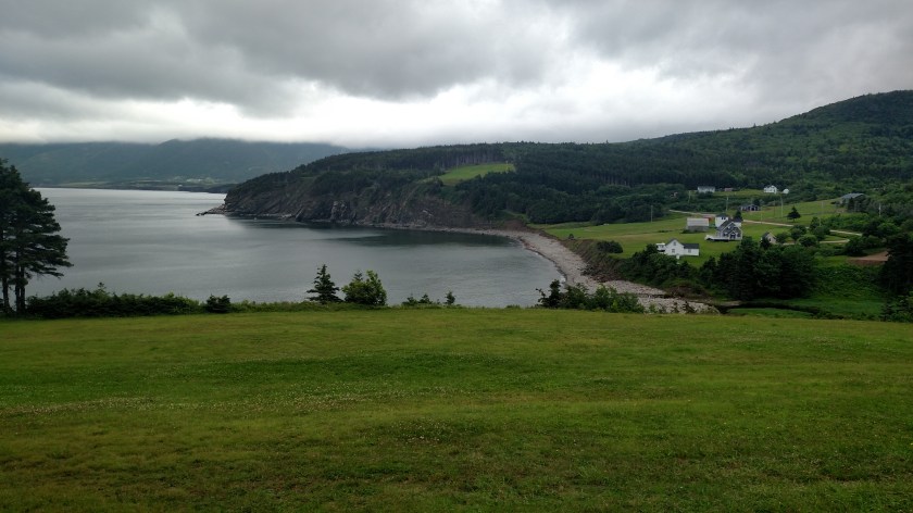
After our talk I took a few more photos and proceeded up the road. This is looking ahead from where I was:

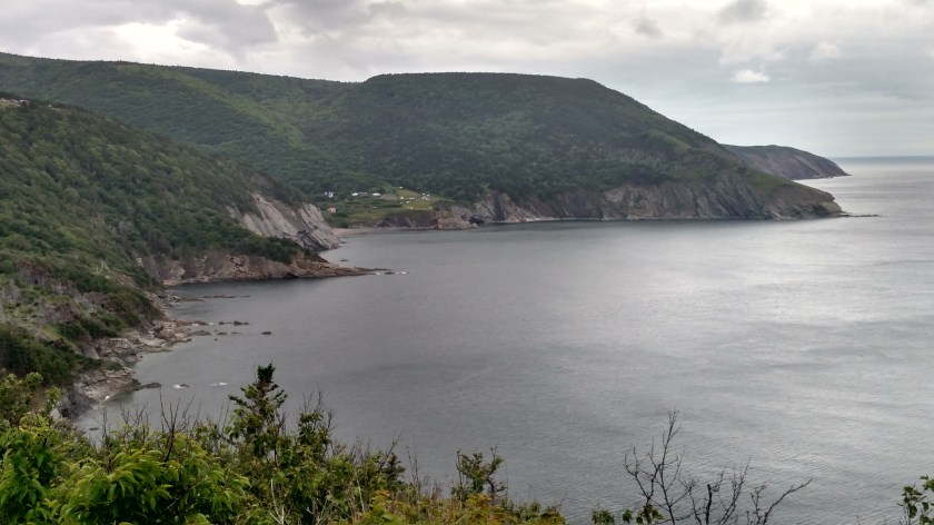
And just around the bend ahead this was looking back:
The road up to this point had been surprisingly good – paved and in good condition. But for the last five miles it alternated between pavement and gravel – well, dirt which was now mud from the overnight and morning rain. It would be muddy for maybe 3/4 of a mile then there would be a short paved patch. That pattern repeated until I got to Meat Cove. Why on earth they didn’t just pave the whole thing rather than just small sections I’ll never know. The muddy parts had lots of ruts and potholes (though not as bad as the road in California I reported about last year) and I had to weave back and forth to try and find the best spots.
I finally got within sight of little Meat Cove, a tiny fishing village and popular place for campers and hikers. I have no idea how it got it’s name.

Land and forest continue north up to the Cape St. Lawrence lighthouse at the tip of the Cape.
This was part of the road I drove in on. No potholes on this particular stretch but believe me, that was the exception not the rule.