Digby to Lunenburg, Nova Scotia

July 17, 2019

IMG_20190718_170340025

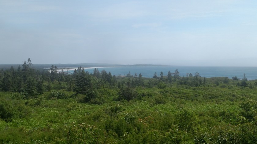
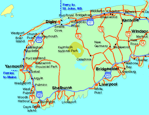
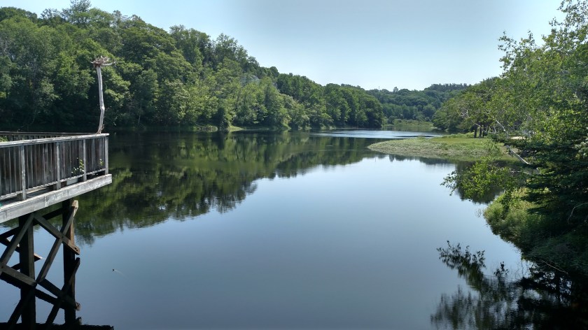
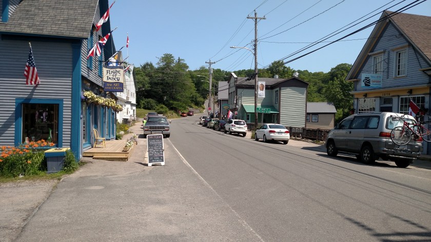
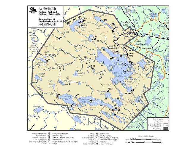
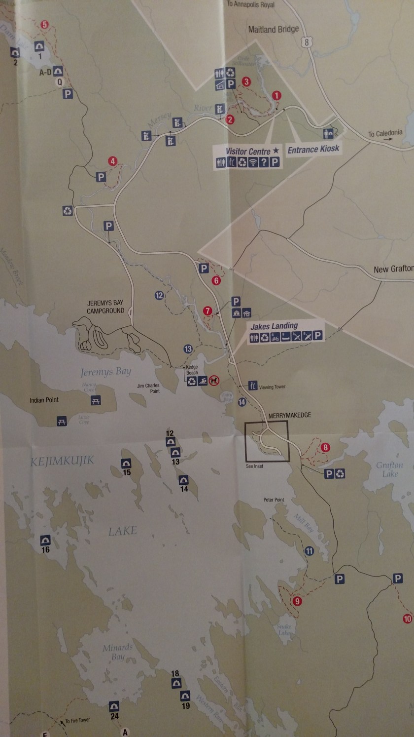
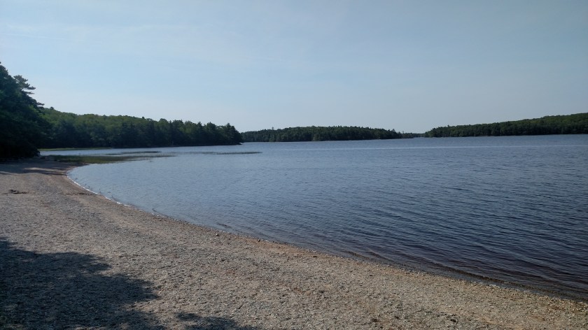
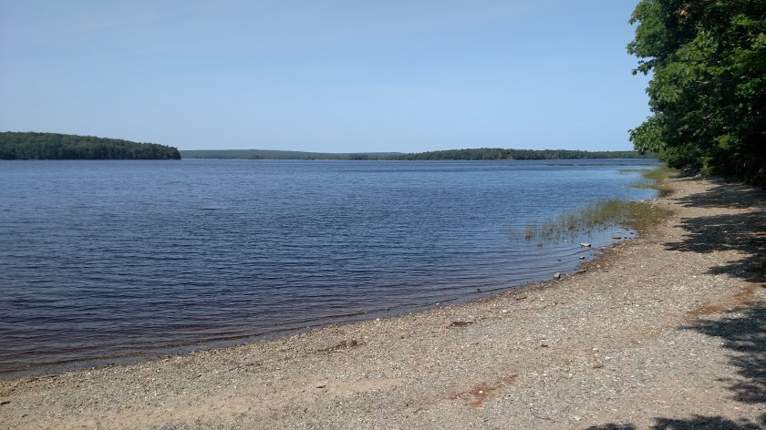
Wednesday I drove from the Bay of Fundy side of Nova Scotia down to the Atlantic Ocean side. I went southeast on Route 8, past Kejimkujik National Park (stopping again at the big lake briefly to study my notes in solitude) to the town of Liverpool. From there I drove west to Keji’s Seaside location (see separate post), then went back northeast and took one of my trusty scenic routes from Liverpool back and forth out along the water, ending the day in beautiful little Lunenburg.

I had intended to drive out around the extreme southwest end of Nova Scotia on a series of coastal scenic roads (indicated on their map, not mine) but my Airbnb hostess talked me out of it. She said there really wasn’t much to see and that many of the coastal areas around Yarmouth are private property and people don’t want visitors stomping around taking pictures. She also said it would take an inordinate amount of time and in hindsight I think she was right. The only big thing I know I missed by taking the Route 8 shortcut over to Liverpool was seeing this unusually shaped lighthouse at Cape Fouchu, near Yarmouth:

CapeForchupic

(Photo credit: novascotia.cioc.ca)

Several times today I saw little village signs as I drove which were different from ordinary signs I generally see. Here are two of the more interesting ones:

IMG_20190717_084025792_HDR

IMG_20190717_123702282_HDR

When I arrived in Liverpool I enjoyed my first dose of “timbits” during this trip. For those of you who don’t know what I’m talking about – in the United States we have Dunkin’ (Donuts), a chain of shops which have doughnuts, coffee and other breakfast fare. Well in Canada, and lucky portions of the upper Midwest and northeast US, there is a Canadian chain called Tim Hortons. Dunkin has “Munchkins,” tiny round doughnut-holes you can pop in your mouth and eat in one bite. Tim Hortons has “timbits”. If I do say so myself, I have shown incredible discipline in not going to Tim Hortons every day I have been in Canada but today I was weak and stopped in for a box of 20 assorted timbits. They were fresh and yummy!

My current Airbnb host just told me that Krispy Kreme, which we swear by in North Carolina, tried to make a go of it in New Glasgow but couldn’t compete with Tim Hortons.  I also meant to mention that as I was leaving Tim Hortons the other day with my “tidbits” bounty I noticed a sign in the inside of the exit door saying “See you tomorrow”.  Ah, the power of suggestion…

Moving on – just before driving through West Berlin I saw this this amazing tree in someone’s yard. I turned around and went back to take this photo (which doesn’t accurately reflect how stunning it was, especially in bright sunlight against a green background looking at it from the road in the other direction). I donned my Safety Sam best for the first time this trip and proceeded to take pictures.

IMG_20190717_122054225_HDR

The gentleman who lives in the house came out when he heard my car door shut and asked if I was having difficulty. I said no, I was just taking pictures of his tree. I asked if he knew what kind it is and he said it’s a dogwood. That kind of surprises me because we had dogwood trees in Pennsylvania and I never remember seeing trees that were this prolific with flowers. He said the mayor of his town encouraged people to plant them many years ago, and even provided the plants. Here is a closeup of the blooms:

IMG_20190717_125013843

It is from a different, but equally beautiful tree (I did see a lot more further up the road). Thinking back to when I was growing up in PA I think the dogwoods there were white, not pink.

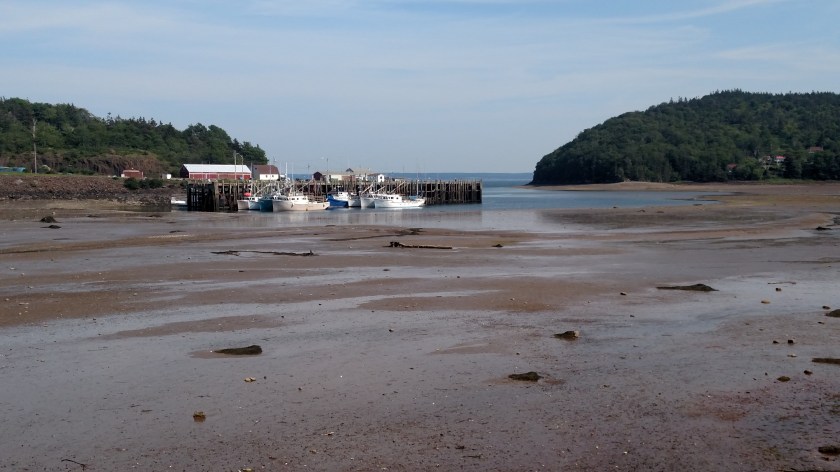
Further up the road my little scenic road took me to Port Medway and I followed the signs out to see their lighthouse.

IMG_20190717_134612379_HDR

IMG_20190717_134706911_HDR

I spent a long time speaking with one of the co-owners. He and a group of friends bought the lighthouse several years ago and it was moved to this location. They are renovating it and it looks great. They’ve already spent more than $ 30,000 in removing and replacing 2 of the exterior walls which had fallen into serious disrepair. There were two artists set up on the property painting.

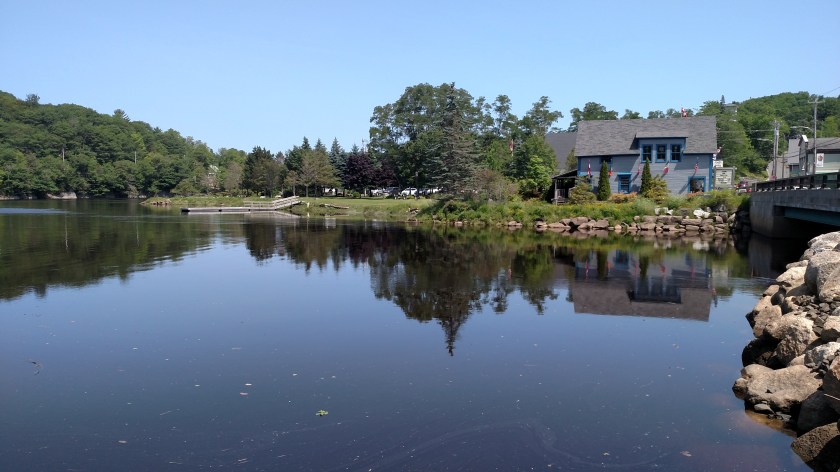
I ultimately made it up to Lunenburg where I would be spending the night before continuing on to Halifax. I arrived at my Airbnb earlier than usual (in light rain which had just moved in) because I wanted to try and get caught up posting the blog after delays in Granville Ferry. While I was working the house cat snuck in my room and took a nap on my bed, behind me as I was sitting at a table working.

IMG_20190717_185322931

I looked again about an hour and a half later and she was still racked out.

IMG_20190717_203233231

Kejimkujik Oceanside

July 17, 2019

Wednesday I left Granville Ferry and headed southeast past Kejimkujik National Park (stopping there for a while to study my scenic road book for the day’s activities).  Continuing southeast on Route 8 I reached the town of Liverpool, along the Atlantic coast, about an hour later.  I then drove southwest on 2-lane, controlled access NS-103 and exited near the town of Port Joli.  A short drive out to the water and I arrived at Keji’s coastal location.

To complement the main Park which is way inland, a location next to the ocean to help reflect Nova Scotia’s 4,600 miles of coastline was established.  An adjunct was recently added adjacent to the original seaside Park to help protect two estuaries.

There are two walking trails from the parking area out to the ocean (and this is a good opportunity to mention that since leaving Maine earlier this trip, photos of large, non-lake bodies of water were the Bay of Fundy, or it’s sudsidiaries.  From this point forward, at least until I reach Quebec province, they will now be the Atlantic Ocean).  I opted for the shorter walk (still a hike) out to Harbour Rocks.  A lengthier route which went out and around Port Joli Head was longer than I wanted to walk, and was rated as “Difficult”.

This was a view as I drove in towards the parking lot.

IMG_20190717_095637038_HDR

When I got to the unattended entry kiosk there were several warning signs, among them:

IMG_20190717_100733819

I was there on July 17.  About halfway out to the water a family overtook me on the walking path (I had stopped to photograph some flowers).  A boy about 12 years old asked me what his chances were of encountering a bear.  I told him it was possible but probably unlikely.  I also relayed the tips I read at the entrance:  Make yourself big (waving your arms and making noise), always look the bear in the eyes (backing away if you need to), and NEVER turn and run.  I didn’t tell him that if he did run he shouldn’t run any faster than me!

Someone later told me (and I subsequently read online) that this oceanside location was recently closed for a period of time due to increased bear activity.

I finally made it to within sight of the water – trust me, it’s out there:

IMG_20190717_104428707_HDR

There was just a hint of coastal fog that literally burned off within a few minutes of my taking that photo.  It had been generally overcast but now the sun was shining brightly.

IMG_20190717_104959659_HDR

There was a small beach area open to the public:

IMG_20190717_105011550_HDR

IMG_20190717_105006405_HDR

You can just make out the kid that asked me about the bear to the left of the bigger pine tree, up on a large rock.

Further north there appeared to be a much larger beach area but signs indicated it was off limits to visitors.  Protected Piping Plovers (say that 3 times fast…) are nesting, and I think sea turtles are too.

IMG_20190717_110802187

Because of on-site research, visitors are not allowed off the trails unescorted so there wasn’t anything else here to see or do and I headed back to my car.

Bear River & Digby Neck

July 16, 2019

DigbyMap

(Photo credit: shinealightblog.wordpress.com)

Tuesday morning I set out from Granville Ferry (east of Digby and north of Annapolis Royal on the map above) to drive to Kejimkujik National Park, about a half hour south.  This was the view looking east near the bridge I had to drive over to get to Annapolis Ferry:

DSCN7822

This is an osprey, guarding her nest on a utility pole right next to the parking lot where I took that photo.  I had heard her up there squawking the night before when I had stopped to view the river.

DSCN7818

Once I was done at the Park (see separate post below), and at the suggestion of my Airbnb hostess, I took a series of small roads to the little town of Bear River (not shown on the map but located diagonally between the 8 above the Park, denoting the highway number, and the town of Smiths Cove, just south of Digby).

IMG_20190716_120918379

IMG_20190716_120951282_HDR

IMG_20190716_121127742

The buildings on the right in the photo above are all built on stilts, as seen from this view from the other side of the river:

IMG_20190716_122323419

Bear River is hosting their annual Cherry Carnival this weekend.  In addition to pie eating and pit spitting contests the highlight of the carnival is the Greased Log competition, where a telephone pole is liberally coated with grease, placed in the river and contestants are given a prize if they can successfully walk all the way across it.  Evidently it is quite a hoot.  My Airbnb hostess very enthusiastically told me about it, as did a gentleman who I met while taking these photos who has lived here all his life.

After seeing Bear River I drove up through Digby and out onto Digby Neck, a long, thin peninsula which juts out into the Bay of Fundy, parallel to the mainland.  I stopped at Lake Midway Provincial Park where I saw this guy kayaking back to where his wife and daughters were picnicking nearby:

IMG_20190716_134900823

Next stop was Sandy Cove on the inland side of the peninsula.  This photo was taken at 205 pm, on my way west:

IMG_20190716_140518318

And this is the same scene at 455 pm as I was returning to Digby.  You can see how much the receding tide had dropped in the meantime:

IMG_20190716_165534434

Next stop as I drove west was the ferry which would take me across the “Petite Passage” over to Long Island.

IMG_20190716_145457387_HDR

IMG_20190716_143726820

I drove all the way across Long Island to the town of Freeport.  I could have taken another ferry across the “Grand Passage” to Brier Island but decided not to.  One thing I missed by not going was a chance to see this lighthouse in person:

Brier_Island_Lighthouse_(1)

(Photo credit: en.wikipedia.org)

I drove back east on Long Island and stopped to see Balancing Rock.  This involved a long walk out a dirt path and wooden walkway to a long set of stairs (235 of them) which would take me down to the water’s edge.

IMG_20190716_152421201

Here is the reward:

IMG_20190716_152617631

What you are seeing is a columnar basalt sea stack, about 30 feet tall, which is perched precariously on the rock below.

IMG_20190716_152624926

IMG_20190716_153123496_HDR

The signage on-site teases the viewer about the weight of the column but I can’t find the exact number online.  Legend has it that a fisherman once tied a rope to it and tried to topple it without success.  According to the sign a cubic meter weighs 3 tonnes (slightly more in US tons).  Evidently the column weighs several tons.

Feeling exhilarated, the climb back up those 235 stairs wasn’t as bad as I was expecting.

Kejimkujik National Park

July 16, 2019

Don’t be intimidated by all those k’s and j’s.  Just stick an ‘a’ right in the middle of it and it is pronounced pretty much just how it looks.  keji-ma-COO-jik.  I will explain the origin of the name later in this post.

“Keji,” as it is called by the locals, is about a half hour southeast from where I was staying in Granville Ferry.  It is an inland, heavily wooded park with a huge lake on the eastern side of it, featuring many islands of all sizes.  There are also lots of smaller lakes in the Park.

Keji map

(Photo credit: pc.gc.ca)

Here is a photo of the map I was given at the Visitor Center:IMG_20190718_202448914

The map doesn’t show the entire lake or park, only the main road which goes down the eastern side of the lake.  I drove to the last parking area inside the “box” in the photo.  There were only two vehicles in the parking area when I arrived and there wasn’t a soul in sight.

IMG_20190716_101701889

IMG_20190716_101706436

IMG_20190716_101714308

From pre-trip research I knew there wouldn’t be much for me to do here but I sat for a long time just enjoying the solitude.  There are lots of hiking trails and camping areas.  But they say the best way to see Keji is from the water.  This is paradise for canoers and kayakers.  It is also a great place for stargazing as it is in the remote southwest end of Nova Scotia and is well protected from light pollution.

Later in the morning some other folks arrived – a young family with two kids who frolicked in the water, another couple with two dogs who thoroughly enjoyed playing fetch in the water at the far end of the beach, reserved specifically for pets, and four ladies who arrived with their canoe who were about to embark out to one of the islands to spend the day.  One of the ladies knew my Airbnb hostess.

IMG_20190716_110920400

IMG_20190716_110323845

The name of the park is derived from the Mi’kmaq phrase for “little fairies”.  Fairies, or gnomes and elves, are featured prominently in petroglyphs found in the Park.  Mi’kmaq (pronounced mick-maw) are the indigenous people who inhabited the area and they lived in all of the Maritime provinces except the Labrador part of Newfoundland and Labrador, which was inhabited by the Inuit people.

The names and numbers in the photo below denote regions where the Mi’kmaq lived. Keji is located near number 7 is the lower left corner.

IMG_20190716_101020486

There are still many proud Mi’kmaq descendants living in the area today.

Here is some interesting artwork from the sign which had the map showing the provinces with Mi’kmaq settlements.

IMG_20190716_101132985

IMG_20190716_101140614