Casper

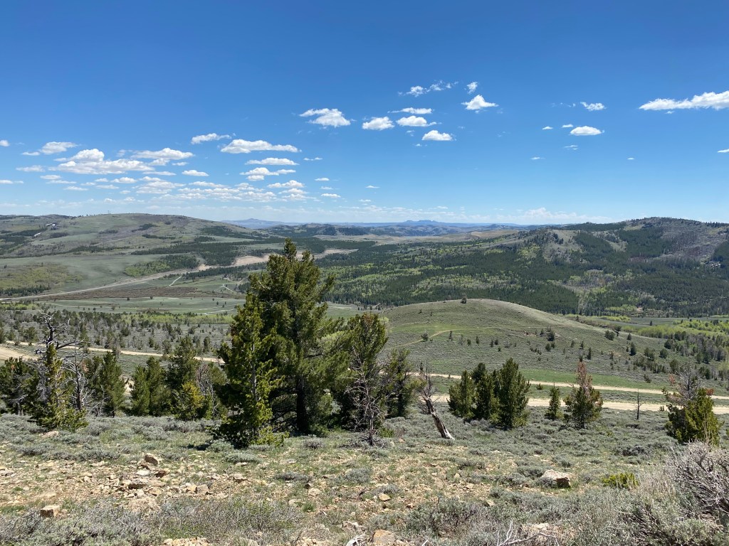
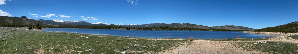
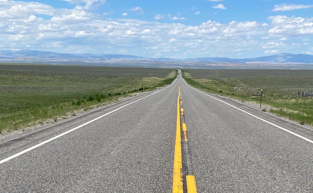
Friday I made the 146 mile, 2 1/2 hour drive east-southeast of Lander to Casper. I drove through Riverton to Shoshoni, as I had done when I went up to Thermopolis, but then continued straight on Highway 20 instead of turning left. There were some interesting rock formations to the left of the road shortly after I got through Shoshoni but other than that it was pretty much wide open road with not a whole lot to see. A pleasant drive nonetheless. For some reason it reminded me of the movie Vanishing Point.

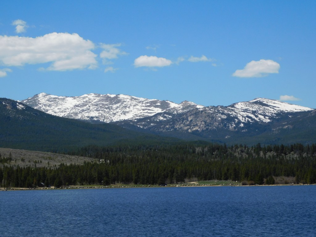
I stopped briefly at a rest area about two thirds of the way between Lander and Casper and learned more there than I did at the Visitor Center/Chamber of Commerce in Casper. They, the rest area, had a great map of the state (not a highway map, which I have several of, but a map highlighting things in various parts of the state). There was also a map of the general Casper area (not a street map) which they, the Visitor Center, didn’t seem to have either. I learned that there are more pronghorn antelope in Wyoming than there are people (just as there are more hogs in my current home state of North Carolina than there are people – and fortunately most of the hogs are east of interstate 95 and not near Durham!). I learned that pronghorn have been clocked at 80 mph and coyotes at 30. But so much for trivia.

When I got to town it was mid-day and it was already over 90 degrees (it ultimately reached 96). The first thing I saw as I was searching for the Visitor Center was a bunch of kids enjoying this fountain downtown:

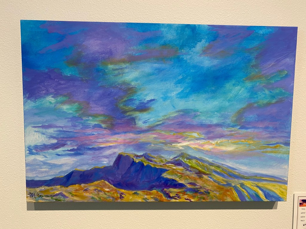
After talking with the folks at the Visitor Center I decided to go to an art museum in order to get out of the heat. I usually save museums for rainy days but this seemed like a good exception. I chose the Nicolaysen Museum of Modern Art and was not disappointed.

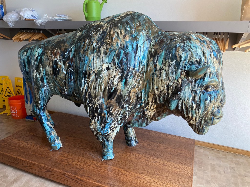
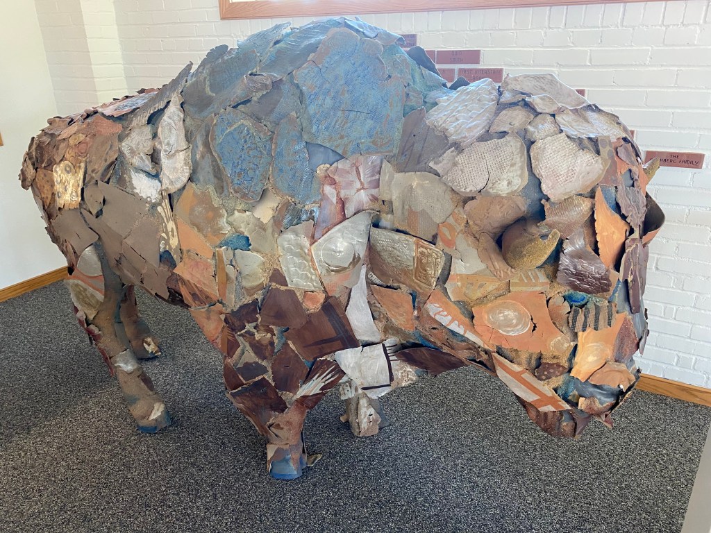
This bison was actually in a storage area! Several years ago many American cities had outdoor art objects with a different theme for each city. Apparently Casper chose bison.

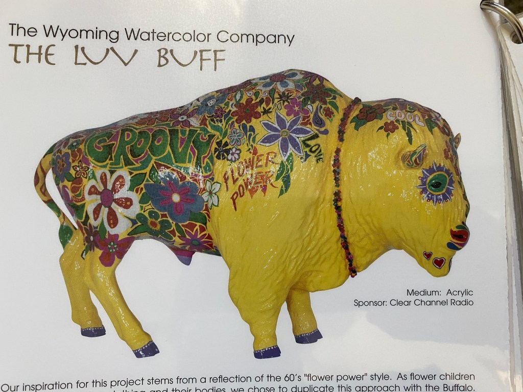
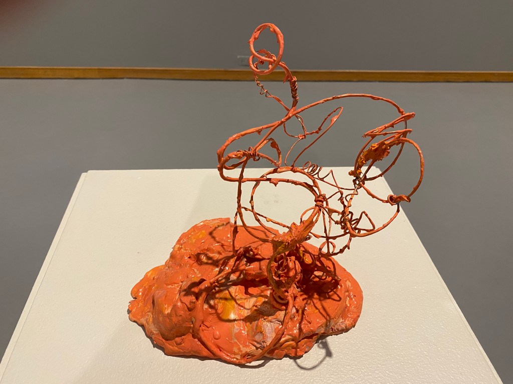
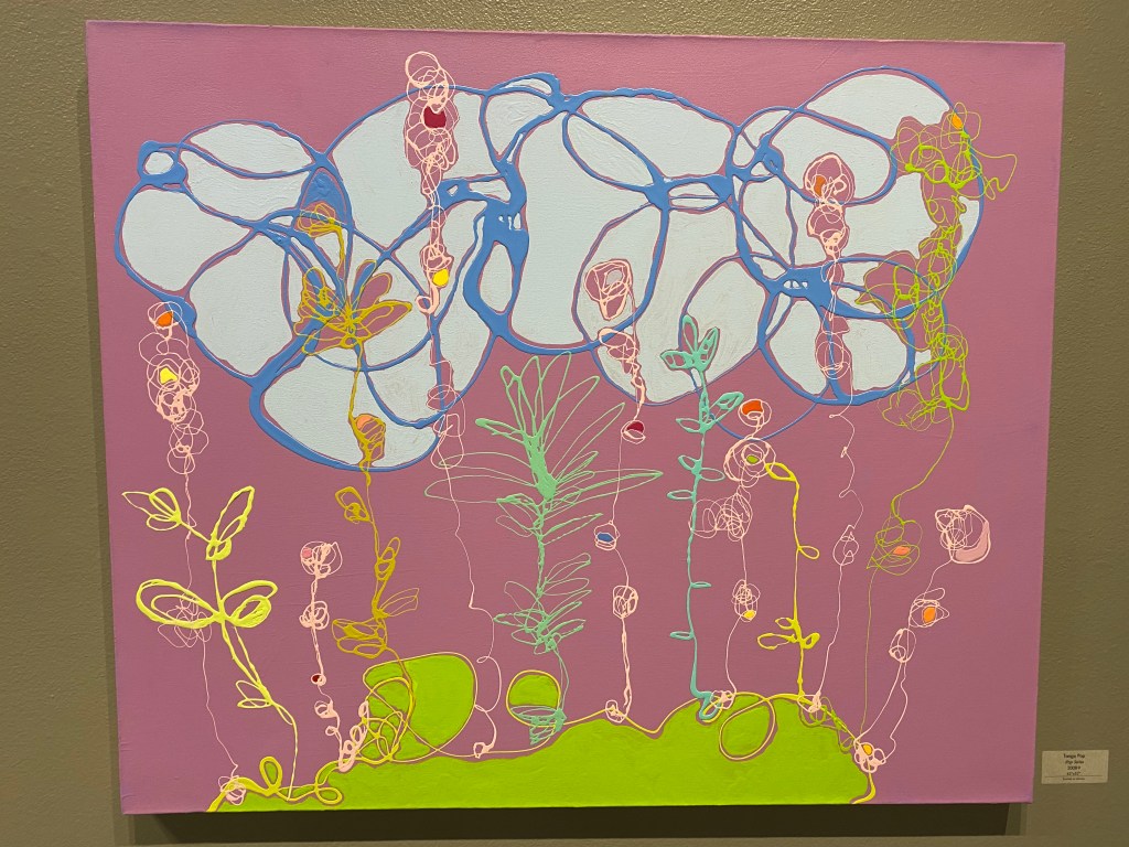
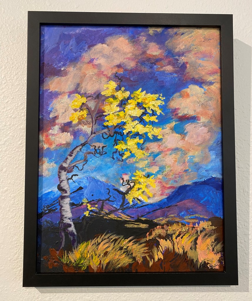
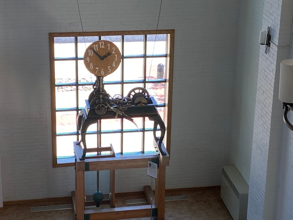
And there were plenty of other things to enjoy:

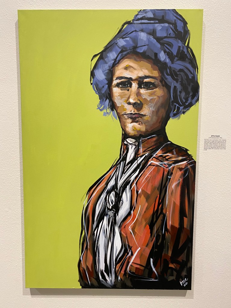
There was also a display of “Women of the West” and these were some of my favorites:

Etta Place (Butch Cassidy and the Sundance Kid):

Annie Oakley:

Sacajawea (who assisted Lewis & Clark, and who is buried at Fort Washakie, not far from Lander):

It was a nice, leisurely afternoon enjoying some great pieces of art. Some people are so talented!

Wild Iris

Thursday afternoon, after my trip up through the switchbacks in Shoshone National Forest, I headed southwest of Lander, on Route 28 past the turnoff for the Wyss Wilderness Medicine Campus but before the turnoff for Atlantic City and turned right on Limestone Road (24 miles from town). This relatively well maintained dirt road would take me up to Wild Iris, an extremely popular rock climbing venue.

After driving a short ways, and when offered the choice, I turned right to climb the mountain to the parking area at the top. There was no cell service here (in lots of places I’ve been to in the last two weeks, actually), but my GPS still worked as did the altitude app on my phone. At last I saw a few vehicles parked along the road so I got out and went to join the mountaineers.

This was the view looking down towards Highway 28 (trust me, it’s down there somewhere):

As you can see, the road ahead was blocked by a pile of snow so I had to walk a short ways up to the actual parking area.

And sure enough, I found the parking area and a sign which confirmed I was in the right place:

There was a walking path off to the left which continued up a moderate grade to the horizon. At this point I was up at about 8,700 feet elevation.

I started walking up the path, keeping my head “on a swivel,” as Sam had instructed me, to keep an eye out for snakes. I also turned around periodically to make sure nothing was sneaking up on me from behind. Despite the vehicles, there wasn’t a soul in sight and I was feeling quite vulnerable.

I finally reached the apparent horizon and learned that there was another path, continuing uphill to another horizon.

Not knowing the area, or if it was much further to reach the “wall,” I opted to bail out and walked back to my car.

I drove down the mountain and turned right to continue taking the dirt road to what I guessed was the area below the “wall,” and followed two vehicles with trailers which I assumed were climbers who wanted to climb up rather than down. Sure enough, they pulled off into a wooded area where there were lots of other vehicles parked but there was no view looking up (blocked by trees) so I continued driving back the dirt road.

I drove a considerable ways before I had any vertical view and by that point I was sure I had passed the “wall”. I drove through two switchbacks and came to a sign indicating that I would then be crossing onto private property and would not be welcome.

Now that I was further away from the slope of the mountain I could finally see a row of rocks way up on the mountain”

I zoomed in with my digital camera and took some photos but never saw any climbers, though I am pretty sure this was the “wall” I was looking for. There is a climbing outfitter in Lander (ironically named Wild Iris – go figure…) and I will stop in there to ask if there is an area I can safely get to which will afford me a view of climbers up on the mountain. There are apparently many different climbing options which is what makes this place attractive to climbers.

I drove back out the dirt road and stopped in town on the way home to give my car a well deserved wash.

Sinks Canyon SP – Redux

Thursday I decided to stay close to home and revisited the area above Sinks Canyon State Park. The Park itself isn’t very big but the road through the area beyond the Park, Shoshone National Forest, goes on for quite a distance. Last week it was only open to Bruce’s Camp but just after Memorial Day weekend the “switchbacks” opened. For those of you unfamiliar with mountain roads, switchbacks are where the road makes a series of sharp U-turns as elevation rapidly changes. This enables vehicles to navigate an incline/decline which is not as steep as a more direct route. As I write this post it is now a little over a week later and the remainder of the road, the “Loop Road,” has now opened all the way out to Highway 28 near where my nephew works. Sam, Ellie (my brother and sister-in-law’s corgi) and I will be making that drive this afternoon using my brother’s high-clearance F-150 truck. Those photos will appear in a future post. But for now, let’s take a look at what I saw as I drove “the switchbacks”:

Looking back as I drove uphill you can see a switchback below. If you look real close at the left side of the photo you will see a bicyclist who had just zipped past me as he coasted downhill. That’s the reward for pedaling all the way up!

This was the view down the canyon I had just driven through to get up this far:

And this was the view as I continued to drive uphill:

Note that there is NO GUARDRAIL (except on the curves). I went through a few more curves, climbing even higher, and soon found myself facing the formation which contained the outward looking “face” I showed in an earlier post. At this point I was at 7,680 feet elevation and the temperature had dropped from 82 degrees when I left the house, down to 73 degrees.

I soon crested top of road over this mountain and was in a parking area looking up at the back of the aforementioned rock formation. I was now at 8,442 feet:

This was the view looking east-southeast, away from the mountain I was on.

The paved road then started to descend a short ways before climbing again to where there was a beautiful lake, with the snow-covered Wind River mountain range in the background:

And while I was on a paved road, I was in the mountains and in bear country so I had my trusty bear spray on my belt.

Here is a wide, panoramic photo of the lake:

And some single shots showing more detail:

The lake is at 8,541 feet and when I resumed driving I got to the point where the road was again closed, at 8,690 feet.

I did have the option to turn right and drive 2 1/2 miles back a rocky dirt road to the Worthen Reservoir, which I did.

That boat ramp and dock is at 8,830 feet elevation and I had only traveled about 20 miles from home.

I may come back up here to hike near the reservoir (Sam tells me it is fairly level, albeit at high elevation) but today I was here alone and there weren’t too many other people nearby. Even after living at 5,700 feet elevation for two weeks I’m still not quite ready for a long walk at 8,800 feet.

I headed back in to Lander, turned right, and set off on my next adventure, southwest of town.

Dubois

Wednesday I drove northwest from Lander, about 85 miles, to the little town of Dubois (pronounced DO-boys). And little is a fitting description – I was quite surprised when I rolled in to town and saw on the sign that the population is less than 1,000. There were two particular things I wanted to see while here but I decided to skip both of them as it was a nice day and I didn’t want to spend it indoors. I ended up going through Dubois a week later and will show photos of that trip in future posts.

Here were some more of the things I saw as I drove in to town (I was now outside of the Wind River reservation):

Meet Becka. She had a lemonade stand set up in front of her house and was selling the “best lemonade from east to west”. When I drove in to town the road made a 90-degree turn to the left. I kept going straight in to a small residential area and after I drove a few blocks – there she was:

I got mad at the UPS driver whose truck I parked behind when I bought a cup. When he drove away I asked Becka if he had bought a glass and she said no. Maybe he’s not allowed to drink on the job….

I headed back to town and walked around a bit:

The sidewalks in part of the town were wooden boards:

While I was in town I saw two vehicles that made me think it might be time for a JohnBoy upgrade:

And the more practical of the two:

The couple that owns the van shown above was just getting back in the vehicle as I took the photo of the front. They are from South Carolina but also own a home here in Wyoming and were on their way there. I asked them how they like their van and she said it is great but they always feel so puny whenever they pull into a campground. I told her size wasn’t everything and that they probably get far better gas mileage, which her husband agreed was the case.

So what do you think? (Can you say johnboystravelblog GoFundMe page??) NO – I do NOT want that but it is nice to dream of what could be some day. I like my Nissan Altima very much and it has been very reliable (** knocking on wood **). I got 39 mpg on one tank of gas two days ago (I know I am several days behind posting photos but I have been somewhere just about every day).

As I was walking around town I saw this sports bracket in a store window:

I know it is hard to read because of the reflection but I went inside the store to ask what it is all about. Lo and behold, the guy I asked (who was just finishing a sandwich, and owns the store I was in) said “boys basketball – we beat Worland!”. He is the very proud coach!!

In addition to being the high school (go Rams!!) basketball coach he is also a 3rd generation beekeeper and their family sells local honey and maintains hives here in Dubois and over in Jackson.

I walked across the street to talk to a guy who was flying a drone (multi-rotor helicopter) shooting video of Main street. We were standing in front of a restaurant which had this sign in the window, reminding patrons of proper cowboy etiquette:

I decided to start heading back to Lander so I’d be home in time for dinner with the family (chicken on the grill!). As I was just a few miles out of town, this happened:

Eerily reminiscent of my experience in Rocky Mountain National Park a few years ago, the long arm of the law was behind me. This time, however, I wasn’t being scolded by the officer. He “ran my plates,” got out of his truck (he was a Fremont County deputy sheriff) and cautiously approached my door with his hand on his (holstered) weapon. I put my window down, placed my hands on the steering wheel at the 11 o’clock position with my fingers extended to show that I wasn’t a threat. He said “Good afternoon, sir. I saw your hazards on and just wanted to make sure you weren’t needing any help”. I thanked him for stopping but explained that I had just pulled off the road to return a text message to my sister-in-law in Lander. He said “OK – we thank you for doing that. Have a nice day,” returned to his vehicle and left.

Here are some things I saw on the way home:

The cabin above appears to have been abandoned for some time but was near a small stream and seems like it would have been a great place to live.

I was actually headed the other direction but this had been the view I had driving northwest earlier in the day and I had made a mental note to stop and get a photo on the way home. I had just crested a hill and there was a long slope downward before this road turned left and merged with another road to take me to Dubois.

I made it home in plenty of time for dinner.