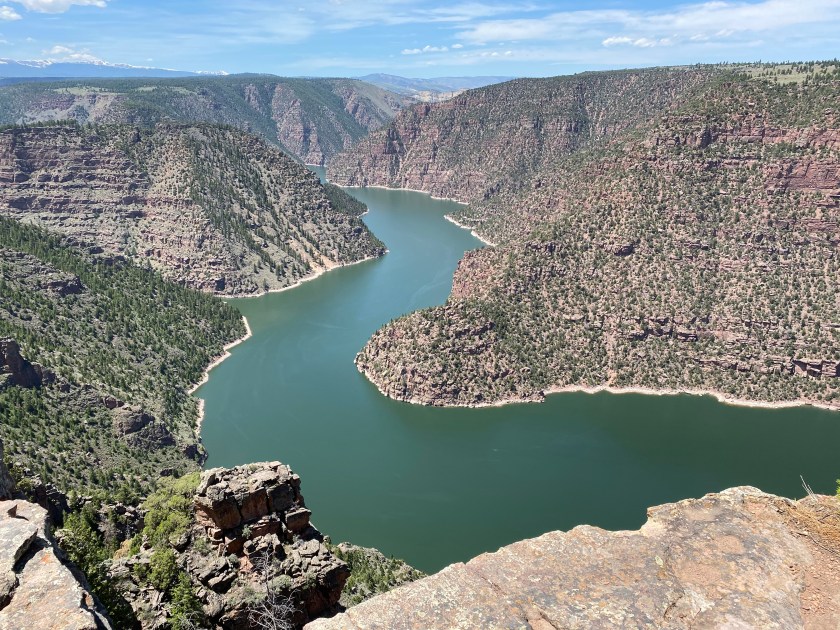
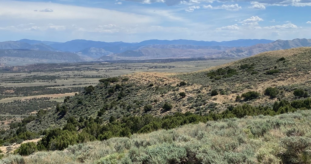
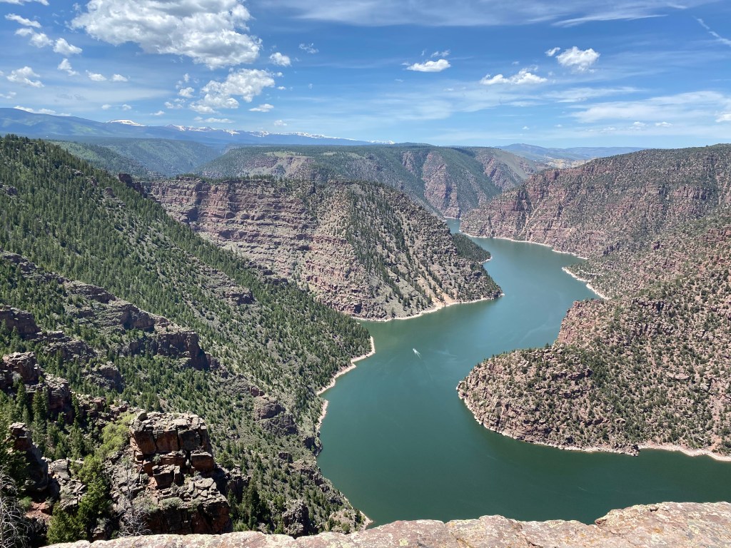
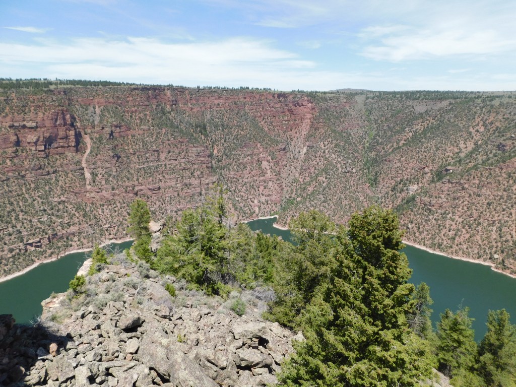
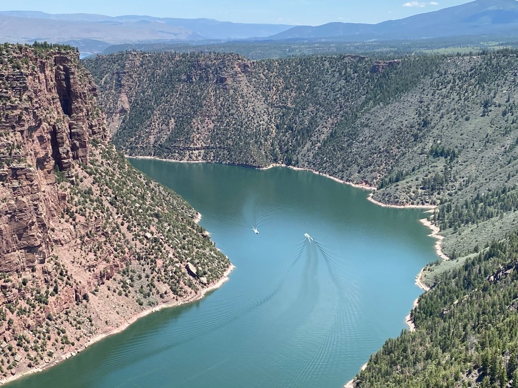
I know I am behind on posting photos, having just finished posting photos from Flaming Gorge NRA taken on Sunday, June 6. Let me jump ahead to two days ago, Tuesday, June 15 when I drove up to Cody, Wyoming to attend my first rodeo. As I drove north, past the little town of Meeteetse, I spotted something off in the distance and stopped to take a photo of it. It doesn’t show up very well in the first photo but would soon become hard to miss.
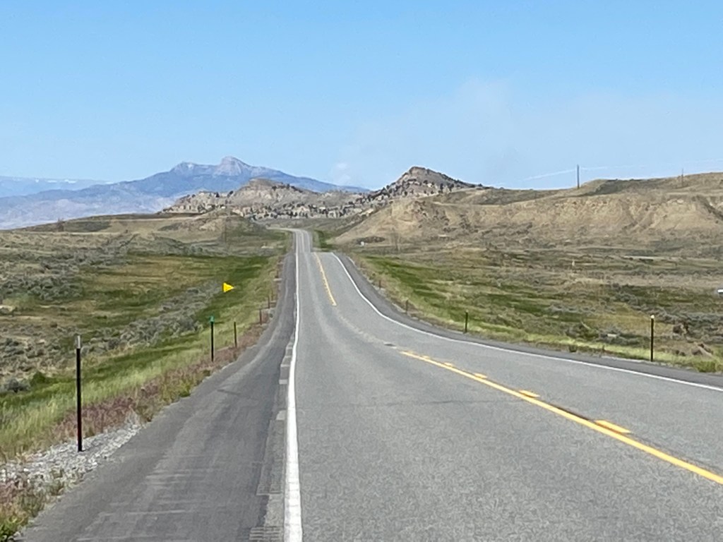
If you look really close, directly above the white line on the right edge of the road at the top of the first “hump,” you will see a small column of white smoke (it was more noticeable with my sunglasses on). The photo above was taken at 1144am Tuesday. I was afraid it might be a wildfire on the back of the dark mountain and soon my fears were realized. This was the early stages of the Robertson Draw fire, which started Sunday 12 miles south of Red Lodge, Montana – not far from the Wyoming border, and about 35 miles “as the crow flies” north of Cody. The fire isn’t anywhere near the dark mountain, it was just in my line of sight. At this point I believe the fire covered between 200 and 2,000 acres.
Once I got into town the smoke had grown more intense:
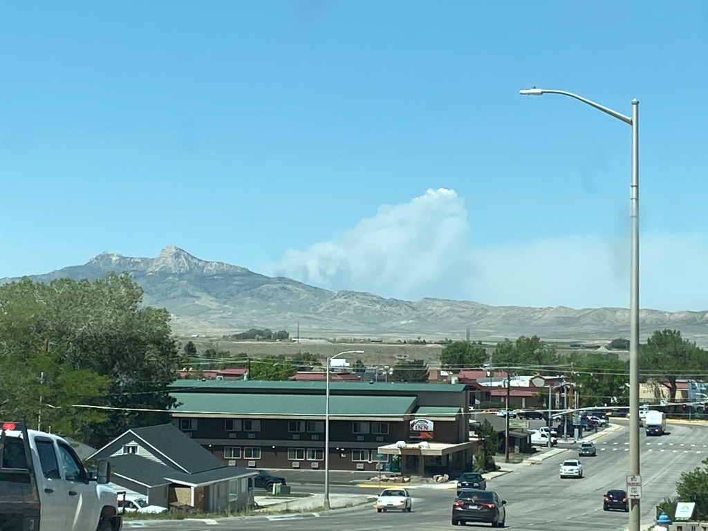
That was at 222pm.
At 420pm this was the view from a set of railroad tracks between Cody and where I would be spending the night in Powell, WY.

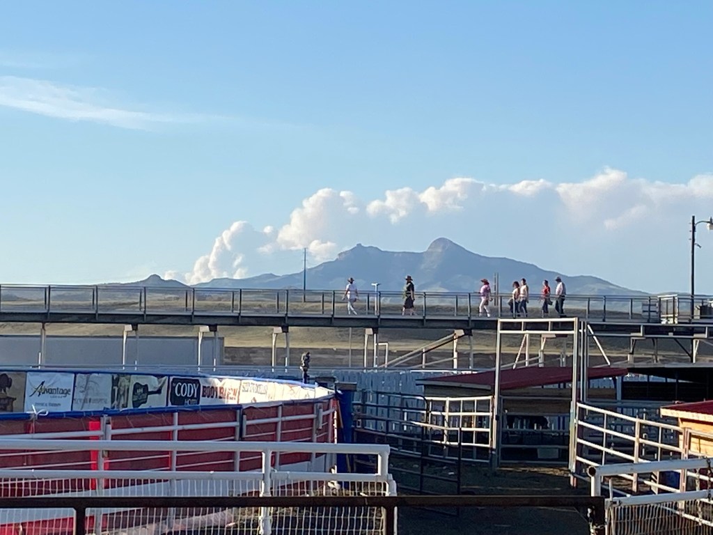
And at 717pm this was the view from the rodeo arena, on the west side of Cody:
As of Wednesday afternoon the fire had grown tenfold again, consuming over 20,000 acres and is now over 24,000 acres as I write this Thursday morning. And as the TV ads used to say – “but wait, there’s more!”.
As I was seated in the grandstand waiting for rodeo to start at 8pm I spotted another column of smoke forming northeast of Cody, to my right:

Just to the left of the lightpole is a vertical column of smoke which I later learned was the start of the Crooked Creek fire, which started earlier Tuesday afternoon in the Pryor Mountains of Montana, roughly due north of the town of Lovell, Wyoming and beyond where I would be spending the night in Powell.
The photo above was taken at 719pm. The photo below was taken at 847pm:

As I write this on Thursday morning this fire has already consumed over 5,000 acres in a day and a half.
Conditions were hot (100+ degrees in Cody mid-afternoon) and dry, and there was a stiff wind where I was, not a good combination for wildfires. The northern state’s fire websites don’t update as frequently as CalFire did when I was in California but it appears that both of these fires are off to a strong start, with little or no containment.
My friend Max is currently down near the Grand Canyon in Arizona and has already been near two wildfires down there, one near the South Rim, which prevented him from taking the most direct route to the South Rim Visitor Center from Flagstaff (because the fire was straddling that road), and he saw the smoke from a wildfire southwest of Grand Junction, Colorado when he drove up to the southeast entrance of Canyonlands National Park in southeast Utah last weekend.
I will have more updates about wildfires which occurred in Colorado late last year when I get caught up to my trip to Fort Collins, Colorado last week. I am in my final week of “family time” here in Lander (and am still accumulating photos from my almost daily road trips from my base here) so hopefully I will get caught up when I get back on the road next week. From Lander I will be heading west into southern Idaho, then south through Utah and Arizona.
Stay tuned!