Shoshoni

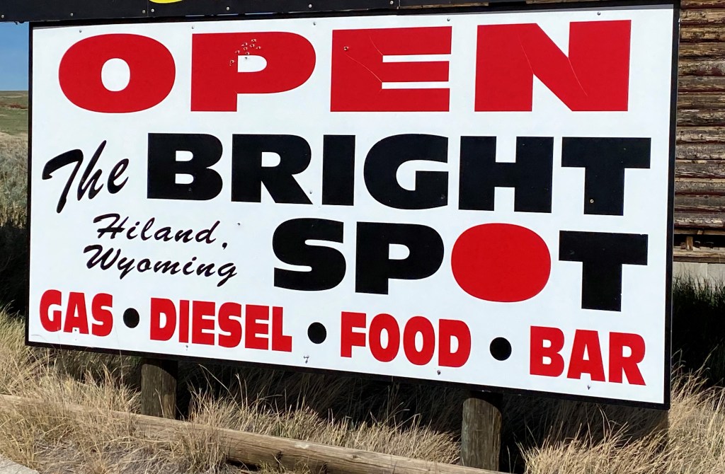
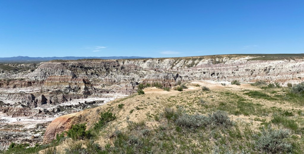
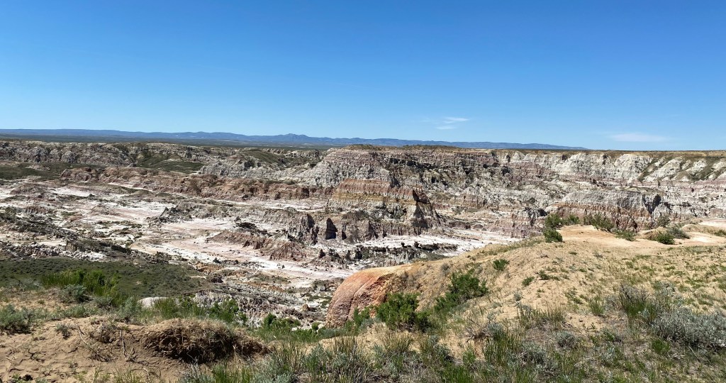
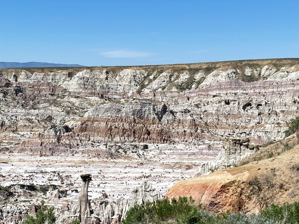
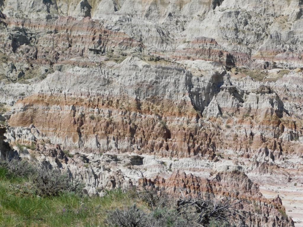
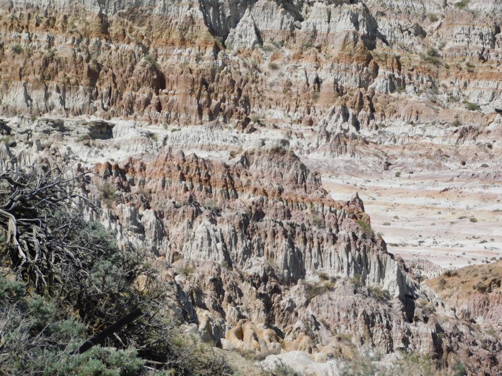
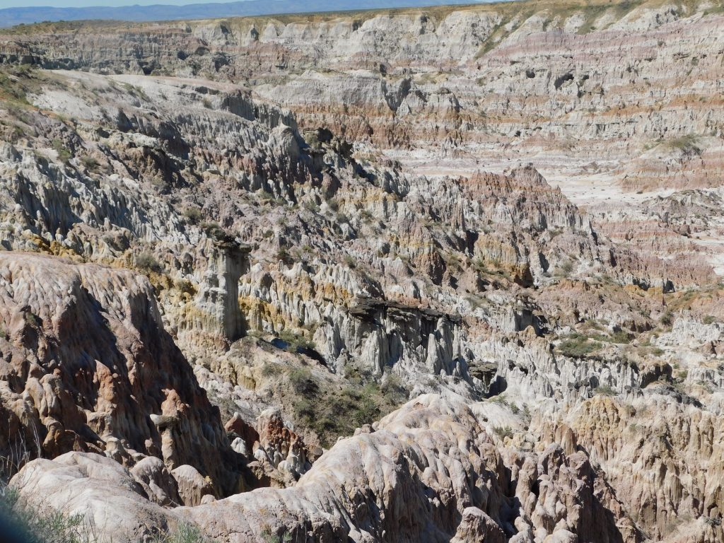
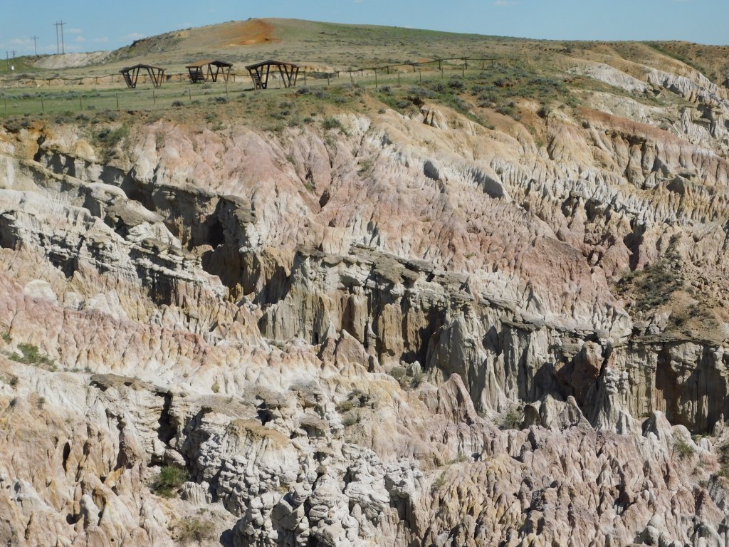
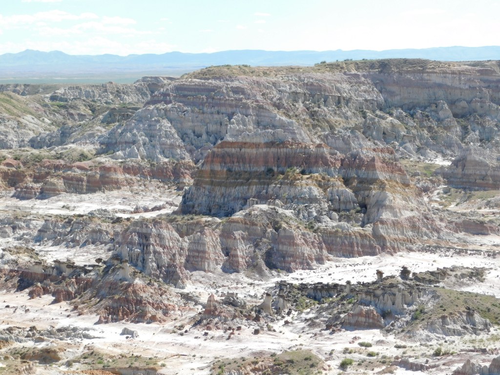
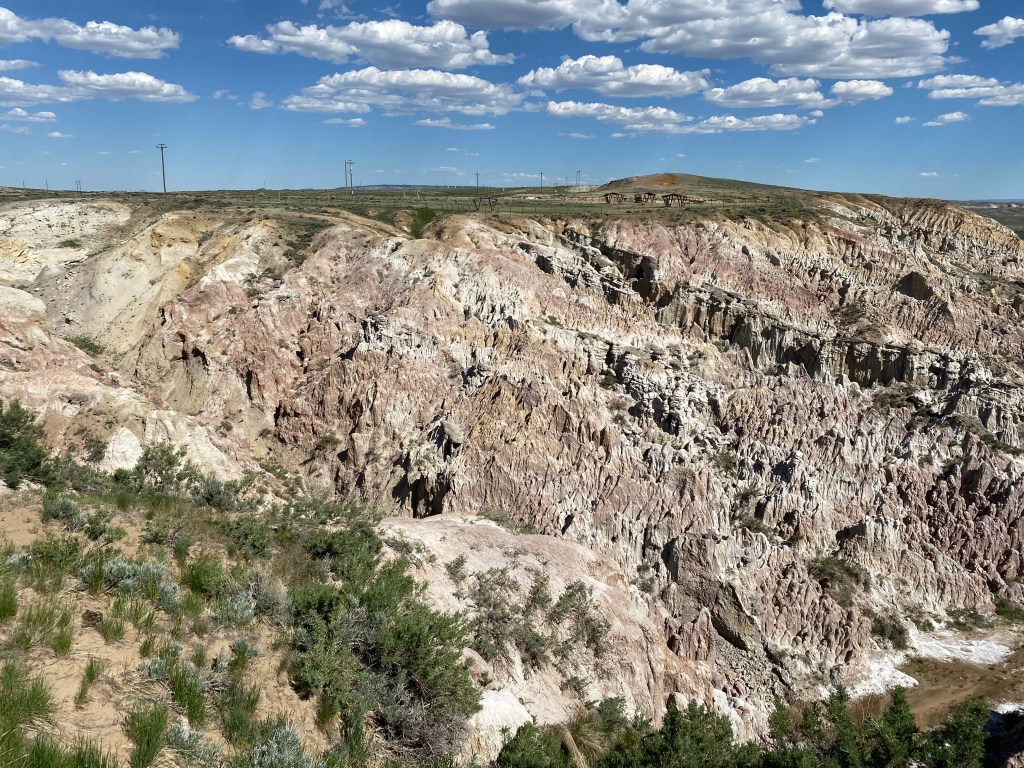
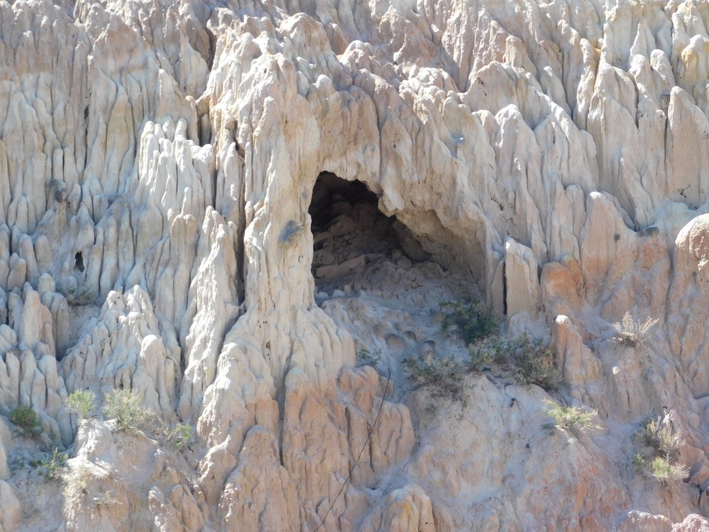
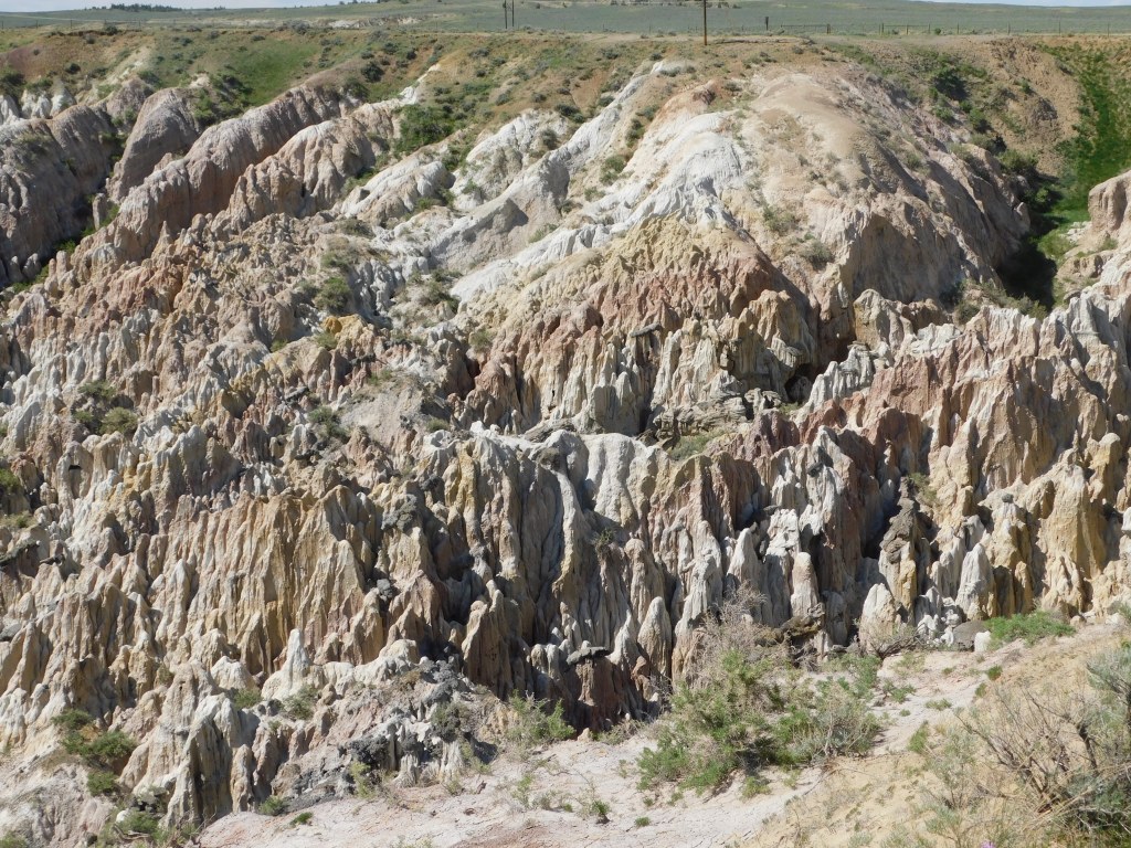
This little one-traffic light town was one I passed through on my way to both Thermopolis and Casper. As I continued east on Highway 20 on Friday I passed some interesting rock formations just off the road to my left and not far from town and I made a note to stop on the way home to take photos when the sun would be in a better location.

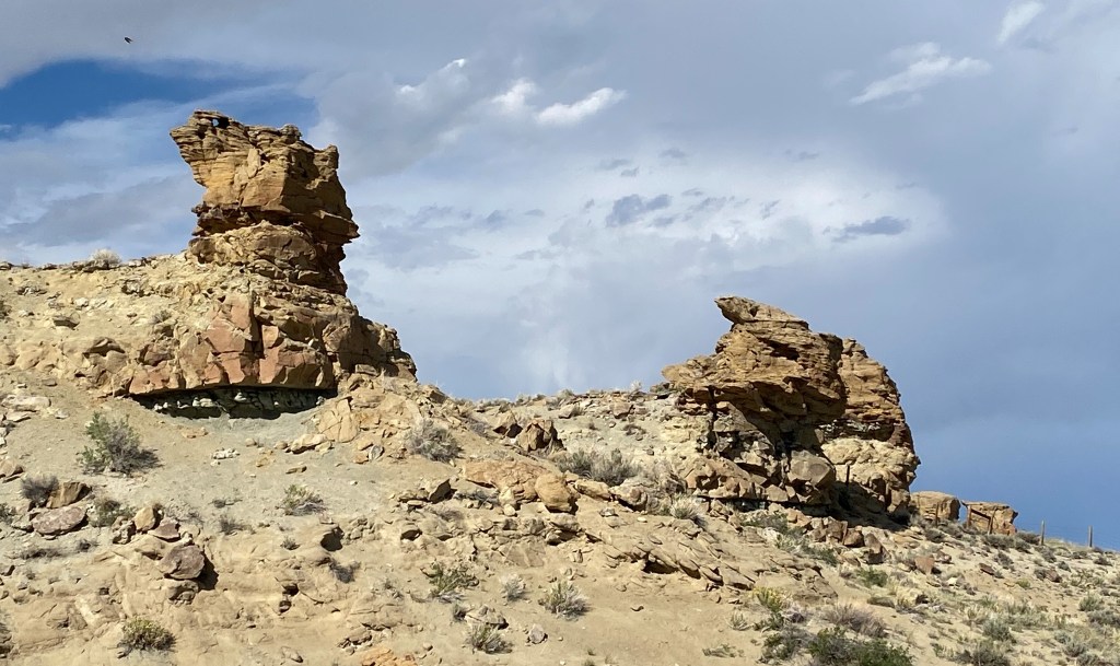
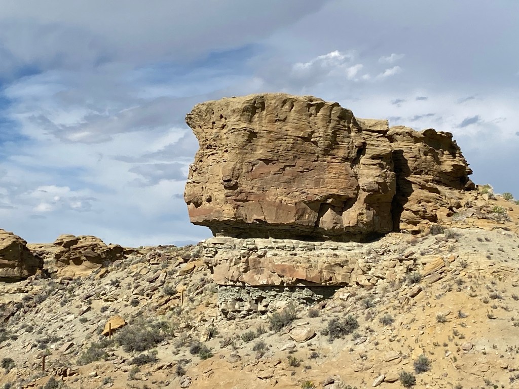
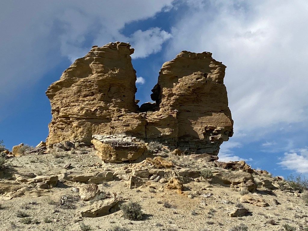
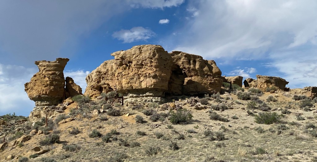
There were lots more than these but this gives you a general idea of what was there. This made an otherwise rather boring drive to Casper a little more interesting.

Hiland, Wyoming

I passed through this little town on my way to Casper and made a mental note to stop on the way home to take photos.

That’s it.

You’ve now seen Hiland in all it’s glory. The whole enchilada.

The building on the left in the first photo was at one time a motel (which someone came out of when two vehicles pulled in after I had taken my photos and is evidently where all the residents of the town live). The building on the right houses “The Bright Spot,” a restaurant/bar and fuel station.

The parking lot (which covered a large area) had recently been repaved which, as my original boss in North Carolina would have said, was not inexpensive.

Business must be good!

Hell’s Half Acre

I had seen this in my Road Atlas and when I asked my nephew Sam about it he was familiar with it but had never been to it. Turn’s out it was on my way to Casper on Friday so I stopped to take a look. Despite the name, this is actually a 320 acre depression in the earth’s surface which Indigenous Americans would drive bison into for slaughter. Remnants of their weapons and animal bones have been found on this site.

I was the only person here when I arrived but there were soon other vehicles with travelers who stopped for a brief look. It is located right next to Highway 20 on the way to Casper. There was a large dirt parking area surrounded by a chained link fence topped with barbed wire. The entire depression area is also surrounded by a fence so evidently the state does not want people wandering down into it. It doesn’t look very forgiving anyway…

When I took a photo to text to Sam I described it as a miniature Bryce Canyon (a National Park in southwest Utah) but after examining my photos on my computer I now say it resembles a mini-Grand Canyon:

The photos above were taken in the morning, on my way east to Casper and were taken using my iPhone camera. I was able to reach up and hold the phone between the strands of barbed wire to get an unobstructed view. While in Casper I stopped in a Walmart and bought a 3-step ladder to enable me to get up even higher and reach up over the barbed wire with my digital camera. This enabled me to get closeup photos using the zoom lens and this brought out the amazing colors on the rock formations. I believe if you click on any of my photos on the blog it will open them full size on your device so you can see them in greater detail.

I stopped here again on the way home in the afternoon so the sun was now in a different position. I used the ladder to take more photos up and over the barbed wire fence with both cameras: