Cheyenne

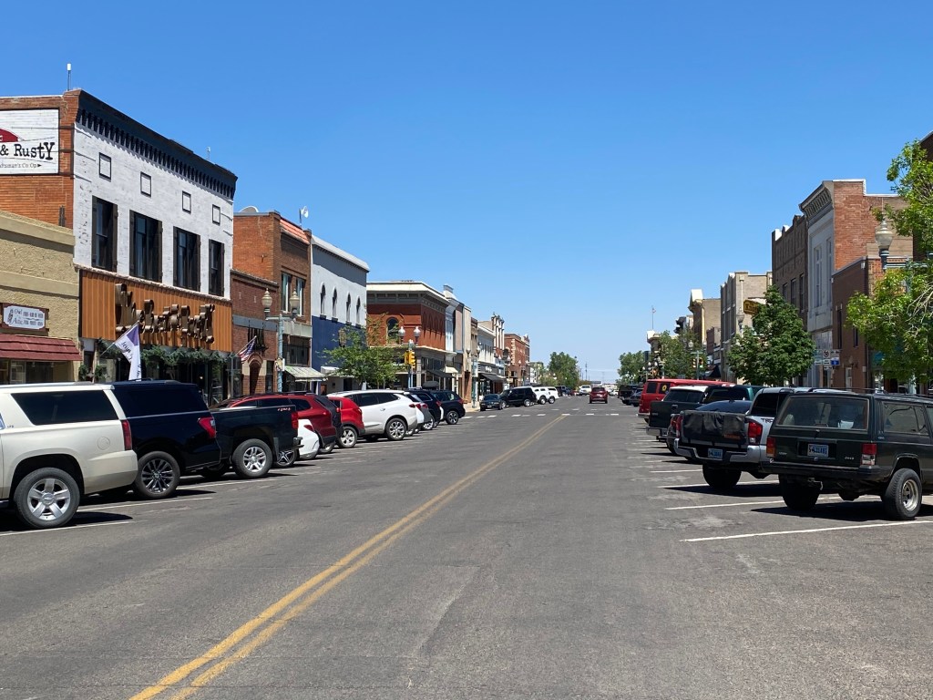
After spending part of the day in Laramie on Wednesday I zipped over to nearby Cheyenne, about 45 miles to the east. I would be spending the night down in Fort Collins, Colorado as a set up for a scenic drive back to Lander the next day on a road just north of there. Fort Collins is about an hour south so I knew I only had until 7pm to see the things I hoped to while in town.

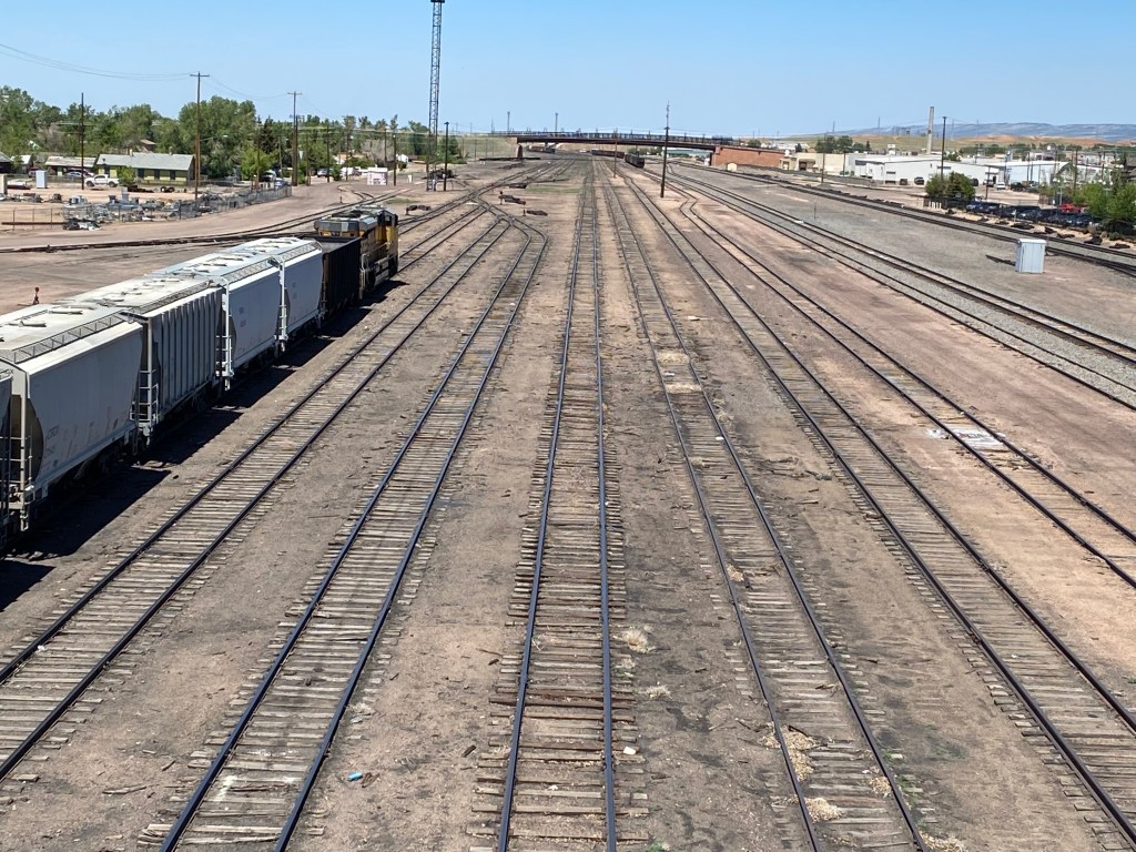
As I drove into town I had to go up and over a bridge which spanned many sets of railroad tracks (way more than there were in Laramie). There was a tower between the two bridges (which took cars in opposite directions) much like an air traffic control tower at an airport, to allow controllers to monitor and supervise traffic on the various sets of tracks. Trains are a big deal in the west and it is not uncommon to see a train which is miles long.

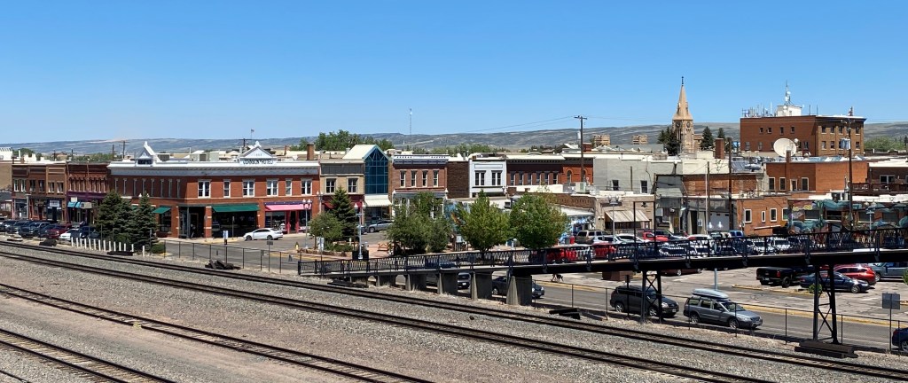
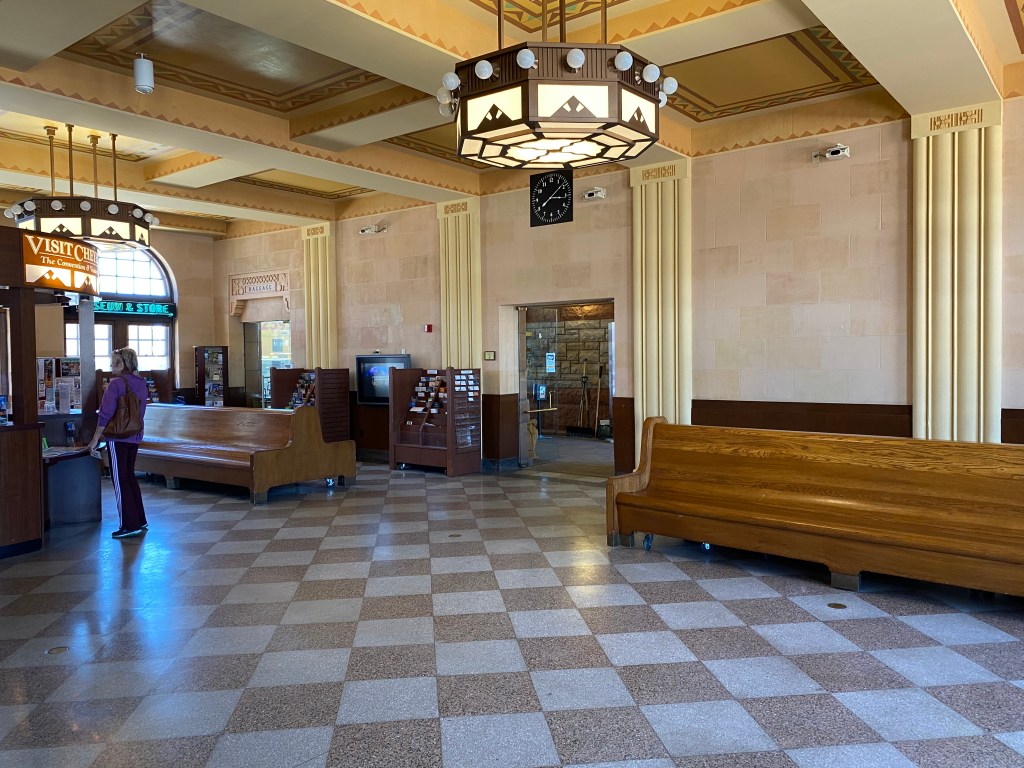
My first stop, ironically, was the train station downtown, as it is where the Visitor Center is located. I had a very pleasant conversation with the young lady who was working there and she was very helpful in approving my “to-do” list and indicating on a map where everything was. There would be more driving and less walking this time.

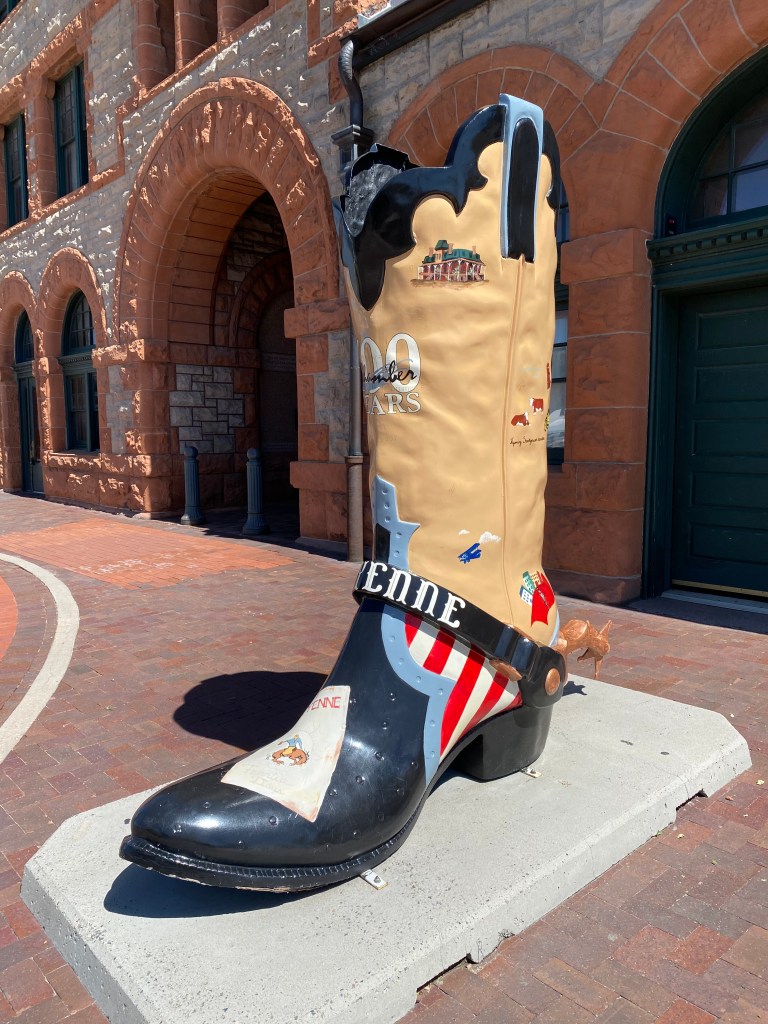
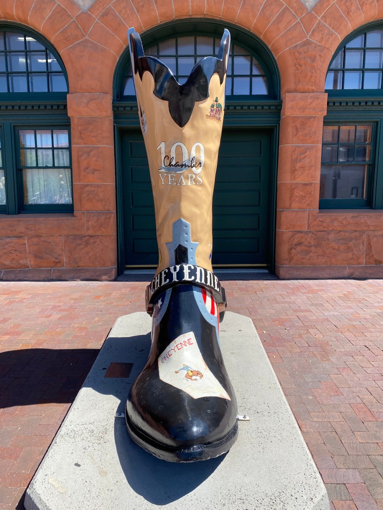
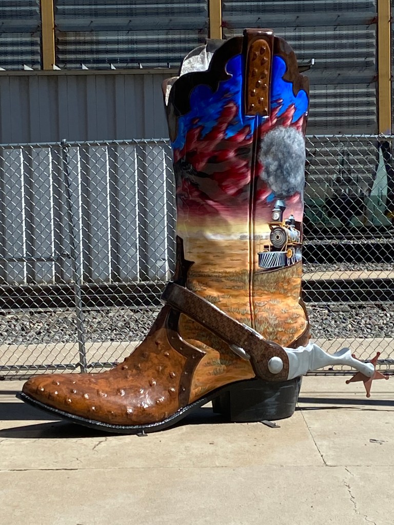
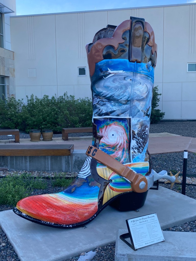
One of the things I wanted to see were the “boots” scattered around town. Various towns across the United States participated in an art project several years ago and each town had a theme which suited it’s local flavor. Cheyenne had cowboy boots. BIG cowboy boots. There were three lined up right in front of the railroad station:

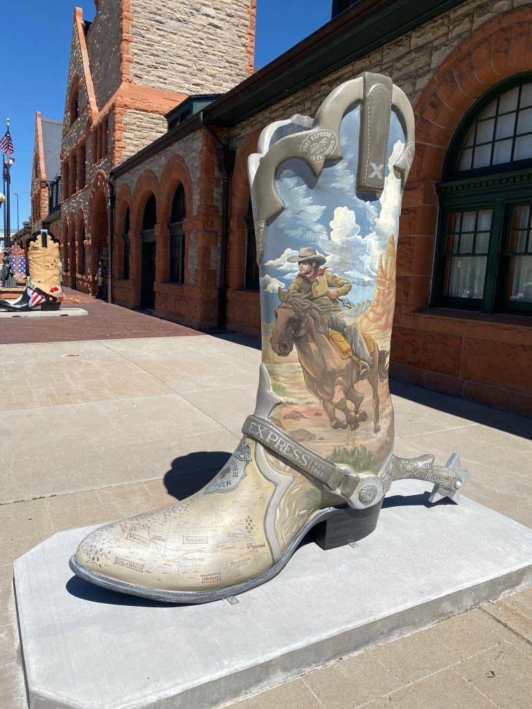
These babies were over six feet tall and each painted with a unique theme.

This one was behind the station in a restricted area so I could only get a photo through the window:

Here is a photo of the train station/Visitor Center:

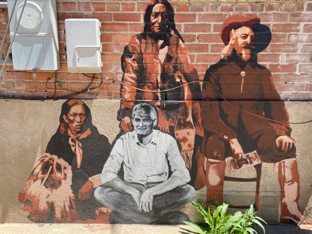
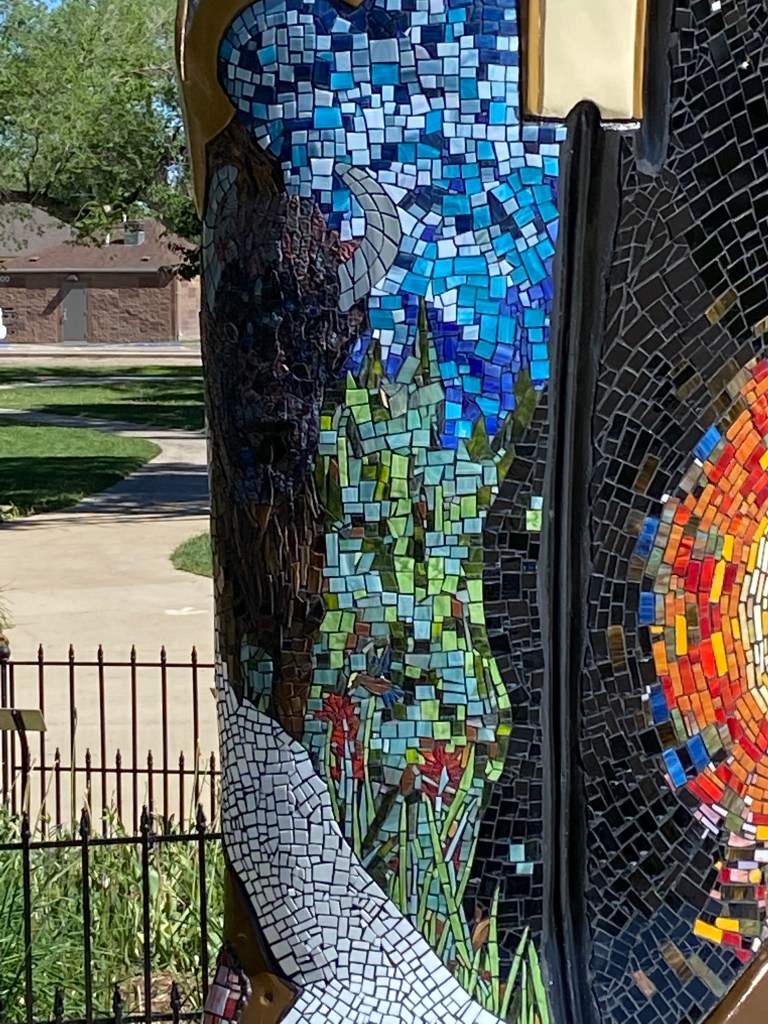
Inside, most of the benches where travelers would normally sit had been removed and there was a large “mural” on the floor showing major items of railroad and history milestones in many of the northwestern states:

After organizing my game plan I drove north of town to the Botanical Gardens, which I was told was very nice. It would close at 5pm so I wanted to get it checked off the list first. I drove past the state capitol to get there and I regret not taking the time to go inside. It wasn’t a very big building but state capitols are often very ornate, inside and out, and worth a look.

I arrived at the Gardens and of course there was a boot outside near the entrance, a tribute to a major benefactor and designer of the Children’s garden I would soon tour:

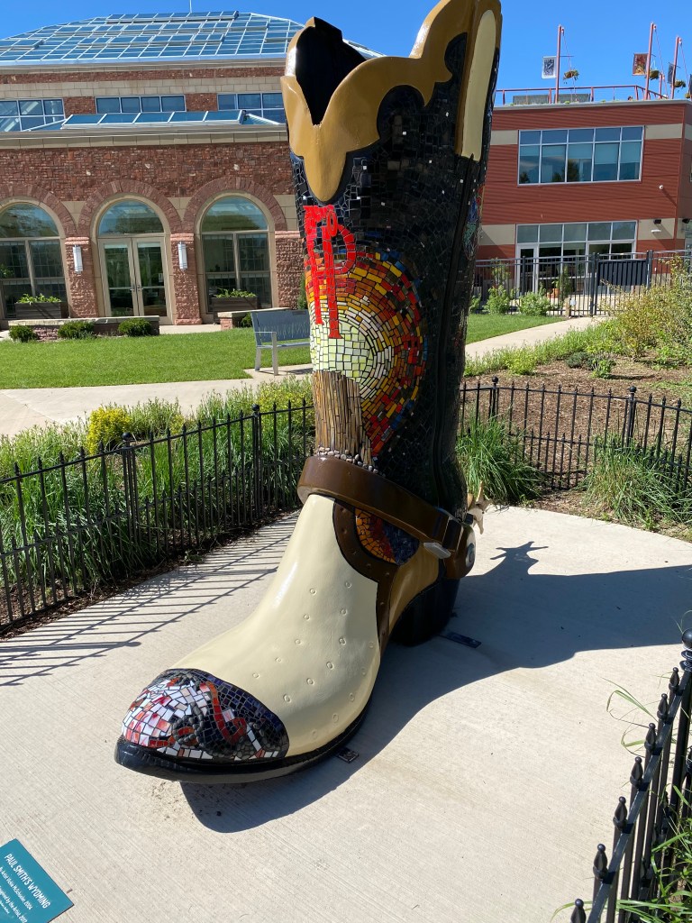
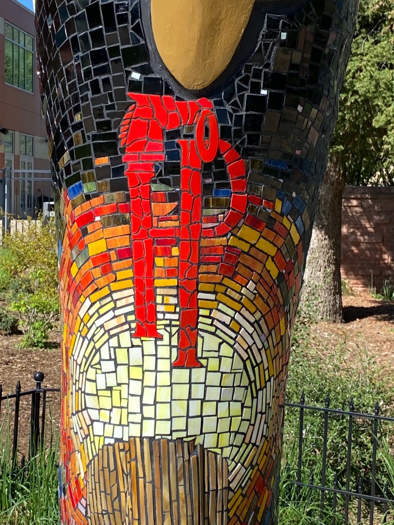
Hard to tell with the up close photo but the back of the boot contained an image of a large bison.

The woman at the welcome desk at the Botanical Gardens was very helpful in prioritizing my list of things to see in the brief time I was there. She suggested I go through the inside, three level atrium and also allow time to walk through the Children’s garden outside.

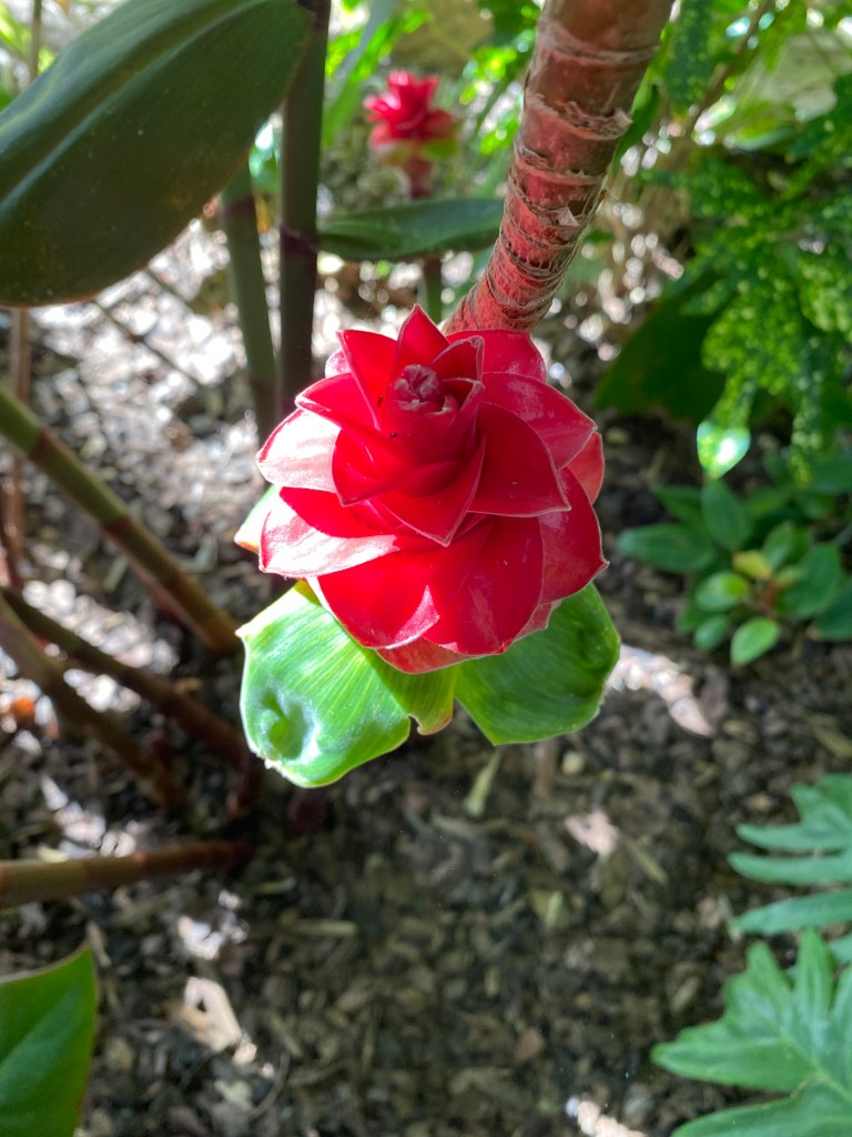
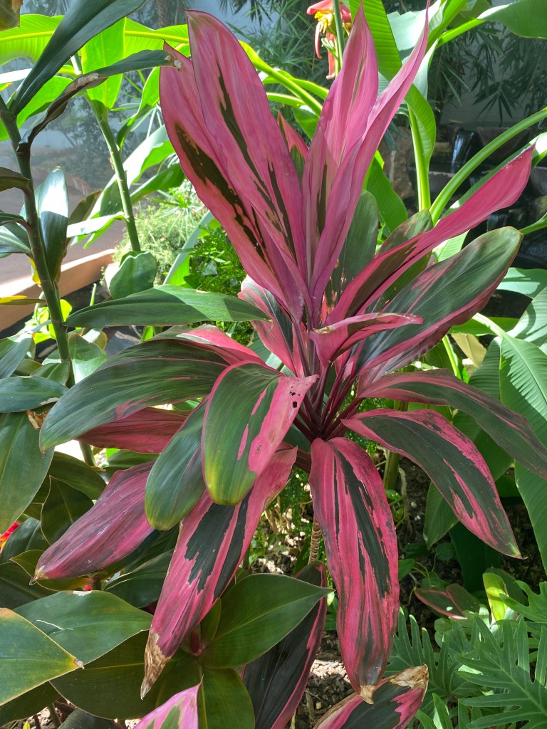
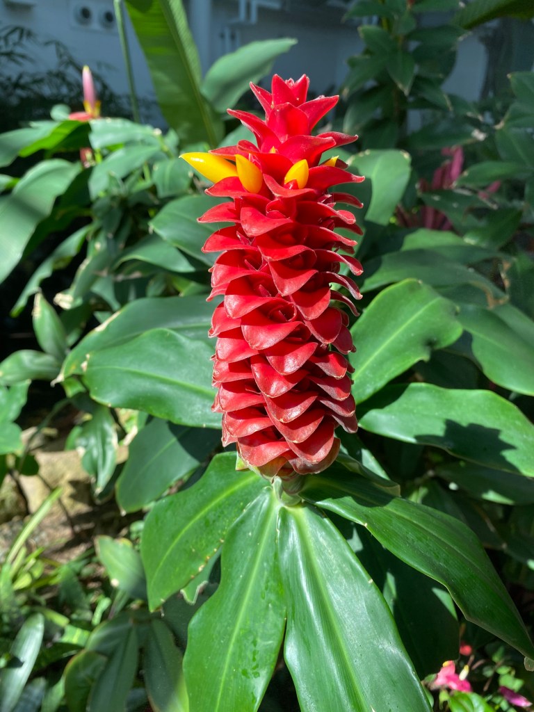
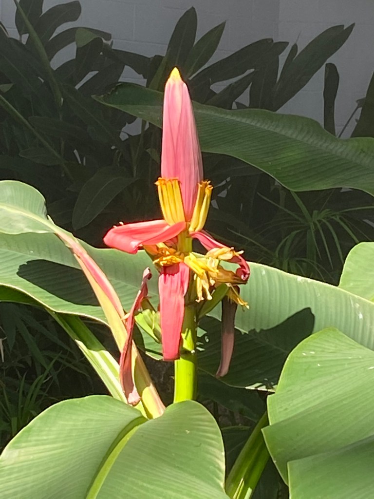
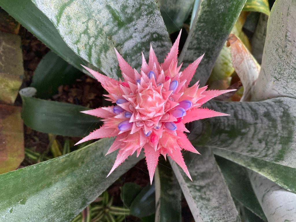
It was blazing hot in the atrium and I started at the top and quickly worked my way back down to the ground floor, thankful for the “misting stations” which kept the plants watered. I mainly took photos of any plant with color on it but most of the plants were lush green.

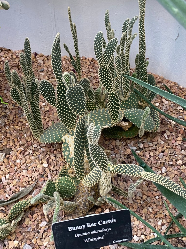
These were green but I couldn’t resist getting photos of the “Bunny Ear” cactus:

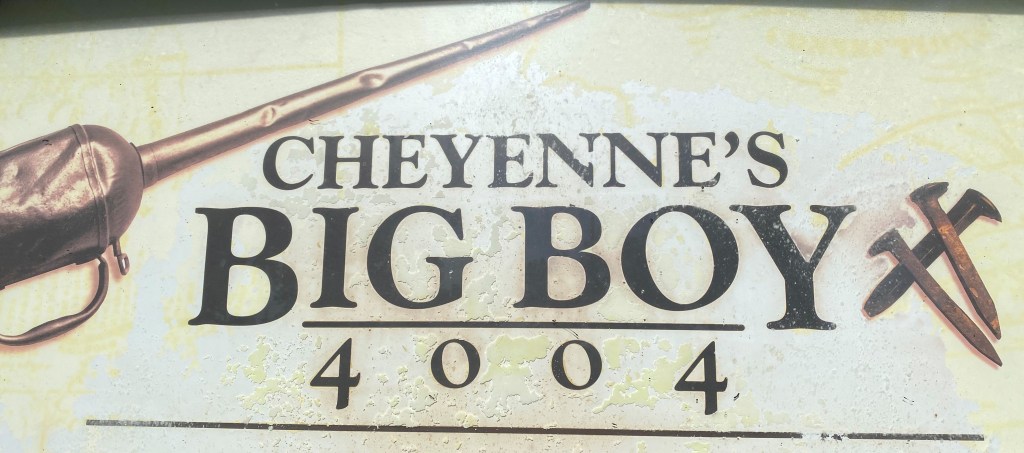
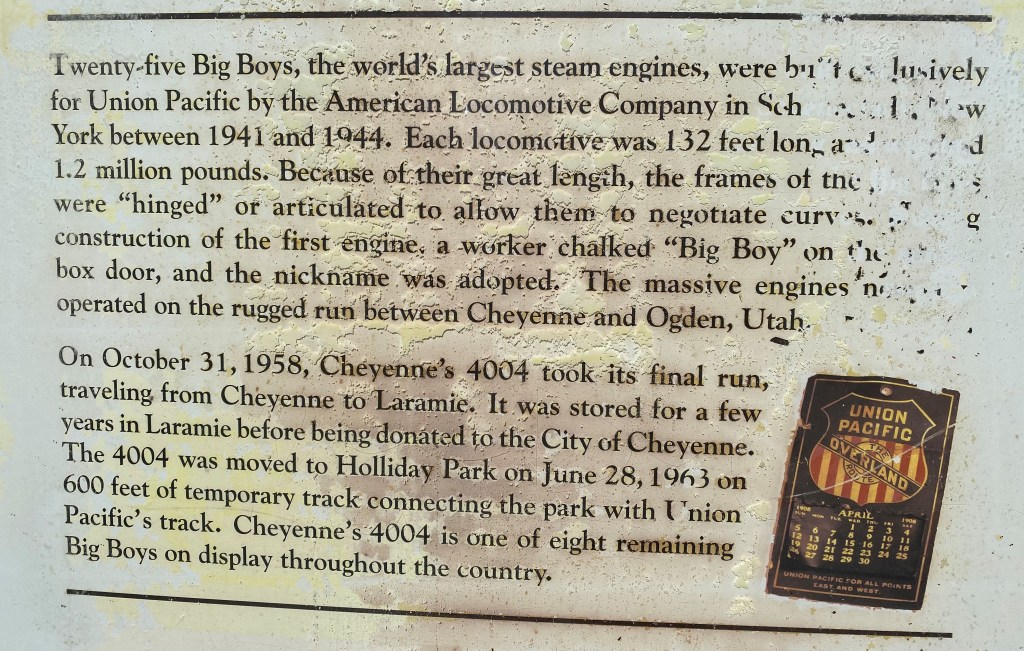
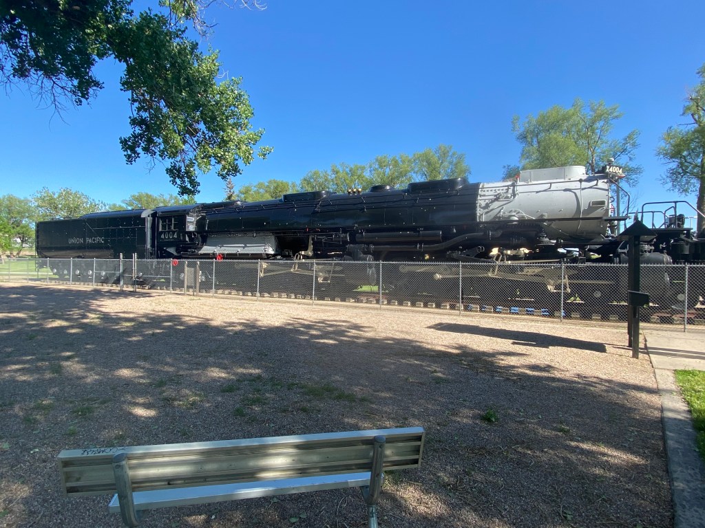
At closing time I headed over to a city park on the east side of town where a “Big Boy” replica was on display. Not Bob’s Big Boy, which you will see in a future post, but a large steam locomotive engine.

After taking my photos I headed across town to a facility I had passed on my way in to town, the NCAR-Wyoming Supercomputing Center where another “boot” was located:

Unfortunately the boots were scattered all over town and although I had a map with their locations I didn’t have time to track any more down. I hopped on the interstate and headed south to Fort Collins, Colorado where I stayed in an absolutely fantastic modern home with a very nice young couple who were preparing for a weekend birthday party for their young son. The perfect end to another perfect day!

Laramie

I had driven past this town on the interstate soon after I entered Wyoming, stopping only to get gas at a lone gas station off the first exit in town (as I did again today) who’s price was 30 cents less than anywhere else in town. Both times I planned it so I would have an almost empty gas tank to maximize my savings (18 gallons x 30 cents is over 5 bucks so, beancounter that I am, I thought it a worthwhile endeavor).

Wednesday I drove back down to Laramie (or LaRamie, given the name of the gentleman the town was named after) to check out the town. I went back down to Rawlins and took Interstate 80 east, retracing my entry into the state. It is about 220 miles from Lander and it took about 3 hours to get there.

I left early in the morning as I would have quite a full day. As I drove south I saw mountains in the distance which were silhouetted by the morning sun and it occurred to me that they were in my mirror as I drove north so I had been denied a look at them.

Laramie has a population of a little over 32,000 and is home to the University of Wyoming. I stopped at Walmart after getting gas to buy some UW swag and then headed downtown. Part of their campus is adjacent to one of the main streets going in to town from where I had gassed up and it is beautiful.

I stopped in at the Visitor Center downtown to find out where the handful of things I wanted to see could be found and was pleased to learn that they were all within reasonable walking distance. I found a free all-day parking lot, put on my full-rim hat and meandered through town. It was such a nice day that I decided against visiting two museums in town but as you will soon see, made up for it by taking a walking tour of many murals which have been painted around town.

The train station wasn’t open to the public but there was a walkway up over the tracks and I hoped a train might come through while I was up there but was denied that photo op. I heard them rumble through town a few times during my walk but they never passed through while I was up there waiting.

But the extra height did me a nice view of part of the downtown area:

Being a college town I found it amusing to see this sizeable bar/restaurant called The Library. Their awning proclaimed “Don’t lie to your Mom. Tell her you’re at the Library”.

I spotted this beautifully decorated angular rain gutter which carried the water from the roof of a building down to street level:

Here is a closer look at some of the tiles which made up the pattern:

Then I started in on the murals, which were scattered throughout one side of the downtown area, often in back alleys.

I suspect the artist took the liberty of inserting himself into this scene:

This is a larger than life map of Wyoming, painted on the side of a building. It is enormous:

And next to the map was an even bigger pronghorn antelope. The cars at the bottom of the photo give you an idea of just how big it is (and you can see part of the map on the left side of the photo):

Next I found a long series of fish paintings. Please bear with me because I think they are all pretty good:

And one last mural I found as I walked back to my car:

Next stop – Cheyenne, which is about 45 minutes further east on Interstate 80.

Farson/Jackson/Dubois Loop

Monday I took a break and spent the day planning my route and booking Airbnb’s for the first month of my post-Lander life. June 25 I will hit the road and travel over to southern Idaho (just west of where I am now), then down to Utah to spend more time in some of their National Parks, and Arizona – a state I largely neglected during my earlier trips to the southwest.

Tuesday I drove back down to Farson, where we enjoyed ice cream on the way home from Flaming Gorge on Sunday, but this time I turned right and headed northwest towards Jackson, next to the Grand Teton mountains and the border with Idaho. From there I drove a little further north and then turned right to head southeast back towards Dubois which I visited about a week earlier.

After passing Red Canyon south of Lander and before the road started going through mostly open space when I got past Atlantic City I saw these bright wildflowers next to the road, a sure sign that it was going to be a great day:

I arrived at the crossroads in Farson and turned right to start heading northwest. This sign was along the fenceline of a ranch just north of Farson:

Although it may look solid it is mostly air. The four leaf clovers were either cut near the corners or were welded on later. The line through the middle and the little man were also either cut out or welded on later. Not sure what the name of the ranch is but it struck as a very clever, if labor intensive, sign.

As I was driving north towards Pinedale, which I would reach before Jackson, I was driving through a large open area with scrub-brush on either side of the highway, much like the road from Lander to Farson. I did a double-take when I saw this sign which said I was entering a National Forest.

Huh?

Well, when I drove a few hundred feet further I saw a sign saying I was exiting the National Forest and realized it was just a prankster labeling the three small trees next to the highway as a forest. Oh, the easy life of a park ranger to have this plum assignment…

I continued on up the road to the town of Pinedale. I had read online that there was a road called “Skyline Drive” overlooking a lake and stopped at the Visitor Center in town to find out where it was. I had to backtrack a short ways before I could start climbing the mountain next to the town. Once I got up towards the top I had a very nice view of Fremont Lake below me and the mountains off in the distance:

I had driven up into the eastern portion of the Teton-Bridgerton National Forest (a real forest) and was looking west towards the western portion of the same Forest and the start of the Teton Mountain range which would become Grand Teton National Park up past Jackson. I climbed up as far as the road went at which point I was at about 9300 feet elevation. The town of Pinedale is at 7,180 and the Skyline Drive was about 13 miles long. Once at the top I had a view of the Wind River Mountains to the east:

I stopped on the way down for another look at Fremont Lake before getting down to Highway 191 to continue my trek to Jackson.

As I got closer to Jackson the road got a little more interesting as I got in to more mountainous terrain. There was a small rain system passing through the area so at some points there was a light drizzle and I was in an overcast area while the mountains ahead of me were in bright sunshine. I hope it is a clear day when I pass through the area again as I leave Wyoming as there were some great photo ops which I passed on because the conditions were less than ideal.

In the panorama above I appear to have captured a UFO, hovering over the road. It is actually a quirk of taking panorama photos when a vehicle or animal is passing through the frame and can result in some rather amusing distortions. In this case it appears to have been a black pickup traveling right-to-left as I panned the camera left-to-right resulting in a severely “shortened” tiny-truck with tiny-wheels.

The photo above is a portion of the Grand Tetons, northwest of Jackson. The photo below is looking back from a little further up the road and includes a glimpse of the Snake River.

I have posted numerous photos of this area before and won’t repeat them here.

I turned right when I got to Moran, north of Jackson, and started east through the Togwotee Pass on my way to Dubois.

When I got to Dubois I stopped at the National Bighorn Sheep Interpretive Center and took some photos of the displays there:

South of town I stopped at the huge National Museum of Military Vehicles, the largest private collection of such vehicles in the world. There are several large displays indoors and many vehicles under roof outside. It is an impressive display of all types of vehicles from several major conflicts and if you are interested in such things you would very much enjoy a visit to Dubois to see it for yourself.

I can’t say as I have ever thought of a canoe as a military vehicle but in the strict definition of the word I suppose it is:

I was also struck by how small early tanks were. The one below is shorter than my Nissan Altima:

As I left Dubois to head home to Lander I passed this formation which I had seen in an earlier trip but the sun was hitting it at a better angle.

It was a great day as I drove through a variety of landscapes and made it home in time for a yummy enchilada dinner that my sister-in-law Jen made!