Colorado River to CRNP

Here are the remainder of the photos I took while driving west from Durango to Joseph a few days ago.  These were things I saw along the stretch of road from after I crossed the Colorado River to when I reached the entrance to Capitol Reef National Park.

IMG_20170829_170214115_HDR

IMG_4281

IMG_4313

IMG_4401

IMG_4397

I found some vertical stripes….

IMG_20170829_171610957_HDR

IMG_20170829_171647046

IMG_20170829_171732709

IMG_20170829_171727710

IMG_20170829_171843790

….. and some horizontal stripes.

IMG_4410

IMG_4404

IMG_4406

IMG_4417

IMG_4419

The end of another amazing day on the road.

IMG_20170829_173433548

More from Capitol Reef NP

Here are more photos of what I saw while driving through parts of Capitol Reef National Park the last two days.

IMG_20170830_123405055

IMG_20170830_124842146

IMG_20170830_125300856_HDR

IMG_20170830_125419255

IMG_20170830_125703165_HDR

This is from the Goosenecks Overlook.  It is an 800 foot drop into the canyon below.

IMG_20170830_130922938_HDR

IMG_20170830_132055767_HDR

This formation is called Chimney Rock

IMG_4634

IMG_4453

IMG_4454

And this one is called The Castle.

IMG_4481

IMG_4493

IMG_4521

This is from the area near the Visitor Center

IMG_20170830_141748714_HDR

IMG_4540

And here is the Visitor Center.

IMG_4549

This is from the road where I took photos of the Capitol Dome, but looking the opposite direction.  The area where the blue and yellow colored rocks I posted pictures of yesterday were is along the wall just to the right in this photo.

IMG_4565

And here is another interesting formation along that wall.

IMG_4581

IMG_4583


Interstate Overlook

Who says an interstate highway can’t be scenic.

I set an alarm to get up before sunrise and get on the road as soon as it was light enough to see critters by the road.  It would be a 3 hour drive east to get to Arches National Park, my goal for the day.  2 1/2 hours of that is on Interstate 70, which I can see from where I am staying in Joseph, UT.  I thought taking the interstate would be a quick, efficient way to get to Arches.  I was wrong.

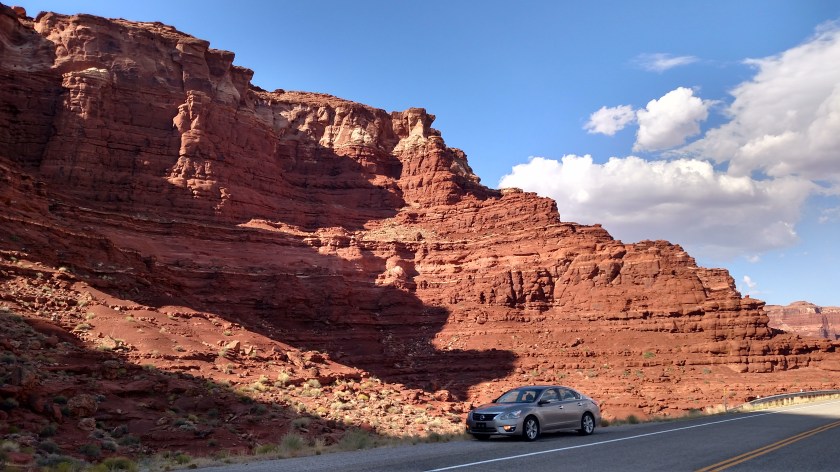
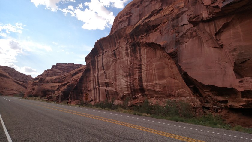
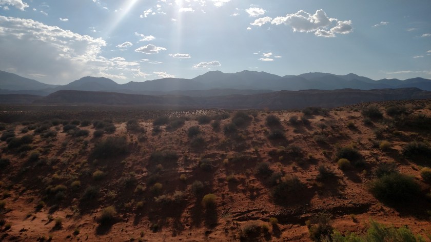
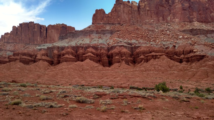
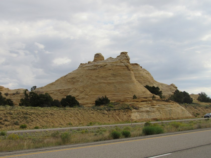
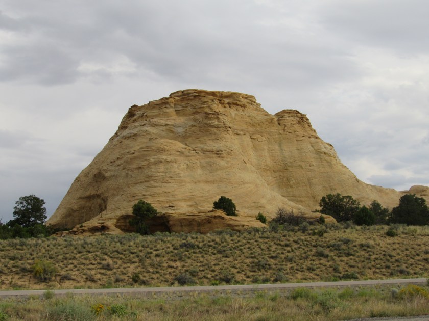
This is Utah.  Everywhere you go there are beautiful things to see.  Same is true with I-70.  Not long after getting on the road there was a sign saying “No Services for the next 105 miles”.  That usually means you’re fixin’ to be on a boring road where the exits don’t even have gas stations, fast food or motels.  The lack of services part was on target, but the drive was anything but boring.

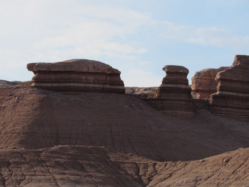
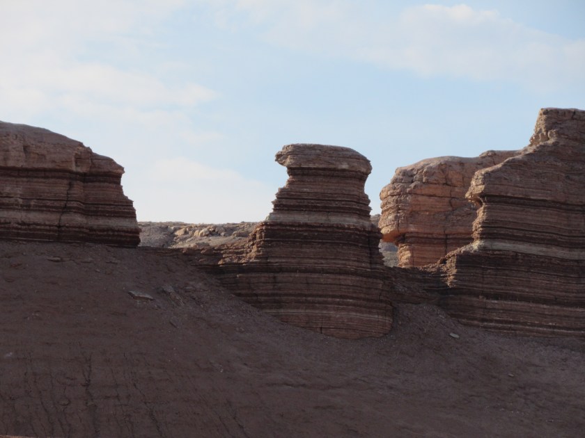
This was the first of several Scenic View pullouts (similar to Rest Areas but without vending machines or buildings with bathrooms) I would encounter before getting to the exit for Arches in 2 1/2 hours.  I could have spent half the day just getting there.

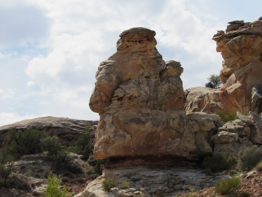
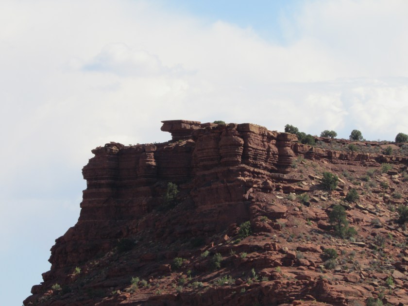
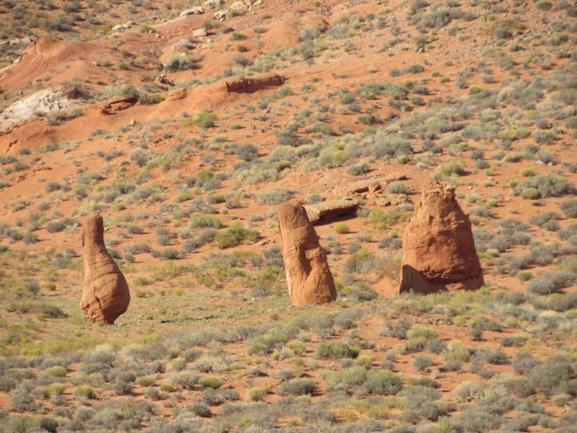
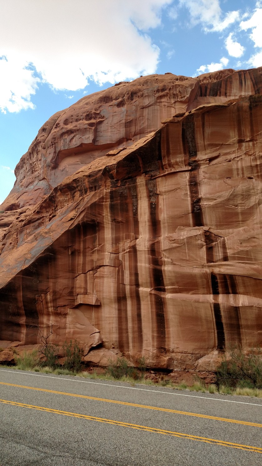
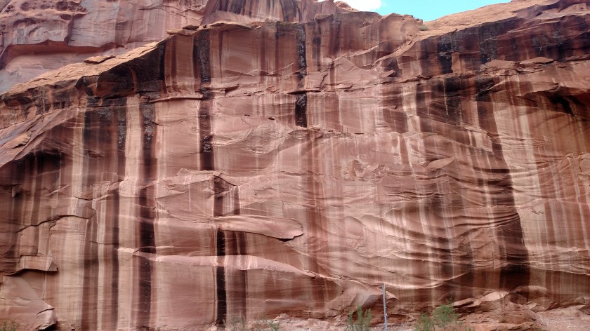
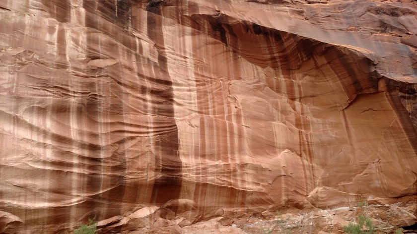
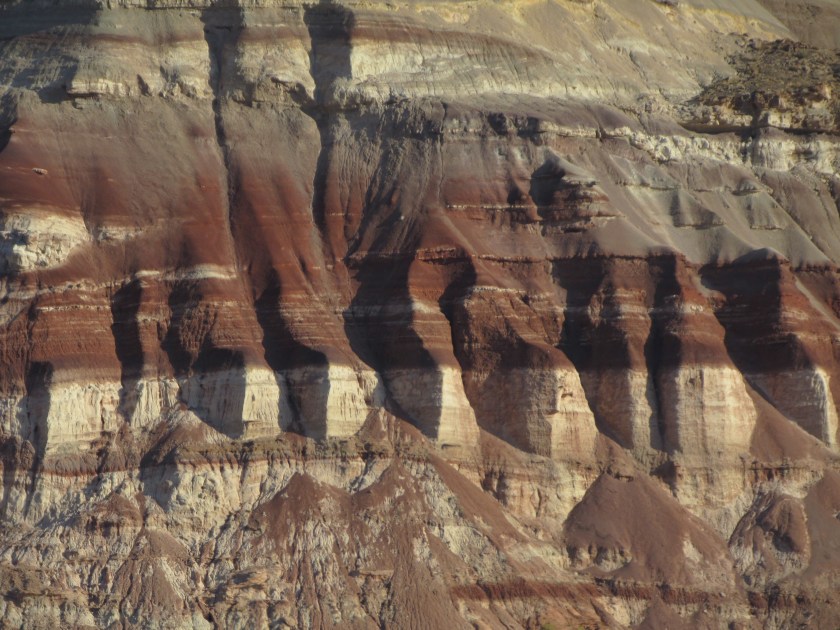
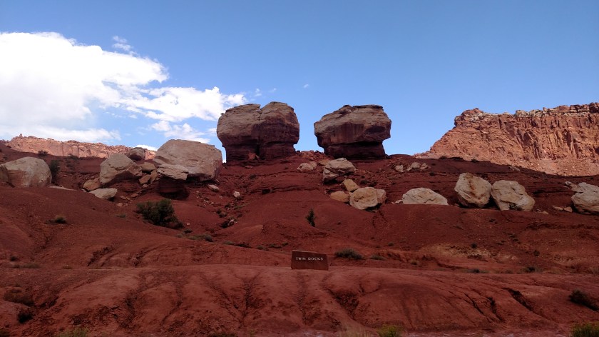
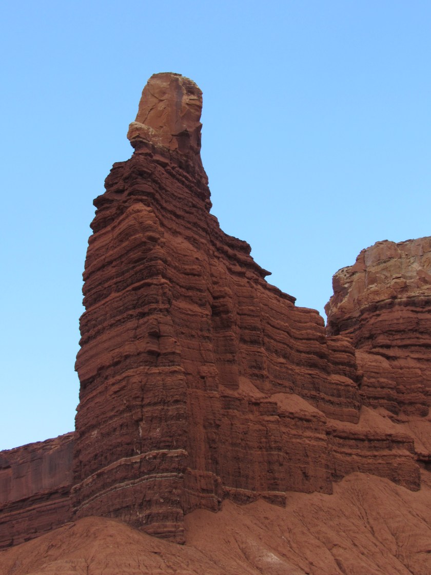
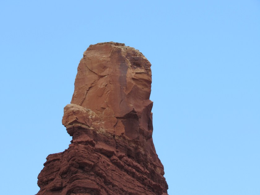
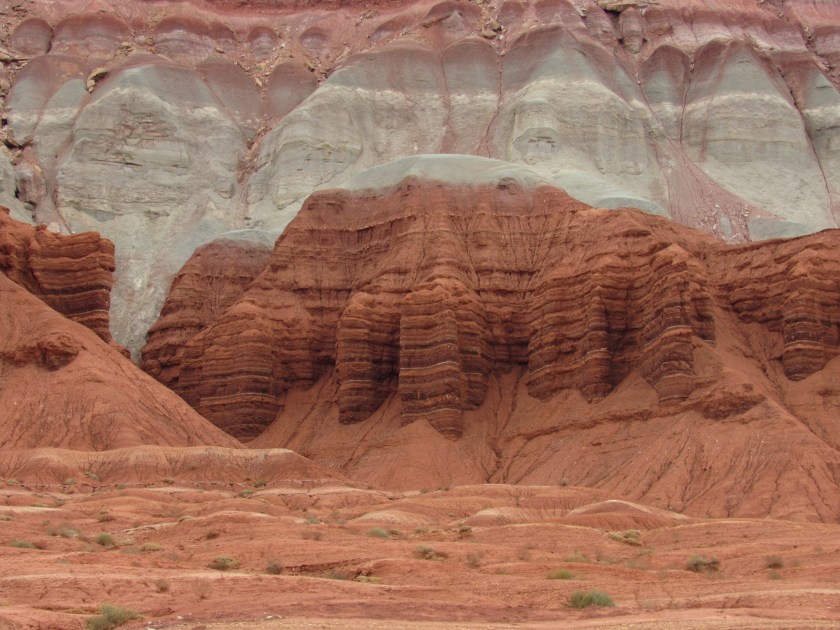
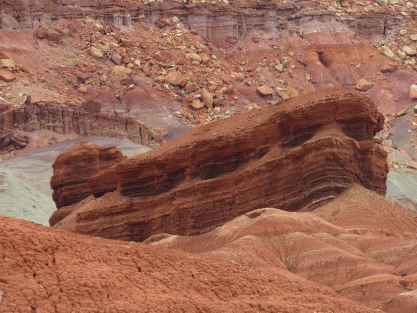
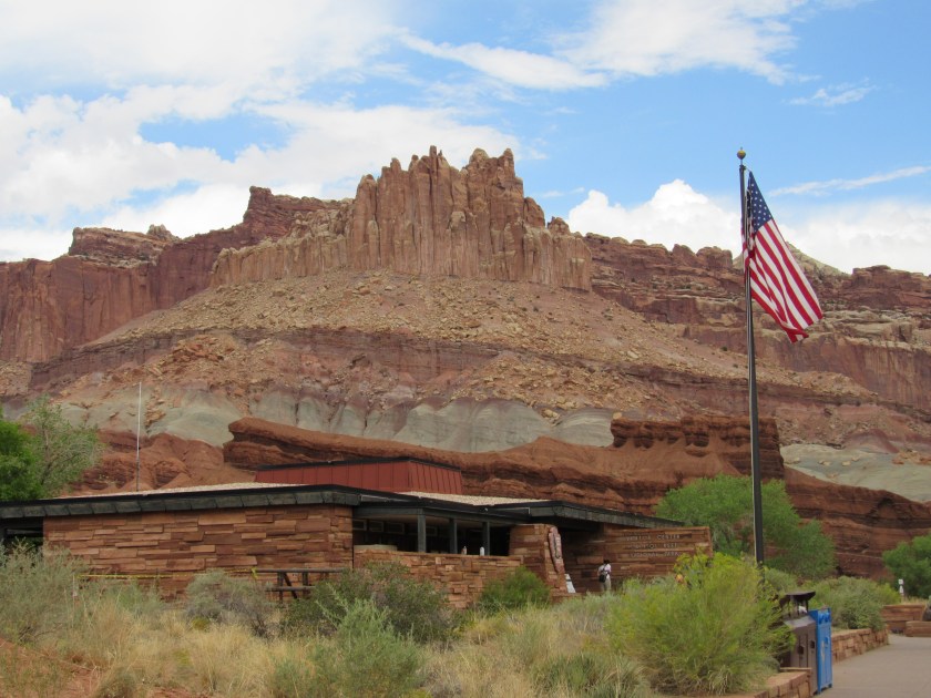
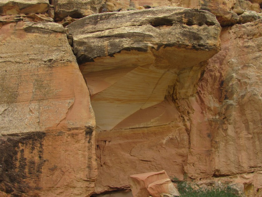
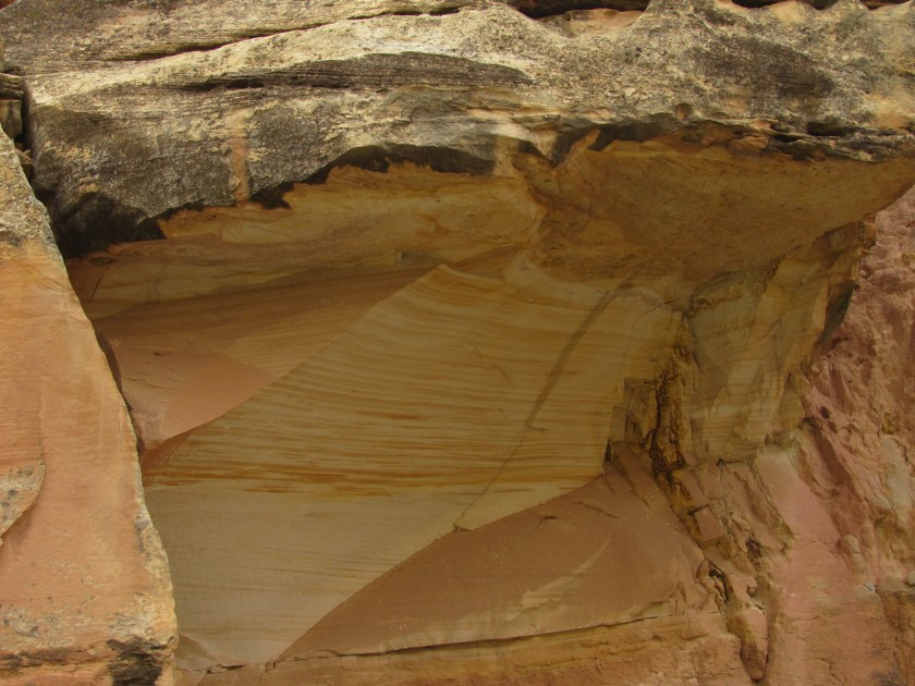
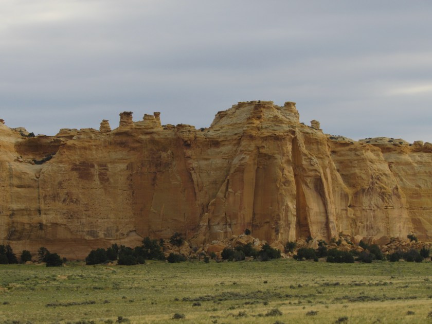
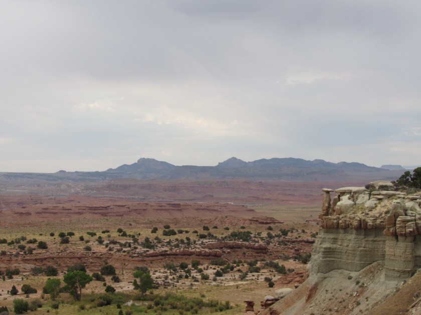
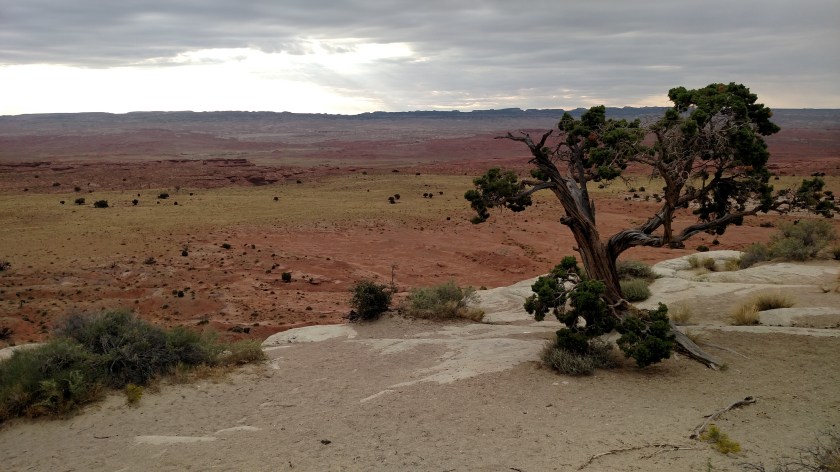
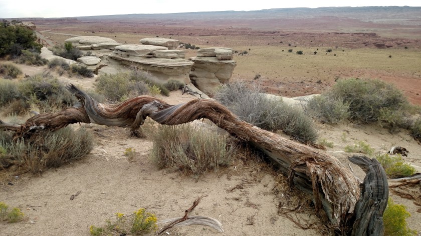
These photos are “just” from the top of what I found when I stopped at the first Scenic View area.  The highway had gained altitude so I was up high overlooking a valley to the east and south.  I was standing on a huge, white-ish rock formation.

IMG_20170831_080653097

IMG_20170831_080710251_HDR

IMG_4665

IMG_20170831_080715124

IMG_20170831_081518256

IMG_20170831_081503526

IMG_20170831_081541958

IMG_20170831_080819909

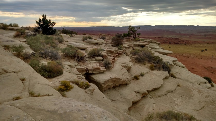
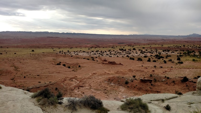
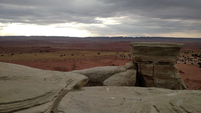
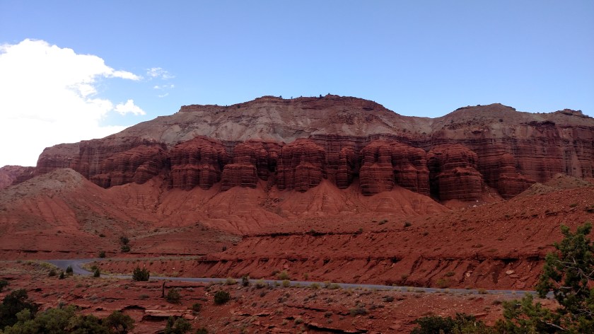
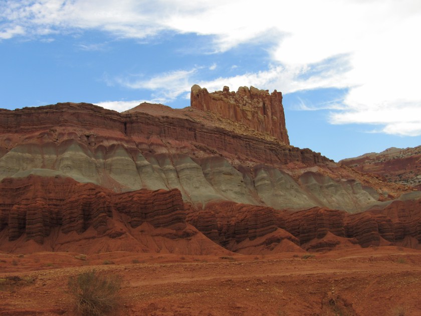
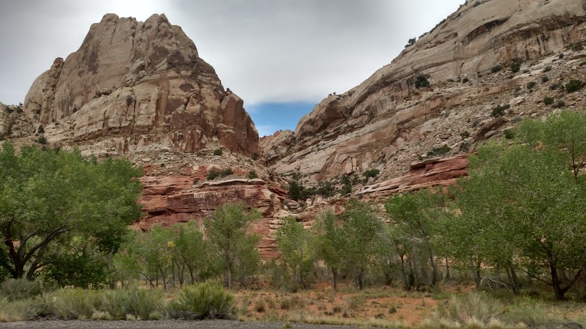
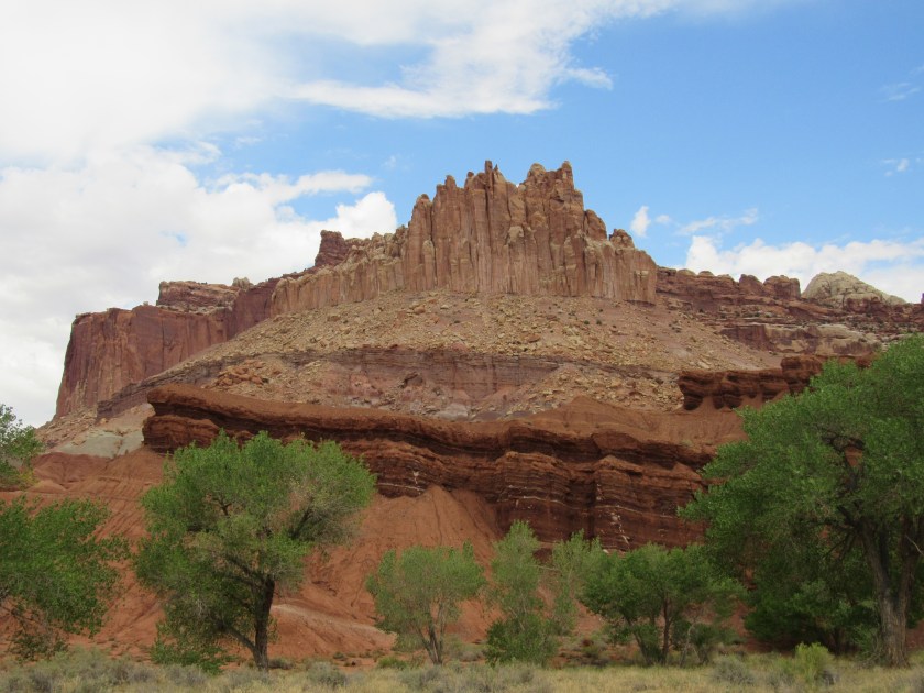
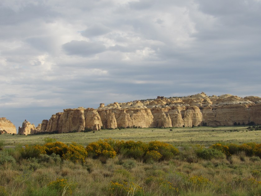
Here is the view looking back towards the direction I has come from.
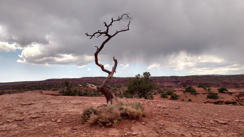
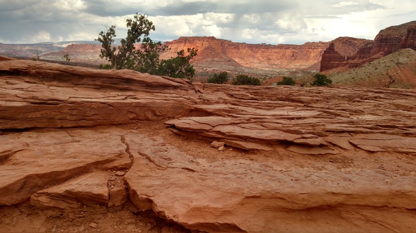
IMG_4668

Pretty cool, eh?

Tomorrow I’ll post pictures of what it looked like actually getting off the highway and into the parking area.  I’ll bet you’ve never seen anything quite like it.