Various: Blanding to the Colorado River

I originally titled this post Blanding to Joseph but there are so many good pictures I’m splitting it into two groups.  I’ll post the others tomorrow.

These were some of the things I saw while driving from Colorado to Utah yesterday.

IMG_20170829_145203034_HDR

IMG_20170829_145947889

IMG_20170829_145448352

IMG_20170829_145716265

IMG_20170829_145724332

IMG_4319

IMG_4327

IMG_4331

IMG_4334

IMG_4351

IMG_4370

This bridge took me over the Colorado River.

IMG_4378

IMG_20170829_165143892

IMG_20170829_165216662

IMG_20170829_165249683

IMG_20170829_165352526

I’ll post more pictures from the river to where I’m currently staying in Joseph, Utah tomorrow night.

Oh Deer!

A cautionary tale…

As I drove east-to-west towards Joseph, Utah yesterday evening I traversed a 20 mile or so stretch of road where there were numerous signs warning about deer and elk crossing the road.  Even though it was dusk, I didn’t see any.  This driver wasn’t so lucky.

Cause:

IMG_20170830_103331237

Effect:

IMG_20170830_103228641

IMG_20170830_103240360

This car wasn’t here when I drove through last night (although the deer was apparently lurking nearby).  I stopped to make sure it hadn’t just happened.  There was no one in the vehicle, and only the driver’s side airbag had deployed.  The deer was about 50 yards back from the direction of travel.  I left a note saying I hoped the driver was OK and was on my way.  I saw two more dead deer, both still in the middle of my travel lane, within two miles of where this had happened.

********

Since we’re in cautionary tale mode, let’s talk again about hydration.

The first rule of hydration is, you don’t talk about hydration.  No…. wait…. that’s Fight Club.  The first rule of hydration is, I don’t care if you talk about it, just do it.  This is the High Desert.  That means it’s a double whammy.  High (meaning altitude) and Desert (meaning dry and hot).  I don’t think I was anywhere today where I was below 5,280 feet  (1 mile) of elevation.  You can’t drink too much water.  And you must stay ahead of it.  If your throat gets parched or if you show signs of dehydration, you may be in trouble.

I carry twelve bottles of water in my cooler, and since arriving in Utah I don’t even wait until they are all empty before refilling them, I do it when only half of them are empty.  I also carry several big bottles of water at all times (hence the trip to Dollar Tree).

Yesterday I stopped where a vehicle full of young people had pulled off the road with their hood up.  Their car had overheated and they had already used what little water they had with them.  I gave them two of my big bottles.  I had also come across a guy in a Jeep which was overheated back when I was in Washington state and he had used up all of his.  When you travel in this environment you have to be prepared.

Going back to Capitol Reef

I had driven east-to-west through Capitol Reef National Park on my way to Joseph yesterday.  By the time I reached the Park I had stopped taking pictures as I was on the clock to get to my Airbnb before dark (I barely made it).  I went back to the Park today, albeit for only a brief time.  These are some of the photos I took between 1000am when I left the little town of Richfield where I had made several stops (gas, Walmart, Dollar Tree and the post office), and the Park entrance, which I reached at 1230.

Shop at Howie’s for all your worm and propane needs.

IMG_20170830_111620015

IMG_20170830_112130596

IMG_20170830_112957650

IMG_20170830_114255123

IMG_4429

IMG_20170830_115053585

IMG_20170830_121227950

IMG_20170830_122228704

IMG_20170830_122418516

IMG_20170830_122940895_HDR

And keep in mind, I haven’t even reached the Park yet!


Capitol Reef National Park

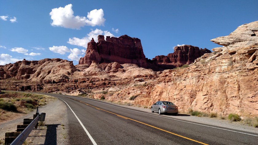
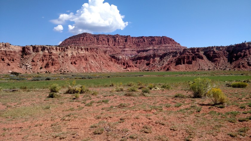
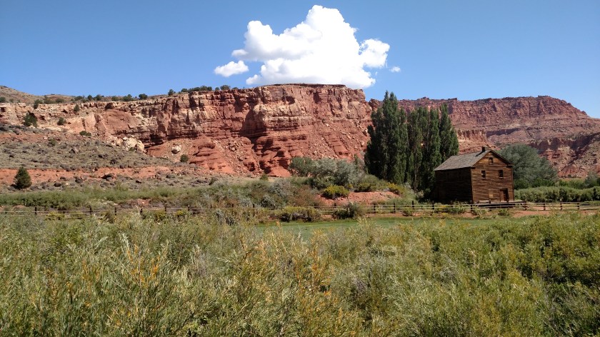
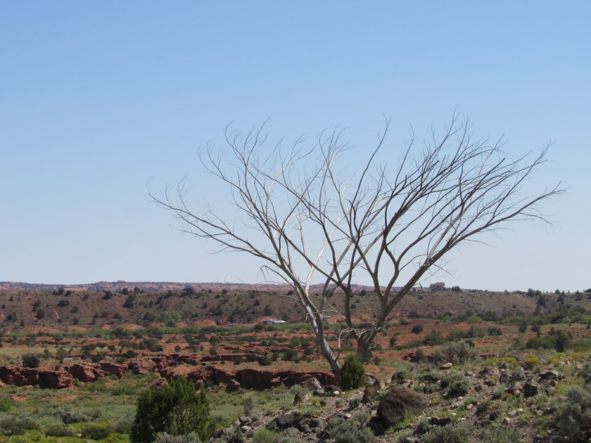
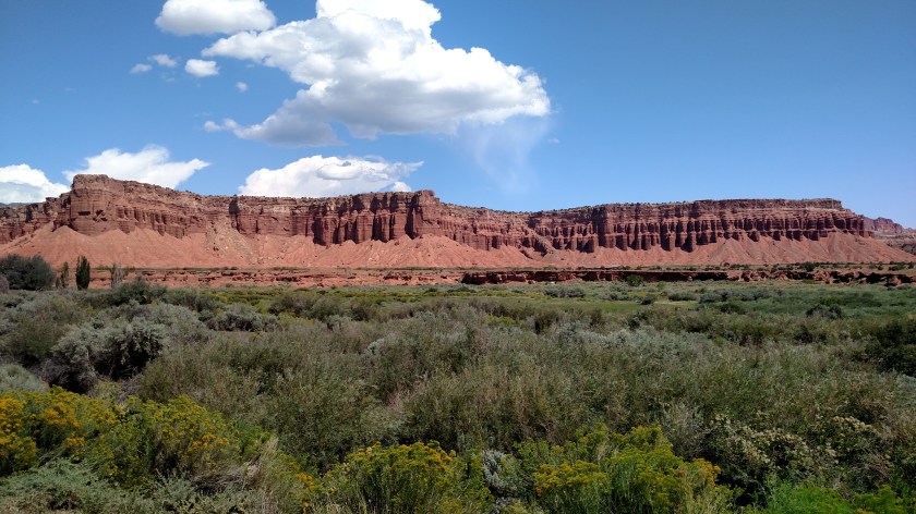
Once I reached Capitol Reef I had about 2 1/2 hours before my self-imposed “turn around” time of 300pm (to get back to Joseph before dark) to take pictures.  I took lots of photos but don’t want to overwhelm you all at one time.  I’ll post many more at a future time but here are some of the highlights.

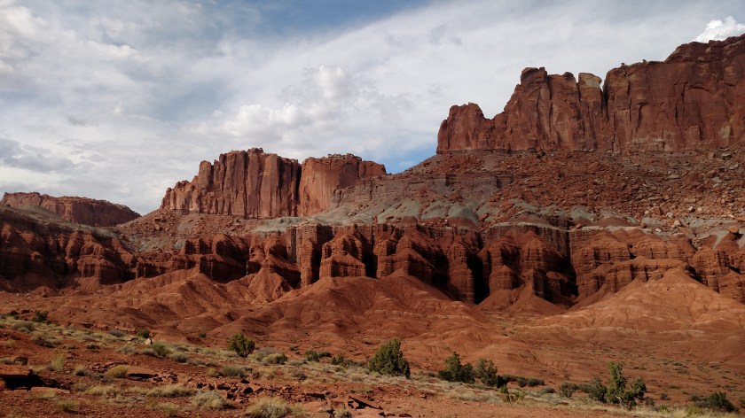
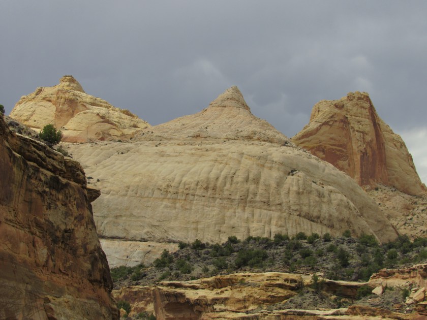
First, I’ll cut right to the chase and show you why this Park is called Capitol Reef.  This is the Capitol Dome formation which looks somewhat like the US Capitol building in Washington DC, our nations capital.

IMG_20170830_141854431

IMG_4575

IMG_4567

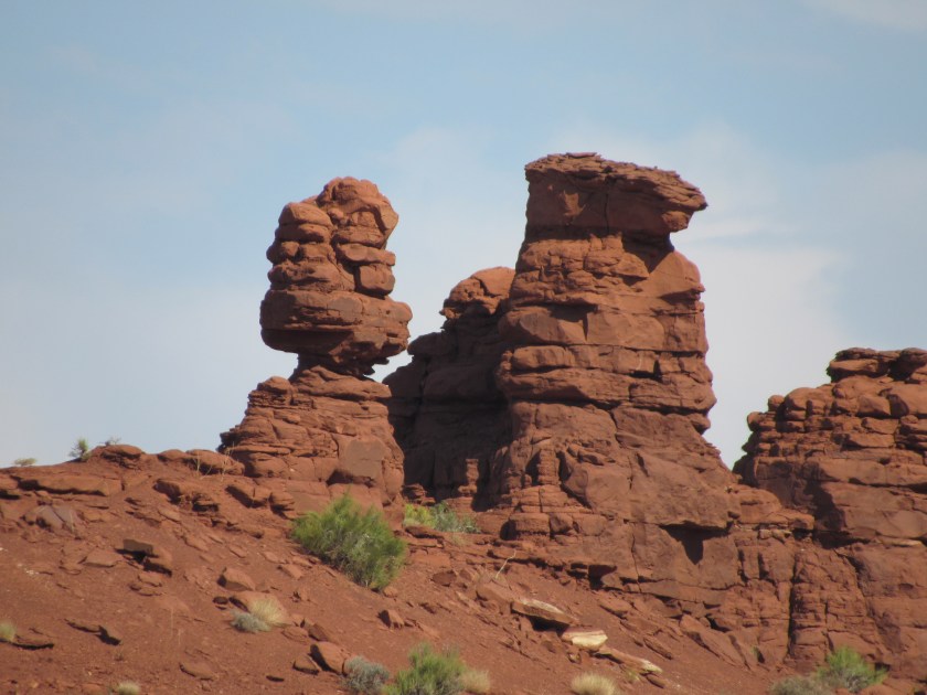
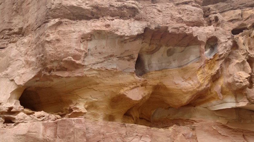
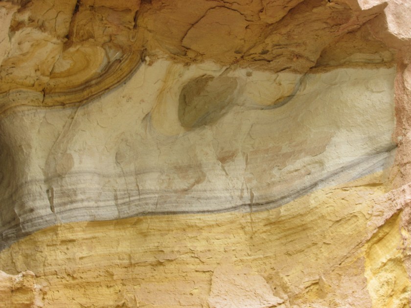
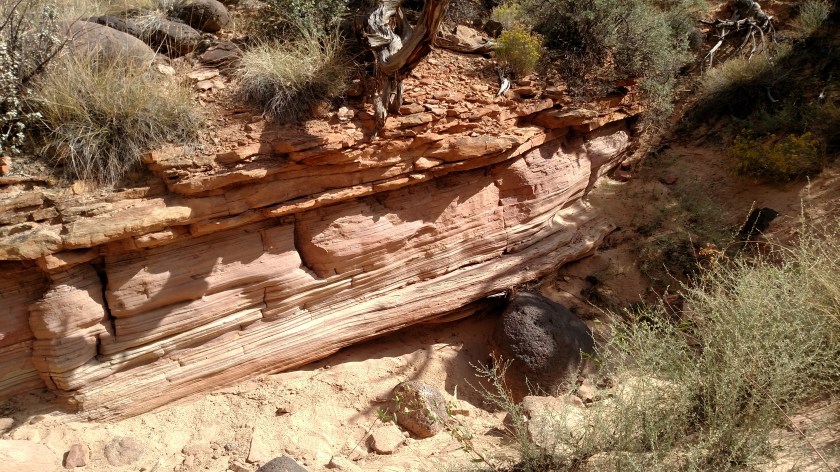
I walked around a bit from where I was parked and noticed one small area on a large rock formation next to the road which had some unusual colors.

IMG_20170830_142821176

IMG_20170830_142825890

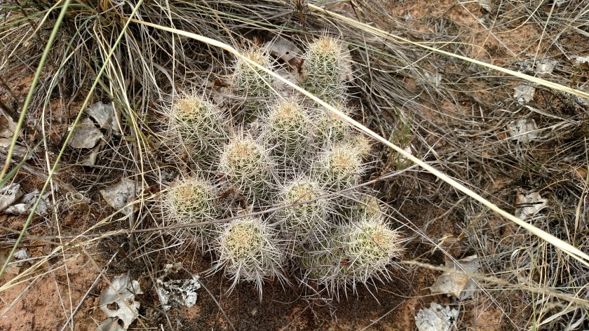
As I walked in towards it for a closer look I had to be careful not to step on this patch of cactus.

IMG_20170830_142728963

When I got in for a close inspection I decided to go to the car for my digital camera.  I went back in off the road and got these closeup shots.


IMG_4593

IMG_4594

IMG_4595

IMG_4597

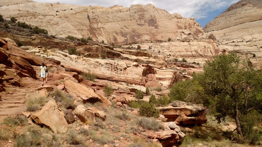
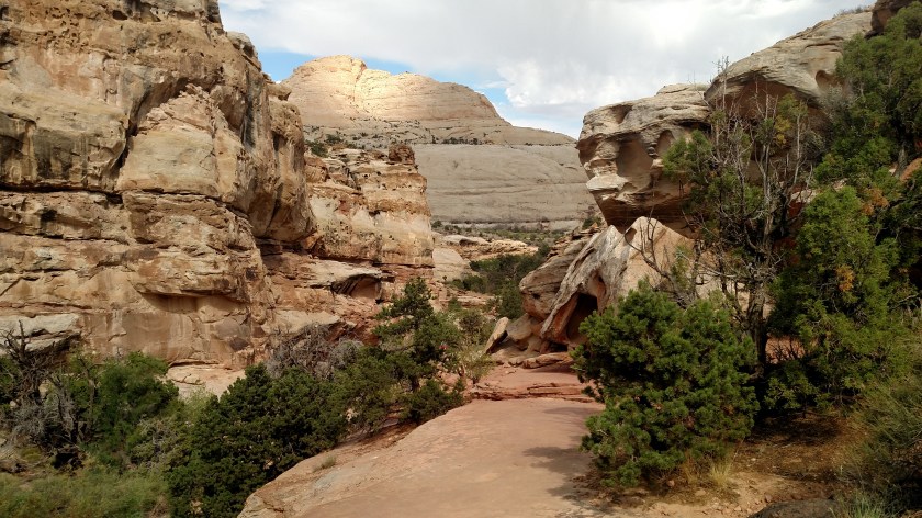
Next, I drove a short distance and parked in the lot where I could hike up to the Hickman Natural Bridge.  When I read that this was a one mile hike, mostly uphill and fairly strenuous, I was hesitant (I’m not in good shape and, especially at elevation, I don’t typically venture very far off the road). My Airbnb hostess said that it was absolutely worth the effort so up I went.  Although it is only about a mile each way, it took me an hour and a half round trip, taking frequent breaks for photo ops, resting in the shade and drinking two bottles of water I brought in with me.

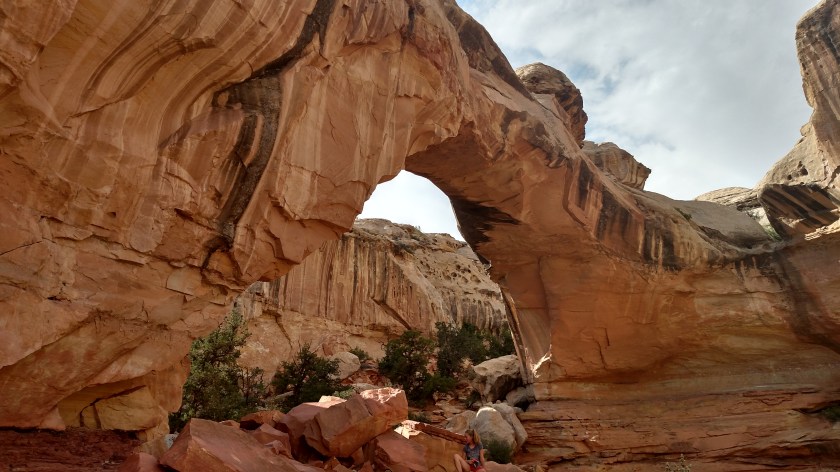
It was definitely worth it.

IMG_20170830_150253825

IMG_20170830_150501217

IMG_20170830_150653592

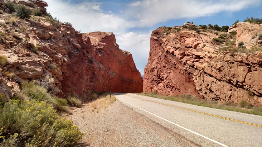
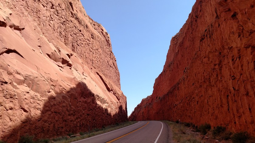
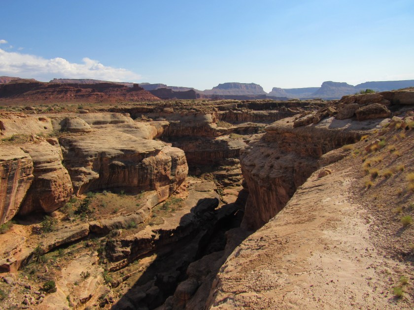
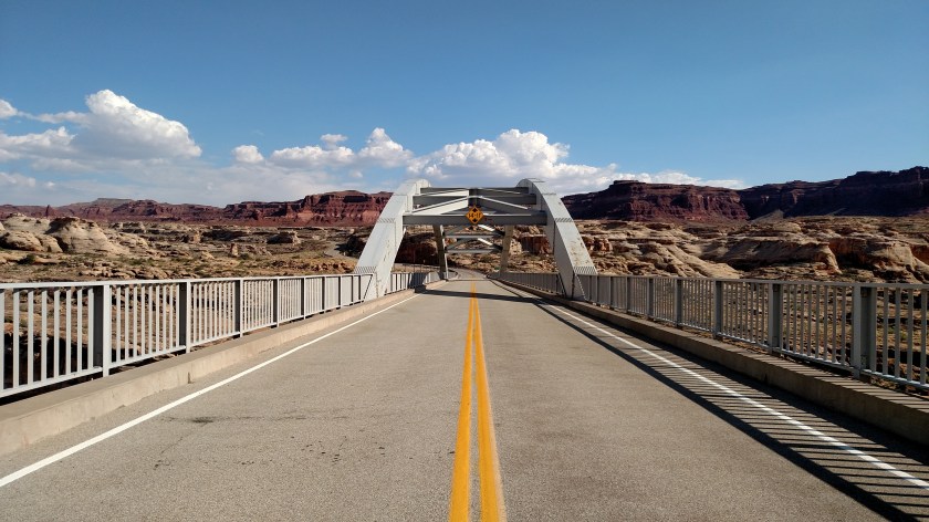
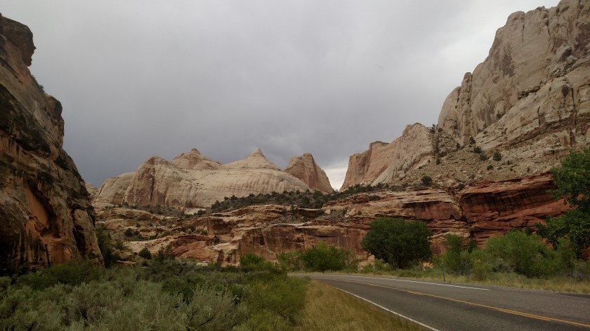
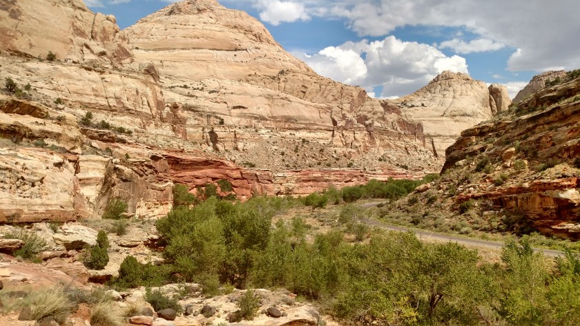
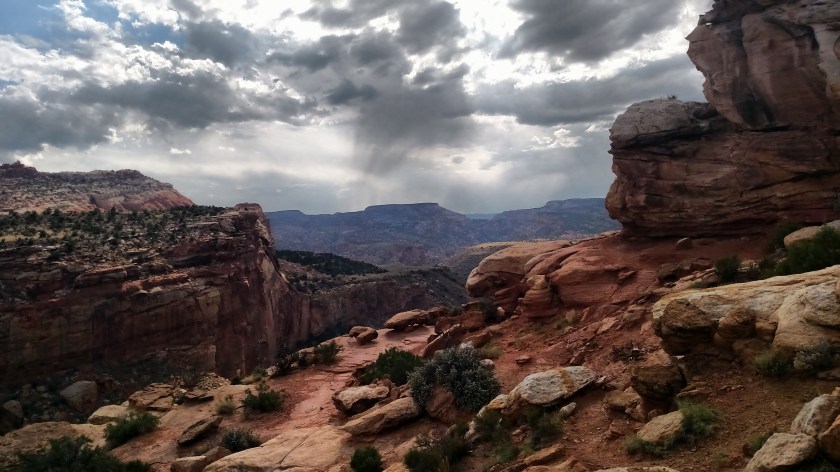
A look down at the road through the Park.

IMG_20170830_150825970_HDR

IMG_20170830_152452004

Finally, I could see it.

IMG_20170830_153816926_HDR

If you look closely at the photo below you’ll see a young lady (sitting with her family, who you can’t see).

IMG_20170830_153952850_HDR

IMG_20170830_154101987_HDR

IMG_20170830_154334465

There were two guys from Germany who had passed me on the way up sitting in the shade and I stopped and talked with them for a few minutes while I caught my breath.  The advice I gave to almost all the young people I saw walking up the trail was “Stay in shape!”.

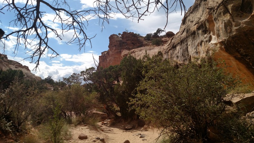
After a while I started my descent.

IMG_20170830_155550998

IMG_20170830_160007095

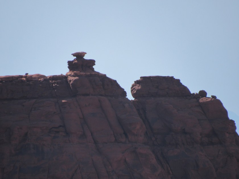
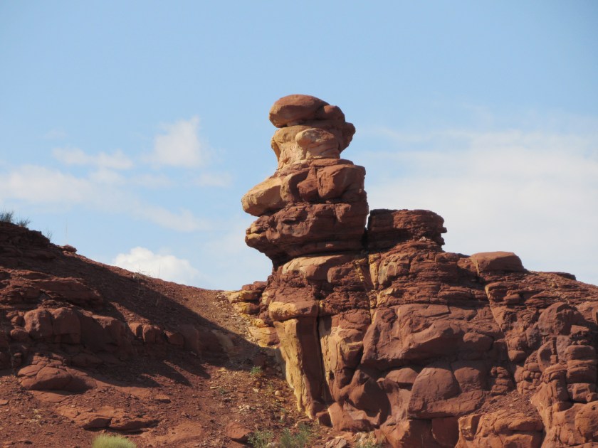
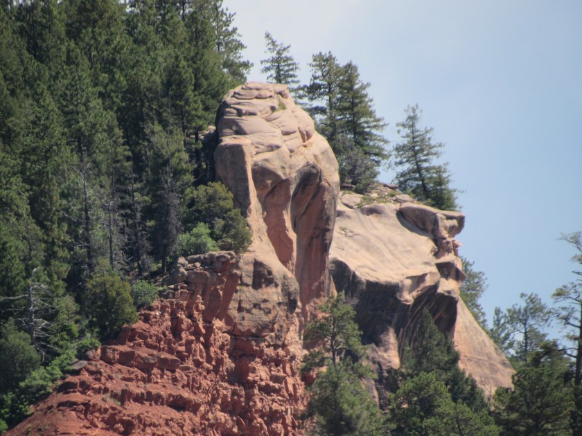
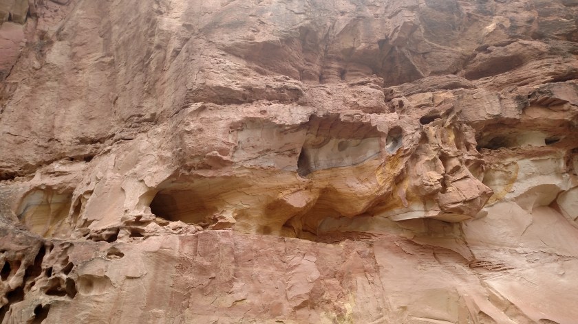
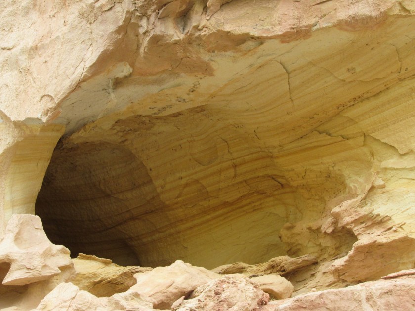
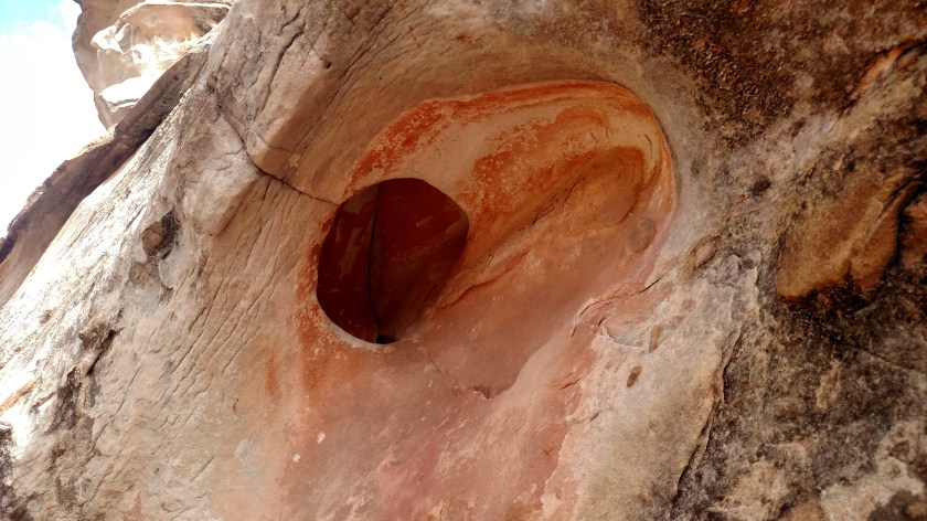
I thought the rock formation on the right of the path deserved a closer inspection.

IMG_20170830_160037990_HDR

This is a closeup of the hole at the bottom of the photo above.

IMG_20170830_160050401

IMG_20170830_160308806

IMG_20170830_160510138

And I finally made it back down to the parking area.

IMG_20170830_162715552

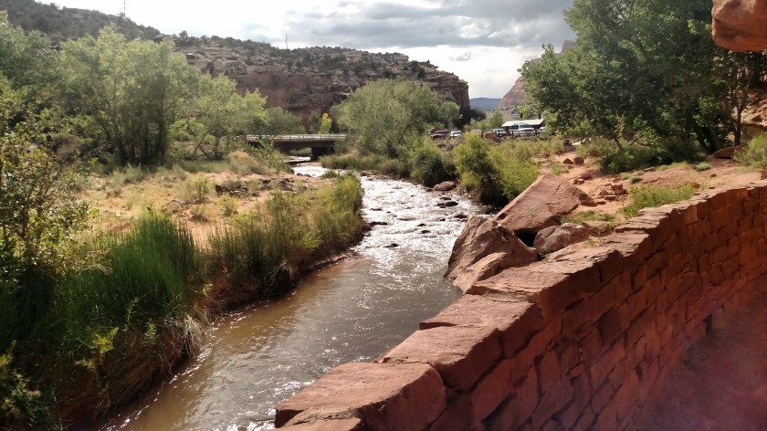
It was now 427pm, well past my 3 o’clock “turn around” time, so I hopped in the car and headed for home.  I didn’t take nearly as many pictures on the way out so I made it in plenty of time.


Going Home: CRNP to Joseph

As I was leaving Capitol Reef National Park these Rangers were lined up to wave goodbye to me.   Awwwwww, how thoughtful….

IMG_20170830_163418473_HDR

Actually, they were waving goodbye to a Ranger who retired today after 30 years on the job.

Here are some final shots as I drove west and back to Joseph.

IMG_20170830_163808954

IMG_20170830_165603479_HDR

This was just before I descended down into the valley leading to the interstate.

IMG_20170830_182847056

How am I doing?

No photo.

Tonight officially marks 8 weeks on the road.  20,708 miles and counting.

This means it has also been 8 weeks since starting this blog.  Those of you who have been part of it since the beginning know that I have starting making MANY more posts each night than I did when I started, as well as including many more photos per post (I’ve had to pay to upgrade the site twice, to allow for more storage space).

What do you think?  Too many posts?  Too many pictures per post?  Too much commentary?  Too many repetitive pictures (mountains, animals, etc)?  Too much showing off with the zoom lens?

I’m not just fishing for compliments, although many of you have said nice things (which I do appreciate).  Please spill your guts and tell me your thoughts.  I want the bad as well as the good.

You may comment publicly (which everyone will see) if you click “Comments” to the left of this, or any current post (I believe comments are open for 14 days).  If you’d prefer to keep your comments between you and me, click “Contact” at the upper right corner of the welcome screen when you first open the blog.

On many computers you can make the pictures I post full-screen by left-clicking on them, and you can save any of the pictures I post to your own computer by right-clicking on them.  You can copy that file to a flash drive and have actual photos printed (in the size of your choice) at any Target, Walmart or Walgreens near you.

If you are tired of getting multiple e-mails in the middle of the night as I post, you may remove your name from the followers list and just review the site online at your convenience.  Recent posts always appear first, so just scroll down until you see something you’ve already looked at.

Looking at my list of followers, I only know about half of them.  I’m trying to spread the word and share the blog with more and more people.  Please help me make and keep this an enjoyable venture.

THANK YOU!

Various: Monticello to Joseph

Shortly after leaving Monticello I came to the Recapture Reservoir.  (It just occurred to me that I entered today’s posts backwards.  Sorry about that.  Once you read the next few posts this will make sense.)

IMG_20170829_132902583_HDR

The guy in the orange and yellow Safety Sam outfit works for the highway department.  Hey buddy, the highway’s up here…..

Maybe he had to take care of some “business”….

IMG_20170829_133350136

Further south, I came to the little town of Blanding, Utah.  I stopped in the visitor center to pick up some maps and brochures (in addition to the ones Wanda had given me).  I had a nice conversation with the gentleman working there who asked me to be sure and mention that Blanding is right next to Bears Ears National Monument, the newest US Park Service facility established by President Obama.  I’ll be seeing many parts of this new area later this week.

While in the Visitor Center I saw these colorful quilts, hanging from the upstairs balcony.

IMG_20170829_134906334

IMG_20170829_134917440

IMG_20170829_134929547

IMG_20170829_134942394

At Blanding I turned right and started heading west towards Joseph.  I came to a one-lane construction zone, which has been an almost daily occurrence during this trip.  While in line waiting my turn to proceed I asked the young lady controlling the Stop/Slow paddle if it was OK to take her picture for the blog.

IMG_20170829_142542021

About a mile past the end of this construction zone was another one, this time controlled by an automated sentry.  I was going to get out of the car and try to obtain consent for a photo but got the green light and took that as a yes.

IMG_20170829_143517308


Monticello, Utah

Today I drove from where I had been staying in Durango, Colorado over to Joseph, Utah, where I’ll be spending the next 5 nights.  Originally I had planned to get to Joseph via Arches National Park but I decided en route that I’d be smarter to head directly towards Joseph rather than venturing further north.  This will give me more time to actually be in the Park once I get there.  So when I reached the town of Monticello, Utah shortly after getting in to the state, I turned left rather than right.

As I was driving towards town I saw 24 wind turbines lazily spinning in the distance.  Once I got to town I positioned myself to get a video of some of them which had been spinning in sync (I’m still working on converting my .mp4 videos to a format which WordPress will allow me to post on the blog).  While driving around to find the right spot I saw this house with some very nice flower beds out front.

IMG_20170829_113854005

IMG_20170829_113908297_HDR

Just up the street was this LDS Temple.  I’m in Utah now, and this is Mormon country.  You’ll probably be seeing more LDS (Latter Day Saints) temples when I head upstate towards Salt Lake City early next week.

IMG_20170829_114226776

Once I got back to the main road I saw a building housing this huge tractor.

IMG_20170829_114848747_HDR

This is the “Big 4” tractor and it is huge.

IMG_20170829_114912102

The green motor is located between the rear wheels.

IMG_20170829_114930362

IMG_20170829_115027810

IMG_20170829_115015377

And to illustrate just how tall this tractor is, I took this photo with the camera lens at the same height as my eye level (and I’m 5′ 11″ tall).

IMG_20170829_115007672

After viewing the tractor I went next door to the Southeast Utah Welcome Center, which is where I met Kayla and Wanda.

IMG_20170829_131112658

I spent quite a while talking with them about my trip.  They both gave me excellent suggestions of additional things to do while in the area, and they convinced me that this is yet another place where I’ll need to spend more time in the future. And I’ll need to bring my golf clubs as there is a really nice golf course not far away.

As I was leaving town I passed this Catholic Church.  In all my travels around the country, houses of worship are often the most beautiful buildings I see.

IMG_20170829_130805641

What can brown do for you?

Borrowing the former tagline from UPS commercials for this post, I spotted this formation up the road from where I had taken photos of some young folks getting ready to kayak on the Dolores River the other day.  And as I positioned myself to get photos of it from various angles I saw some other interesting formations, as well as a glimpse of the river itself.

IMG_4027

IMG_4031

IMG_4029

IMG_4023

IMG_4049

IMG_4036

IMG_4051

IMG_20170827_120919144_HDR

Get ready to see a lot more brown in the coming days, folks.  I’m in Utah now, and much of what you’ll be seeing will be various shades of brown rock.  Believe me, I don’t think you’ll get tired of it.

Various: Durango to Cortez

I’ve started this post twice and FINALLY get to finish it!  I added to it today on my way west out of Colorado towards Utah.

Shortly after leaving Durango to drive west to Mesa Verde National Park I noticed this on the side of a mountain to my left.  To me it looks like a man’s profile looking out to the right.

IMG_3994

I just thought it looked cool.  When I lived in Pennsylvania there was a large rock formation on the New Jersey side of the Delaware River where Interstate 80 crossed the river from Pennsylvania.  It is called Indian Head Mountain.  It is considerably larger and more detailed, but is probably what made me spot this curious formation.

********

Right before getting to Mesa Verde I saw this site just off my side of the road.  At first I thought it was some kind of weird tourist trap.

IMG_4006

It is actually an abandoned gas station, one of probably thousands across the United States.  Obviously the environmentally-conscious Coloradans aren’t too happy about it.

IMG_20170827_092653238

IMG_20170827_092712964

IMG_4003

IMG_4004

IMG_20170827_092722731

********

This range of mountains was off to my left (south) as I approached Cortez.

IMG_20170827_095208785

IMG_4011

********

As I was getting in to Cortez I stopped this overlook.

NOW THEY TELL ME

IMG_20170828_104528989

The local tourism bureau’s tagline is a lesson I have been learning over the past few days.  I need to spend more time here, so I’ll be coming back in a few weeks.

The overlook actually provides a view of the McElmo Creek Flume No. 6.  It is the last remaining flume of 104 which used to be found in this area (primarily in Montezuma County).  Flumes were built to carry water away from the Dolores River to irrigate fields of crops.  This area is in the High Desert and only gets around 11 inches of rain per year (and much of that is from snow) so the Native American Indians and other locals determined that they had to make use of the river water which flowed through here from upstate.

IMG_20170828_104955944_HDR

IMG_20170829_091749620