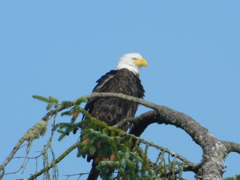
Saturday as I drove out to Cape Flattery on this nice scenic road I saw this bald eagle perched at the top of a tree overlooking the Strait.
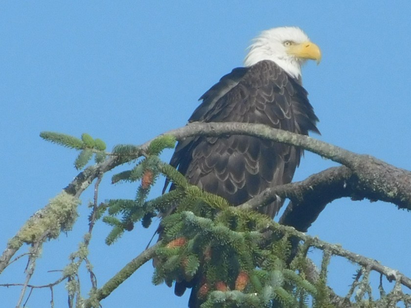

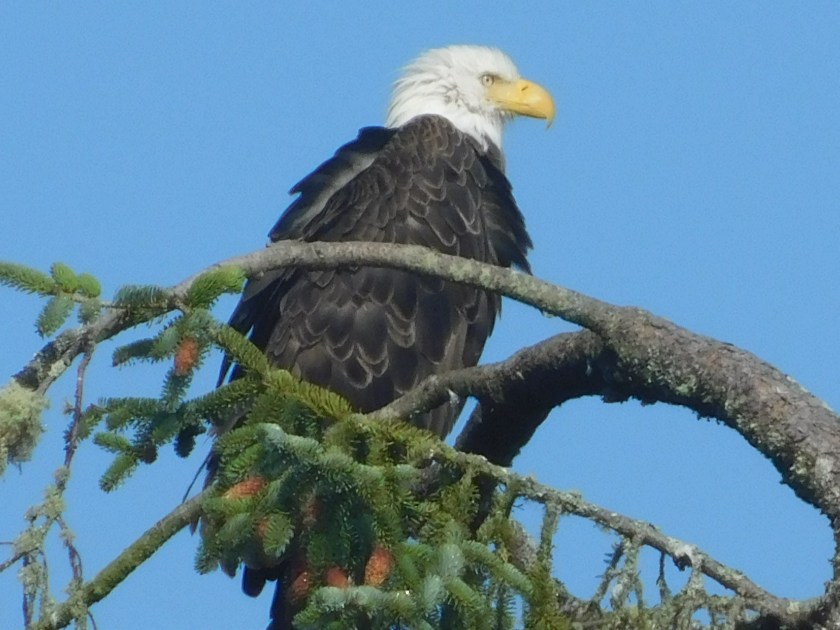
Saturday as I drove out to Cape Flattery on this nice scenic road I saw this bald eagle perched at the top of a tree overlooking the Strait.
Saturday I took a nice scenic drive west of Port Angeles out to Cape Flattery. Highway 112, also known as the Strait of Juan de Fuca Scenic Byway, runs mostly along the shore of that large body of water which separates Washington state from Canada. There were a few small villages and a fishing harbor and towards the end of the road I entered the Makah Indian Reservation. I stopped at their museum, which was very interesting but they didn’t allow photography, and I had to buy a $10 Recreational Permit in order to take the 3/4 mile trail out to Cape Flattery.
Here are some of the things I saw towards the end of that trail:
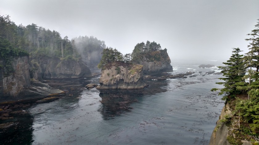
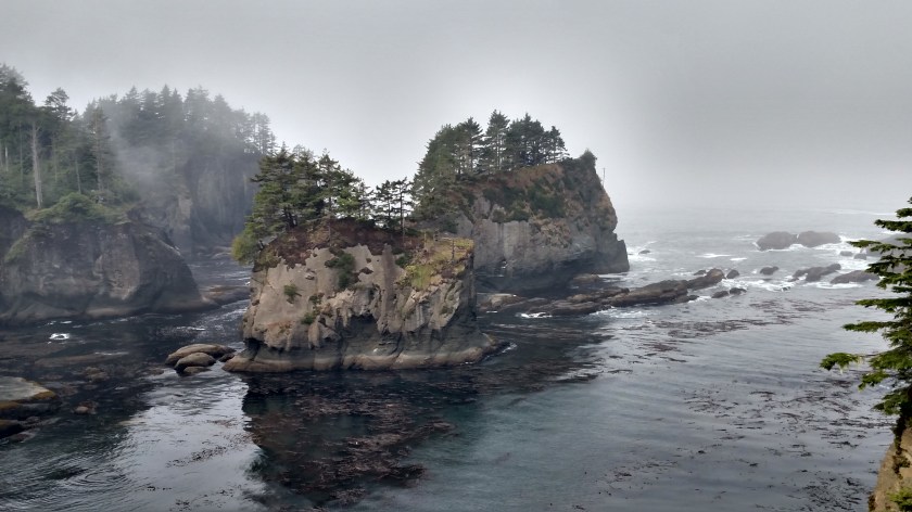


There are several things which bring people out to Cape Flattery. Here is one of them:

You are looking at the furthest northwest point in the contiguous United States. Here is a shot with a person in it:
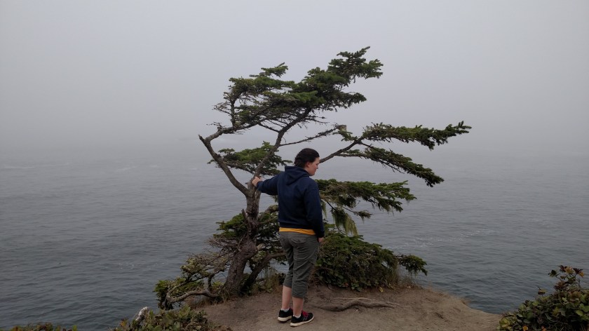
Here is a shot looking down through the tree at the ocean:

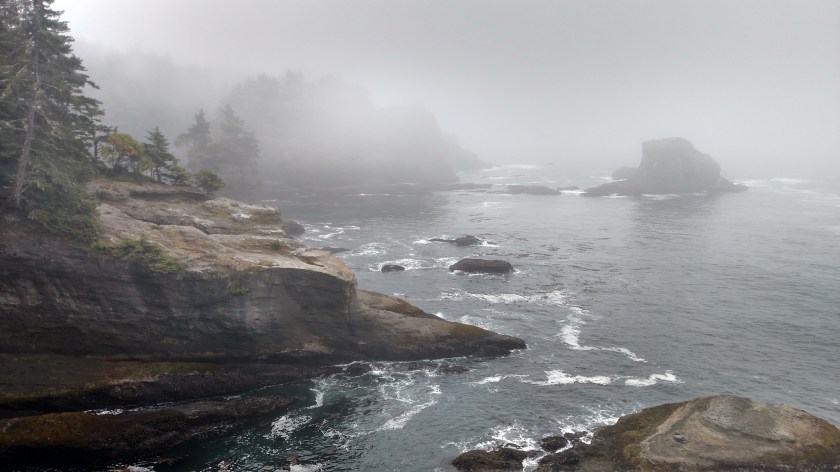
And off to the left:
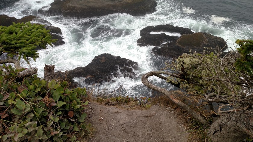
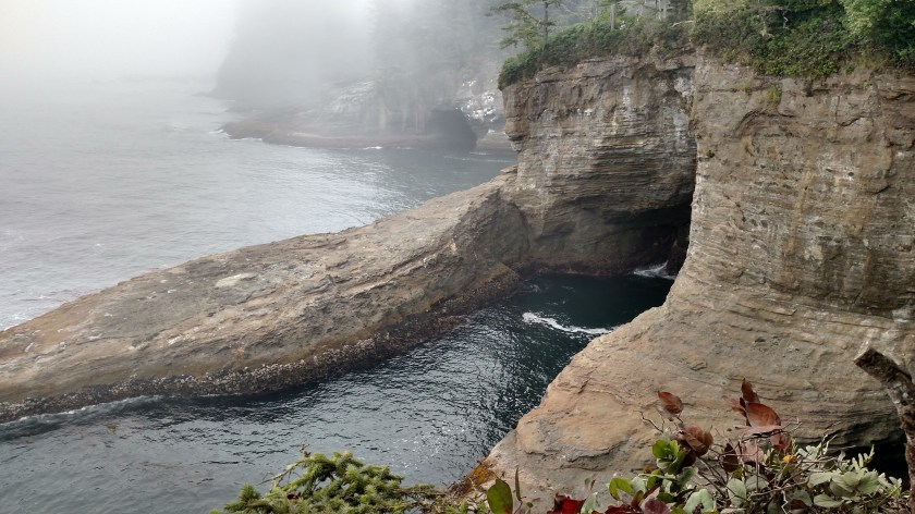
And off to the right:

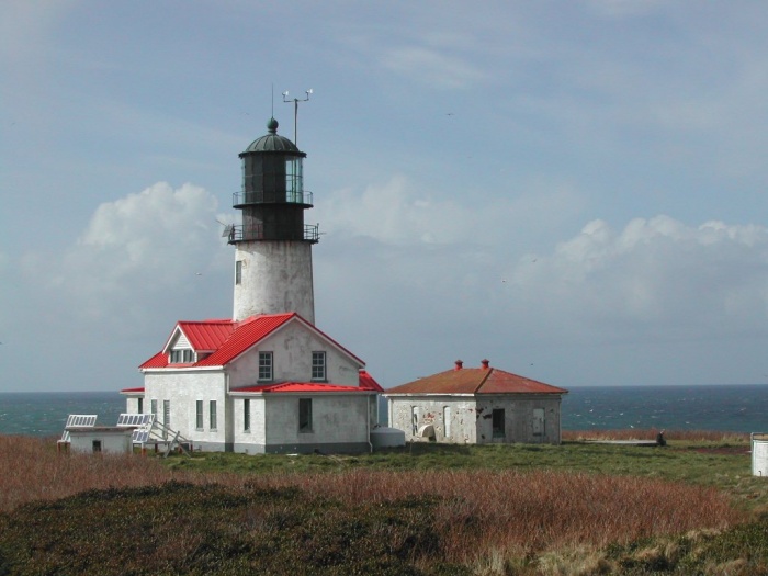
Another thing that brings people out to Cape Flattery is the incredible view of the lighthouse, which sits on Tatoosh Island, just a half mile offshore:

As you may have guessed from the other photos in this post, it was a tad foggy. While I could see and hear waves crashing up against something I couldn’t see the island and certainly couldn’t see the lighthouse. I waited about an hour and a half and if anything, the visibility got worse. It’s a shame because here is what I would have seen on a clear day:

(Photo credit: 123rf.com)

(Photo credit: MichaelNW-Lens flickr.com)
(Photo credit and copyright: welcomia photolib.noaa.gov)
The lighthouse was built in 1854 and is 65 feet tall. It is no longer in use.
Saturday, as I returned to Port Angeles from my trek out to Cape Flattery, I passed through this section of Highway 101 again. There is a long stretch of the highway which is sandwiched between the north perimeter of Olympic National Park and the southern shore of Lake Crescent, a huge, deep lake west of Port Angeles. I didn’t stop to take any pictures on Friday because smoke from various wildfires had reduced the visibility of the far off mountains but the scene was much better on Saturday so I made a few stops.
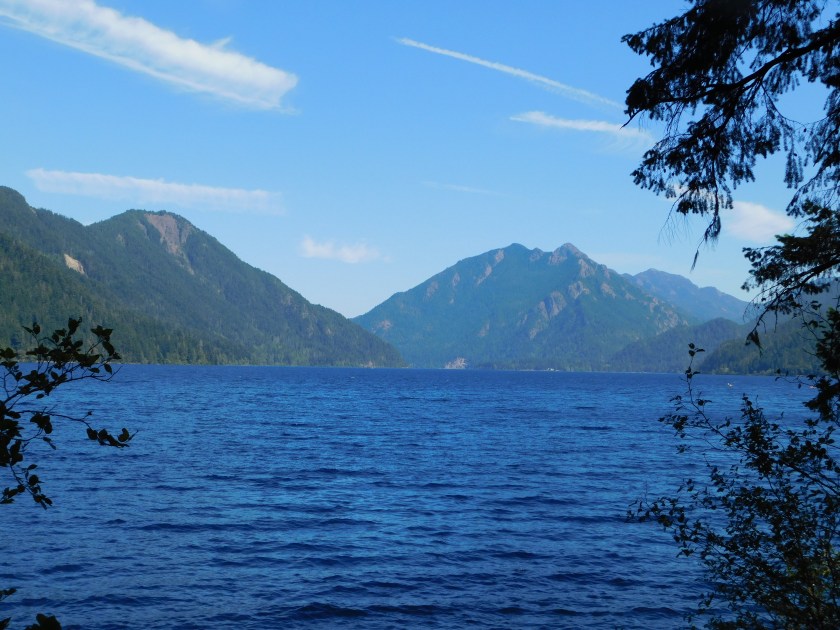

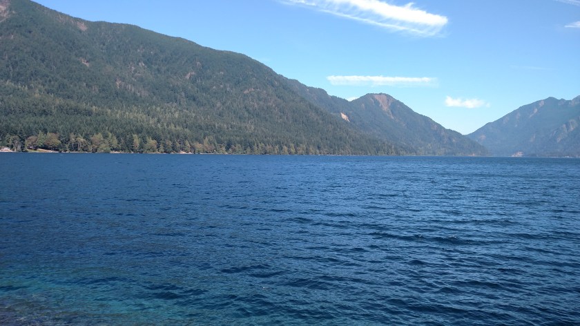
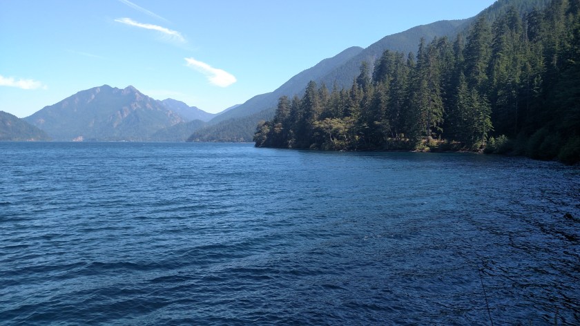
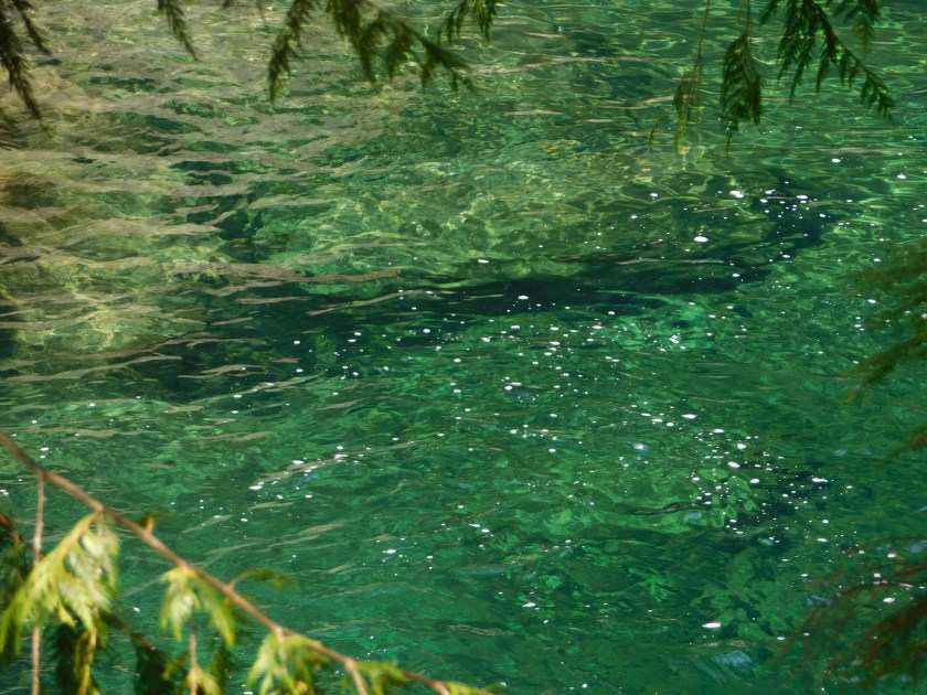
And like the Sol Duc River which I had seen up close on Friday, the water in this lake is incredibly clear:
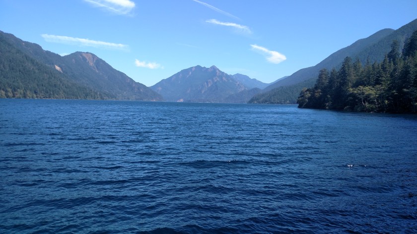
The lake is so big it is impossible to capture it all in one shot from this close. Here is a two-shot panorama, looking left to right:
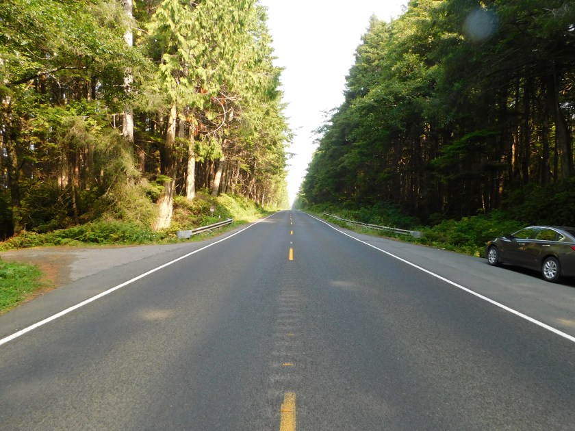
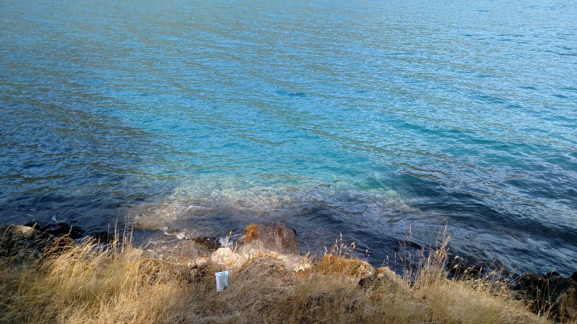
Would it surprise you if I told you that the photo above was taken just a few hundred feet from the Pacific Ocean? Let me turn 90 degrees to the left of where I took that shot to show you proof:

Hard to see a sunlit area in the distance when looking at it from a shaded area so let me zoom in on the right side of the wooden fence and the tall metal sign pole next to it:
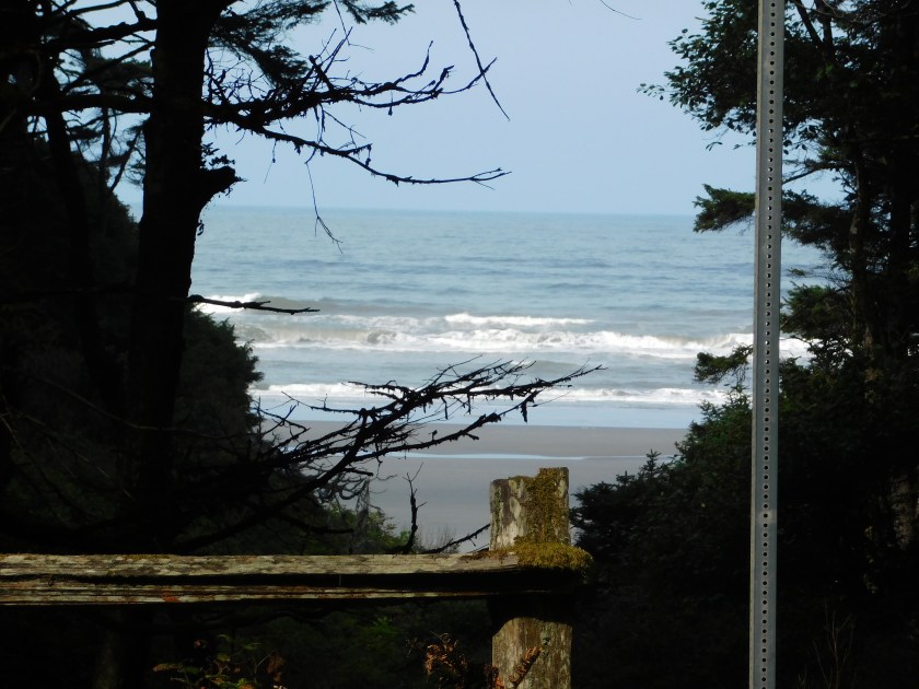
And there it is! As I drove north on Highway 101 Friday there was about a 12-mile section of the road which runs parallel and almost directly adjacent to the beach, although it most places you can’t see it unless you look through the breaks in the trees. Unlike in California and Oregon, where 101 is usually very close to the ocean, the majority of Highway 101 on Washington state runs well inland.
And before I turned inland at Ruby Beach I spotted this off the coast:
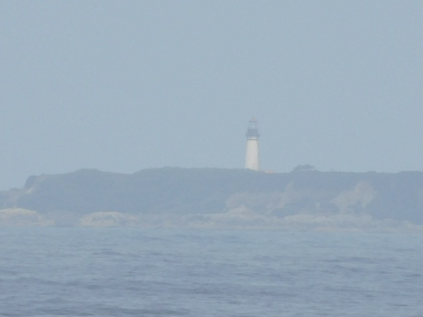
That is the lighthouse out on Destruction Island, which is about 3 1/2 miles offshore. Here are some pictures I found online:
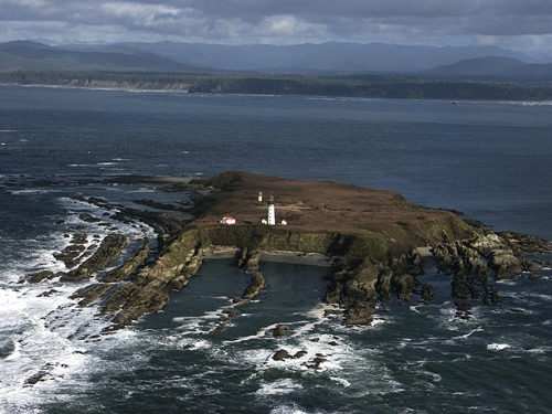
(Photo credit: gwlocphoto George White Location Photography)
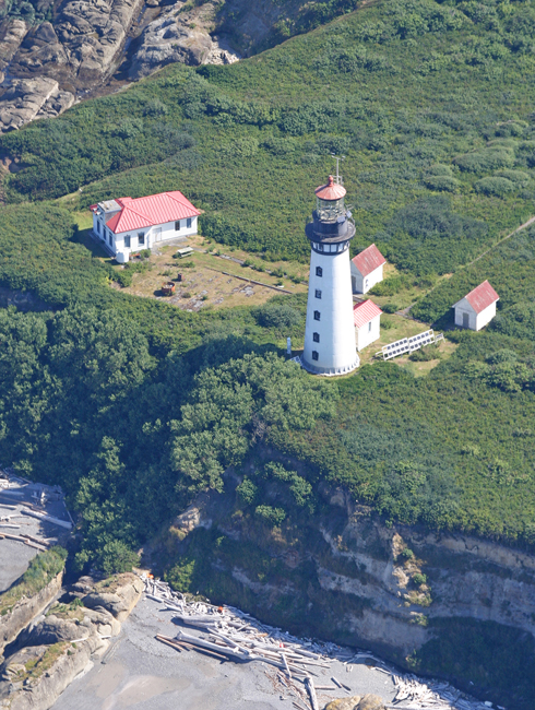
(Photo credit: http://www.noaa.gov)
The lighthouse sits on a roughly 30 acre island. It was first lit in 1892 and is 94 feet tall. It’s use was discontinued in 2008 and it, and the island it sits on, are not open to the public.
Friday as I traveled north on Highway 101 I stopped in the little town of Forks, which is located inland. I also took Highway 110, just north of Forks, about 15 miles to the even smaller town of La Push, located out on the coast.
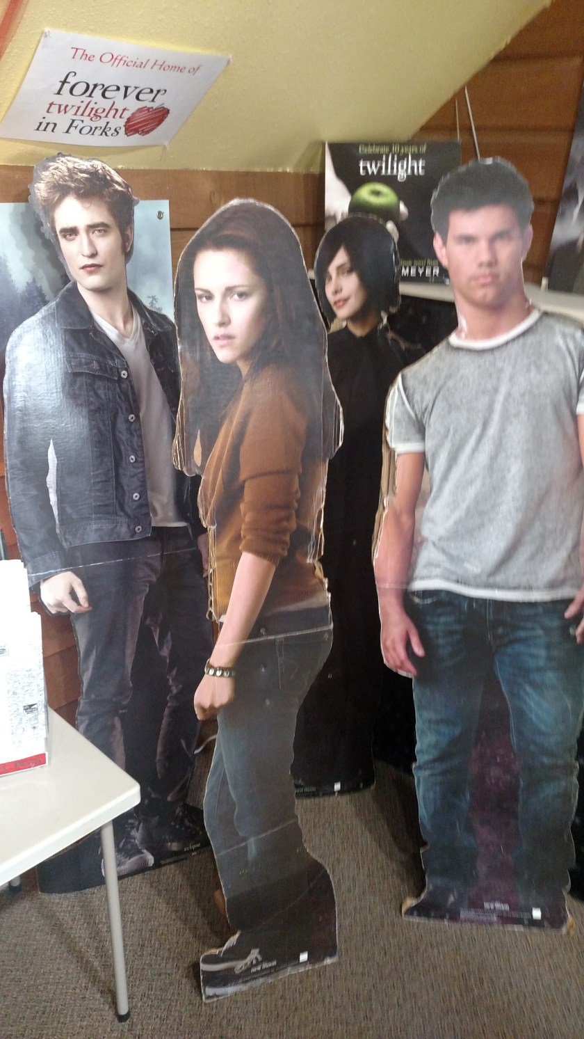
I didn’t know about this until I saw a brochure earlier in the trip but Forks and La Push were the actual towns where the Twilight books and movies were set. For those of you who may not be familiar with Twilight, it was a series of movies (based on the books) which told the love story of a high school romance which developed between Bella, the damsel seeking affection, and Edward and Jacob who were competing for her hand in marriage. Oh, and to keep the story interesting for a few followup books and movie sequels, Edward was a vampire and Jacob was a werewolf. No need to issue a spoiler alert, the first movie came out ten years ago and you either know about this or you don’t.
Evidently teenage girls have traveled here from all over the world, as evidenced by the “pin maps” on the wall of the Forks Visitor Center:

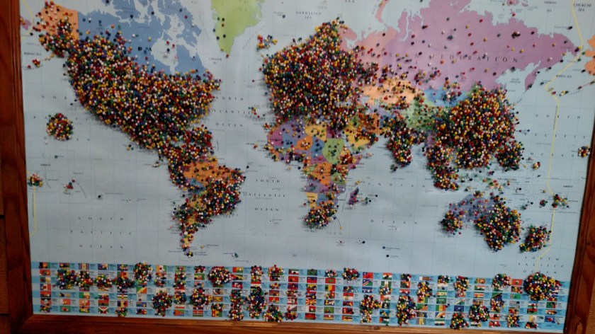
Never in my life have I seen one of these maps with so many pins in them! I tried to get a shot showing that in some places they were 2 or 3 deep but I couldn’t get the right effect. I didn’t put a pin in because: a) there wasn’t room, and b) I thought if I did it might be the straw that broke the camel’s back and the map would tumble to the floor and there’d be pins EVERYWHERE.
Well, before you drop everything to make your pilgrimage to Forks and La Push be advised – (here’s your spoiler alert) exactly none of the scenes in the movies were filmed here. Zip, zero, nada. While footage was taken of the exterior of the town entry sign, the high school, the grocery store where Bella shopped (I bought a sandwich there, not knowing I was on hallowed ground), and the hardware store next door where Bella worked, the actual scenes “from those places” were filmed in other parts of Washington, Oregon and up in Vancouver, Canada. Even the exterior beach scene wasn’t filmed in La Push or just up the beach at Rialto Beach, but near Cannon Beach down in Oregon.
For whatever reason the author of the books set the story in these actual places. Jacob (the werewolf character) was a member of the Quileute Indian Tribe, the actual tribe on whose land La Push sits, as were members of his werewolf “pack”.
One last piece of marketing (the Visitor Center sells copies of the books, movies, magnets and these):


Friday, as I drove north and then east along Highway 101 towards Port Angeles, Washington, I went in the westernmost north entrance of the Park. This road would end at the Sol Duc Hot Springs Resort. There are two western entrance to the Park much further south which lead to the Quinault and Hoh Rain Forests respectively, but I did not go to either of them. I had been to the Hoh Rain Forest when I visited Seattle 20 years ago and had no particular desire to return there. I had driven up to Quinault Lake, and the Lodge which is on the entrance road, earlier in the week when I was staying in Hoquiam but it was an overcast day and the few pictures I took weren’t blogworthy.
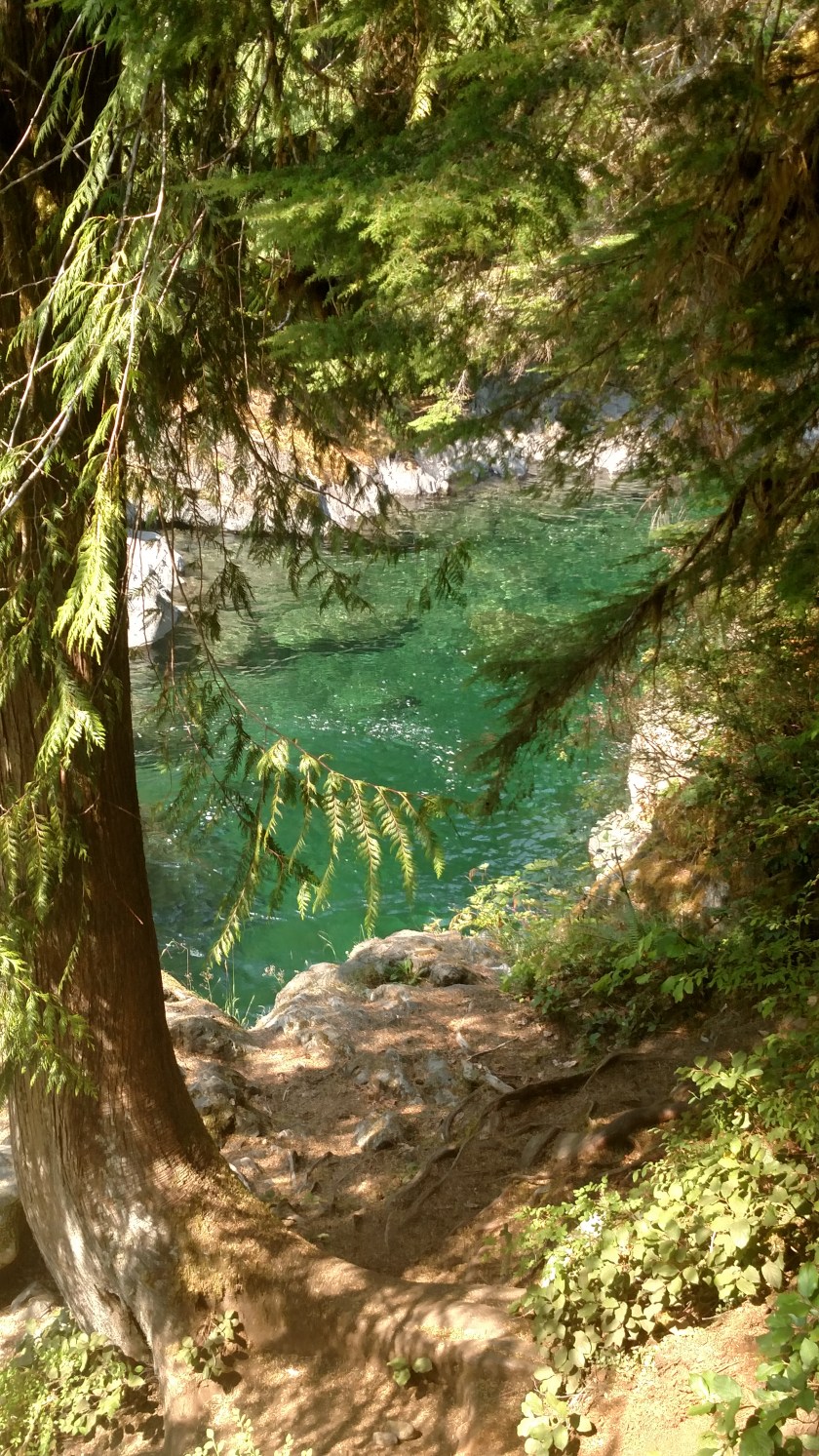
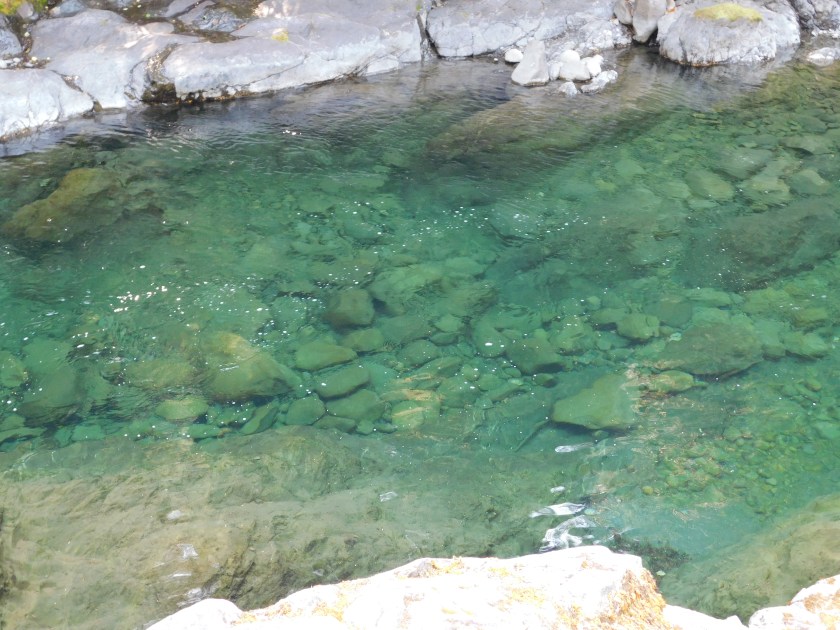
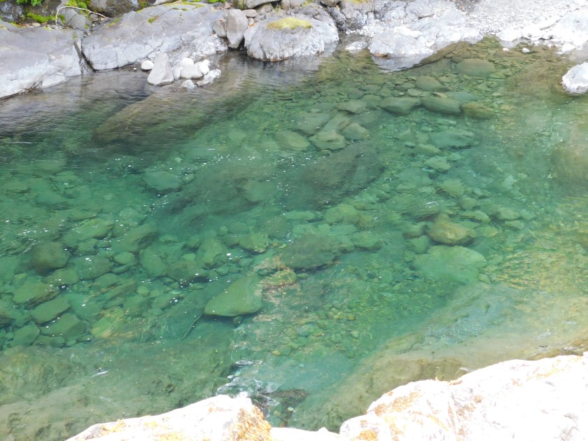
My first stop when I went in the Sol Duc entrance on Friday was at the Salmon Cascades. This is a spot along the Sol Duc River where, at the right time of year, one can watch the salmon jumping over the rock “ladders” as they swim upstream to spawn. Of course this wasn’t the right time of year so all I could see was the river and a portion of the falls, but the water was incredibly clear and it was a very pleasant place to spend some time.


Next I headed deeper into the Park to visit the Hot Springs Resort. A huge hotel and Spa first opened here in 1912 and attracted visitors from far away places.
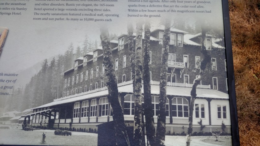
Unfortunately, much of that building burned only four years later. A much smaller resort opened in 1920 and operated until a problem developed with the water source and it was forced to close. The modern facility which exists today opened in 1980. In includes a (much smaller) main building with a restaurant and gift shop, and there are many cabins on the property which may be rented, as well as a campground.
Next I drove about two miles further to the trailhead where the road ended and walked down to see the Sol Duc waterfall, which was .8 miles away. Along the way I saw this tree base which I found interesting:

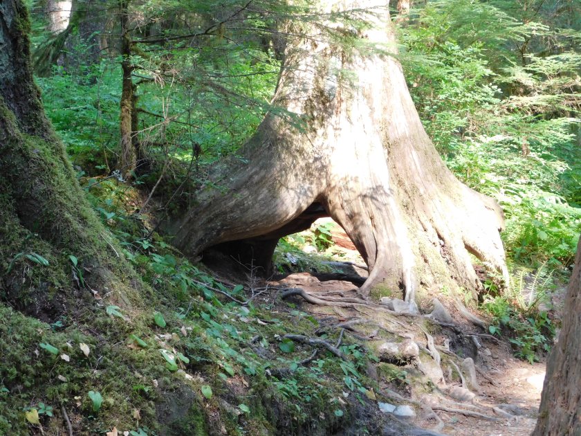
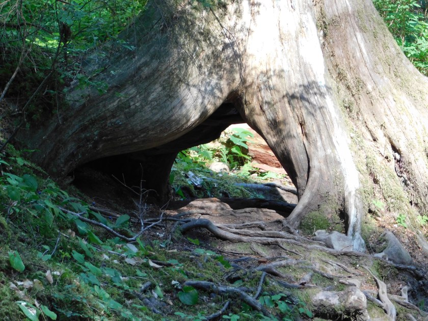
I’m not quite sure why it grew that way, but there it is.
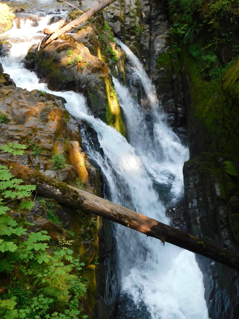
I finally made it to the falls, which were definitely worth the walk:
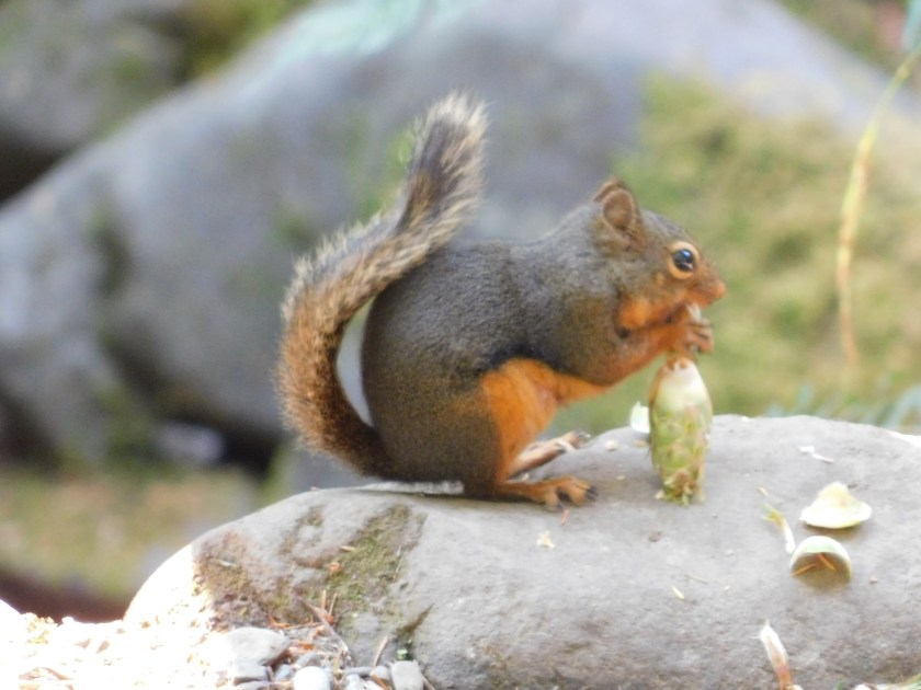
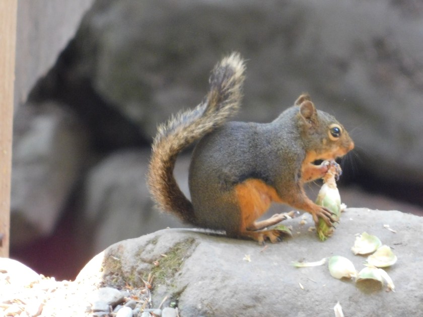
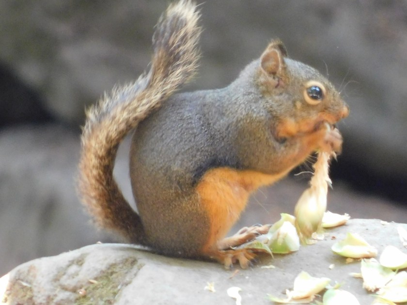
On the way back to the car I spotted a small Douglas’ Squirrel, like the one I had seen briefly in Oregon. You can see the progress it was making on what it was eating by the outer casing which was discarded on the rock it was sitting on.

I have decided this is my new favorite place in Washington. It isn’t even a town, it is a CDP – Census Designated Place.

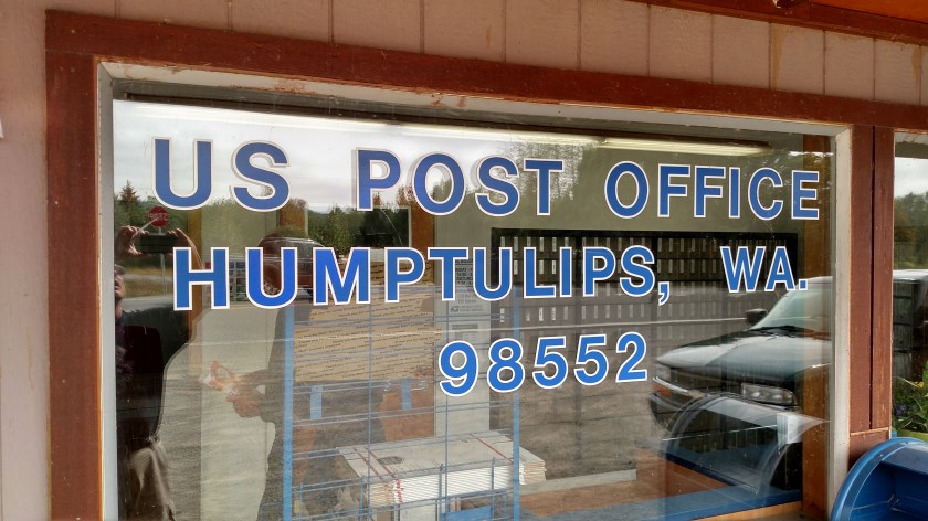
When a local man saw me taking a picture of the Post Office window he explained, and I later confirmed, that Humptulips is derived from an Indian phrase meaning “hard to pole”. What that means is that in the Humptulips River, in some places narrow and clogged with tree limbs and other debris, it may be impossible to propel a boat with conventional oars and even using a pole to move the boat forward by pushing against the river floor may be hard.

Sorry, Twisp. You had a good run for the past year….
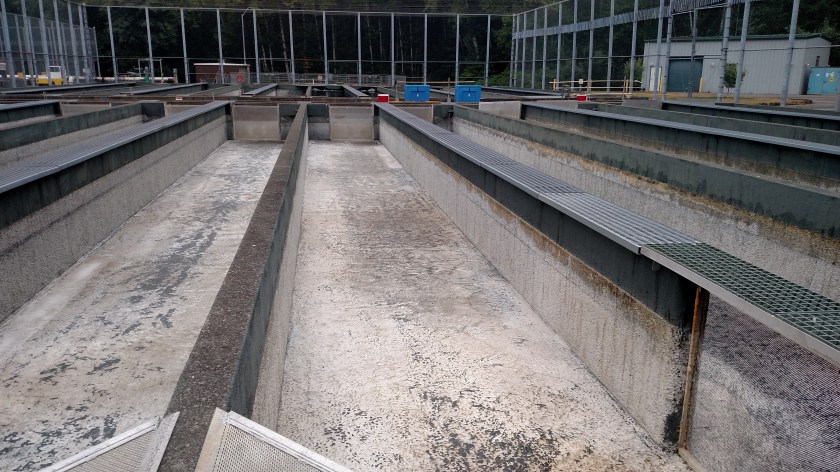
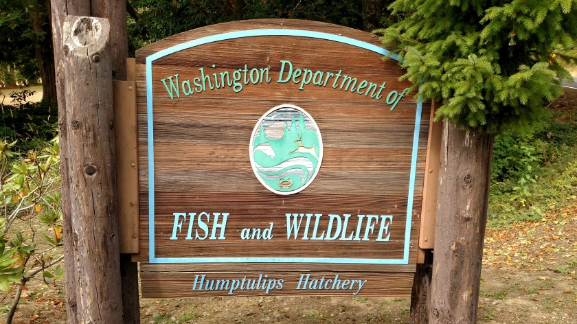
Thursday I went to two salmon hatcheries, one federal and one state.

These consist of large, rectangular concrete pools which can be filled with constantly changing water and in which fish are raised from a very small size. Tracking chips are put in them and one non-essential fin is removed so fisherman and wildlife officials can later tell which fish came from hatcheries and which ones were bred and raised in the wild.
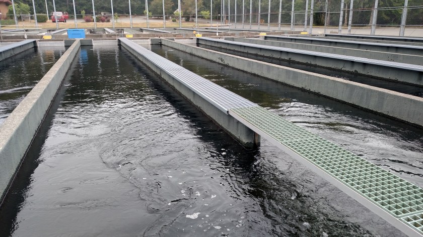
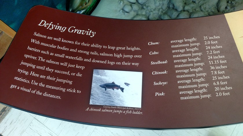
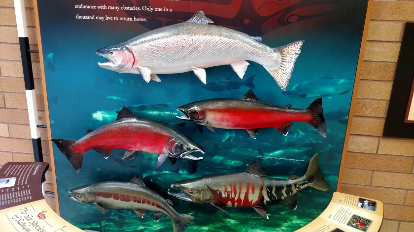
There was a Visitor Center at the federal hatchery and I learned there what the six species of salmon are and how to tell them apart. Not all are raised in this hatchery.
As I was returning to Hoquiam I saw a sign for a state hatchery and it was virtually identical to the first one I saw.

Wednesday was a travel day as I traversed the short distance between Grayland and Hoquiam, where I would be spending two nights before heading up to the Olympic Peninsula. I first returned to Westport, which I had spent most of my time in on Tuesday. It is on a small peninsula at the southern mouth of Grays Harbor, a large body of water about a third of the way up the Washington coast. The day started out with a heavy overcast and it ended up staying that way all day.
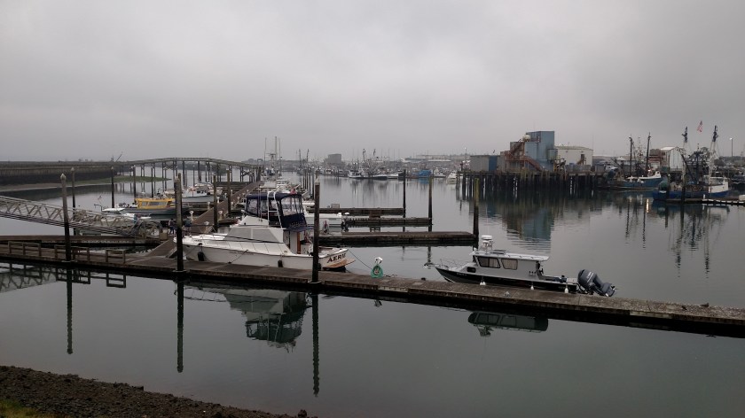

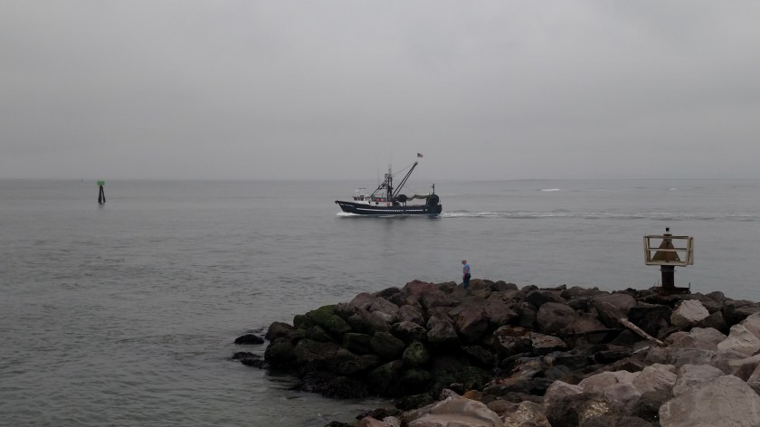
Here is another fishing boat headed out to round up the “catch of the day”
I then drove counter-clockwise around the Harbor through Aberdeen and Hoquiam and went out on the peninsula which stretches down to form the northern mouth of the Harbor entrance. The southernmost town there is Ocean Shores. Before reaching Aberdeen I saw another famous Ocean:

I was told when I stayed in Coos Bay, Oregon a while back that as I proceeded north I would start seeing cranberry bogs. I have seen them in New England, where Ocean Spray is based, but never thought I’d find them on the west coast. Well, I have seen lots of cranberry bogs, and two cranberry museums! There was a small Ocean Spray facility down near Grayland but it seemed to be a gathering spot for crews harvesting berries. This plant, near Aberdeen, was much larger and given it’s proximity to the Harbor is probably for processing and shipping cranberries.
After I visited the Coastal Interpretive Center in Ocean Shores I drove north on the highway which took me there as far north as I could, to the little town of Taholah. The last 8 miles of that drive was on the Quinault Indian Reservation. Highway 101, which I have used all the way up the coast from Los Angeles, stays pretty far inland once it gets past Grays Harbor in order to get around the Quinault Reservation which is quite large.
I have noticed that beach access is much more limited in Washington than it was in Oregon, and that the State Parks in this state are much quicker to charge entry fees. Most of the State Parks in Oregon were free (and ALL beach access is) but the more popular ones tended to have a modest $5 fee. The beaches I have see so far have been more ordinary (not that there’s anything wrong with that) than the rocky, picturesque beaches further south. And the highways in Washington are mainly lined with trees so while it is harder to get to the beach is it also more difficult to even see it! Who knows, when I get north of the Reservation tomorrow I may find more interesting scenery….
After my nice drive I returned to Hoquiam, met and visited with my Airbnb hostess and had a yummy taco dinner in town.
Wednesday I visited this facility in Ocean Shores, Washington. Here are some interesting things I saw:
This is an Ocean Sunfish:

This particular specimen isn’t very big (the main body was maybe the size of a large frying pan) but according to some photos I have seen online recently these fish can grow to be grotesquely large.
Next, a Green Sea Turtle:

Remember “Crush” in the movie Finding Nemo?
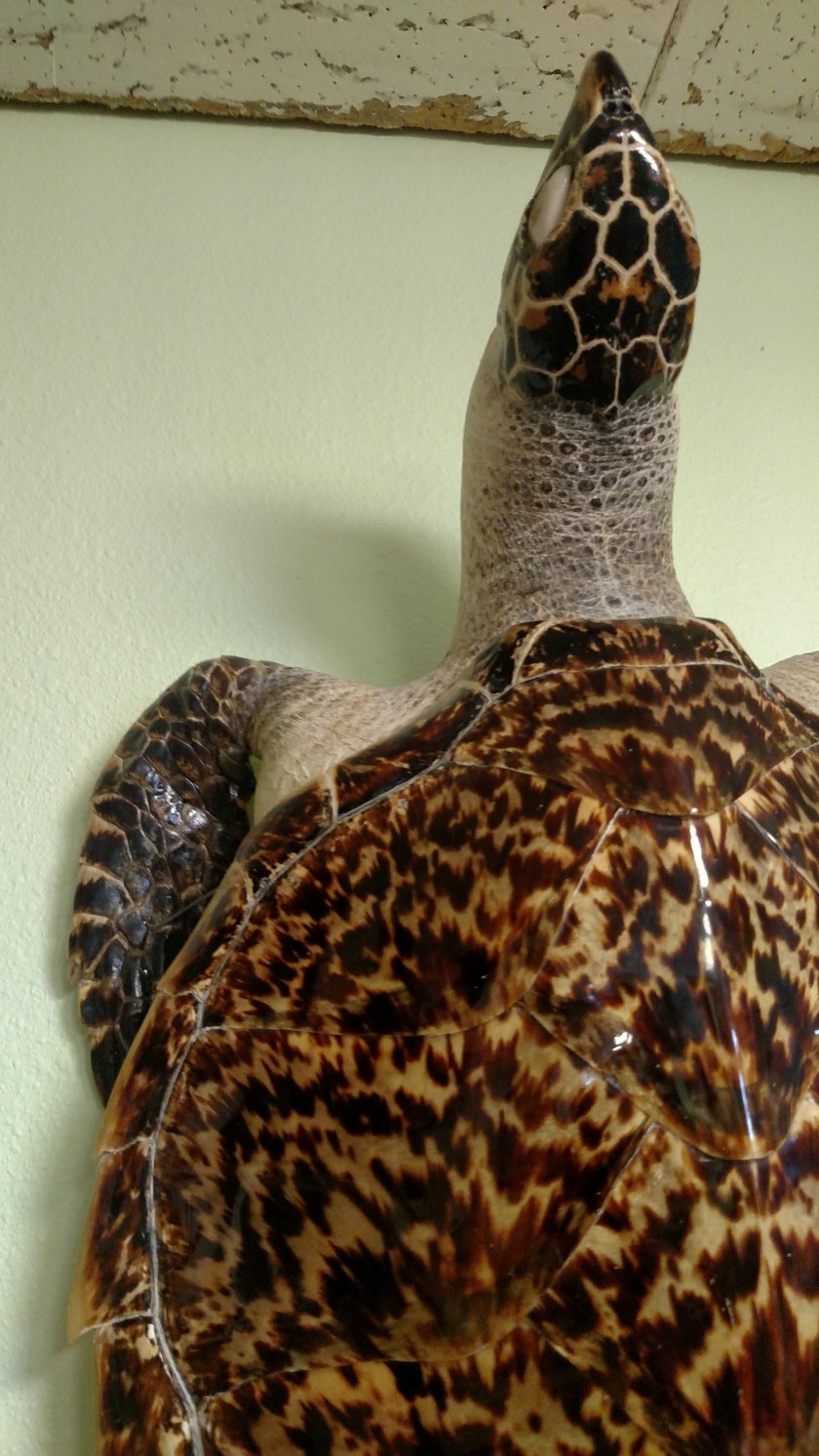
Next, a very ornate Hawksbill Sea Turtle:

And a little bit closer look at it’s shell, head and flipper:
And finally, a red-tailed hawk. I just love watching these fly….
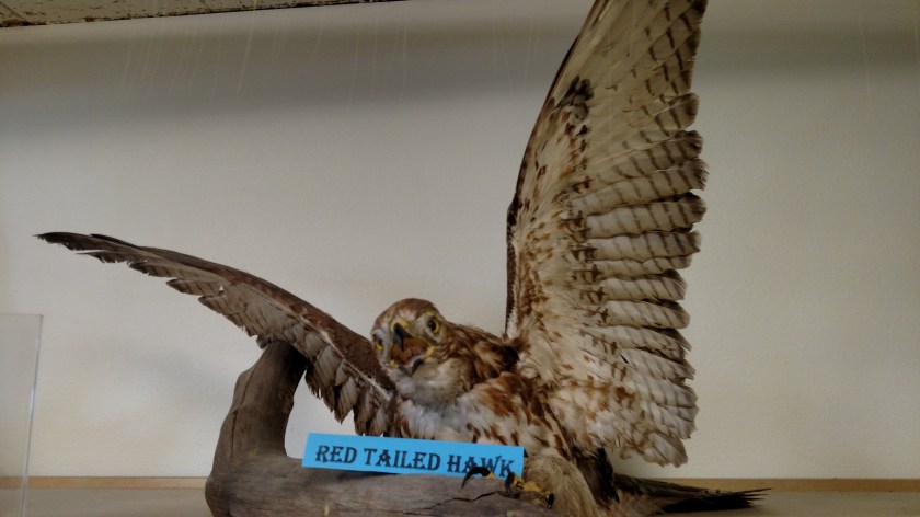
Unfortunately this guy’s flying days are over.
