July 22, 2019
Monday I headed east from New Glasgow and crossed a bridge onto Cape Breton Island.
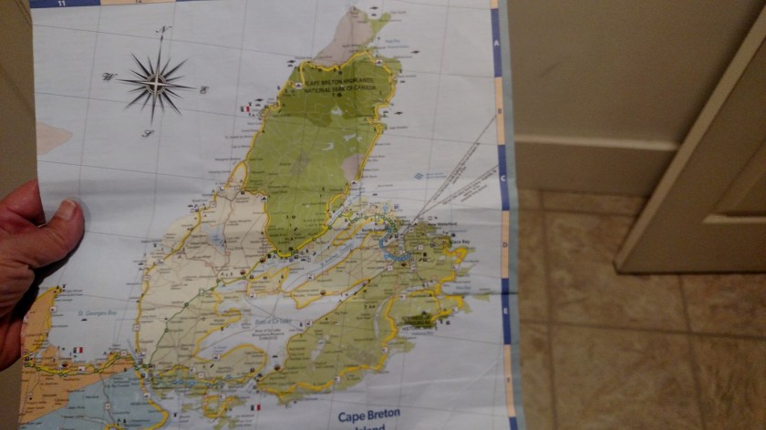
Cape Breton (pronounced BRETT-on) Island covers almost 4,000 square miles, making up roughly 18% of the total area of Nova Scotia. Most of the province is a peninsula attached to the southeast portion of New Brunswick. Cape Breton Island extends northeast from the peninsula.
After coming east from New Glasgow on TCH-104, the scenic route I drove on Monday began in the southwest corner of the island, on Highway 19 (aka the Ceilidh Coastal Trail). A Ceilidh (pronounced KAY-lee) is a social event comprised of Scottish or Irish folk music, singing, traditional dancing and storytelling.

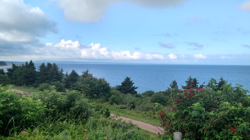
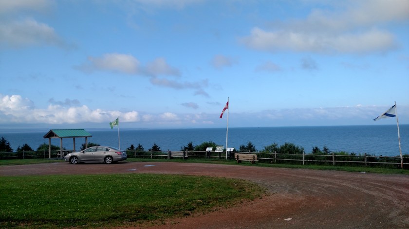
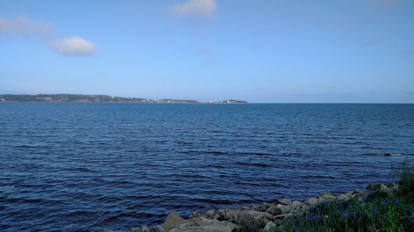
In Canada what we in the US call a scenic overlook is referred to as a “look-off”. I stopped at this one shortly after I started driving north.

This was looking back towards the way I came over from New Glasgow. The mainland juts out to the right on the horizon

Next up, the little town of Judique – with a musical history.

This is the Celtic Music Interpretive Centre in Judique.

This was a little park & walking trail just past Judique. Note that the bicycle rack is in the shape of music notes.


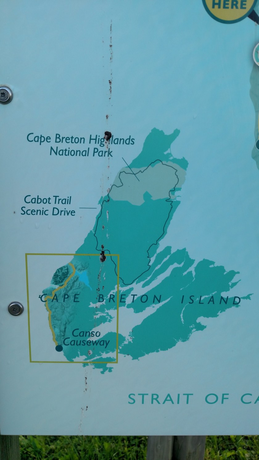
This was a map near the walking trail showing the island and the three main components I would be seeing during today’s drive, the Ceilidh Trail (inside the box), The Cabot Trail which I would drive the majority of next, and Cape Breton Highlands Park near the top of the island. I will be driving all the way out to Meat Cove at the northern tip on Tuesday.
This was the view of an island a short ways offshore, looking west near Port Hood.
And further up the road I started seeing mountains. The island becomes more mountainous as you drive north.


