July 22, 2019
Continuing on up the west coast of Cape Breton Island this was near the town of Mabou:


Further up the road were these two small abandoned houses. A man was mowing the yard with a large John Deere tractor but conveniently drove behind the house on the left as I was preparing to take the photo.

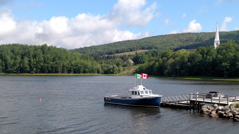
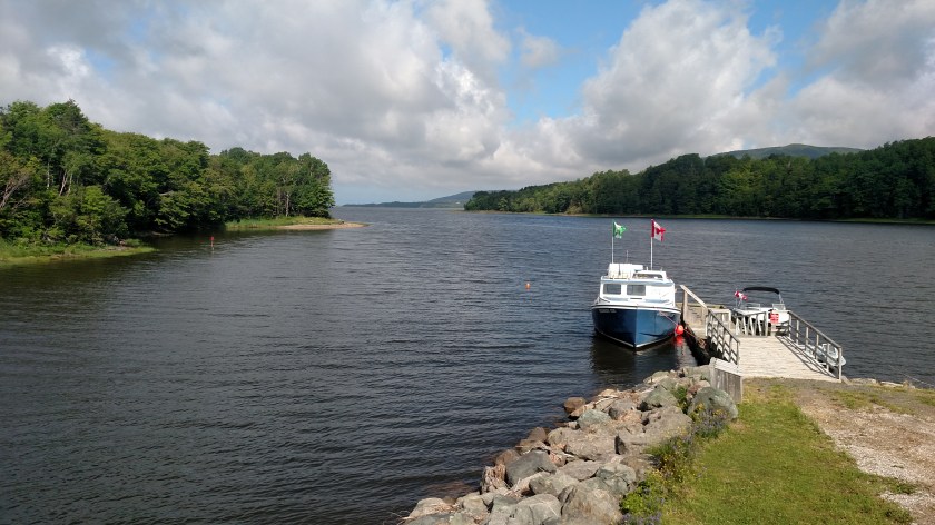
Next up, a little town of Inverness. This is their harbor, located on MacIsaac’s Pond on the south side of town.

As you can see, this is their Visitor Center.

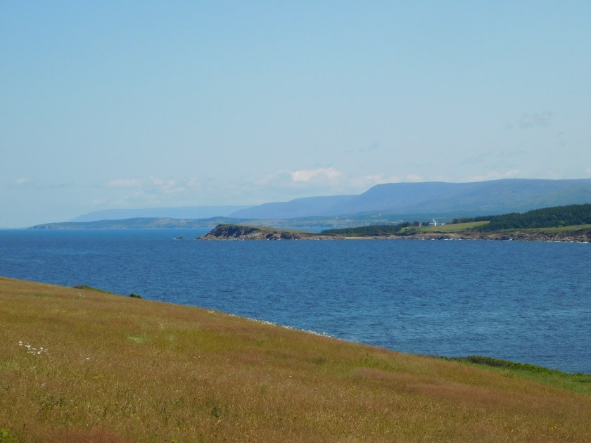
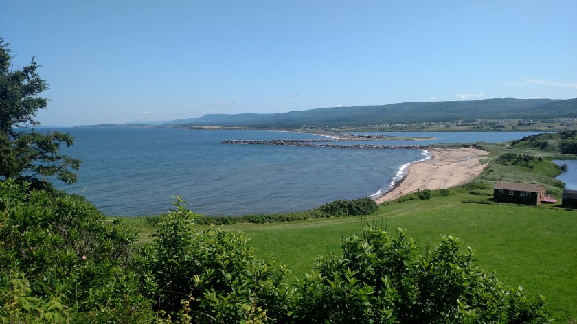
Further up the road I saw a dirt road leading left off the highway up to a graveyard on a hill overlooking the water to the west and the town of Whale Cove looking east towards the road:


Looking south:

Looking north:


This was taken with the digital camera, zoomed in towards the area seen on the left side of the photo above. The mountains in the distance will include Cape Breton Highlands National Park.
This the view driving in to Margaree Forks on Route 19, the Ceilidh Coastal Trail. That highway ends here and I will turn left onto another road.
And this is the view after the bridge carrying the other highway on up the coast towards the Park. That highway doesn’t have a number but is called The Cabot Trail and makes a huge loop. If you look closely you’ll see two kayakers to the right of the bridge.

I will continue posting tomorrow starting with The Cabot Trail and continuing on into Cape Breton Highlands National Park. I took over 320 photos today and need a little time to sort through them all. I drove the Cabot Trail clockwise today and plan to drive it the other direction on Tuesday. Unfortunately it looks like the next two days may be rainy so I’m glad I got some fairly good pictures today.

Beautiful
LikeLike
Lovely pics!
LikeLike
Thank you, Brett.
LikeLiked by 1 person