After finishing up things in the Page, Arizona area I continued making my clockwise loop back towards Kanab. I stayed on Route 89 until I got to the town of Bitter Springs. Getting there required making a fairly substantial elevation drop to the desert floor. Once there, I turned right on Route 89A which would take me to the next series of sights.
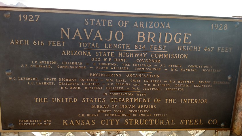
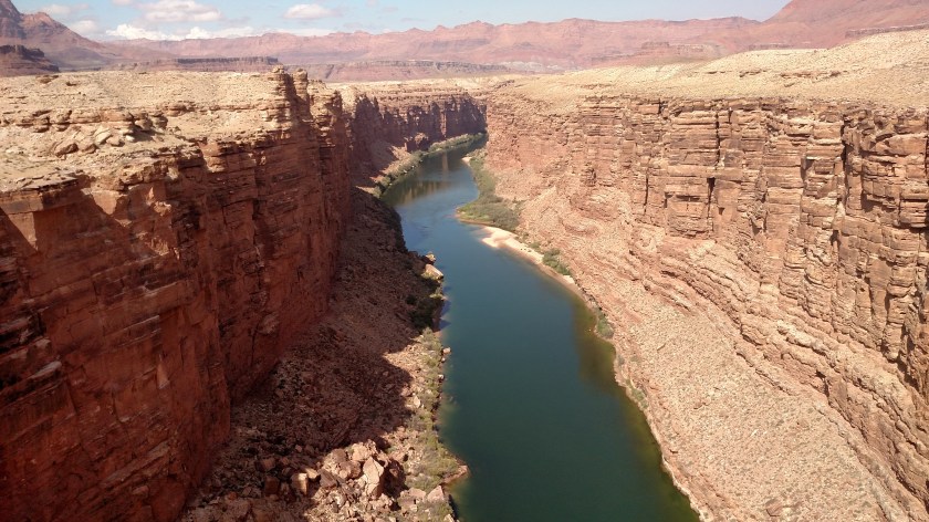
First up – the Navajo Bridge, which spans the Colorado River. Given the reduction in altitude, the drop from the bridge to the water is less than half what it was at Horseshoe Bend, up in Page.

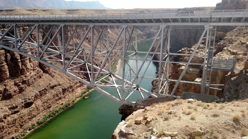
This was taken from the pedestrian bridge which is located alongside the vehicular bridge.
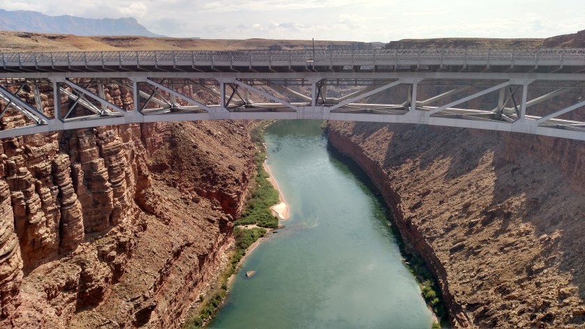
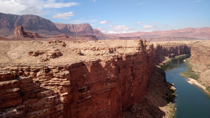
And this is looked the other way, northeast, away from the pedestrian bridge.

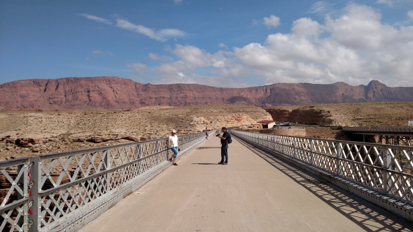
And these give you some idea of what is in the area if you stop looking down. First looking northwest, which was my direction of travel….
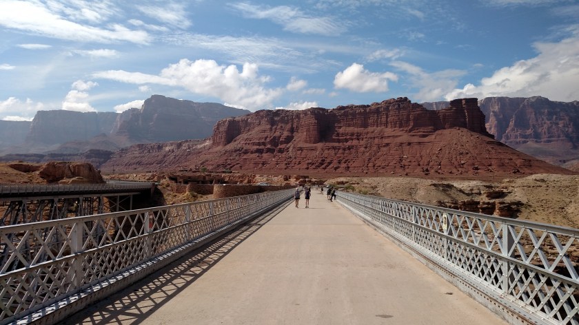
…. and then looking southeast, which is where I was coming from.