Olympia, Washington

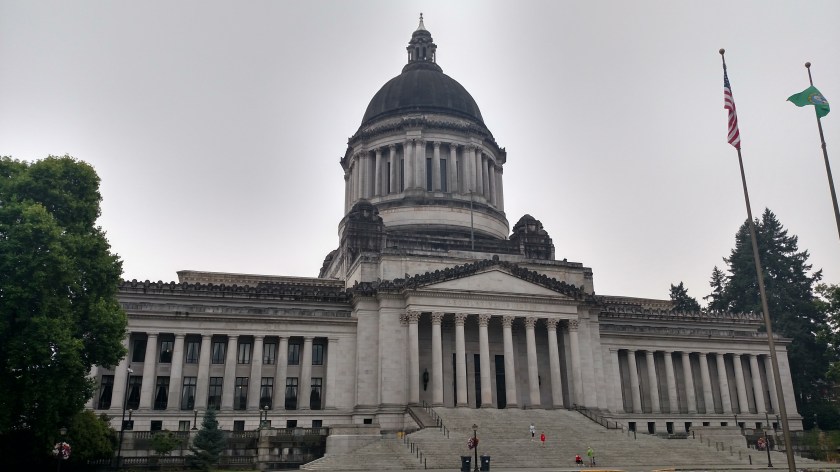
I arrived in Olympia Friday afternoon but was greeted by very poor air quality thanks to a nearby wildfire so I didn’t do much exploring when I got here.  Saturday I went downtown to wait for the Visitor Center to open at 9 o’clock and since I was a little early I walked over to get a photo of the Capitol building:

IMG_20180825_090333922_HDR

I may go back on Sunday to tour the inside, depending on the weather.

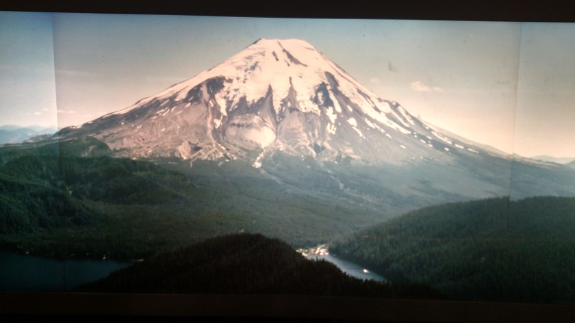
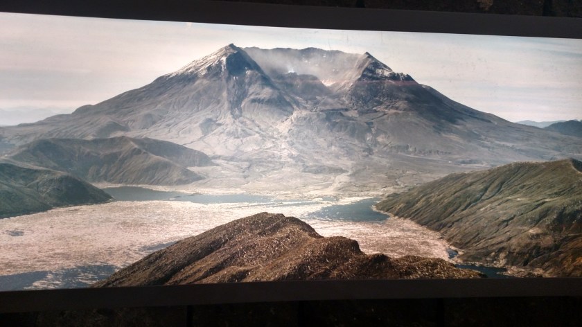
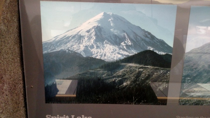
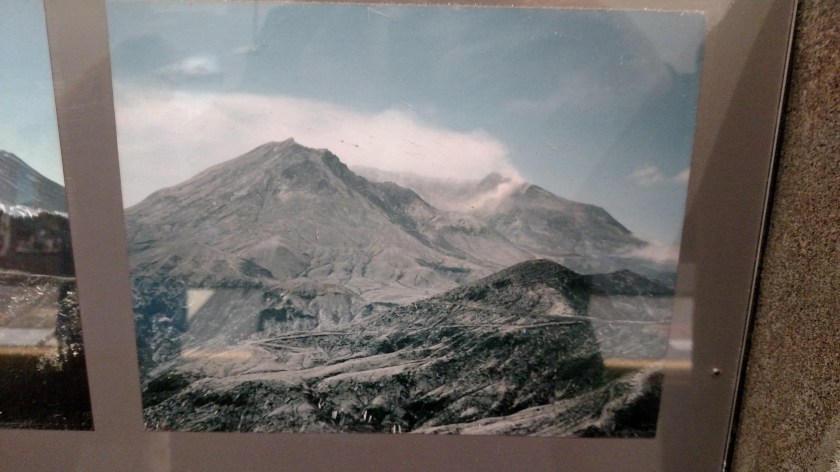
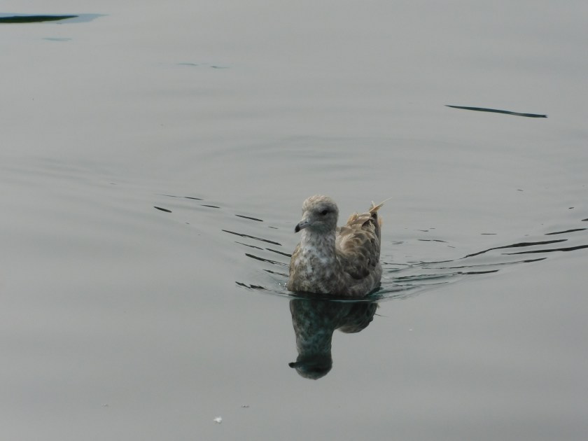
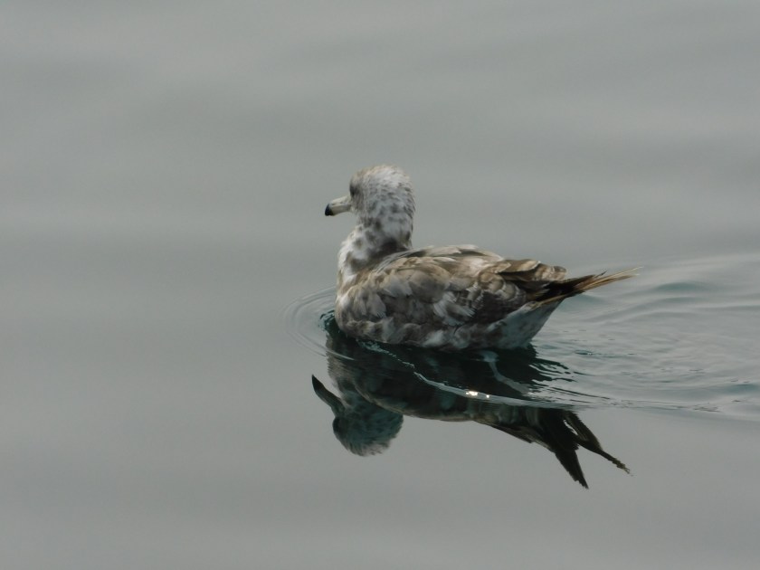
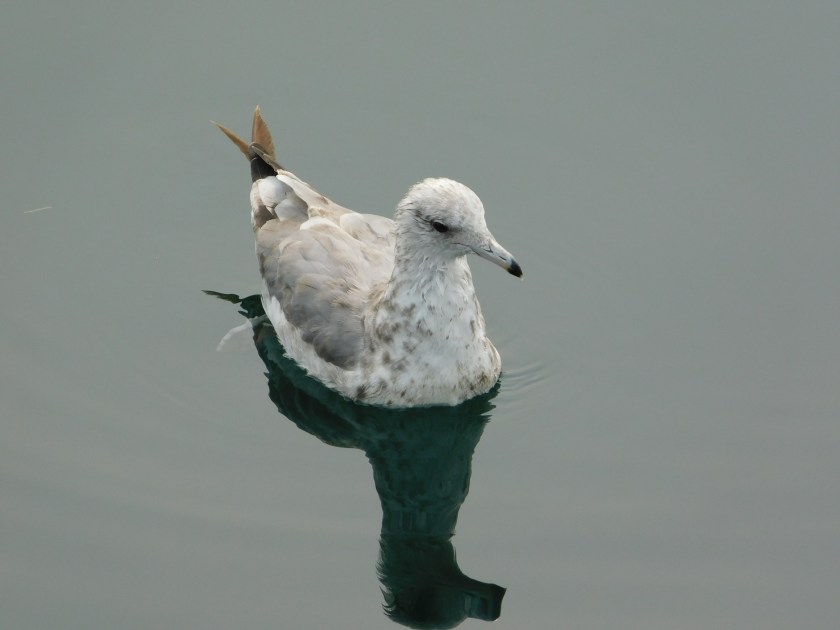
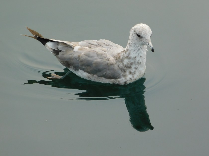
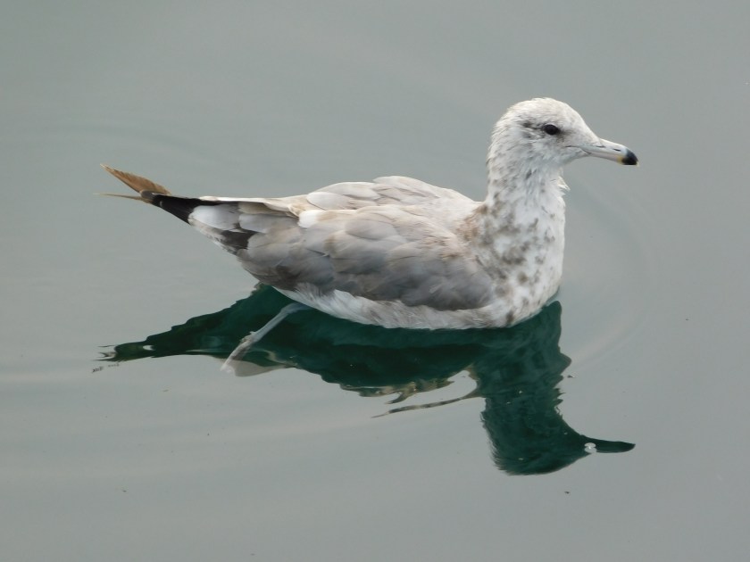
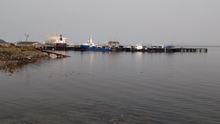
Next I drove south to try and see Mount Saint Helens again.  I was there briefly last year and my first visit was in 1993 (see next post).  Saturday the wildfire smoke wasn’t a problem but a persistent heavy overcast was and since I couldn’t see much I just headed back to Olympia and spent some time walking around town, mainly along the waterfront.

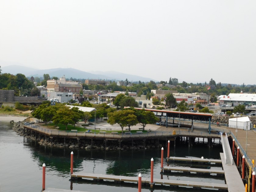
Olympia is at the southern tip of Budd Inlet, the southernmost body of water which includes Puget Sound, west of Seattle.  There is a long boardwalk which goes around much of the West Bay and this was piece of tile art which illustrates the spot where I was standing when I took the picture:

IMG_20180825_131022736

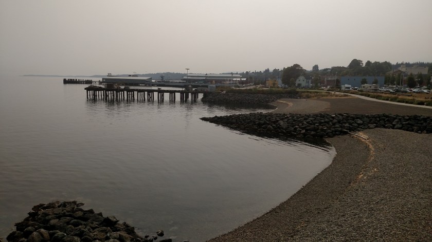
And raising the camera up, this is what I saw:

IMG_20180825_131033777_HDR

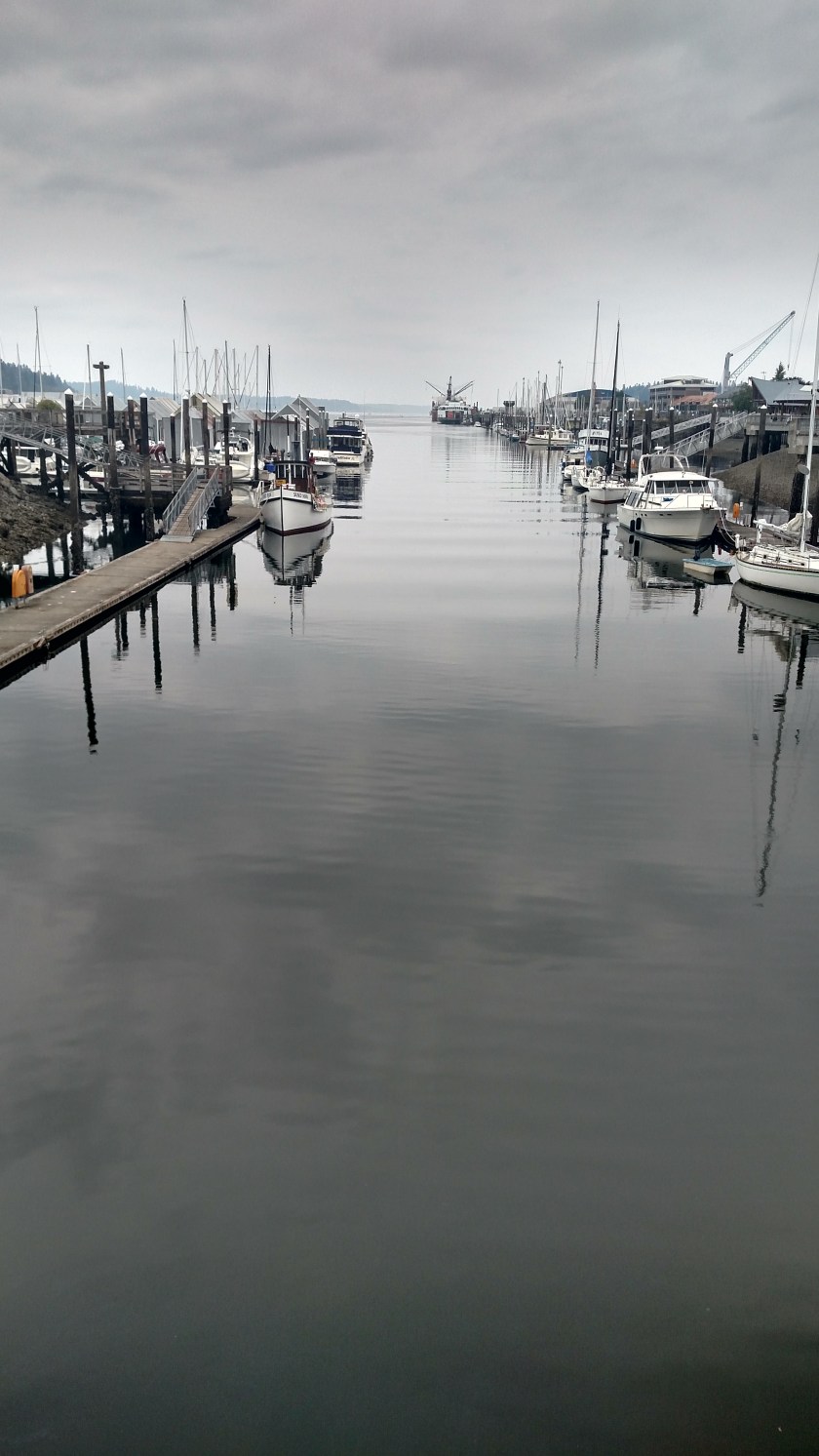
I was standing on the “red tiles” looking north.  Below the red tiles is another body of water, Capitol Lake, which is right next to the Capitol building.

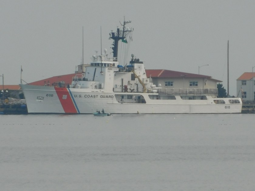
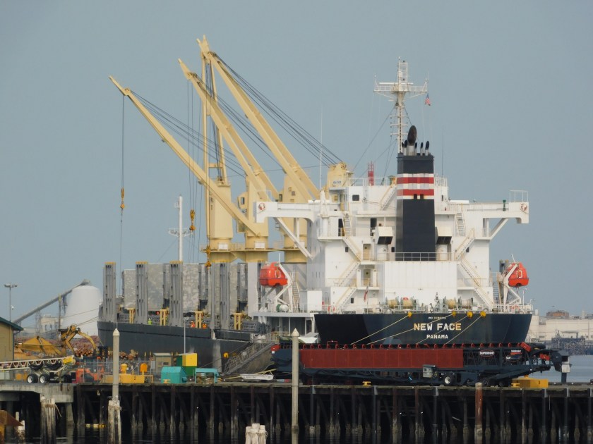
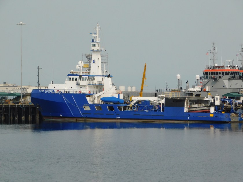
I walked the full length of the boardwalk, which included a nice overview of the Olympia Yacht Club, thank you very much.  I wish I had gotten the full sequence but here is the tail end of a gentleman skillfully turning his boat around 180 degrees before docking it.  The guys standing on the dock had been sitting on the sailboat next to where he was “parking” and helped grab the lines to anchor the boat to the dock.

IMG_20180825_132449207

IMG_20180825_132501187

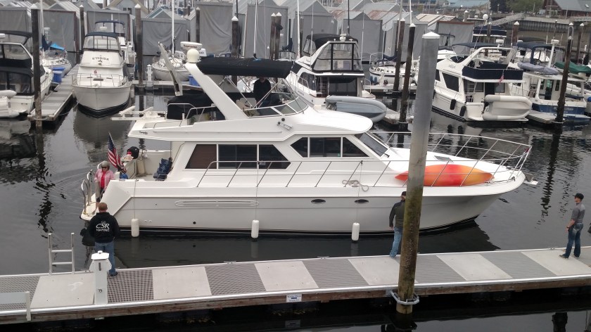
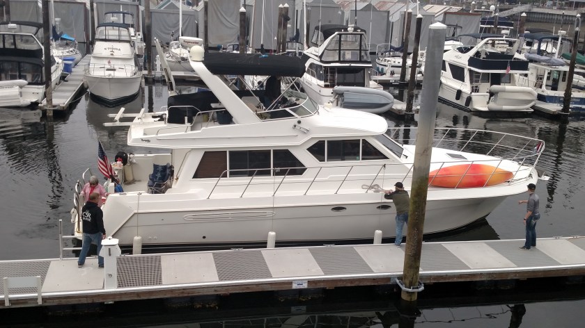
When I first saw this occurring the boat was perpendicular to the dock and as you can see, there wasn’t much room to work.  This obviously wasn’t the captain’s first rodeo because he pulled it off without a hitch and didn’t spill a drop of anyone’s martini.

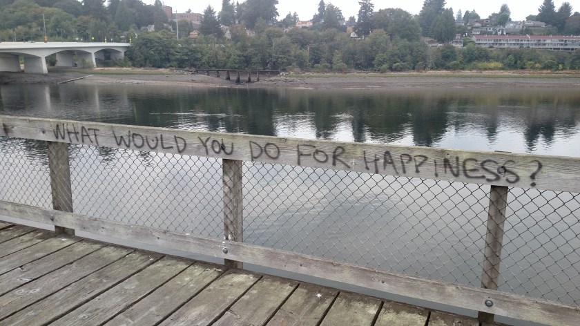
Elsewhere on the dock I saw where someone had posed this thought-provoking question:

IMG_20180825_134218744

And along the way – more flowers!  There were lots of varieties but here are a few I could get clear pictures of that you haven’t seen on the blog in the past:

IMG_20180825_132004088

IMG_20180825_132049466

IMG_20180825_135702977

There were 2 or 3 other interesting ones but I couldn’t get the camera to focus properly (evidently I need a “macro” lens).

There were several art pieces scattered along the boardwalk and this is the one I liked the most:

IMG_20180825_140337938

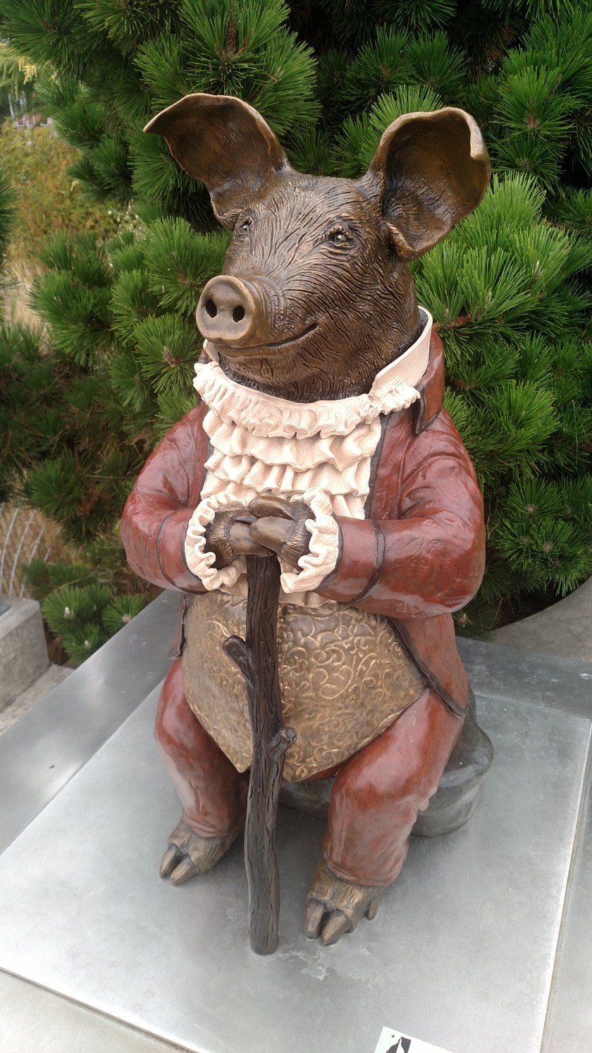
It is called “Pig Listening in a Story Place” and the artist is Nancy Thorne-Chambers.

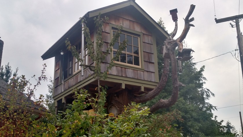
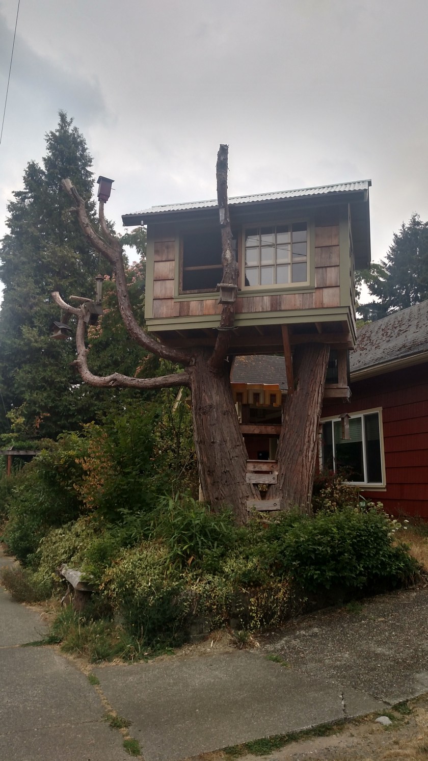
On my way back to my Airbnb I saw this cool treehouse just a few blocks away:

IMG_20180825_164058819_HDR

IMG_20180825_164135075_HDR

Mount Saint Helens

Saturday I went down to the western-most Visitor Center for this volcano, just off Interstate 5 in southwest Washington state.  That center had just opened when I first came to Mount St. Helens in 1993 (although I had found a way in to see the mountain from the north).  I tried to get back to the same spot I had been to in 1993 last year but due to a mudslide earlier last year part of that  road was still closed.  Saturday was the first time I visited any of the actual Visitor Centers for the mountain.

Mount St. Helens’ last major eruption occurred the morning of May 18, 1980.  Fortunately, scientists had detected early signs that something was happening months earlier and had closed the areas immediately around the mountain to public access on March 26 of that year or else the loss of life would have been much greater.  Present-day GPS equipment can now detect movement on the mountain of as little as 1/16 of an inch.

I was hoping to go to some of the various vantage points on Saturday but there was a heavy overcast (though the wildfire smoke had cleared) and I couldn’t even see the mountain from the first Visitor Center I got to so I didn’t go any further.  Sunday’s forecast doesn’t look any better.

The most dramatic thing I saw at the Visitor Center was “before and after” pictures.

This was a shot of the mountain at some point before the eruption (exactly when, I don’t know).

IMG_20180825_105910321_HDR

At the lower left and center of the photo you can see small portions of Spirit Lake.  Here is a photo from the same vantage point (look at the two small mountains in the foreground and the curved mountain on the left) after the eruption.

IMG_20180825_105930500_HDR

Due to debris falling in the lake and logs effectively damming it, the surface level of the lake rose approximately 200 feet from what it had been so it now covers a much larger area.

Here is an illustration of how, destructive as it was, the release of ash and debris from the mountain in 1980 was relatively small compared to other eruptions in history.

IMG_20180825_110111322

Mount St. Helens is the tiny example in the center foreground of the photo.  In the lower left corner is Krakatoa, which erupted in 1883.  The huge example in the background is what is now Crater Lake in southwest Oregon, then known as Mount Mazama, which erupted in 4850 BC.

Here is another “before and after” shot, also from the vantage point of Spirit Lake but a tad further east, away from the blast:

IMG_20180825_110514982

IMG_20180825_110520564

You can see how all the mountains in the foreground were stripped bare of the trees and vegetation which once stood there, even though it wasn’t in the direct path of the blast.

These are all pictures of pictures which were in the Visitor Center so I apologize for them being off-center and having reflections in the glass.  They were shown without credit so I don’t know who took them originally.  I also have pictures of the rapid-fire sequence captured by photographer Gary Rosenquist but haven’t decided yet whether I will post them.  They show the incredible speed with which things happened.

To see my post from last year enter “Mount St. Helens” in the search box on the Home page, or use the calendar grid there to go to posts from July 28, 2017.


Remainder of Washington’s Lighthouses

Friday morning I had to make a decision on whether to return to Port Angeles and go in the Hurricane Ridge entrance of Olympic National Park or head directly south on Highway 101 to my next stop in Olympia. I drove around the Port Townsend area one last time and decided to head to Olympia, whose Air Quality number had dropped dramatically from what it had been the past few days.

Of course when I arrived in Olympia the air quality was terrible… I’m learning that wildfire smoke is as fickle as fog. I knew there had been a fire south of Olympic National Park and I drove through the area where several campgrounds and roads were closed. Evidently today the smoke from THAT fire decided to drift southeast towards Olympia. This afternoon the Air Quality number here was back up in the Unhealthy range whereas everywhere else on the Olympic Peninsula was back to normal. Oh well. I went to a movie at the mall when I got to town. Tomorrow I’ll go to the Visitor Center for maps, etc. and may drive down to Mount Saint Helens, which I want to revisit.

In the meantime, I decided to post pictures of the remaining lighthouses in Washington, most of which I will NOT be visiting. The map I have shows 12 privately owned lighthouses (which include a few that I did see) and 14 others. If I had continued clockwise on the mainland here are the publically accessible ones I might have seen (and may still get to):

There is a large peninsula (Kitsap) which sticks out west of Olympia up towards Seattle and at the end of it is the “Point No Point” lighthouse. There is also one with the same name in Maryland.

PointNoPoint lighthousefriends

(Photo credit: lighthousefriends.com)

In Tacoma there is the Brown’s Point lighthouse:

Browns Point landmarkhunter dot com

(Photo credit: landmarkhunter.com)

Not very conventional but functional, I suppose.

In Seattle there is the “Swiftsure Lightship” which is actually a boat:

Swiftsure Lightship lighthousefriends

(Photo credit: lighthousefriends.com)

And from another photo I found online it appears to be rather skinny:

swiftsure threesheetsnw

(Photo credit: threesheetsnw.com)

On the north side of Seattle is the West Point lighthouse:

westpoint2 seattleandsound

(Photo credit & copyright: seattleandsound)

And finally (for lighthouses located on the mainland) Mukilteo lighthouse, in the town of the same name:

mukilteo lighthousefriends

(Photo credit: lighthousefriends.com)

The remainder of these are on various islands. Only 4 miles from Port Townsend, on Whidbey Island, is the Admiralty Head lighthouse, a companion to the Point Wilson lighthouse I posted photos of earlier. Together they help guide ships in and out of the Puget Sound from the Strait of Juan de Fuca.

Here is an old photograph which shows the original lighthouse which was a wooden tower on top of a house. Evidently both this one and the one at Point Wilson were originally in a shorter, wooden tower before a taller, more modern tower was constructed.

AdmiraltyHead lighthousefriends

(Photo credit: lighthousefriends.com)

And the newer one:

Admiralty Head lighthousefriends

(Photo credit: lighthousefriends.com)

Between Seattle and Tacoma, out on Vashon Island, is the Point Robinson lighthouse:

Tall Ship, Tall Lighthouse, Tall Mountain

(Photo credit & copyright: Joseph E. Becker, seldomseenphotography)

That is Mount Rainier in the background.

And way up north of Seattle and west of Bellingham are these three:

Lime Kiln lighthouse on San Juan Island:

limekiln lighthousefriends

(Photo credit: lighthousefriends.com)

Turn Point lighthouse on Stuart Island:

TurnPoint nick seegert photography

(Photo credit: nickseegertphotography)

The “lighthouse” is the taller of the two white things on the left side of the photo.

And finally – the Patos Island lighthouse on, you guessed it, Patos Island.

Here is a photo of it undergoing renovations:

DCF 1.0

(Photo credit: lighthousefriends.com)

And after the work was completed:

PatosIsland neals lighthouses blogspot com

(Photo credit: nealslighthouses.blogspot.com)

I was surprised to learn that Michigan, which borders three of the Great Lakes, has the most lighthouses of any state in the US.

And while some lighthouses still function with their original lens, many have been outfitted with “beacons” which are much smaller and are usually attached to the framework up near where the original lens was located. With GPS technology most ships have much more accurate information on where they are and where they’re going, although lights and beacons are helpful for smaller ships which may not have GPS equipment on board.

No more posts today…

DSCN7403

That photo has absolutely nothing to do with what I am about to tell you but is there for comic relief (it is a kids flotation device I saw while walking out to the lighthouse in Port Townsend on Tuesday).

Tuesday afternoon, around 5pm Eastern time, I got a call from Pennsylvania that my older brother who lives there was having yet another seizure and was in an ambulance getting prepared for a ride to his preferred hospital, about 40 minutes away.  He is in his 5th year of seizures and for the most part they have become fairly routine (go to hospital, stay 2 or 3 nights in ICU, adjust his meds and send him home).

That all changed later Tuesday evening when his live-in girlfriend called and said that when had arrived there he was “stable” but that his condition was now being called “critical” and they were going to move him to another hospital not far away.  The cities of Scranton and Wilkes-Barre, Pennsylvania are only a few miles apart and are often referred to together, much like Raleigh and Durham, North Carolina.  Needless to say that put my family in the condition called “mild panic” as I notified my other two brothers, one of whom was also on a road trip in the Midatlantic states.

Well, Wednesday I decided to stay in Port Townsend so I would have continuous cell phone service for updates.  The news got better throughout the day (although the air quality didn’t) and it turns out the “critical” was more of a classification for hospital purposes because Wilkes-Barre didn’t have an ICU room available and they had to justify transporting him to Scranton.  He apparently did have a brief time when they couldn’t stop his seizures so they heavily sedated him for the night.  Wednesday morning the doctors reviewed his various tests from the night before, woke him up from sedation and decided that while his meds still need adjusting, he will probably go home in another day or two.  So while there were moments of terror for us, it turned out to be pretty much business as usual.

So far this morning (Thursday, 940am local time) the air quality numbers haven’t improved quite as much as forecasters had predicted and I don’t know yet what my plan is for the day.  It is cool and damp and not expected to get any warmer than the low 60’s here in town.  I am getting ready to venture out and see how things look – literally.

Yesterday I worked on a post (probably two) which I may make later today if I don’t end up going anywhere.  If I backtrack back west I won’t post it until tomorrow.  While I was doing laundry yesterday I started reading a John Grisham book I bought while I was in Colorado Springs and am now totally absorbed in it.  I may just sit by the water and read.

Point Wilson Lighthouse

This lighthouse is located in the extreme northeast corner of Fort Worden State Park in Port Townsend, Washington.  The original light became operational in 1879 and was located in a wooden tower atop the lighthouse-keepers residence.  In 1913 a taller made of concrete was placed in service (the structure you see in the photos) and the wooden tower was dismantled.  The lighthouse was automated in 1976 so the original light is no longer used.  If you look closely you’ll see the automated beacon attached to the railing up near the original lens housing on the side of the lighthouse facing the water (the first few shots were as I approached the lighthouse on land, from the “back”).

DSCN7404

DSCN7410

DSCN7420

This is the side facing the water:

IMG_20180821_131737765

DSCN7423

Port Townsend – Various

Here are some various things I saw while in Port Townsend on Tuesday.  Because the air quality was poor I just stuck around town and kept the air in the car on “recirculate”.  I did do quite a bit of walking but the air didn’t seem quite as bad as it was on Monday.

This is one of the nicer Victorian-style buildings in town.  It was having some paint freshened up.

IMG_20180821_101128605_HDR

And this is the County Courthouse, one of the oldest municipal buildings in the State of Washington.  It is only three blocks from the water and the streets quickly increase in elevation so the only way to get a picture of the front is to look up.

IMG_20180821_140807042

These are two donkeys on the property where I am staying.  My Airbnb hostess is a veterinarian and has several horses, pot-bellied pigs, and these donkeys on the property.  The one on the left is the mother and the little one is just a few weeks old (and has LOTS of energy!).

IMG_20180821_093638796

And I have seen these lots of places but this is the “cleanest” one I’ve come across.  This is a tsunami warning tsiren.  It is one of 58 scattered strategically along the Pacific coast of Washington and the waterways leading into Puget Sound.

DSCN7407

Port Townsend – Boats

Here are some of the different boats I have seen while in Port Townsend.  I arrived here on Monday and while I was waiting for my Airbnb host to get home from work I drove up to a city park along the Strait of Juan de Fuca (where it becomes Admiralty Inlet).  The further east I drove on Monday the worse the air quality was.  This was looking north at around 5pm local time.  There is a large cargo ship right in the center of the photo.  My guess is that it was maybe a mile or two away (hard to tell over water).

IMG_20180820_170053379

The rest of these were taken Monday.  Air quality seemed a little better today here in town but it went way downhill over where I had been in Port Angeles.  Their Air Quality Index rating today was “Unhealthy”.

This was looking south from downtown over the Admiralty Inlet (which leads to Puget Sound, near Seattle).

IMG_20180821_101211728

These were two small yachts near the Point Hudson Marina adjacent to the downtown business district.

IMG_20180821_104028870_HDR

I had never seen a wooden kayak before but here was one on top of a car parked in town.

IMG_20180821_104849428_HDR

IMG_20180821_104902854

And when walked through Fort Worden State Park to get to the Point Wilson Lighthouse here were some more in a campground – a triple-seater and two singles.

IMG_20180821_125632477

And this is a high-powered whale watching boat which was zipping along on the Strait of Juan de Fuca, probably heading for Seattle.

DSCN7415

Dungeness Spit Lighthouse

And no, I’m not being crass.  A “spit” is a beach landform located off coasts or lake shores.  I didn’t know that either until last night when I looked it up.

Sunday, since I didn’t go to Hurricane Ridge in Olympic National Park I decided to head east of Port Angeles to check out some other things.  One place I stopped was the Dungeness National Wildlife Refuge near Sequim (pronounced “Sqwim”), Washington.

After a brief walk on the primary trail I could look out over the spit (kind of a skinny peninsula – a VERY skinny peninsula) and see this lighthouse, probably 4 miles in the distance (the sign said 5+ but I had walked a ways from the parking lot).

DSCN7357

I wasn’t about to march all the way out there so here are some photos I found online:

Dungeness lerrophotography flickr

(Photo credit: lerrophotography.com   flickr)

And if you want to see something really impressive, come out here before wildfire season starts and you may luck out on a clear day to see Mount Baker, which is 10,781 feet tall and, as the crow flies, 75 miles away, in the background:

Dungeness shootthesun

(Photo credit: shootthesun.com)

I have seen several photos and paintings of this and apparently it is not trick photography or special effects.  I also saw a similar photo of the Coast Guard base in Port Angeles, which is out on a peninsula, with Mount Baker in the background.  Not too shabby, eh?

Port Angeles – Critters

Mostly seagulls but here are some of the critters I saw on the estuary and bay while near downtown Port Angeles on Sunday:

DSCN7192

DSCN7255

This is a Brandt’s cormorant:

DSCN7266

And this is an otter, probably a River Otter:

DSCN7270

DSCN7271

And more seagulls.  I was amazed how smooth the water surface was, both on Sunday when I took these and on Monday morning before I left town to head over to Port Townsend.  Some of these were on an estuary (near land, where fresh water meets salt water) and some were further out in the bay.  I think the Strait of Juan de Fuca, in general, is not as rough as the Pacific (at least this far “inland”), plus the peninsula where the Coast Guard base is also helps protect the bar and harbor close to the city.

DSCN7301

DSCN7303

DSCN7309

DSCN7313

DSCN7345

DSCN7346

DSCN7347

DSCN7368

DSCN7390

DSCN7393

DSCN7394

Port Angeles, Washington

Sunday ended up being another low key day without much travel.  The air quality was noticeable worse (I had heard on the radio that this would be the case) and I delayed my planned trip up to Hurricane Ridge in Olympic National Park because conditions up there didn’t look good in the morning and I completely lost sight of it by early afternoon.  I am posting this Monday morning and today and tomorrow are “air quality alert” days so it doesn’t sound like things will improve until Wednesday at the earliest.  A friend sent me an EPA Air Quality website and yesterday Seattle and Olympia were in Unhealthy status and Spokane was in Hazardous status!  I plan to be in Spokane for 5 days over the Labor Day weekend so hopefully things improve before then, otherwise I will be spending my days indoors (getting caught up on blog posts).

I spent a good bit of the day Sunday down along the water in Port Angeles.

This was from an observation platform on the west side of town.  It overlooks an estuary where there several (but not an overwhelming number) of seagulls, Canadian geese and an occasional cormorant hanging around.

IMG_20180819_103737242

IMG_20180819_103752860

Out in the bay I could see a Coast Guard ship docked:

DSCN7232

To the west there were a few large ships docked, and there is a large building where a company which builds yachts is based:

DSCN7184

DSCN7185

I hung out there for quite a while, just watching the birds fly and float on the water.  There were also huge schools of fish which came close to the shore and I could see them just below the surface of the water.  They created a very subtle ripple effect on the surface, which is what drew my attention to them.  I am going to post some bird and critter pictures in another post.

After a while I walked a few blocks east to another observation platform and to where the ferry dock is.  Later in the day a large ferry, the Coho, arrived, unloaded it’s passengers and vehicles and loaded a set which was waiting to go north into Canada.

DSCN7290

IMG_20180819_120913246

DSCN7350

This location also gave me a nice view of part of the downtown business district.

DSCN7352

DSCN7355

And also a view of a small fishing boat, docked near where the ferry port was.

DSCN7297