I’ve heard of tiny houses but this is ridiculous….
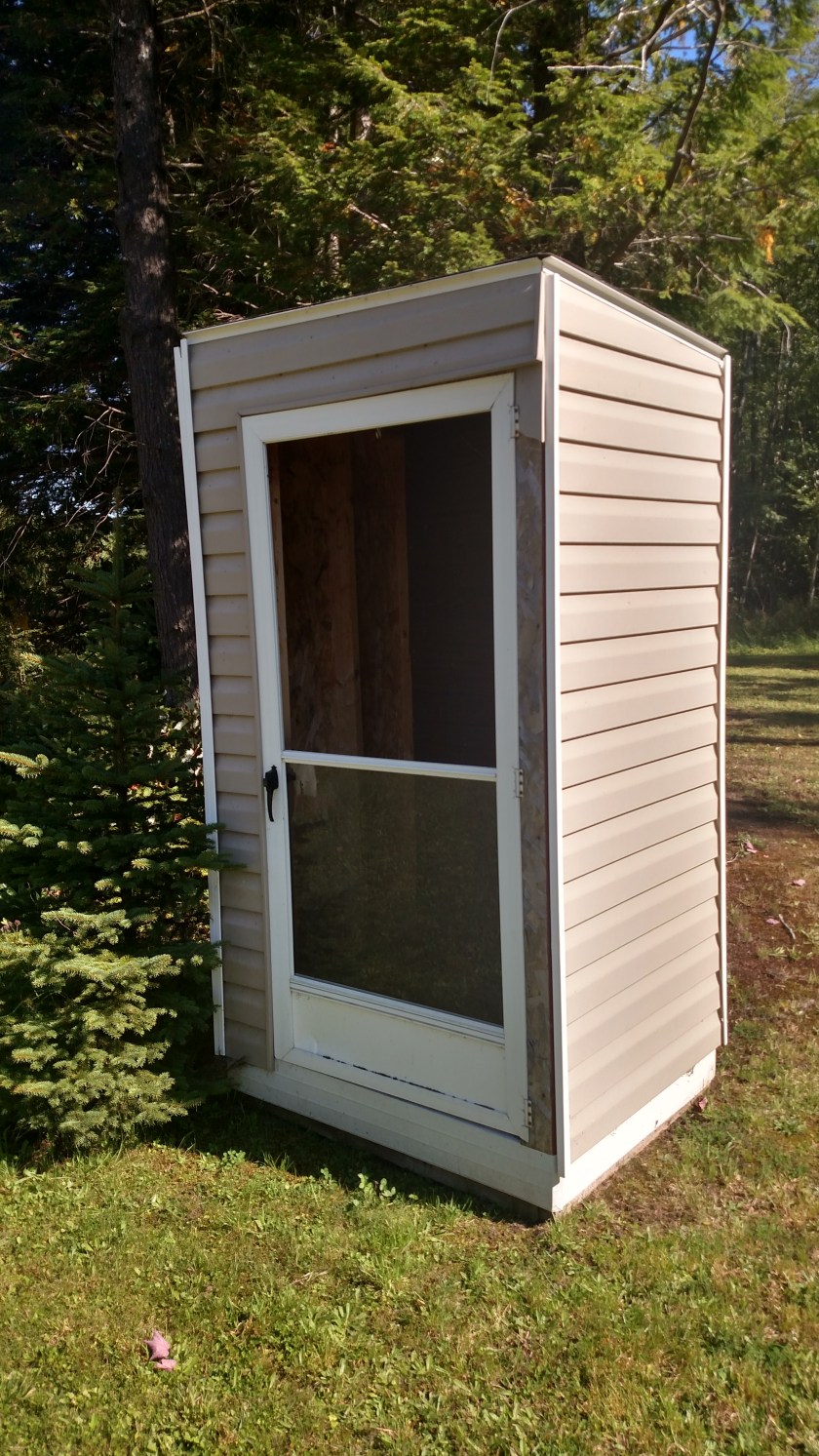
My guess in this was constructed to protect one or two kids from rain or snow while they are waiting for their school bus.
I’ve heard of tiny houses but this is ridiculous….
My guess in this was constructed to protect one or two kids from rain or snow while they are waiting for their school bus.
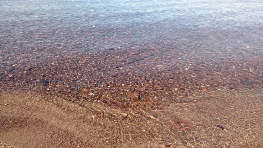
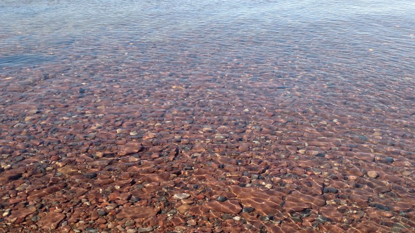
Thursday I drove east from Duluth, MN, through northernmost Wisconsin and into the UP (Upper Peninsula) of Michigan. There are many scenic roads in the UP and I didn’t get a chance to travel on all of them when I was here for the first time a few years ago so I took advantage of the beautiful day to make a detour from my primary west/east route and go north up to the town of Ontonagon, Michigan (pronounced pretty much like it’s spelled: on-toe-NOG-an) which is located on the southern shore of Lake Superior.


And depending on how big of a device you are looking at these photos on you may be able to tell from those pictures that the water was incredibly clear and the rocks near the shore were quite evident.
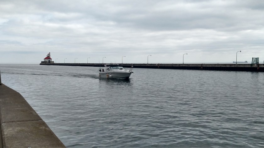
Wednesday I just stayed in town, had my tires rotated and walked around the waterfront area. One of the main attractions in Duluth is the huge Aerial Lift Bridge. I have pictures of it from when I was here a few years ago and will try to find my offsite backups and post them tomorrow when I’m at my next stop. Here are some pictures I took yesterday when they raised the bridge partway for a sailboat to go through:
The process had already started in the first photo. Traffic was stopped and the bridge surface was raised straight up (you can see the bottom of it about the same level as the red traffic light). In the second photo you can see the white sail of the sailboat against the green trees in the background as it went through. Then the bridge was lowered so vehicular traffic could once again use the bridge. If I remember correctly I have photos from my previous trip where the bridge was raised to the maximum height so a huge cargo ship could pass through.

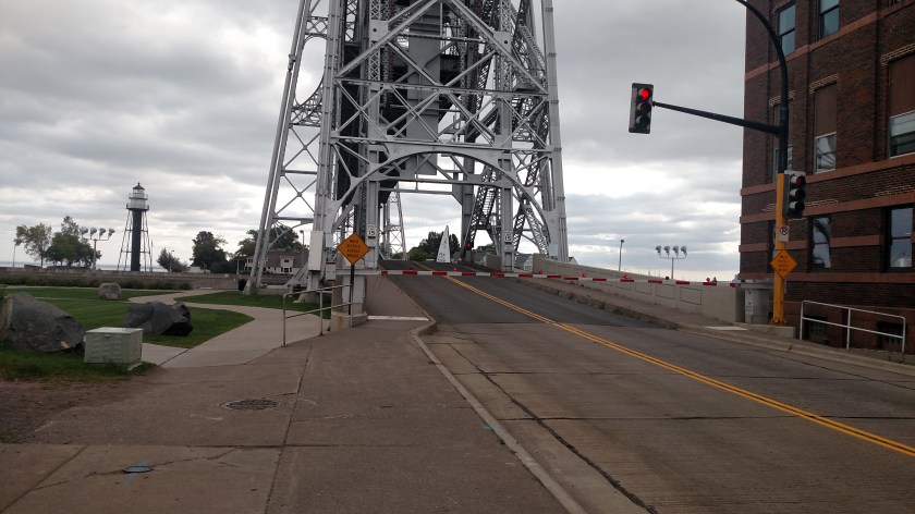
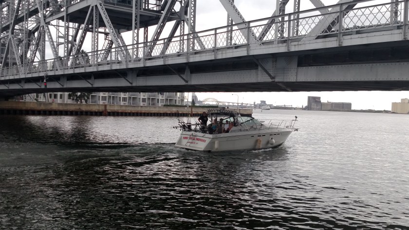
Once the bridge was lowered I walked over to where I could see the water passage underneath it. A short while later a small powerboat came through but it was small enough that the bridge didn’t need to be raised. As you can see, there wasn’t much clearance, and using the sidewalk I was on when I took the photos I could walk underneath the bridge and reach up and touch parts of it.
Thursday is a travel day. I will be leaving shortly to head east across the northernmost part of Wisconsin (where it borders Lake Superior), then cross into the Upper Peninsula of Michigan. I am staying two nights in the southwest part of the UP (the same Airbnb I stayed in a few years ago) and on Saturday will travel down to the mitten of Michigan and stay in Ann Arbor for three nights. Then it will be off to southern Ohio (where the remnants of Hurricane Florence will probably be dumping rain) and will start visiting family and friends in the northeast US before heading home to North Carolina.
Monday was a travel day as I drove approximately 480 miles from where I had been staying in Bismarck, North Dakota, due east through Fargo and across to the northeastern part of Minnesota. I will be spending three nights in Duluth.
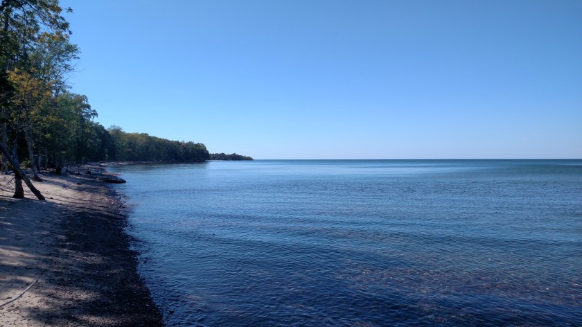
Tuesday I finished something I started when I was in Duluth three years ago – driving up the “North Shore Drive” to the Canadian border. Duluth is at the southeast corner of Lake Superior, the largest and western-most of the five Great Lakes. North Shore Drive is Highway 61 which runs up the entire west coast of the lake as it borders Minnesota. I had driven about halfway up when I was here before but wanted to see all of it. It was a gorgeous day, clear with temps in the low 70’s when I left town in the late morning and dropping into the high 60’s when I was at the northern end of the line.
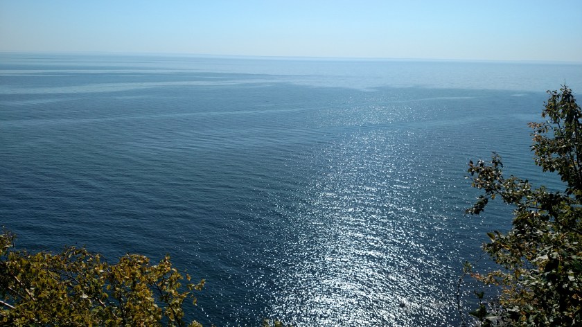
The lake looked pretty much the same regardless of where I stopped.
It amazed me last year when I went through this tunnel through a mountain which runs right up to the lake’s shoreline. The lake starts just to the left of where the people are walking.

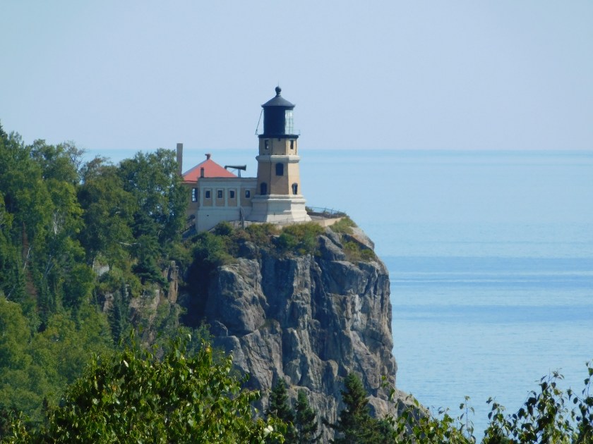
This is the Split Rock Lighthouse, which sits on a cliff overlooking the lake:

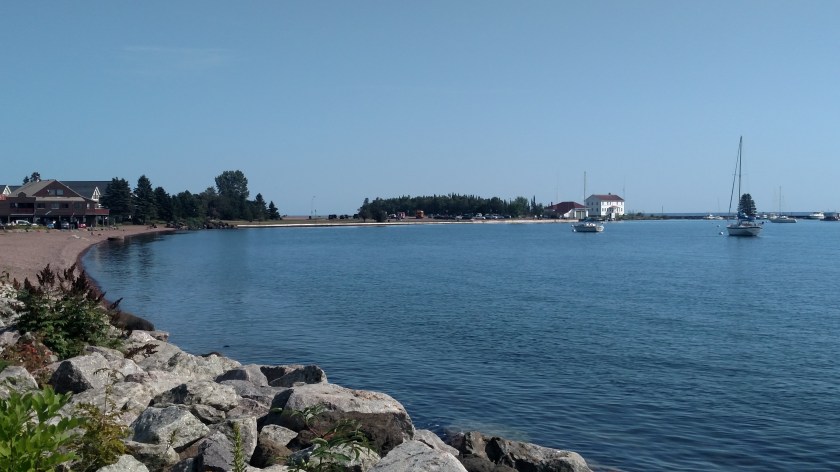
This is a marina further north, I don’t remember exactly where:


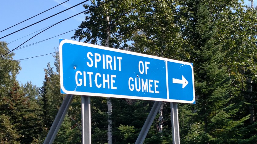
This is something which almost got me in trouble the last time I was here. I was intrigued by the sign but couldn’t figure out exactly what it was directing me to. There was a house a little further up the road but no sign on it indicating it was a museum or gift shop, and there was no one home. I did find a small driveway opposite the sign coming from the other direction. It was initially paved, quickly changed to dirt and then became just two tire tracks in the grass – all leading down towards the lake. When I got pretty far down the hill all I could see was a cabin right next to the shore with no vehicles and no sign that anyone was there. It was all I could do to get the car turned around and get back up the hill to the main road (I was afraid I was going to have to call AAA to perform what would have been my first “extraction”). I got out safely but still don’t know exactly what this sign signifies.
And this is in Grand Marais, near the northern end of the road. The road continues on state land for a while longer, then crosses onto the Grand Portage Indian Reservation where it ultimately ends just past the town of Grand Portage (the road doesn’t actually end there, it crosses over into Canada).
Wednesday I plan to spend most of the day near downtown Duluth.
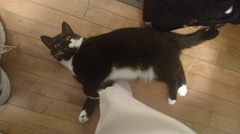
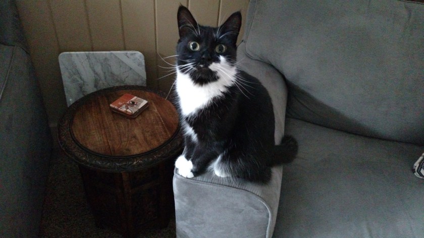
While I was staying at my Airbnb in Bismarck the “co-host” there kept me entertained. Gizmo, who I’m told is a domestic shorthair variety of cat, was a frequent companion while I was there. As soon as she heard me open my door in the morning she came running downstairs to see what I was doing. It was actually hard for me to get pictures of her because she was always so close. I would often sit and let her sit or nap on my lap, but she mainly wanted me to rub under her chin. She came right to me when I entered the house the first time and shadowed me most of the time I was there.
Downstairs (in the guest living room) Sunday morning:
Upstairs, right before I left Monday morning:
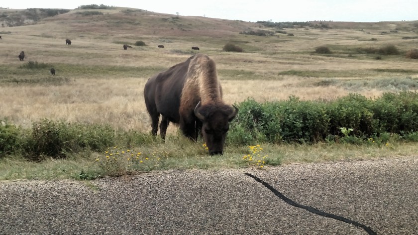
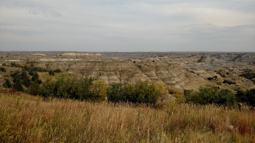
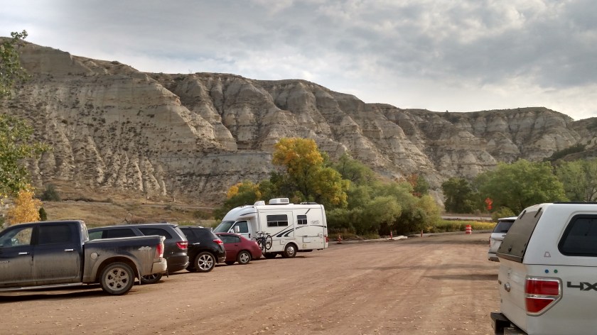
My reward for driving all the way to the end of the 14-mile one-way road in the North Unit of Theodore Roosevelt National Park on Saturday was that that’s where the bison were. Right where the road met the parking lot there several bison had meandered over right next to the road while others remained out in the field behind them. After turning around I waited a short while, then drove around a few cars which had stopped to take pictures. I took these from the relative comfort and safety of my car as I drove slowly around the other cars and stopped briefly to snap each shot.
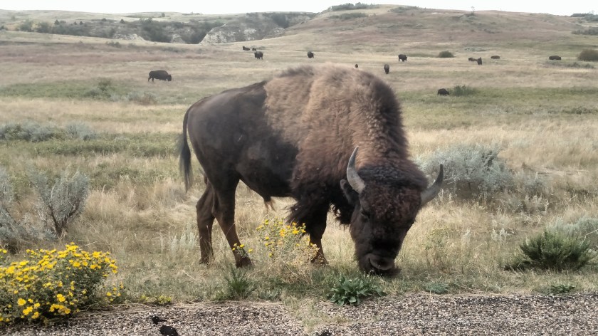
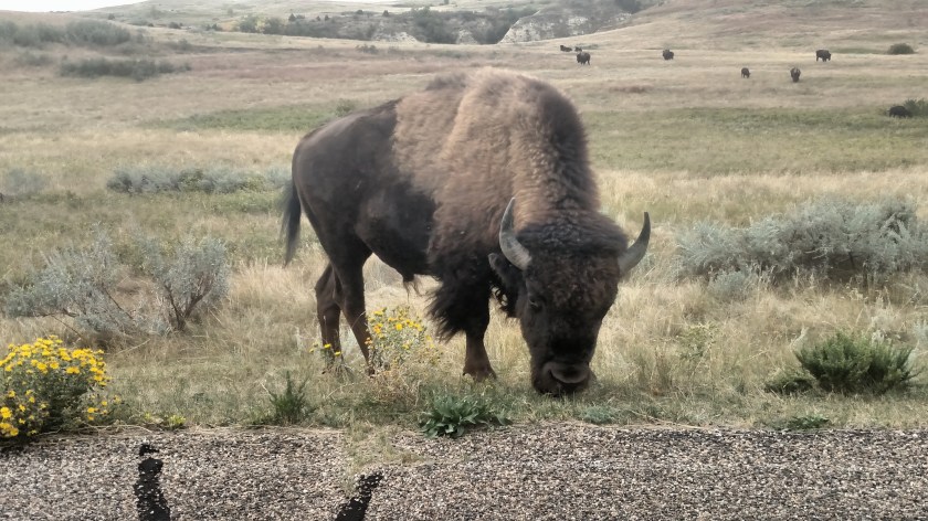

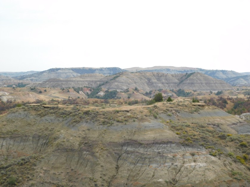
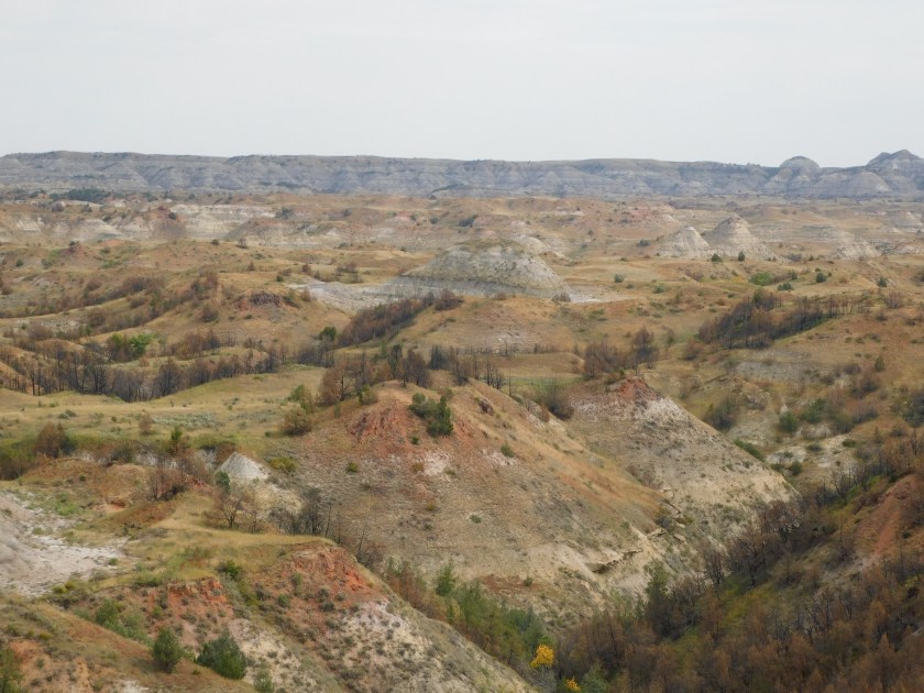
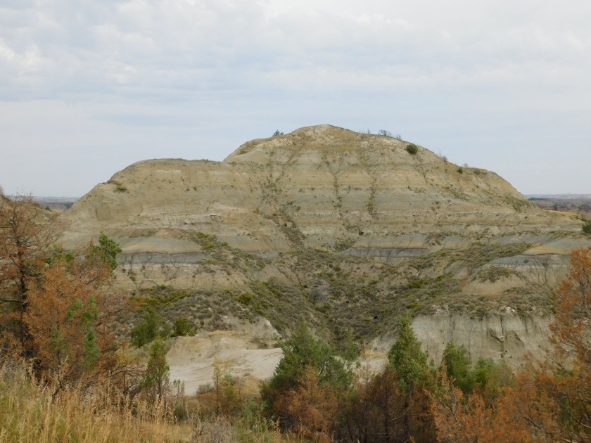
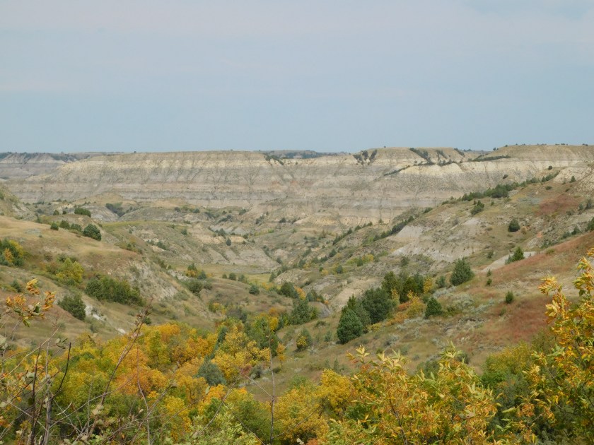
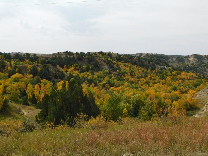
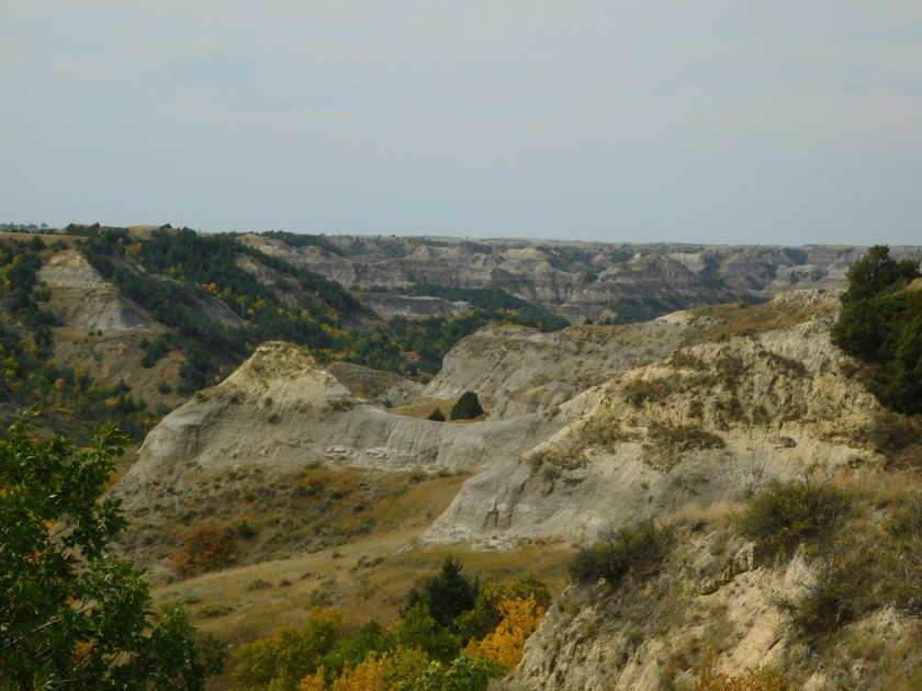
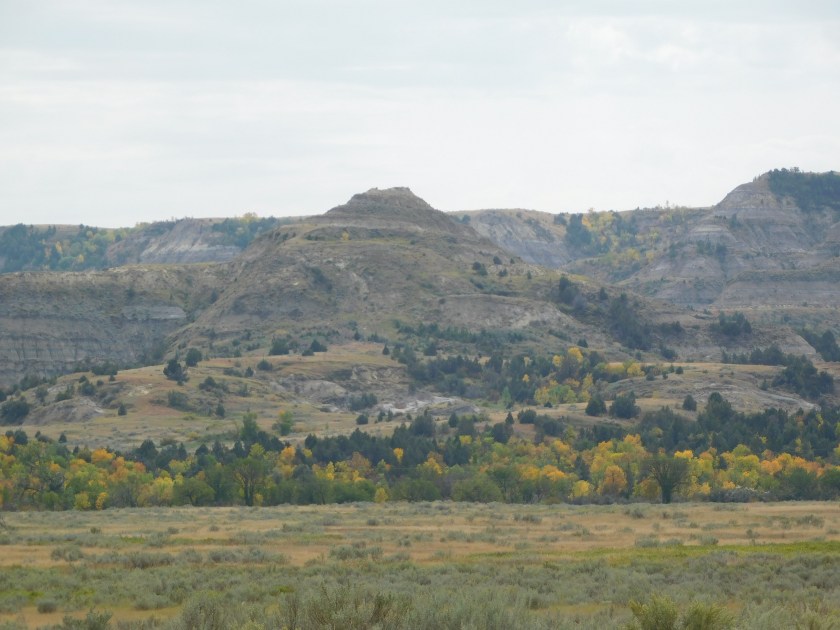
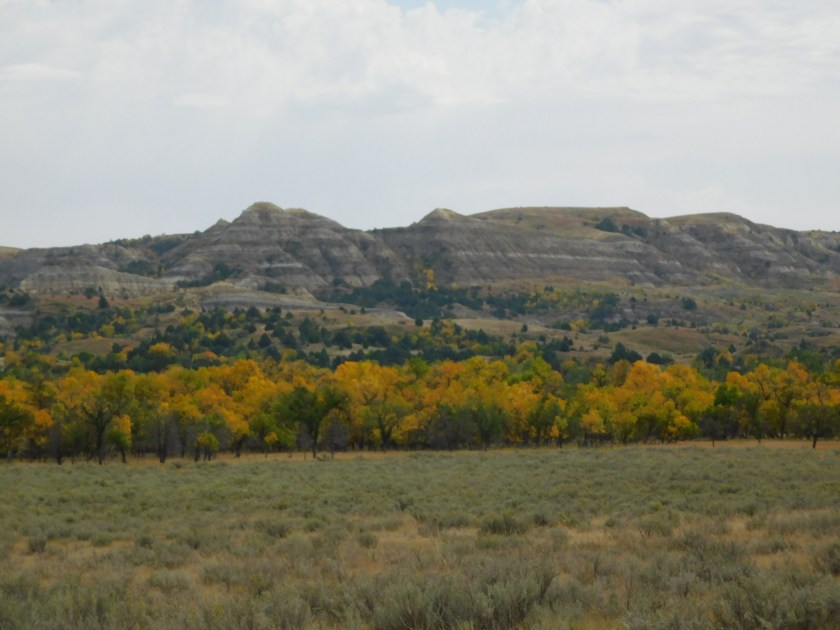
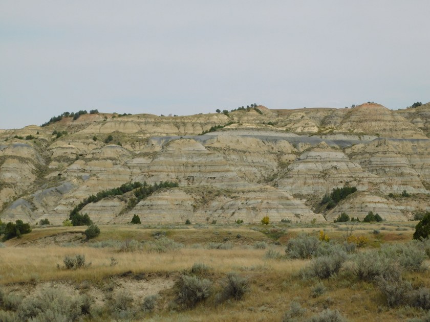
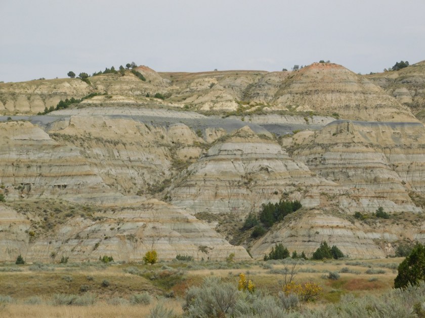
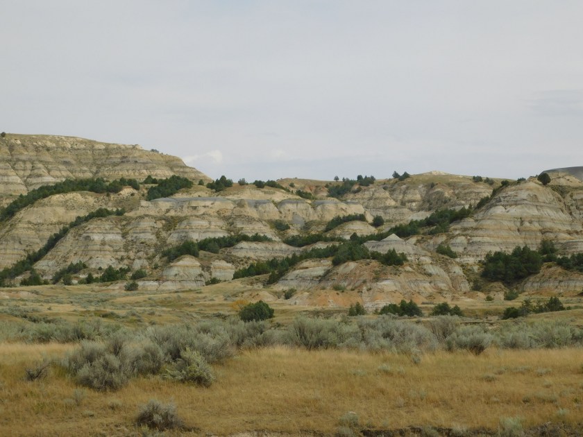
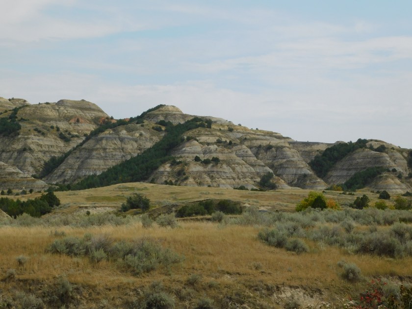
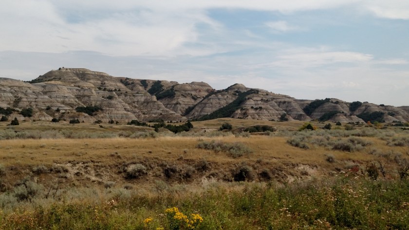
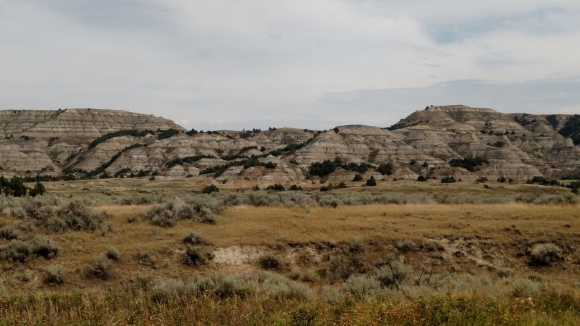
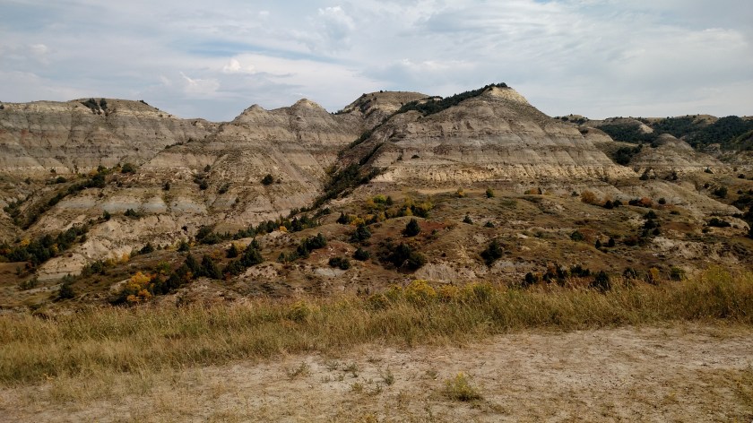
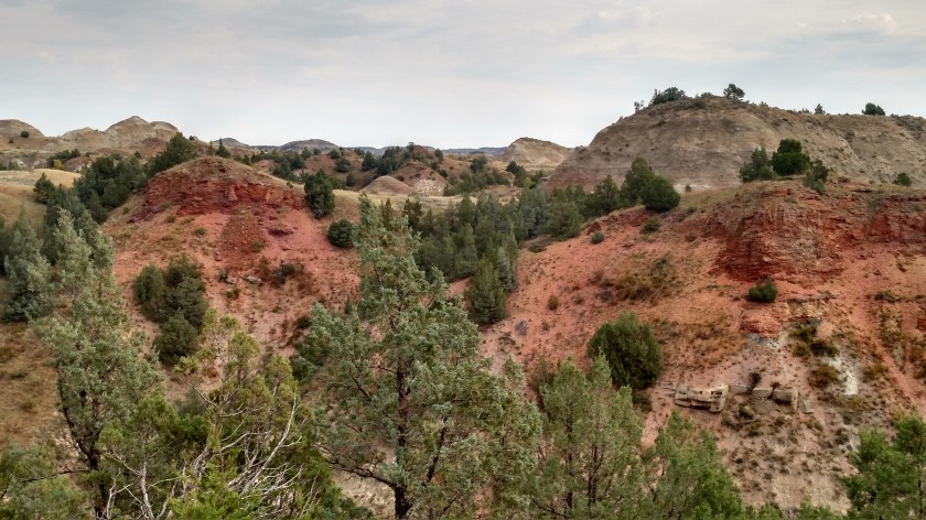
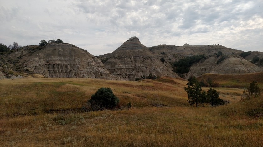
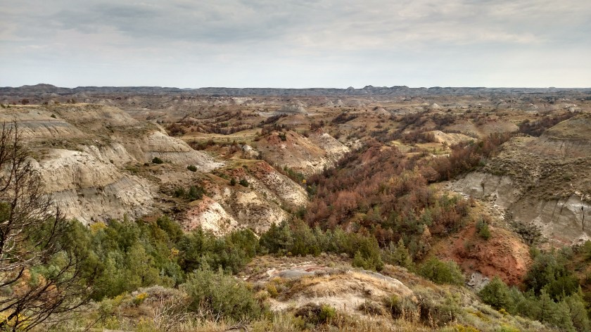
After visiting the South Unit of the Park on Saturday I backtracked 20 miles on the dreaded interstate, then drove north 50 miles on State Highway 85 to get to the “North Unit”. This area had a 14-mile dead-end road through the Park. I ended up taking lots more pictures here than I did in the South Unit. These are all pictures I took with the digital camera.

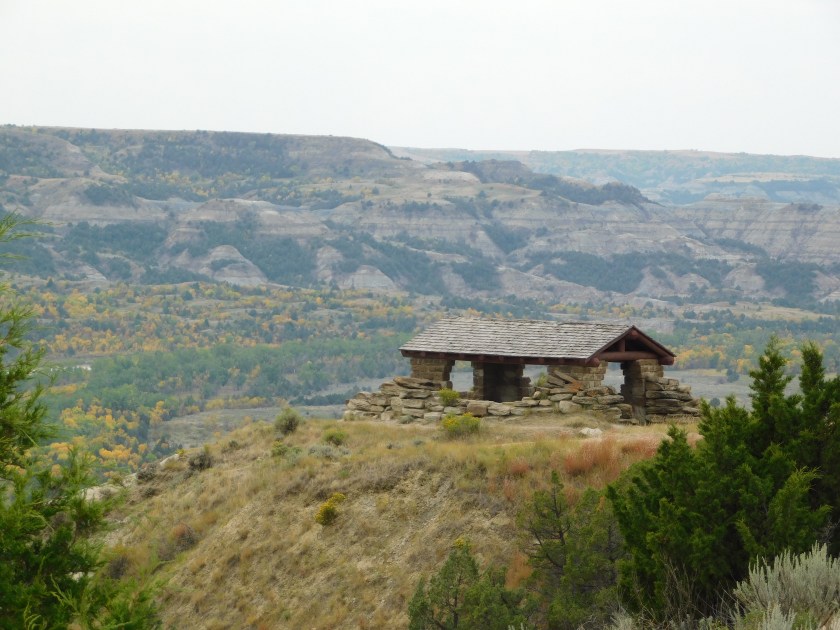

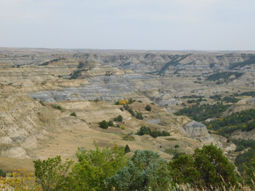
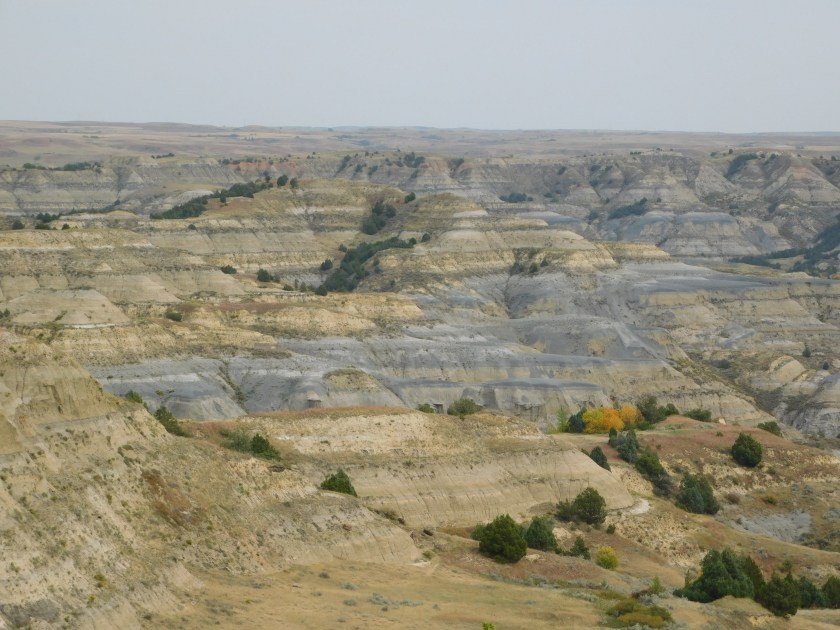
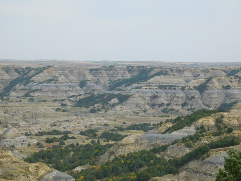
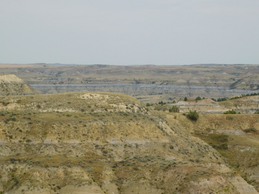
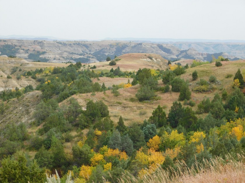
After visiting the South Unit of the Park on Saturday I backtracked 20 miles on the dreaded interstate, then drove north 50 miles on State Highway 85 to get to the “North Unit”. This area had a 14-mile dead-end road through the Park. I ended up taking lots more pictures here than I did in the South Unit. These are all pictures I took with the digital camera.

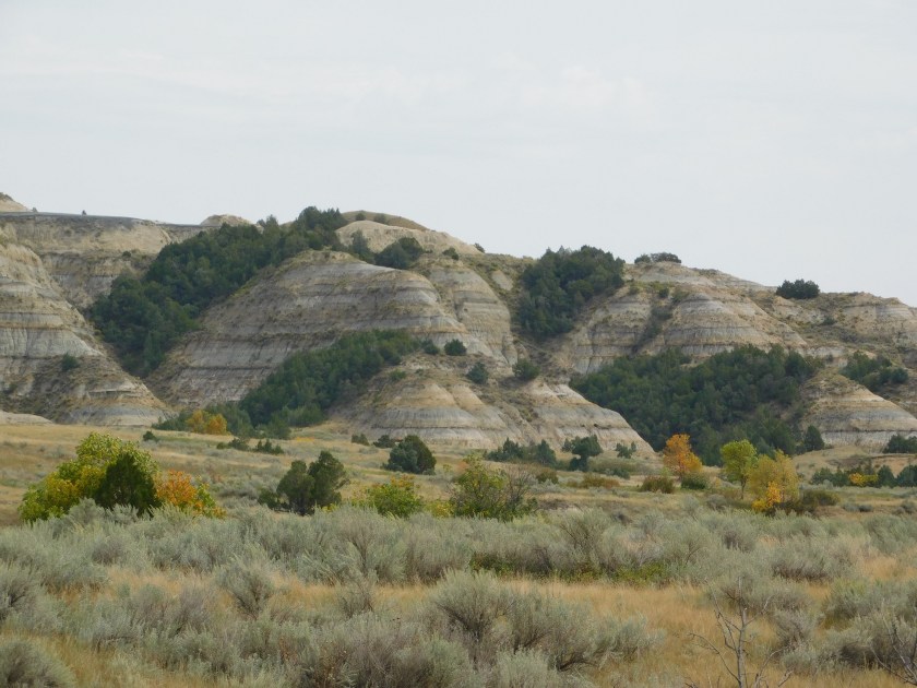
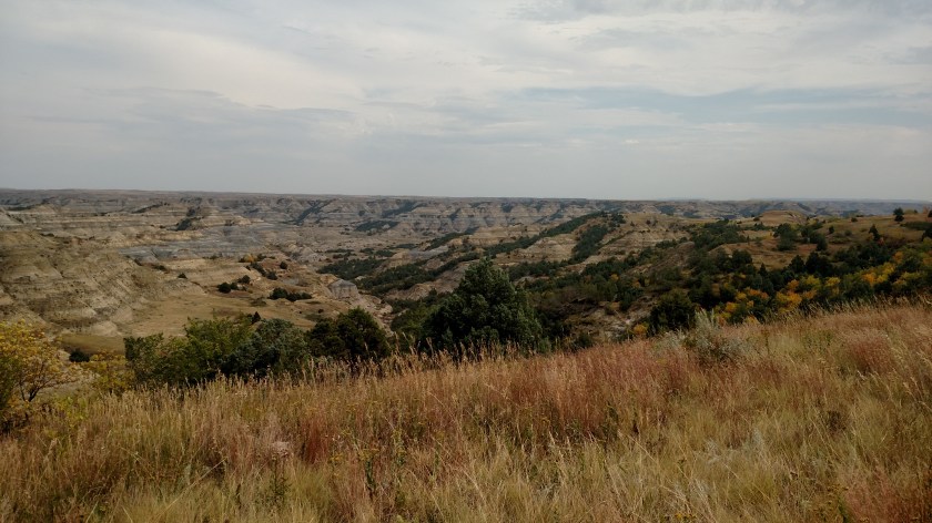
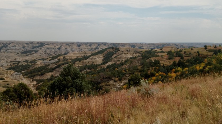
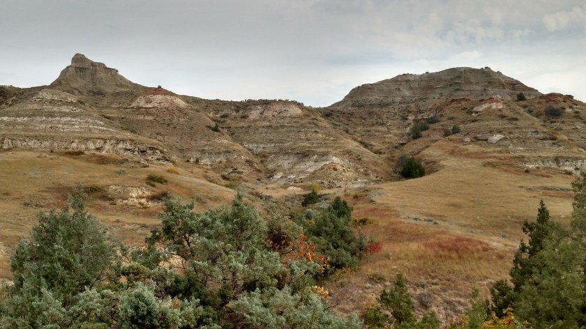
After visiting the South Unit of the Park on Saturday I backtracked 20 miles on the dreaded interstate, then drove north 50 miles on State Highway 85 to get to the “North Unit”. This area had a 14-mile dead-end road through the Park. I ended up taking lots more pictures here than I did in the South Unit. These are all pictures I took with the smartphone camera.

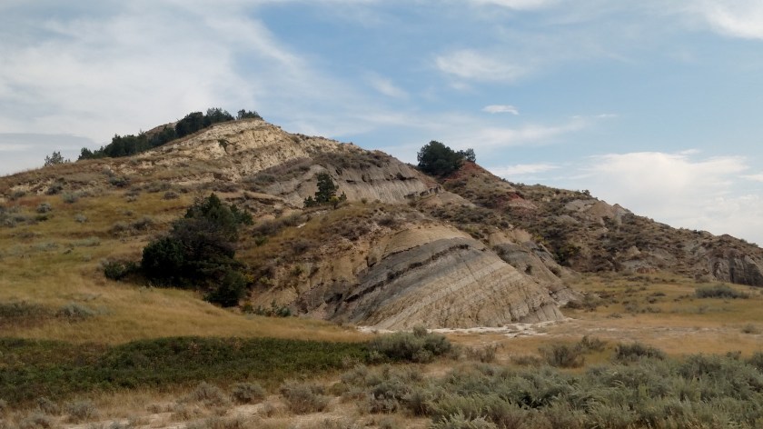


These are photos I took at the “South Unit” (southern portion) of this National Park in southwest North Dakota. These were all taken with my smartphone camera.
The “South Unit” has a road which makes a 36-mile loop through this park of the Park. To see a map of the Park Google “NPS Theodore Roosevelt” and on the main National Park Service site for this Park click on “Maps”.

The rest of these were taken with the digital camera: