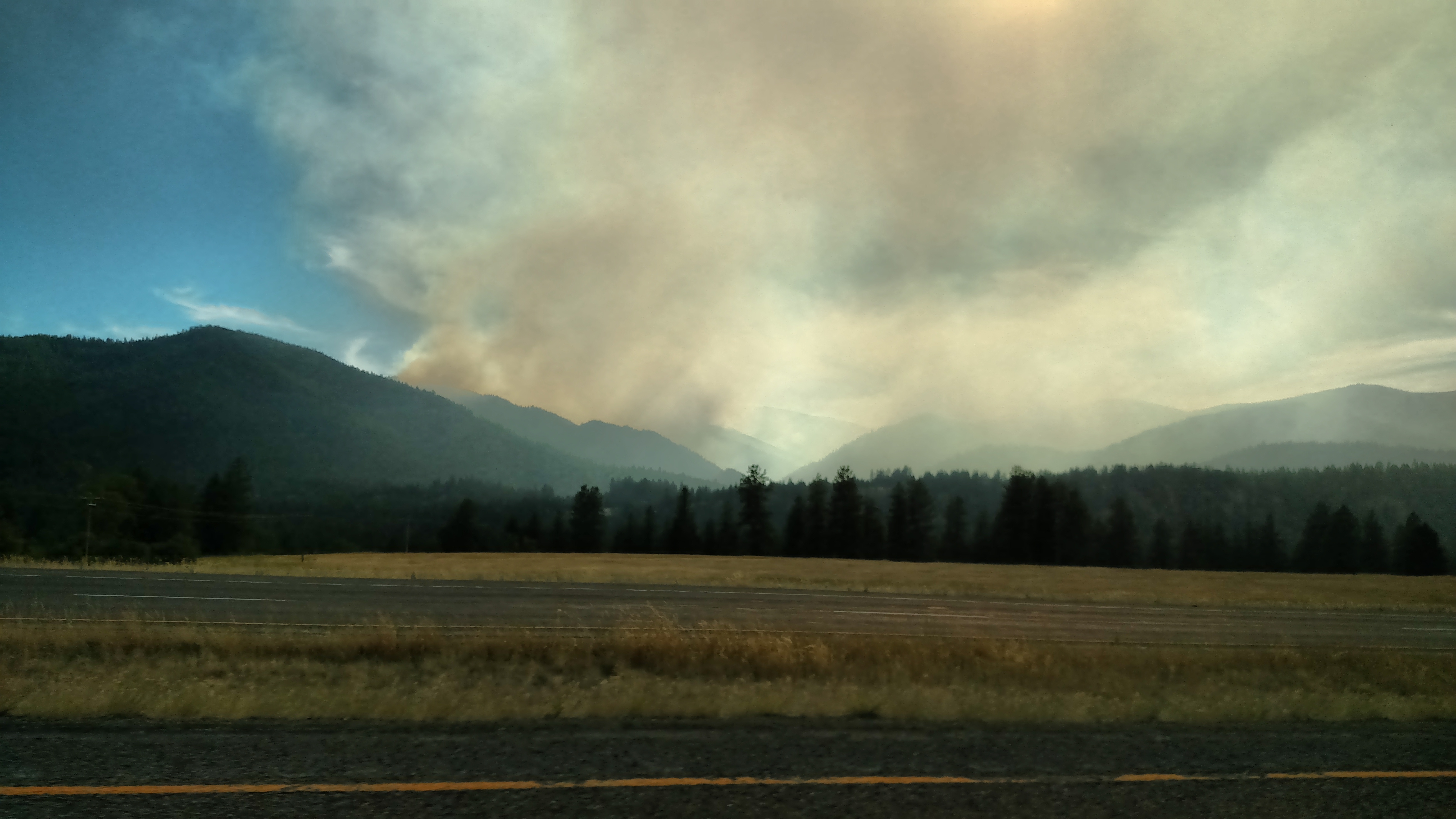
As I was ending my journey today I got on the dreaded interstate in Missoula to drive the 2 1/2 hours back to Coeur d’Alene. Once I got outside of town I could see a big smoke plume drifting north, away from the fire source. This was taken about 55 miles northwest of Missoula, looking south. Once I got a little further up the road I could tell that the fire itself was, thankfully, in an area of only maybe 4 square miles, and much smaller than what you often hear about on the news. I later saw about a half dozen helicopters parked in a field just off the interstate with fuel trucks and personnel nearby. The weather forecast this morning called for a front to come in about the same time as I took this and bring stronger winds overnight, which would be unfavorable for fire suppression.
Day: July 24, 2017
Near Orofino, Idaho
This is actually looking back towards the direction I had just come from. There was another scene I wanted to take pictures of but needed to turn around to go back and find a safe place to pull off the road. Then when I returned to this spot I stopped again to take this. This looked better in person than what you are seeing. Kind of a ripple effect on the side of the hill. These hills are covered with dry grass which, when up close, looks like peachfuzz.
Near Orofino, Idaho
These aren’t big mountains, as I have been seeing so far this trip. These are probably only a few hundred feet in height. What struck me about these was that they were covered with dry, brown grasses which from a distance looked like cloth or felt. I’ve never seen a hillside that looked quite like it.
Lewiston, Idaho
Today was another high mileage day. I made a big, counterclockwise loop from Coeur d”Alene south to Lewiston, then west to Lolo, Montana (just south of Missoula) and then the dreaded interstate back to CDA. The road I was on when I got to Lewiston was quite a bit higher than the town below. The roadway you see in the lower right is a portion of another road which descends to town from where this picture was taken. I stayed on the main road (behind me as I took this) which then went a little further south, then took an exit and started heading east on Highway 12.