Skip to content

johnboystravelblog

  • Home
  • About
  • Contact
  • Twitter
  • Facebook
  • Google+
  • GitHub
  • WordPress.com

Run Forrest, Run

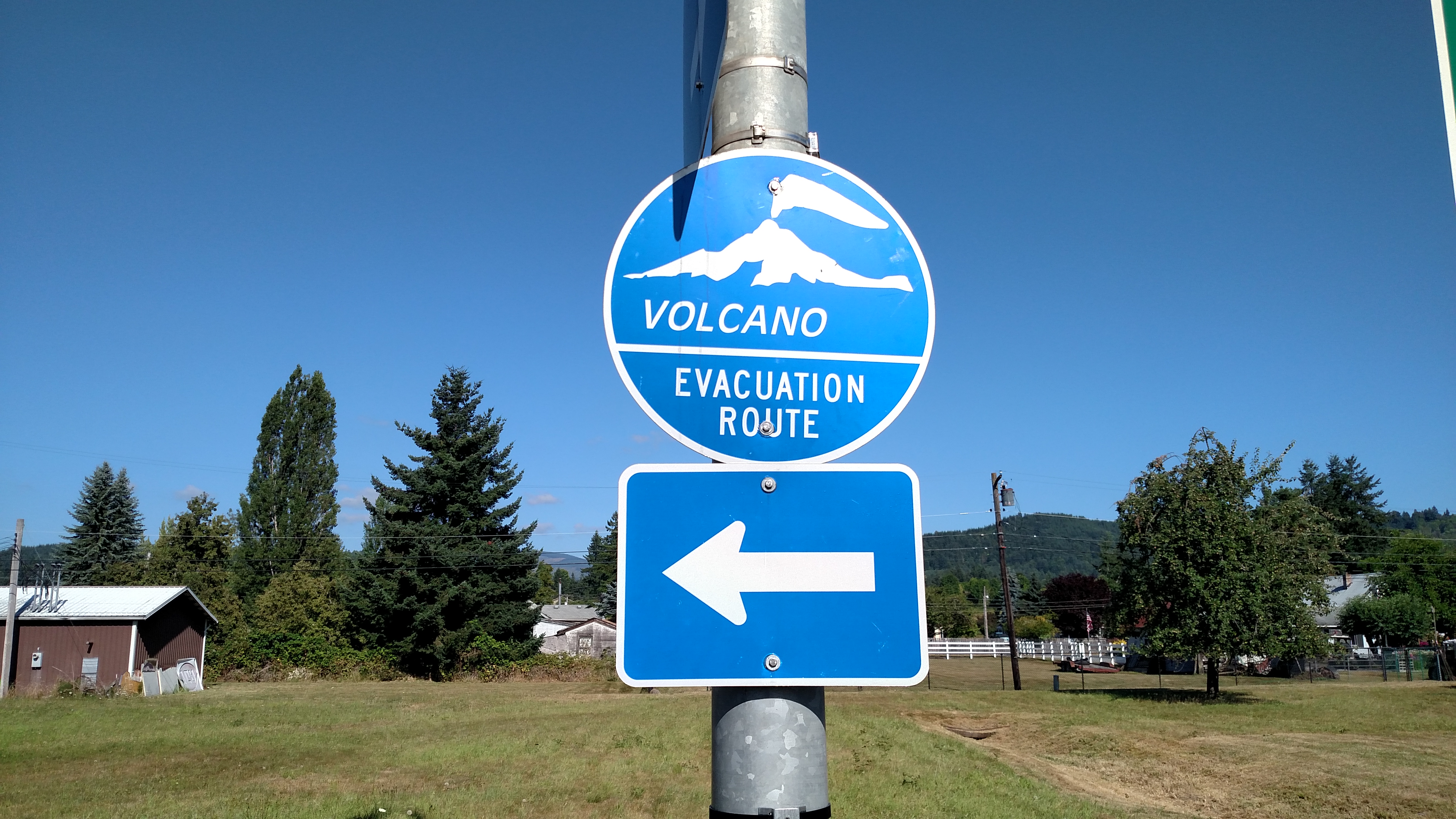
Most of us have probably seen hurricane evacuation route signs.  These caught my attention as I was driving around the area.

If Mount Rainier ever decides to blow it’s top (it is an active stratovolcano) I think it will be “Goodnight, Irene”.

Share this:

  • Share on X (Opens in new window) X
  • Share on Facebook (Opens in new window) Facebook
Like Loading...

Related

Unknown's avatarAuthor amazingmrdPosted on July 28, 2017July 28, 2017

Post navigation

Previous Previous post: Mount Saint Helens
Next Next post: ComSat Earth Station near Omak, Washington

Recent Posts

  • Prince Rupert – Day 2 April 24, 2026
  • Prince Rupert, BC April 22, 2026
  • Telkwa, BC to Prince Rupert, BC April 22, 2026
  • Whitehorse, YT April 20, 2026
  • Skagway, Alaska April 17, 2026

Text Widget

This is a text widget. The Text Widget allows you to add text or HTML to your sidebar. You can use a text widget to display text, links, images, HTML, or a combination of these. Edit them in the Widget section of the Customizer.

Enter your email address to subscribe to this blog and receive notifications of new posts by email.

Join 25 other subscribers
July 2017
M T W T F S S
 12
3456789
10111213141516
17181920212223
24252627282930
31  
« Jun   Aug »
  • Home
  • About
  • Contact
  • Twitter
  • Facebook
  • Google+
  • GitHub
  • WordPress.com
johnboystravelblog Blog at WordPress.com.
  • Reblog
  • Subscribe Subscribed
    johnboystravelblog
    Join 25 other subscribers

    Have a WordPress.com account? Log in now.

  • johnboystravelblog
    Copy shortlinkView post in Reader
    Manage subscriptionsSign upLog in
    Report this content
    Collapse this bar
Loading Comments...
%d