Yakima Canyon, Washington


IMG_0042

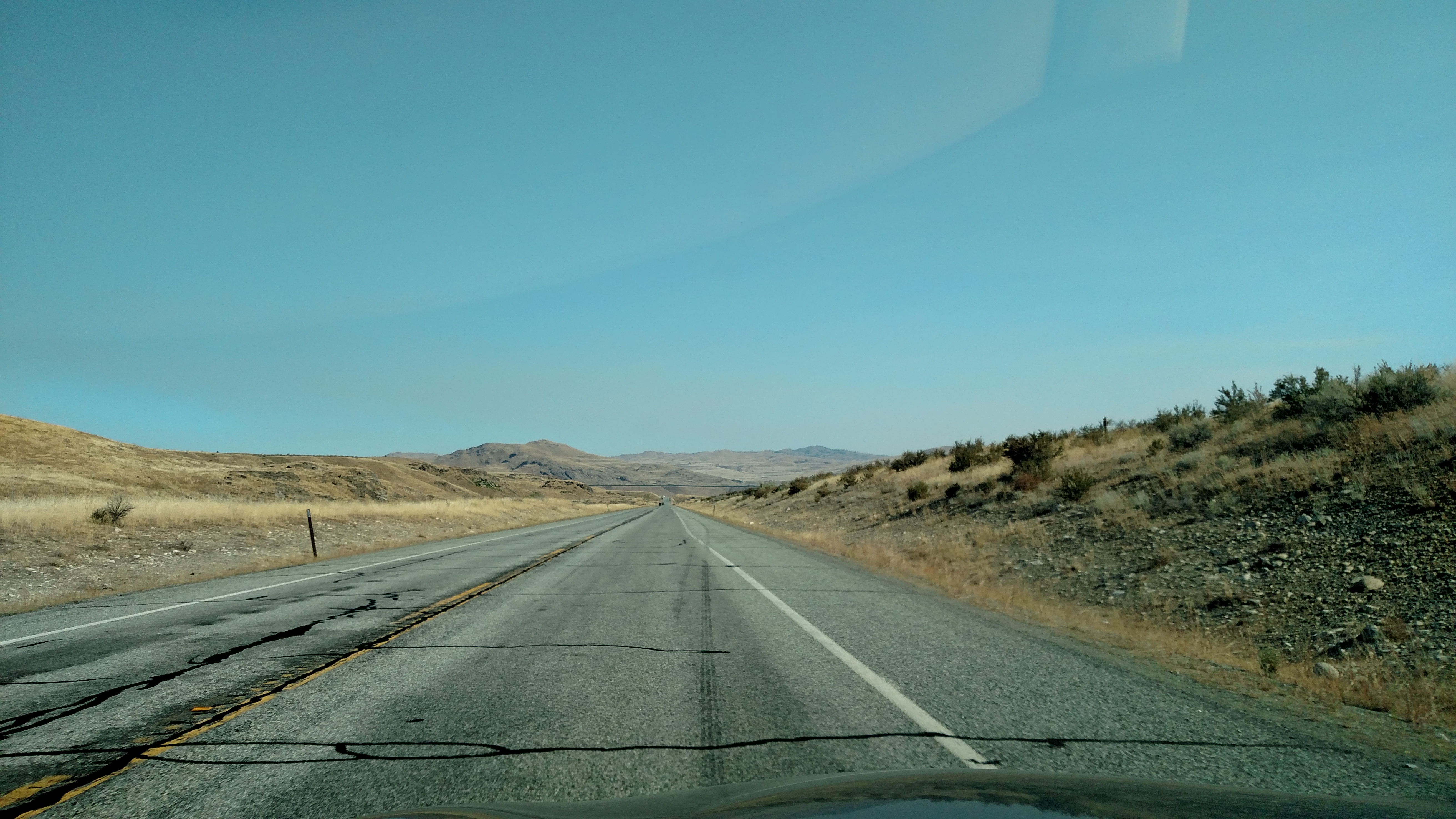
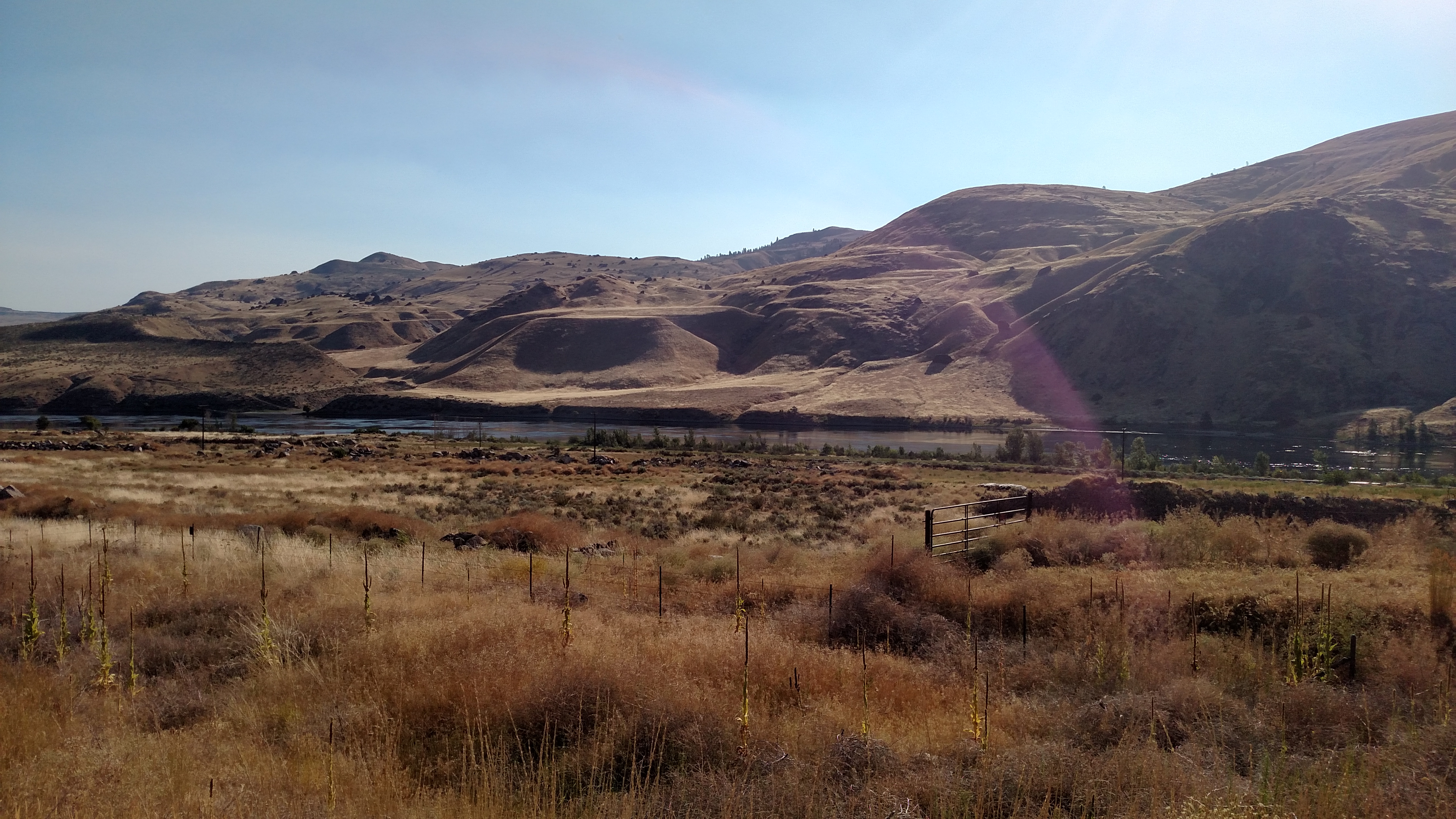
As I traveled south from Leavenworth to get to my first “official” set of scenic roads for the day I took some other scenic back roads and passed through Yakima Canyon.  I took the top picture with my cell phone camera, which is how all the other pictures you have seen thus far were taken.  When I stopped to take a picture of the river I saw a guy walking back to his truck (if you have good eyes you can see him on the left side of the picture, wearing a maroon shirt).  He was carrying a camera with a very substantial zoom lens.  He had been taking pictures of a bald eagle, apparently bring food back to her young’uns in the nest.

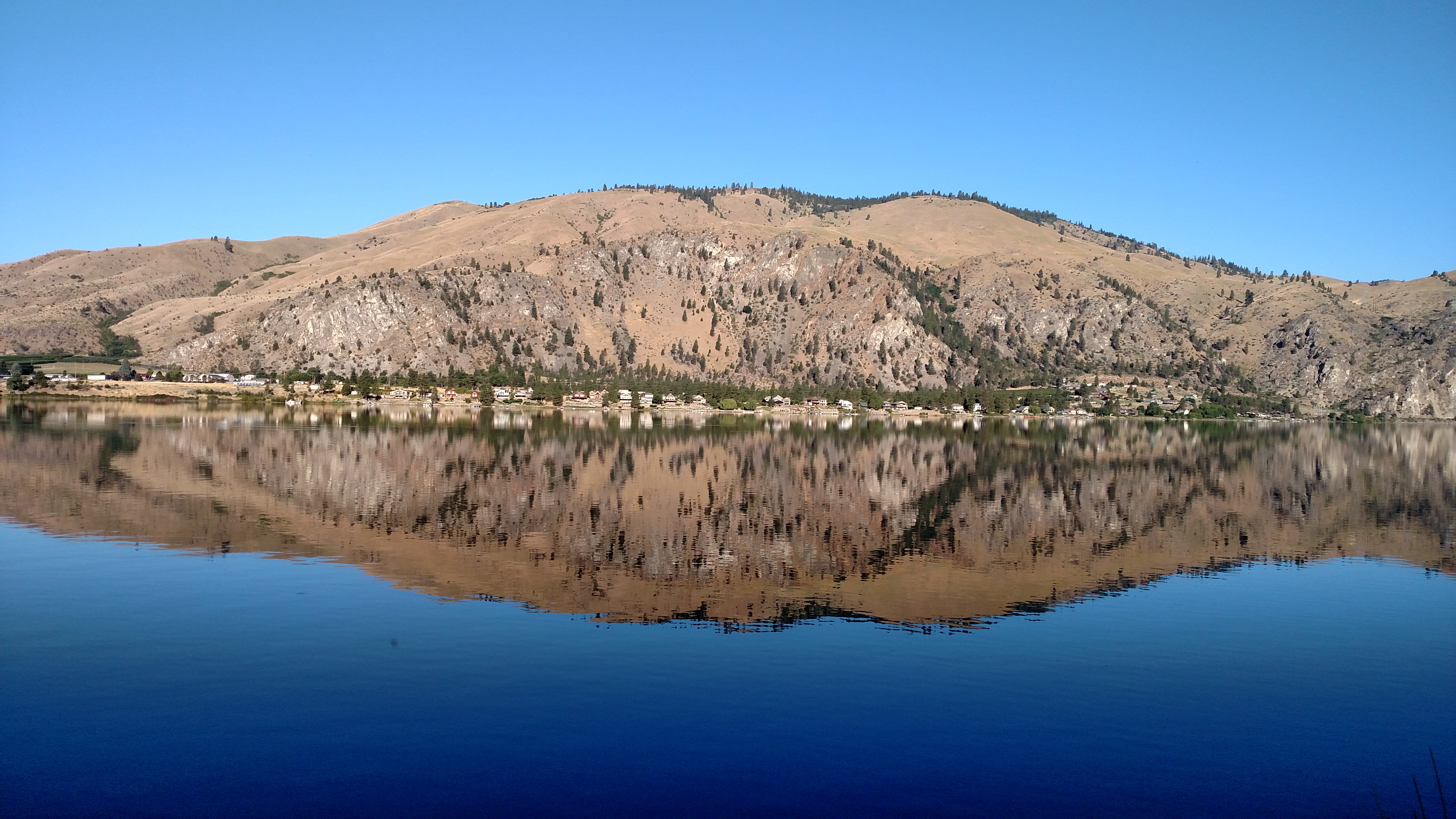
I am particularly pleased with how well the bottom picture turned out.  I took it with my new Canon digital camera with a 0-50x zoom lens.  I bought it while I was in Bozeman, Montana but it has taken me a few days to get it operational and figure out how to transfer the pictures to my computer.  It has wi-fi capability (ain’t technology great?).

I bought the camera primarily to help take better wildlife pictures and it looks like it is up to the task.  I’ll be posting some comparison pictures in the coming days.

By the way, the nest was in the rightmost tall tree on the left of the first picture.  I had driven further up the road but was still pretty far from the tree.  My cell phone camera wouldn’t even come close to this!

Leavenworth, Washington

I passed through this town on the way back to Wenatchee yesterday and decided to go back this morning to take a few pictures.  Leavenworth is only about 20 miles from Wenatchee and has a Swiss/Bavarian theme.  I have now been to several towns like this in various parts of the country. They are all very charming and picturesque.

I stopped by here again on the way home tonight (it was on my route anyway) and had dinner, which included the best sauerkraut I have ever eaten and, of course, a cold Rainier beer!


Mount Baker, Washington

These were taken from Artist Point, the highest place they let you drive to.  The top photo is of Mount Baker (elev. 10,781 feet, the highest peak in the distance) which is quite a ways from where I was standing.  The bottom picture is looking the other direction towards, I believe, Mount Hermann (elev. 6,286 feet) which is a lot closer.

When I finished looking around and taking pictures up at the peak of the mountain I was on I drove back out to Interstate 5 (which I only took in the interest of time) and headed south to Snohomish, Washington.  From there I took Route 2, my third scenic road of the day, east through about 70 miles of several consecutive National Forests and Wilderness Areas and back home to Wenatchee.

Today concludes three weeks on the road.  10,214 miles so far this trip!

Mount Baker Scenic Highway


When I reached Sedro-Woolley to the west of North Cascades National Park I turned north to head up near the Canadian border (not a long drive…).  From the town of Deming I took Mount Baker Scenic Highway back east towards the northern part of the Park.

These photos are from the road leading up to the Visitor Center and ski areas which are located up over 5,000 feet.  I’m not sure exactly which range you are seeing in the lower picture.  With all the twists and turns the road took it was hard to keep my bearings!

The Visitor Center and ski areas are actually located in the Mount Baker National Recreation Area, not North Cascades National Park.

Back to the big mountains

I saw a different shade of green today – the dark green of pine trees.  Washington’s motto is “The Evergreen State” which I didn’t know until I noticed it on their license plates today.

The top picture is of Early Mountain Spires (elev. 7,807) as I approached North Cascades National Park.  The bottom picture is looking back from Washington Pass towards an area I had just driven through.

North Cascades is another one of the lesser-known National Parks.  Unless you are a hiker (which I am not, if I were this trip would take forever!!) there is only one main road through the center of the Park.  The Park is oriented north to south, whereas the road cuts through it east to west.

Twisp, Washington

I had to get this little town in.  What a cool name!  The only thing more fun would be if NASCAR driver Greg Biffle were from this town (which he isn’t, he’s from Vancouver, Washington).

Twisp was near the beginning of the first of today’s three scenic roads.  From Twisp I headed west towards Sedro-Woolley, Washington on Rte 20.

This is why green was a welcome sight


Not everywhere I’m driving is quite this desolate, but this should give you some idea why driving in to the nice residential street in Coulee Dam yesterday was such a welcome relief.  This was only about an hour north of Wenatchee.  Once you get out of town things turn brown pretty quick.  But it wouldn’t stay that way for long today…