California Route 88

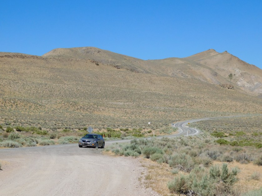
These were taken Sunday, June 24 as I drove one of two scenic roads north of Sonora, CA where I was staying last week.  I opted not to go to Yosemite National Park until Monday and, instead, drove northeast about 80 miles on Route 4 (one of my primary scenic roads) and then went further north and traveled southwest on Route 88.  I already posted a few pictures from Route 88 from when I drove northeast on it later in the week.

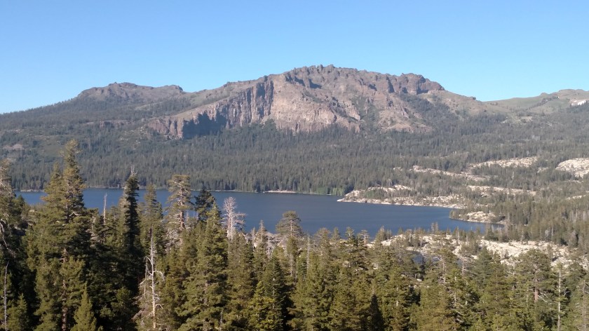
This is near the Kirkwood Resort, just north of Caples Lake:

IMG_20180624_172712024

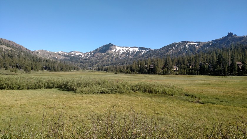
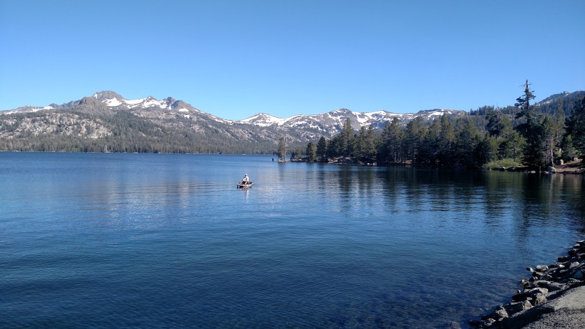
This is Caples Lake (actually a reservoir), near Kirkwood, California:

IMG_20180624_171254479

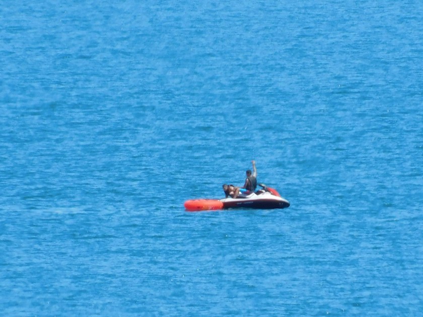
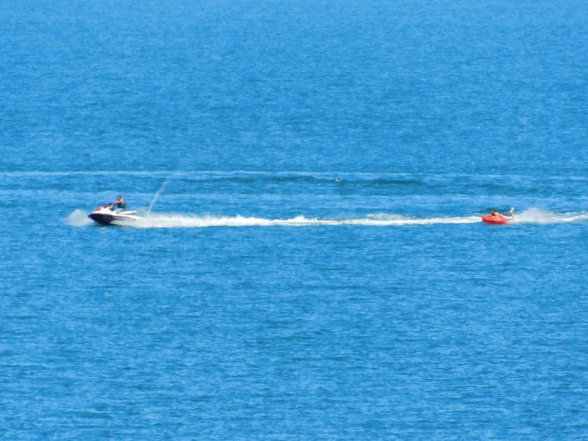
This is the same lake but from a different angle, once the road curved around it.  This is the guy in the boat I posted two pictures of on Monday last week using my phone when I couldn’t get my computer to connect to my Airbnb host’s wifi network.  This lake contains a variety of trout and some young people were fishing along the shore just to my right as I was taking this photo and had caught some.  I don’t know if the guy in the boat was having any luck, as he was on the move…

IMG_20180624_171947775

IMG_20180624_172705584

IMG_20180624_173031742

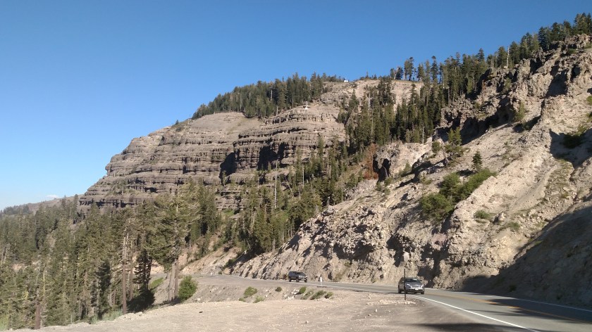
This was looking north from the highway as the road climbed to a high elevation near a ski area close to the town of Kit Carson:

IMG_20180624_173051711

This is Silver Lake, which I posted some pictures of a few days ago.  This was the first time I had driven past it and this was in the late afternoon so the sun was illuminating the western face of Deadwood Peak.

IMG_20180624_174108977

These are photos of New Melones Lake as I was getting close to home (now on Route 49) near Sonora Sunday evening:

IMG_20180624_193320732

IMG_20180624_193339244


Sunday – North of Sparks, Nevada

I left the house at 9 o’clock Sunday morning and headed north on Route 445 – one of my primary scenic roads.  After getting over the excitement of spotting a wildfire southwest of Reno which had been reported less than two hours earlier I saw these things as I drove north:

IMG_20180701_094856752

IMG_20180701_094933662

IMG_20180701_100650085

IMG_20180701_101023594

IMG_20180701_101247884

There is a big house in front of the mountain in the photo below:

IMG_20180701_101458313

IMG_20180701_103356348

IMG_20180701_104607977

IMG_20180701_104622698

I just checked the InciWeb website again (927pm Pacific Time) and there is no new update on the Evans Fire.  I will check it first thing in the morning before I head to Lake Tahoe.

Pyramid Lake

After I had driven north on scenic Route 445 I went over the top of a hill and Pyramid Lake was laid out before me:

IMG_20180701_105146277

IMG_20180701_105150231

The lake is huge, 188 square miles, and the surface is at an elevation of 3,796 feet.

DSCN2493

DSCN2496

DSCN2532

IMG_20180701_111758802

As I drove around the southern tip from west to east I could see areas where people were camping or hanging out along the shore and many folks were in the water engaged in a variety of activities:

IMG_20180701_111017779

DSCN2520

DSCN2527

DSCN2540

DSCN2541

And here I was, taking it all in from up by the road:

DSCN2516