The Shasta Trifecta

This morning I decided to drive from Redding, CA up to Shasta Lake – a very short drive on a nice scenic road.  When I got there I could get three Shastas all in one photo:

IMG_20180717_151359503

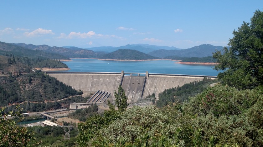
In the foreground in the Shasta Lake Dam.  Behind it, as you have probably guessed, is Shasta Lake (or Lake Shasta, as some prefer).  And way off in the background (above and slightly left of the 5 pipes on the left side of the photo) is Mount Shasta.  I left my digital camera in my backpack back in town so I had to go get it and drive back up here in the afternoon to get these closeups of the mountain:

DSCN3505

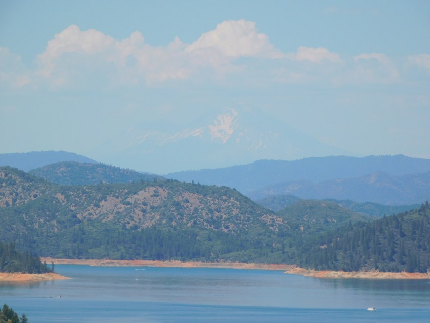
The white cloud kind of sticks up above it, emulating the peak.

DSCN3512

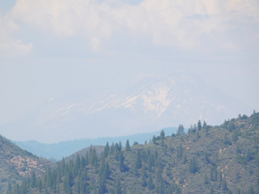
The surface of the lake is at 1,067 feet elevation.  Mount Shasta tops out at 14,180 feet, which is one reason why it still has snow on it on July 17th!

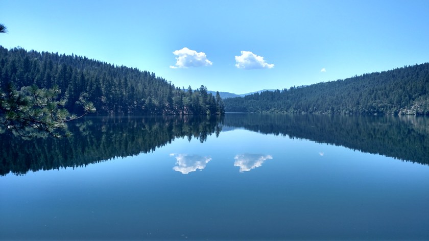
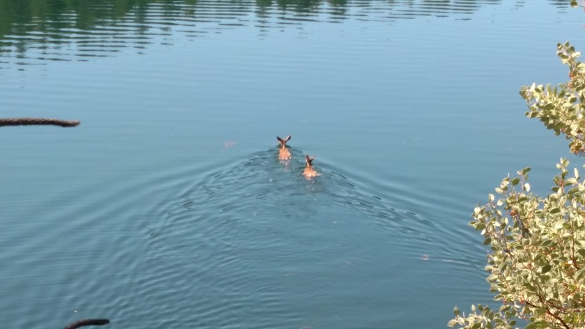
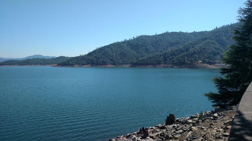
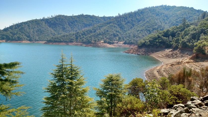
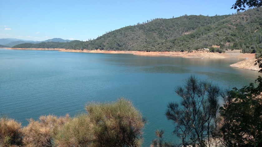
Here are some more photos of the lake, some taken this morning and some this afternoon.

IMG_20180717_100354440

IMG_20180717_101052560

IMG_20180717_101209628_HDR

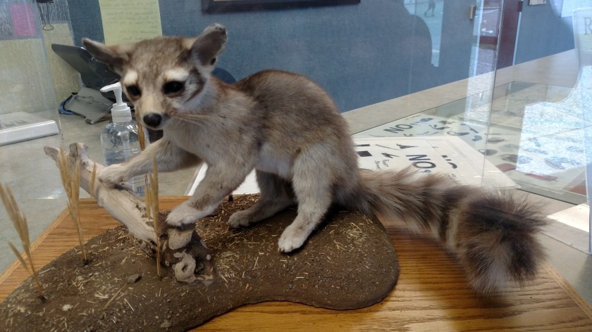
This little guy (stuffed) was in the Visitor Center.  It is a Ringtail Cat.

IMG_20180717_101955490

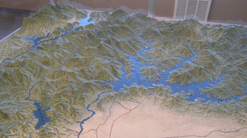
They also had this 3-D map showing the three lakes in the area I’ve been to see – Whiskeytown, in the lower left hand corner, which I stopped at briefly on my way in to town yesterday, Shasta, in the right half of the photo, and Trinity, in the upper left corner, which I will make another post about.

IMG_20180717_103018627

They also had some awesome Osprey pictures taken by a local photographer.  I am reaching out to her to get permission to post some of her amazing pictures (I’d rather post from her website than the pictures-of-pictures I took).

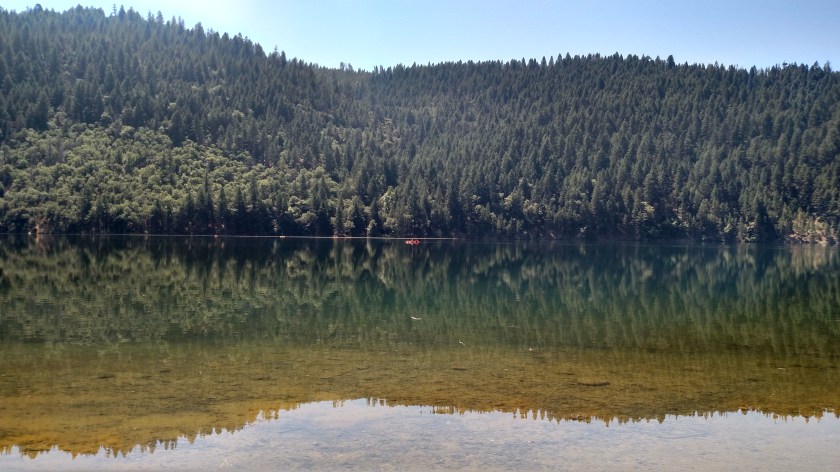
I took these photos of Shasta Lake this afternoon when I returned with my digital camera.

IMG_20180717_152845355

IMG_20180717_152851916

The Dam took four years build, employing 3,500 men working in shifts, 24-hours a day.  The first yard of concrete was laid on July 8, 1940.  A conveyor belt 9.6 miles in length was constructed between Redding (where I’m staying) and the lake which at the time was, and may still be, a world record.  It was used to transport 12 million tons of sand and gravel for construction of the Dam.

Damn!

Right place, right time…

… or just chalk it up to dumb luck.

I went for a drive on a scenic road west of Redding this morning and turned on a small road (because there was a directional sign to my destination) which was actually several miles before the one I intended to take.  I stopped and looked at my map and it appeared they would both get me where I was going so I stayed on the “wrong” road and decided I’d come back on the other, more major, route.  It’s a good thing I did that or you wouldn’t be seeing these next photos.

I already posted one “mirror image” picture earlier today (prior post, “From the walking path along the river”).  Well, as I was driving north on this small road, headed for Trinity Lake, I got a brief glimpse of another body of water off to my right.  I turned around and went back to “Cooper Gulch” and this is what I saw after I went down to the parking area:

IMG_20180717_114646819_HDR

Further up the road there was a tiny fawn in the road (it still had lots of spots), standing in my lane.  I stopped and let it run into the woods (and after I drove past I saw Momma deer cross the road too).  Shortly after that I stopped at a pullout area because I saw a lone kayak out on the lake and wanted to get a picture.  While getting in position I looked down towards the lake and saw this – a first for me.  Two deer “swimming” out into the lake!

IMG_20180717_115311785

They appeared to be adult does and weren’t panicked, just taking a leisurely swim (although they probably started because they heard me pull off onto the gravel).  I was surprised they made such good forward motion with their skinny legs (unless they remembered to pack their little deer-flippers).

IMG_20180717_115334178

And Mr. Smiley-pants JohnBoy left his digital camera in his backpack at the Airbnb in Redding so I had to drive further up the road to be able to see the kayak in the smartphone picture (red, in the center of the photo):

IMG_20180717_115705112_HDR

Clearly it’s “mirror image” day here on the blog!

The Sundial Bridge

It is 718am local time here in Redding CA and I am sitting here looking up at the Sundial Bridge.

This was before I walked across it.

The bridge spans the Sacramento River.

The gnomon (I think that’s Latin for “pointy-thing”) casts a shadow which can then be used to tell you what time it is.

IMG_20180717_070235984

Those markers are in 15 minute increments along the shadowy path of the gnomon (about 5 1/2 paces apart).  You can see three of them in the next photo (only whole hours are on raised platforms).

This is my view as I am uploading this post.