Thursday – Various places

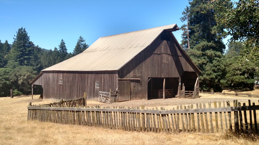
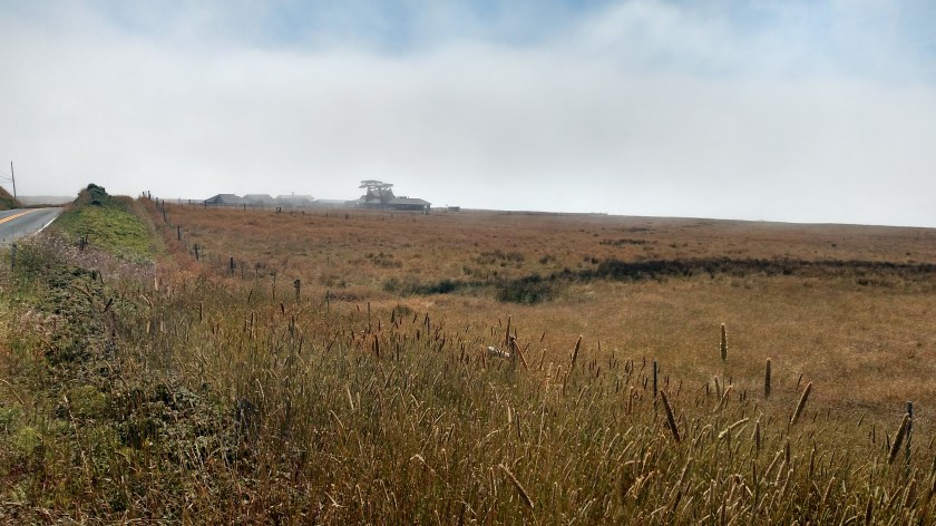
I took a shorter route to get out to the coast Thursday morning, not knowing what the conditions would be like when I got there.  I updated the post I made yesterday regarding the “Thank You” sign to include a photo of the area which recently burned which is only two and a half miles from the thankful woman’s house.

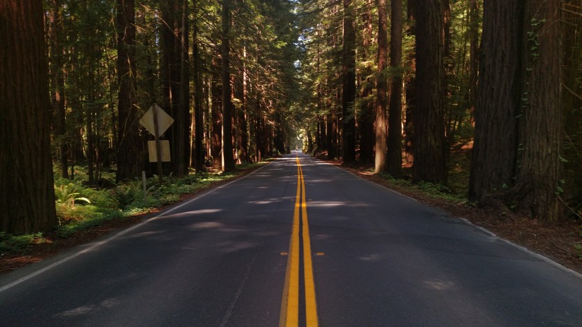
I also drove through the same grove of redwood trees, but stopped to take a photo of the road through them.  This is actually Navarro River Redwoods State Park, a few miles southeast of Mendocino:

IMG_20180712_110603099

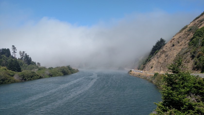
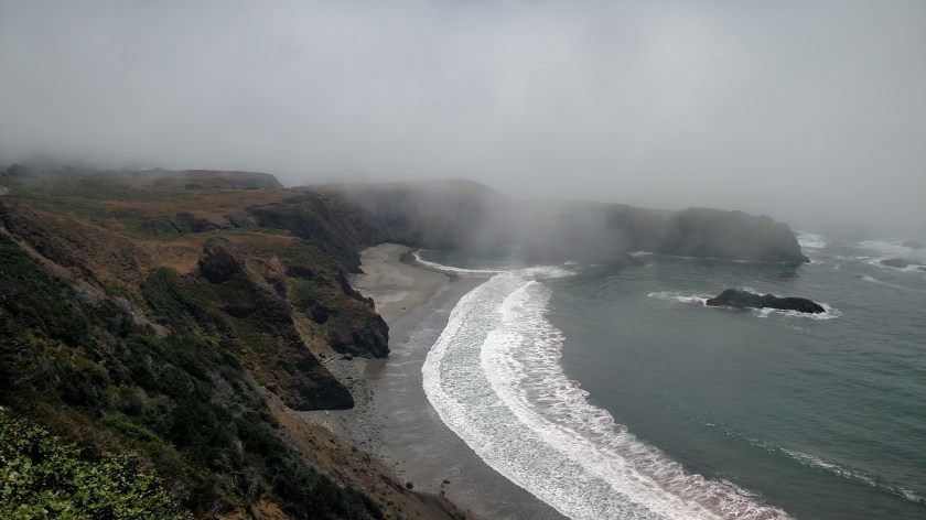
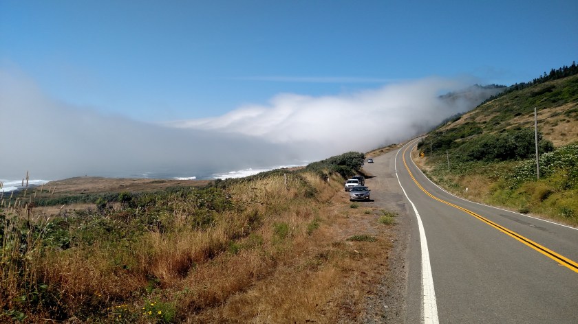
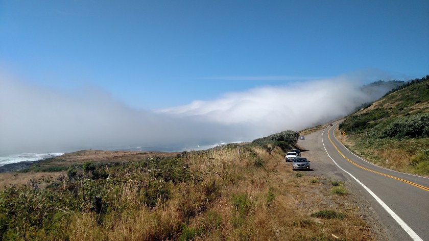
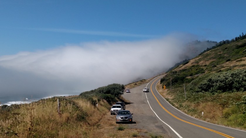
When I got to the bridge where the road I was on ended and merged with Route 1 the scene was much better than it was the day before.  Yesterday the area beyond the white vehicles on the right was totally obscured by fog:

IMG_20180712_112253267

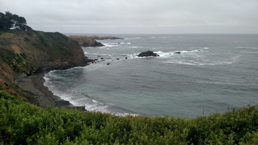
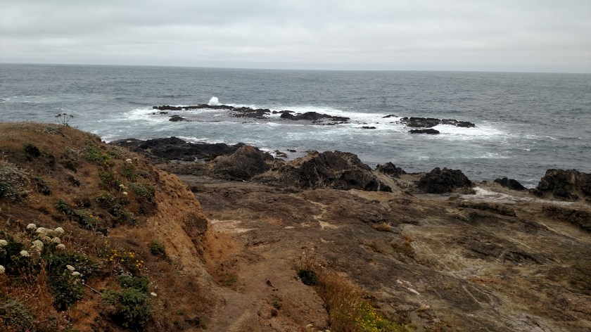
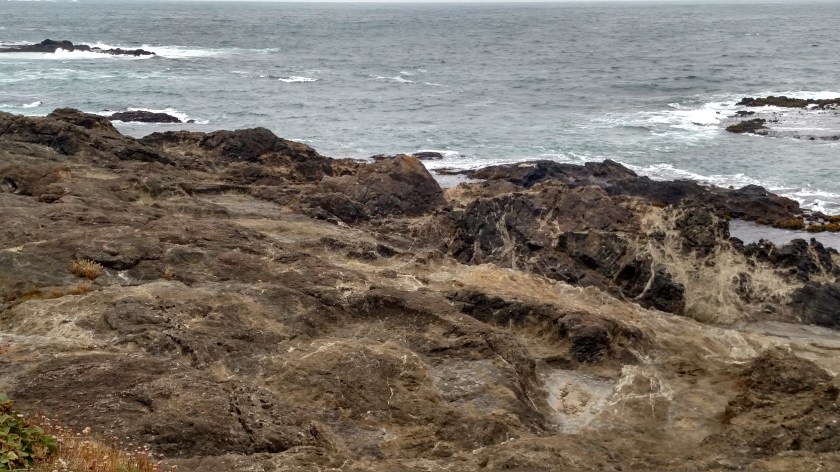
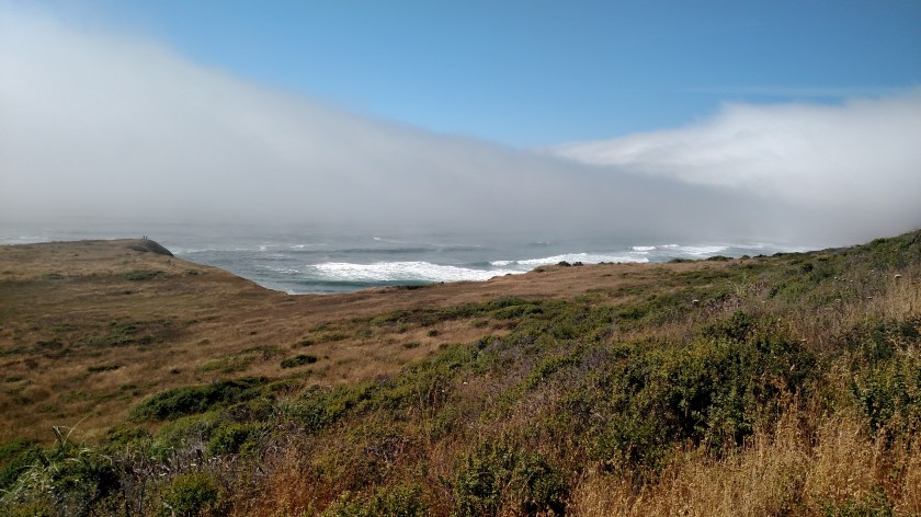
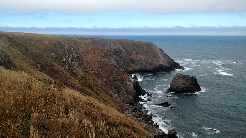
And this was what the ocean looked like not far beyond that point:

IMG_20180712_113640047

IMG_20180712_113654173

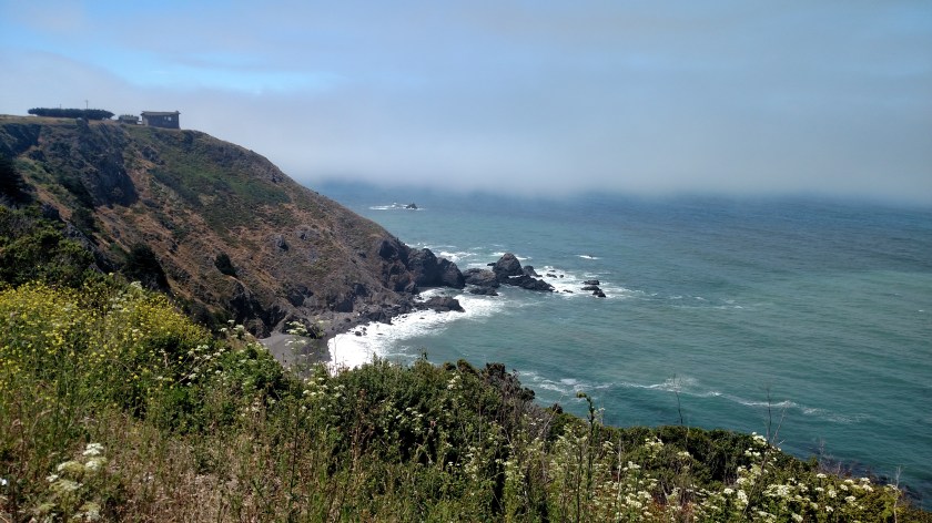
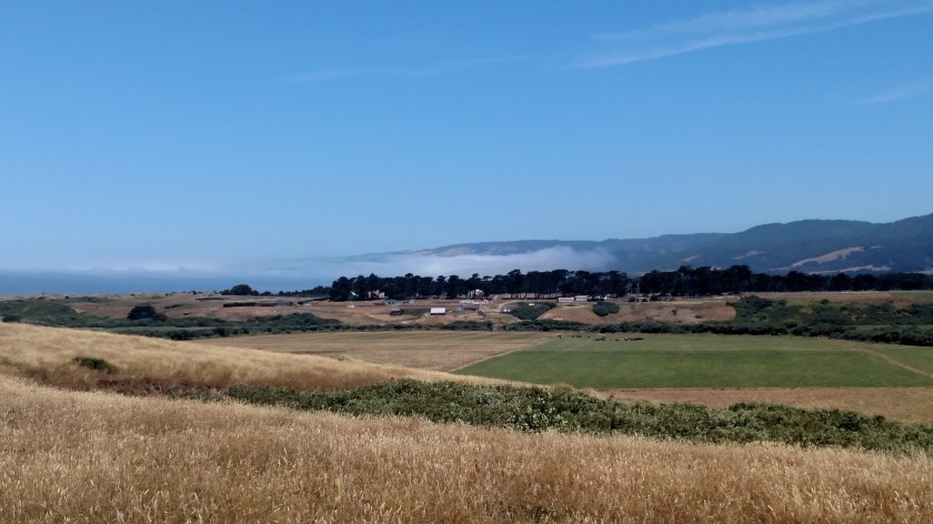
The visibility was much better, though there were high clouds which obscured the sun.  There was only a slight breeze and the temperature was right around 60 degrees, as it had been on Wednesday.  Inland, before I got to the redwood groves, it was inching up towards 90.

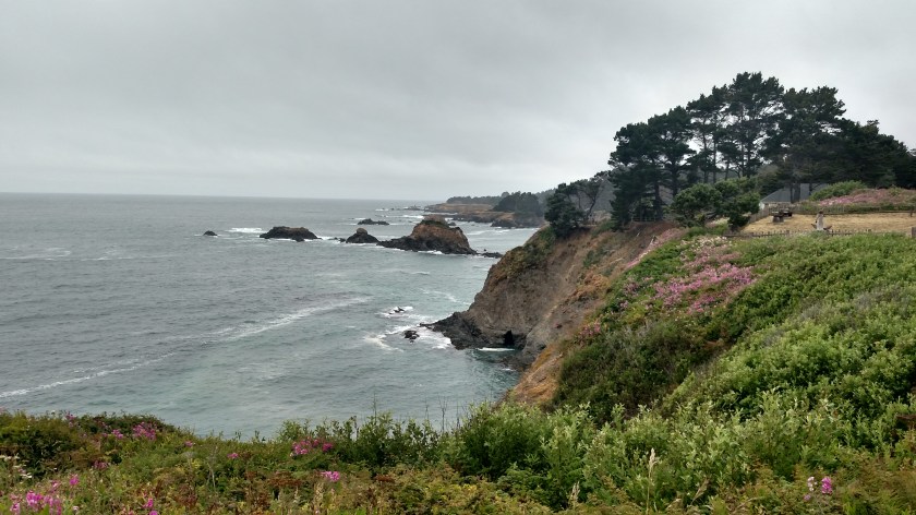
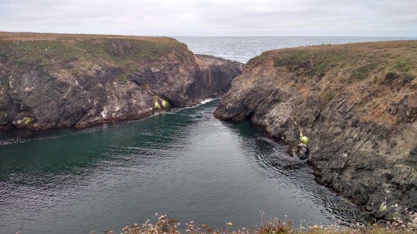
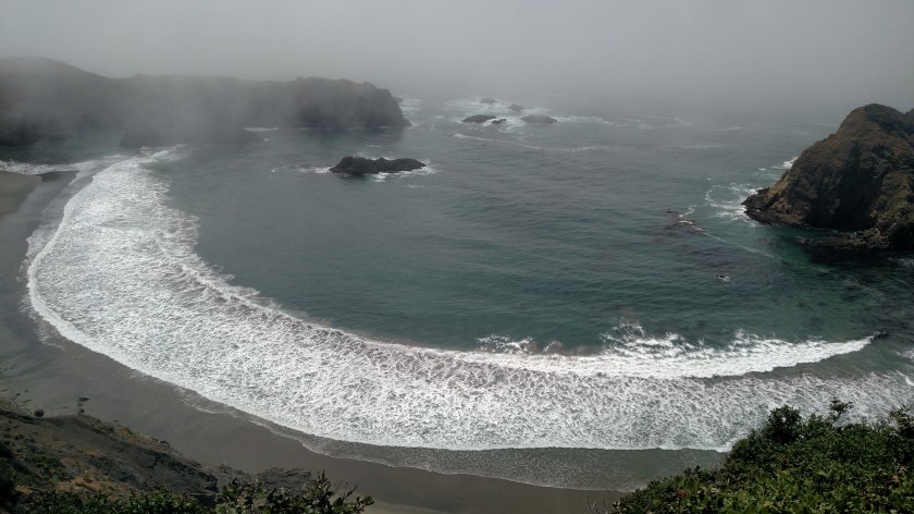
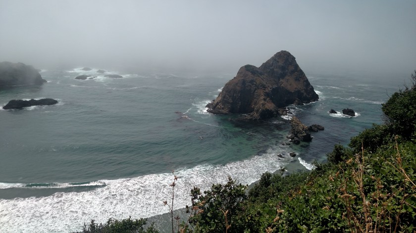
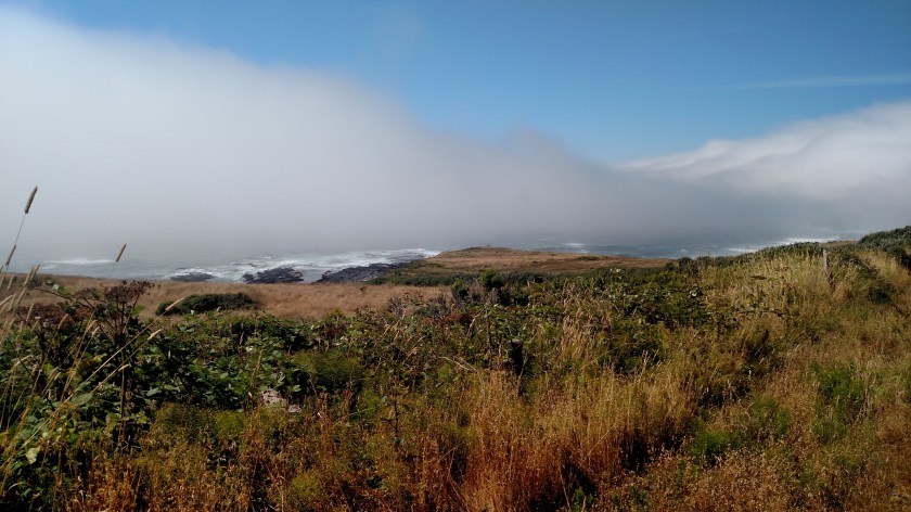
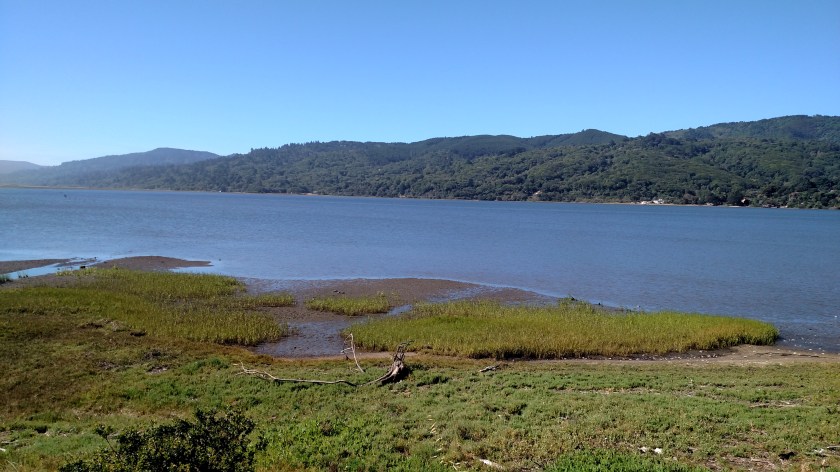
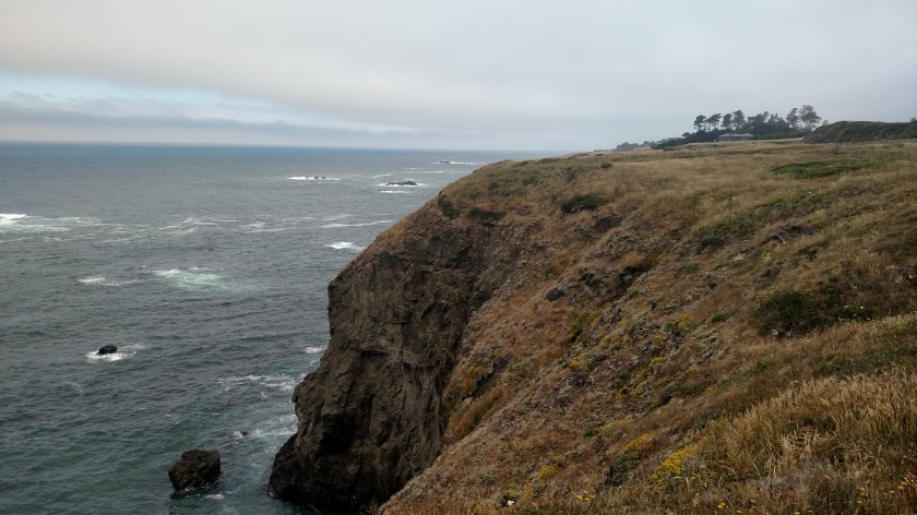
Not far north on Route 1 I came to the little town of Albion.  I crossed a long bridge from which I took these photos.  Looking out towards the ocean:

IMG_20180712_114929179

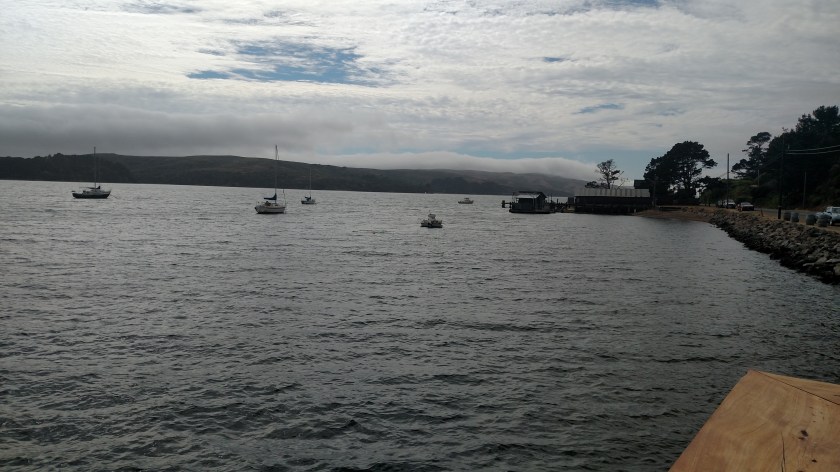
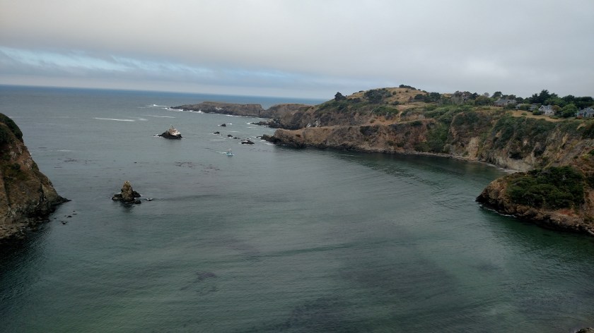
And looking inland, down at a campground and fishing village:

IMG_20180712_115250561_HDR

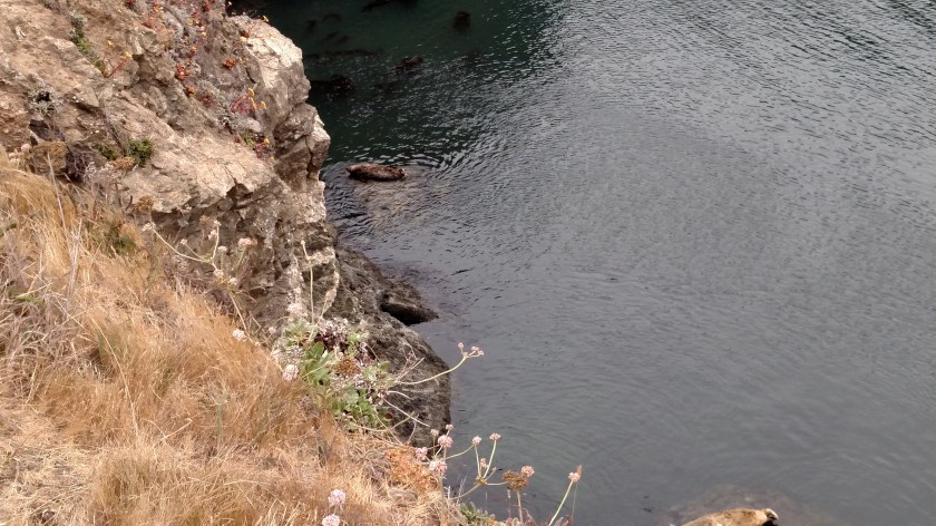
As I was looking out towards the ocean I noticed a small blue fishing boat I had seen out on the open sea earlier.  It was coming in to unload it’s catch of the morning.  It the first photo it is a little left of the center of the picture.

IMG_20180712_115312198

IMG_20180712_115426743

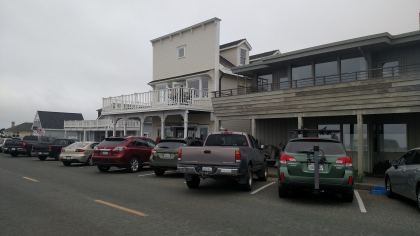
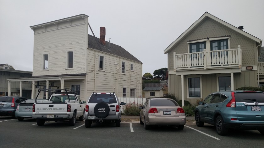
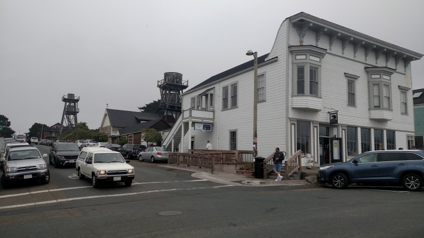
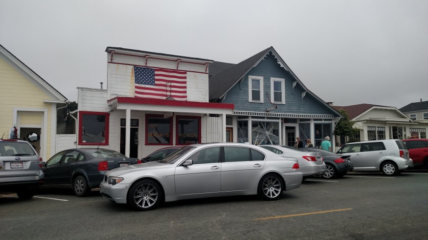
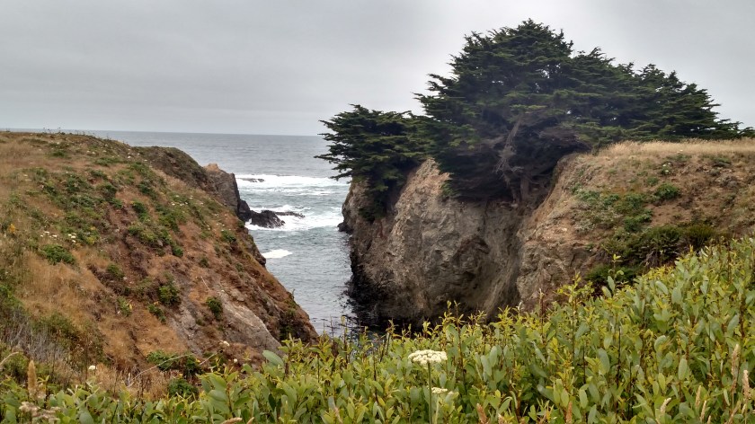
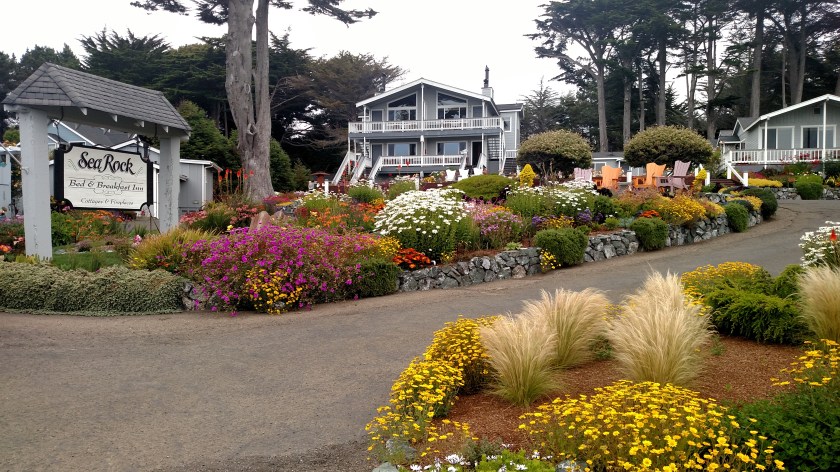
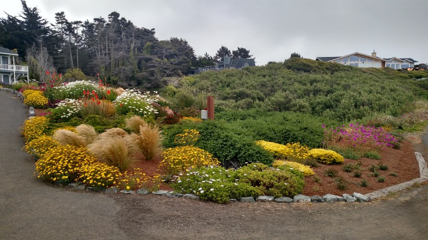
I stopped further north on Route 1 in Mendocino (see next post) and as I was leaving town on a different street than I had come in on I found this little Bed & Breakfast Inn, perched next to the ocean:

IMG_20180712_123738219

IMG_20180712_123814138_HDR

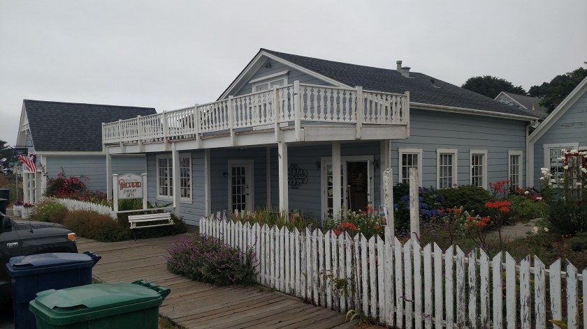
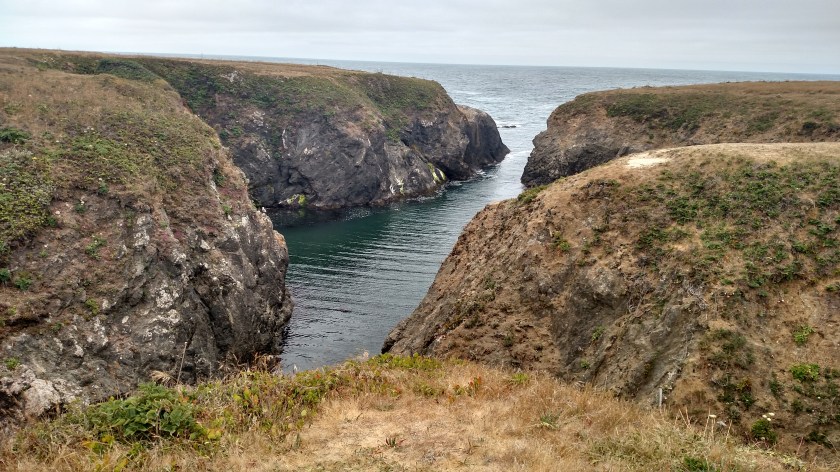
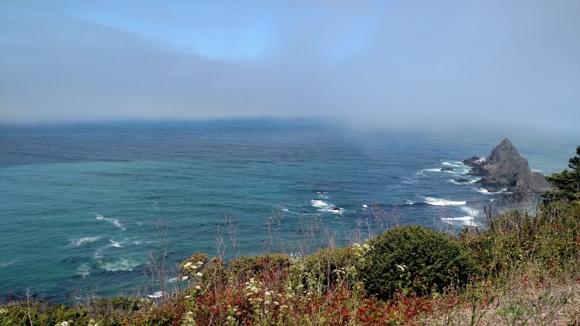
Here is the view their guests can enjoy by taking just a short walk across the road:

IMG_20180712_123845905

IMG_20180712_124026785_HDR


Mendocino, California

I didn’t even turn in the access road for this little town on Wednesday because it is closer to the ocean than Route 1 and I assumed it would have been socked in with coastal fog.

IMG_20180712_121903725

IMG_20180712_121936590

IMG_20180712_122133692

IMG_20180712_122152850

IMG_20180712_122318920

IMG_20180712_122408095

IMG_20180712_122427602

And the owner of the silver BMW in this next photo felt entitled to just leave his car parked in the travel lane, blocking 2 or 3 cars which were parked diagonally!  I drove around him when I was coming in to town and it was still sitting there as I was leaving later in the afternoon.  Where is a policeman when you need one (and believe me, I looked for one!).  What a moron…

IMG_20180712_122457835

IMG_20180712_122529698

Point Cabrillo Light Station

I drove right past the road for this place on Wednesday and am glad I looked at my maps and other materials last night or I would have overlooked it again today.  Just north of Mendocino is this little lighthouse which is only 45 feet tall:

IMG_20180712_125416167

IMG_20180712_125421814

IMG_20180712_130915735

As I walked down the 1/2 mile road to the lighthouse this was an inlet off to my left.  You’ll see another angle of it later in this post.

IMG_20180712_131210762_HDR

And this was an inlet off to my right:

IMG_20180712_131331346_HDR

The lighthouse itself arguably isn’t that attractive up close and looking straight at it:

IMG_20180712_132445796

The real charm shows itself when you view it from an angle:

IMG_20180712_131542812

IMG_20180712_131655437

IMG_20180712_131703084

This is the unforgiving coastline it is warning marine travelers of:

IMG_20180712_131937429

IMG_20180712_132053556_HDR

IMG_20180712_132017148

Other vantage points of the left inlet:

IMG_20180712_132532953_HDR

IMG_20180712_132634602_HDR

And in the upper left side of the next photo, this lone seal found his own personal rock to take a nap on:

IMG_20180712_132653668

Here is the Lighthouse Inn Bed & Breakfast:

IMG_20180712_130820427_HDR

IMG_20180712_132942500_HDR

And a smaller house next to it which I believe may be rented for your next family vacation:

IMG_20180712_130853600_HDR

IMG_20180712_131020288_HDR

The Coast on Wednesday – Post 1 of 4

My basic plan for this leg of my journey is to spend as much time as possible along the coast. First I had to get there….

I am staying in Ukiah which, as the crow flies, is about 40 miles inland. It didn’t appear very far on the map but as I learned Tuesday afternoon the road goes over several mountains which means it is winding, narrow and slow. Rather than retrace my steps from the night before I decided to take “The 101” (which runs right next to Ukiah) south to Cloverdale, then take scenic route 128 northwest through the valley and get to the coast near the little town of Elk (population 208). It was a beautiful, sunny day and scenic roads are what I love.

“The 101” and Route 128 were indeed very pleasant to drive. Now that I was in the valley there were numerous vineyards and wineries. Traffic was light and the roads were in great condition.

Shortly after I took the “Thank You sign” photo I posted in real-time yesterday I saw this barn sitting near the road, empty and apparently unused:

IMG_20180711_105517755_HDR

IMG_20180711_105616349_HDR

IMG_20180711_105807366_HDR

After passing through Navarro I drove through several groves of redwood trees. Although it was 11 o’clock in the morning on a bright and sunny day I thought it was a good idea to turn my headlights on as the tree canopy created very dark shade. I didn’t stop to take any photos of the trees as I will be visiting Redwoods National Park very soon and there will be plenty of opportunity there.

When I finally reached Route 1 this is what I saw:

IMG_20180711_112843661

Uh oh. Not wildfire smoke…. Fog.

Route 128 ends at the bridge and the bridge itself, and the road beyond it, is Route 1. The marine layer of fog was still lurking and, as I would find out, would be persistent all day. This was taken from on the bridge, looking west towards the ocean.

IMG_20180711_113125094

I drove south on Route 1 past Elk and soon came to a Vista Point (scenic overlook). I thought to myself – “This ought to be good”

IMG_20180711_115819561

But let me tell you – that photo was taken at 1158am. At 1205, just 7 minutes later, this is what it looked like:

IMG_20180711_120540508

IMG_20180711_120536444

While I had been parked there some other cars arrived and I was talking to other people visiting the area. A couple that had stayed near the Point Arena lighthouse said it was totally clear when they got up Wednesday morning but within a short time the fog rolled in. Then it rolled back out. Kind of a “weather hokey-pokey”.

Well sure enough, a few minutes after I took the two photos above I was socked in again. Such is life along the California coast….

Further down the road near Manchester I saw these interesting topiaries in someone’s yard:

IMG_20180711_122531562_HDR

IMG_20180711_122658424

IMG_20180711_122718316_HDR

Kind of like a giant caterpillar:

IMG_20180711_122823853_HDR

The Coast on Wednesday – Post 2 of 4

When I got to Route 1 on Wednesday morning I drove as far south at the Point Arena lighthouse, south of Manchester. I took this photo of the coastal fog along the two mile access road to the lighthouse off of Route 1. At this point I wasn’t terribly optimistic…

IMG_20180711_123941104

When I parked outside the gate I could see the top of the lighthouse, but by the time I got out of the car and walked to the closest point I had gotten to on Tuesday night this was all I could see:

IMG_20180711_124444429

Today there were some seals napping on the rock below where I was standing.

IMG_20180711_124453361

IMG_20180711_124503702

IMG_20180711_124651939

Today the lighthouse was open so I could get closer to it. This was as far back as I could get while facing the entry door at the bottom and I could barely get the whole thing in the picture.

IMG_20180711_125805572

The original lighthouse was destroyed in the Great Earthquake of 1906.  This replacement was completed two years later.

This was taken inside the gift shop. One step further and I would have had to pay $ 7.50 as I would then be in the museum but I just froze in place and got this shot, presumably of the lens used in the lighthouse (or one like it).

IMG_20180711_130049964_HDR

Back outside it was still windy, though not as bad as Tuesday. I think the very stiff wind on Tuesday was actually my friend as it evidently cleared the coastal fog away and it was crystal clear everywhere I was all day long.

IMG_20180711_130242605

IMG_20180711_130528259

The Coast on Wednesday – Post 3 of 4

These were taken returning to Route 1 along the access road to the Point Arena lighthouse.  I posted photos from this vantage point yesterday but wanted to zoom in a little on the arch created by a hole under one of the formations using the digital camera.

IMG_20180711_131854246

DSCN3155

DSCN3156

DSCN3157

IMG_20180711_131911712

Further out the access road I stopped again at the same vantage point where I had taken photos of the fog about 40 minutes earlier.  The black spots on the hill in the left portion of the picture are cows off in the distance.

IMG_20180711_132711734

IMG_20180711_132917060

Back out on Route 1 I saw this piece of farm equipment sitting next to a flatbed trailer near the road.  Can you imagine an alien spacecraft landing and thinking this was an Earthling?  “Take me to your leader!”

IMG_20180711_133647597

Further north on Route 1, beyond the town of Manchester, you still had to look down in order to see anything looking west.

IMG_20180711_141307456

IMG_20180711_141314122

IMG_20180711_141252722

The Coast on Wednesday – Post 4 of 4

These first two photos were taken from the same vantage point, looking left then right, along Route 1 just north of the town of Fort Bragg, California.  These are slightly inland but, as you can see, not far from the water (which is where the fog is).  These were taken around 330pm local time.  I stayed in this location for about 10 minutes and could see the visibility towards the house and trees diminish to the left and the clouds encroach further up the hillside on the right.:

IMG_20180711_152805793_HDR

IMG_20180711_152843251

Just a little further up the road – right next to the ocean.  The bright white below the clouds are actually the waves crashing up against the shore:

IMG_20180711_154253452

IMG_20180711_154325940

IMG_20180711_154336591

IMG_20180711_154350076

IMG_20180711_154356049

If you look closely at this last picture you’ll see two people standing on a bank out by the water.

IMG_20180711_154611524

A little further north the road turned inland and started to climb a series of mountains, becoming winding and slow.  I also drove through a few more groves of redwood trees, again making the use of headlights prudent even though it was only 4 o’clock in the afternoon on a bright and sunny day (inland!).  I finally reached “The 101” near the town of Leggett and drove south to Ukiah where I am staying for a few nights.  More blog posting and two loads of laundry await me.

I will visit the coastal areas again on Thursday.  Hopefully the fog will have dissipated by the time I get there but we’ll have to see what nature has in store for me.


Point Reyes, California

I passed through this little town several times during the week I stayed in San Rafael and as I drove through for the final time Tuesday morning I parked the car and walked around town a bit (while enjoying more pastries from the Bovine Bakery!).

IMG_20180710_091055649

IMG_20180710_091357019

IMG_20180710_091426671_HDR

IMG_20180710_091609679

IMG_20180710_091635021

IMG_20180710_091642541

IMG_20180710_091730884

IMG_20180710_092249297_HDR


Marshall, California

This post is partly about the little town of Marshall and partly about oysters.

Friday, July 6 I arrived at the “Marshall Store,” a small, unassuming bayside restaurant which came very highly recommended.  Their specialty is BBQ oysters, although that isn’t what I had.  I arrived at around 445 Friday afternoon and while ordering learned that they would be closing in 15 minutes at 5pm so I put in both orders, with the more complicated one to arrive after the first.  The meal was yummy, albeit pricey.  When I got home I told my Airbnb hostess where I had eaten and she said “Oh, were they dollar oysters??” to which I replied, “Oh no, they were definitely NOT dollar oysters”.  All told, with no drink but with tip, the dozen oysters set me back $ 54.79.  Now I don’t normally eat oysters (I guess I now know why…) but this was a special occasion at a place which has a great reputation.

Remember – the two keywords are small and unassuming.  The little shack with the “Closed” sign would normally be somewhere else.  As you can see, Route 1 passes just outside the front door.  This is a tiny place with mostly outdoor seating.

IMG_20180710_100021302

The double doors are to the kitchen, the white door on the right goes in to the order counter and a very small seating area.

IMG_20180710_100053100

Friday night I ate outside, in the cold wind, at the corner of the deck as seen on the extreme left of the photo below.  Most of these photos were taken Tuesday morning.

Eating outside was my choice, to get the true ambience of the experience.  I’m not whining about the cold wind, just stating a fact.  There was hardly any indoor seating anyway.

IMG_20180710_100142606

Here was the view I had Friday night as I waited for my oysters to arrive:

IMG_20180706_164942360

IMG_20180706_164945770

IMG_20180706_164948588

So I had my oysters and went on about my business.

As I drove through Marshall Tuesday morning on my way north to Ukiah I stopped at a little park before getting to the town of Marshall.  It was there that I saw these signs:

IMG_20180710_094227149

IMG_20180710_094248257

And here was the Bay the signs were warning about.  Tomales Bay.

IMG_20180710_094504738

IMG_20180710_094459057

The restaurant sits along Tomales Bay, with the land in the distance being part of the Point Reyes National Seashore (which I have been to but haven’t posted anything about yet).  Further up the road was this establishment, which supplies the Marshall Store:

IMG_20180710_094829898

Now I don’t know exactly where they get their oysters but I saw some boats getting ready to harvest some oysters just up the road on Friday morning….

This was a small residence and dock before I got to the restaurant.

IMG_20180710_095453972

Now I feel fine, and I’m not making any accusations, but I think I may be done with oysters for a while…


Further up the road, but still in Marshall, was this establishment – which was getting ready to open for lunch:

IMG_20180710_101216672

IMG_20180710_101231604

IMG_20180710_101256272

IMG_20180710_101314203

IMG_20180710_102220430

IMG_20180710_102326895

Across Route 1 from this establishment sat this boat, the “Black Pearl,” which looks like it has seen better days…

IMG_20180710_101404490

IMG_20180710_101451179