Indian Land

Much of the land around Pyramid Lake, and probably the lake itself,  is actually the property of the Paiute Indian Reservation.  In their native language their name is Pesha Mu Nobenena Kooyooe Panunadukwae.  A friend of mine told me several years ago when I was driving around New Mexico that when you are on Indian land and the speed limit is 35 miles an hour you had best not be driving faster than 35 miles an hour or you’ll soon have a black SUV with festive colored lights pulling you over and you’ll be headed to Tribal Court.  I saw signs when I stopped a few places to take pictures (from the main road) that vehicles MUST have a Tribal Permit before driving on the dirt roads down to the lake.

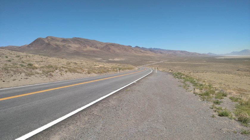
Here are some things I saw while I drove on Routes 446 and 447 around the southern tip of Pyramid Lake:

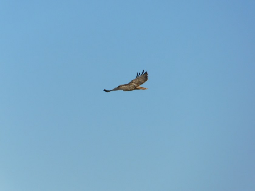
I drove past a tree next to the road which had a large bird sitting in it.  I went back and got out of the car with the digital camera and, of course, before I even got close to the tree the bird took off.  I had a little better luck with this one than I did last week with the bald eagle.  I’m pretty sure this was a red-tail hawk:

DSCN2546

DSCN2548

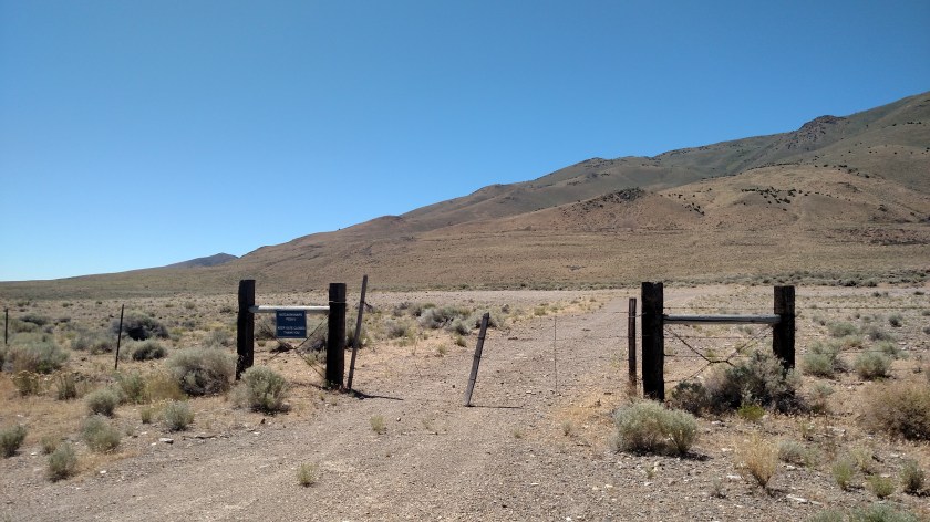
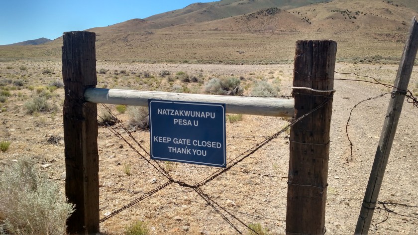
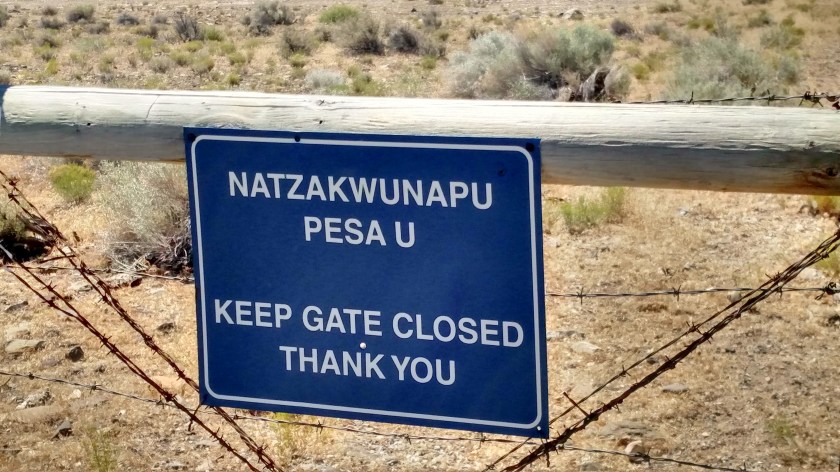
Further up the road I saw this sign asking people to keep this gate closed (which it is, it is just thin wire mesh so you can barely see it):

IMG_20180701_112953748

IMG_20180701_112907238_HDR

IMG_20180701_112912077_HDR

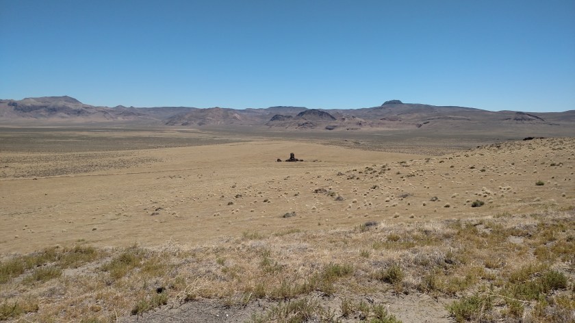
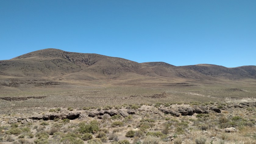
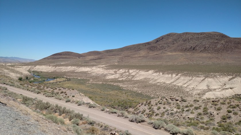
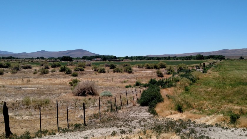
When I got to the east side of the lake I stopped the car and by just walking a short distance in various directions got all these shots:

IMG_20180701_114730215

IMG_20180701_114759717

IMG_20180701_114914386

This is looking southwest towards Virginia Peak, elevation 8,367 feet.  (The lake surface is at 3,796 feet elevation).

IMG_20180701_115005875

IMG_20180701_115104354

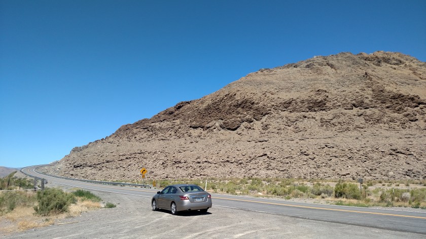
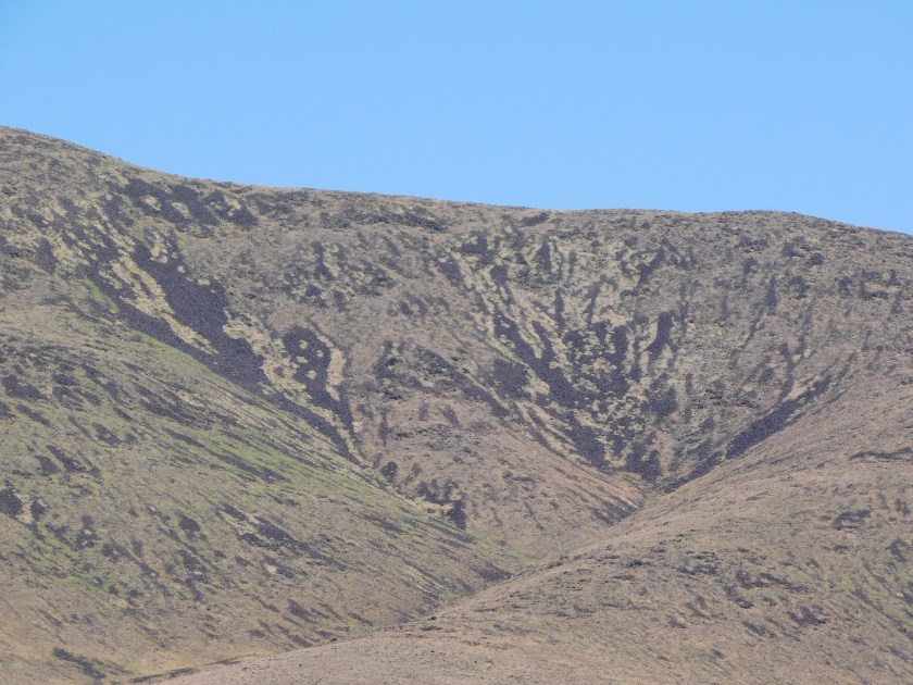
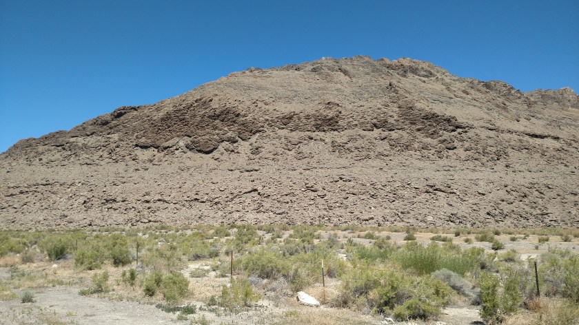
When I drove around the corner of this small hill I stopped to take a picture of this formation:

IMG_20180701_115356192

You can’t see them in the photo above but a flock of 11 birds, which I presumed were seagulls, was flying towards me, well above the dark part of the formation left of center.

You may just barely be able to see them in the photo below.  I could see them clearly with sunglasses on.

IMG_20180701_115410118

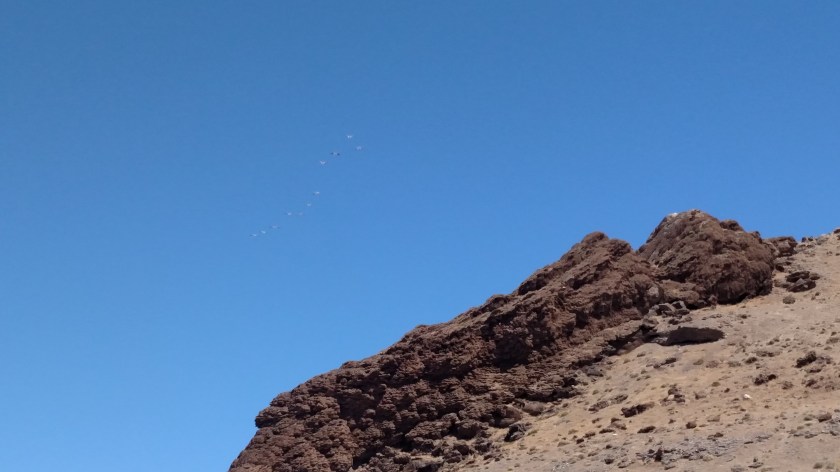
I quickly got the digital camera out of the car but by the time it was on and ready they were flying directly overhead and I was looking into the sun.  I changed my guess from seagulls to white pelicans once they had gotten closer, and that was confirmed when I saw several more flocks of them flying closer to the lake, very high up in the air.  I learned about white pelicans last year when I was near Denver (search “Pelican Point” on the Home page or use the calendar there to go look at posts from October 16, 2017).

After I took some more photos north of that spot and turned the car around I saw this one lone pelican circling slowly overhead.  I thought this was my perfect opportunity to get some good closeups but every time it turned so I’d get a good frontal shot the camera refocused, so here are the best shots of the bunch:

DSCN2585

DSCN2586

DSCN2588

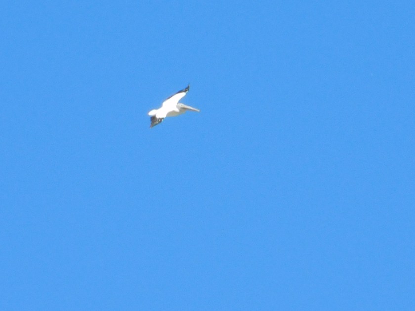
One of these days I’ll nail it but evidently I still need more practice.

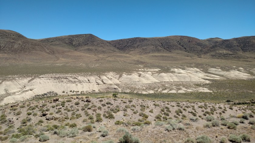
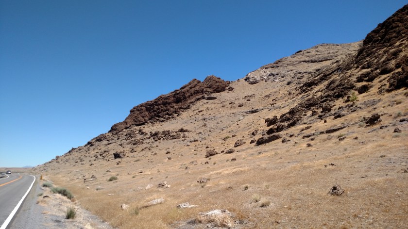
Here is one more rock formation from this portion of the scenic road I was on:

IMG_20180701_115900168

Oh, and this is probably how Pyramid Lake got it’s name:

DSCN2576


Welcome to Central Nevada

When I reached the northernmost point of my scenic road (when I got east of Tohakum Peak) I decided it wasn’t going to be very scenic any more and decided I’d turn around.  This is a 4-shot panorama after I went over the last hill, looking north, which made up my mind for me.  This covers a little over 180 degrees of viewing:

IMG_20180701_120642561

IMG_20180701_120646920

IMG_20180701_120651050

IMG_20180701_120654982

Nixon, Nevada (and south)

After reaching the northernmost part of the scenic road I was on east of Pyramid Lake I turned around and headed south towards Interstate 80.  This route would take be back through the little town of Nixon (a friend of mine is a huge fan of Richard Nixon so I dedicate this post to him).  Usually towns have a sign showing their name, population and elevation but Nixon didn’t have any coming in from any direction.  The population appears to be plenty big enough – I’ve seen towns with a population as low as 9 which rated a sign…

IMG_20180701_123145420

IMG_20180701_123411027

IMG_20180701_123826797

A local (tribal) police officer stopped while I was pulled off the side of the road to text these to my friend and I assured him everything was alright and that I was just a simple tourist who didn’t want to engage in distracted driving.

While in town I also spotted these vehicles inside a fence – and I hope they can stay there!

IMG_20180701_123608467

I drove further south on Route 447 and saw these things:

IMG_20180701_125313697

DSCN2603

This is a 3-shot panorama – left to right:

IMG_20180701_125706922

IMG_20180701_125711843

IMG_20180701_125715965

And Nevada has the neatest “Historic Marker” signs I have ever seen:

IMG_20180701_125817569

IMG_20180701_125827406

When I got to the dreaded interstate I was delighted to find a Pilot truck stop (for which I have a loyalty card) and I was able to gas up for 2.909, well below the 3.25+ I was expecting to pay in Sparks.

Fallon, Nevada

After I drove scenic road #1 for the day (northeast of Sparks, near Pyramid Lake) I dropped down south of Interstate 80 and tackled scenic road #2, Nevada Route 50, or at least a small part of it.  A friend of mine had told me about this road but I never knew exactly where it was.  Turns out that Highway 50 crosses the United States from West Sacramento, California to Ocean City, Maryland.  The portion which runs through central Nevada is called the “Loneliest Road in America”.

LoneliestRoad Newsweek

(Photo credit: Newsweek.com)

Highway50-LoneliestRoad doityourselfrv

(Photo credit: doityourselfrv.vom)

I drove a small part of the road as far as Fallon, NV and decided that was enough.  I love to drive but I really didn’t want to drive over 300 miles across central Nevada for 5 1/2 hours and then turn around and do it again.  Plus I was anxious to get home and post today’s photos, and update the status on the wildfire I spotted this morning.

Fallon itself is a cute little town.  Here are some shots taken on their Maine Street (yes, the ‘e’ is included at no additional cost to you!):

IMG_20180701_151124080_HDR

IMG_20180701_151140310

IMG_20180701_151352496

This sign painted on the side of a building caught my eye:

IMG_20180701_151258188_HDR

Note that the painter took some editorial liberty and changed the ‘r’ in YOUR to lower case…

I looked at some photos online and found this one as well:

SelzShoes icollector

(Photo credit: icollector.com)

A little ways east of Fallon I found this place:

IMG_20180701_143941227_HDR

A friend suggested I run some hot laps with my Altima but this is a dirt track and I just had my car washed this morning, otherwise…..


Evans Fire – Update – Sunday evening

Earlier this afternoon I posted a picture while parked by the side of the road.  When I left Sparks, Nevada about 9 o’clock this morning I was driving north to head towards a big lake northeast of town.  I saw something I wanted to stop and take a picture of and when I turned around to go back I noticed smoke rising from a mountainous area southwest of Reno.  Here is the picture I posted, plus one from the same time taken with the digital camera:

IMG_20180701_094318993.jpg

DSCN2474

I took those photos at 943 this morning.  According to the local news, that fire started around 8 o’clock this morning and has been named the Evans Fire (it is in or near Evans Canyon).  Here are some more shots taken with the digital camera about 10 minutes later.  My guess is that this fire was at least 40 miles away as the crow flies, but then I’m not that familiar with the area.  It is probably more than that, and I don’t think it is all that close to Reno.

DSCN2479

DSCN2480

DSCN2481

I went and did some other things throughout the day but when I headed home I was in town just off Interstate 80 next to the Nugget Casino and took this photo at 425pm local time.

DSCN2620

It looked much better to me, but the InciWeb website I use to monitor wildfire status said that as of about an hour before I took that last photo it was at 60 acres and was only 5% contained.

This is how it starts…

I took this photo shortly after 930 this morning, looking back towards Reno.

This is now the Evans Fire (at or near Evans Canyon) Southwest of Reno, Nevada. A news report 2 hours ago had it at 20 acres and an hour ago at 35-80. I don’t know how official either of those reports are.

I am posting this with my phone while parked by the side of the road (Shawn) and will post better pictures taken with the digital camera later today when I get home.

UPDATE:  442pm Pacific Time – Corrected location to Evans Canyon, not Ranch.  Fire started approximately 8am local time.  As of an hour and 20 minutes ago, InciWeb website has it at 60 acres and only 5% contained.  I will be making a new post with additional photos shortly.

Sunday update

Oops – I initially titled this post Saturday update.  For me now, every day is Saturday!

I am now in Sparks, Nevada – just outside of Reno.  I am leaving shortly for two scenic drives which should only take a few hours.  The internet connection here is excellent and my photos are uploading very quickly.  I got caught up on sleep last night so when I get back to the house this afternoon I will post some of my picture backlog.

Monday I plan to go down and drive a lap around Lake Tahoe, which isn’t far from here.  Traffic may be heavy due to the upcoming July 4th holiday but hopefully I’ll get back in time to post even more before I head to San Rafael, just north of San Francisco, on Tuesday.  I’ll be there a whole week and have LOTS planned.

Hetch Hetchy Reservoir

Friday I drove back to Yosemite National Park one last time, with the intention of seeing three things I hadn’t been to yet.  One was the Ahwahnee Hotel (which now has a different name due to legal issues) which is the largest hotel in the Yosemite Valley.  The main reason I wanted to see it was that the lobby and interior was the inspiration for the set constructed for the original movie “The Shining,” starring Jack Nicholson and Shelley Duvall.  When I visited the two hotels (one in Oregon and the other in Colorado) which had been used for exterior scenes last year I did some research before posting those photos to the blog and thought I had read that the Ahwahnee had burned, but it is quite intact.  Well, because of a later than expected start Friday, and noticeably more traffic in the Park, I decided not to go and may post pictures I can find online later.

The second thing I wanted to do was exit the Park on Route 140 and drive south, through the little town of El Portal and continue down to Mariposa.  Well, El Portal was not exactly what I had been led to believe it was (a quaint little mountain town) and I only drove about 12 miles south before deciding that the scenery was not unlike something I could see in the mountains of North Carolina, so I turned around and went back into the Park.

Item 3 – I then turned left and exited the Park on the road I had been using most of the week and drove a short distance where I turned right on the road to Hetch Hetchy, a 16-mile road which ends at the reservoir.  About 2/3 of the way up that road I entered the Park again (my mother would say “make up your mind, are you in or out??”) and was rewarded with some magnificent scenery.  While the forest along much of the road up to Hetch Hetchy had burned years ago the reservoir area itself was worth the trip.

The reservoir was created by the construction of the O’Shaughnessy Dam, named for the engineer who designed it and supervised it’s construction, and sadly died just 12 days before the public dedication. After the devastating earthquake in 1906 which destroyed the water system in San Francisco (along with much of the city) a plan was devised, after heated debate with conservationists who wanted to preserve the natural beauty of the valley, to construct this dam and create a reservoir to provide water to the San Francisco Bay area.

IMG_20180629_114518991

It took 20 years to design and build a series of pipes and tunnels to transport water from here, west to San Francisco – a distance of 167 miles.  The system was designed to transport the water completely by the force of gravity, and no pumps are utilized!

DSCN2469

Some of the water is released downstream by a series of gates, located to the right of the dam as seen in the photo above.

IMG_20180629_114622804

This, then, creates a series of small waterfalls on the “dry” side of the dam.

DSCN2459

DSCN2462

Though the bulk of the water released through the dam is by way of a large jet of water which crashes against a rock wall before falling into what is now the Touloumne River, headed for the coast.

DSCN2465

IMG_20180629_115635657

IMG_20180629_115735622

The dam itself creates the huge Hetch Hetchy Reservoir.

IMG_20180629_115058819

And although it is hard to spot in the photo above there are normally two waterfalls a little left of the center of the photo above (only one the day I was there).  The one which is flowing is the Wapama Fall, down near the water’s surface.

DSCN2453

DSCN2455

Earlier in the year, when there is more snowmelt, there is a much higher fall, the Tueeulala, which drops from the top of the high point just left of Wapama Fall, but there was no water falling from there on Friday.

After walking across the dam I went through a short tunnel…

IMG_20180629_120133034

IMG_20180629_120250866

… and got to see another perspective of the reservoir.

IMG_20180629_120630204

This was a great way to finish my time on Yosemite.