Wenatchee, Washington

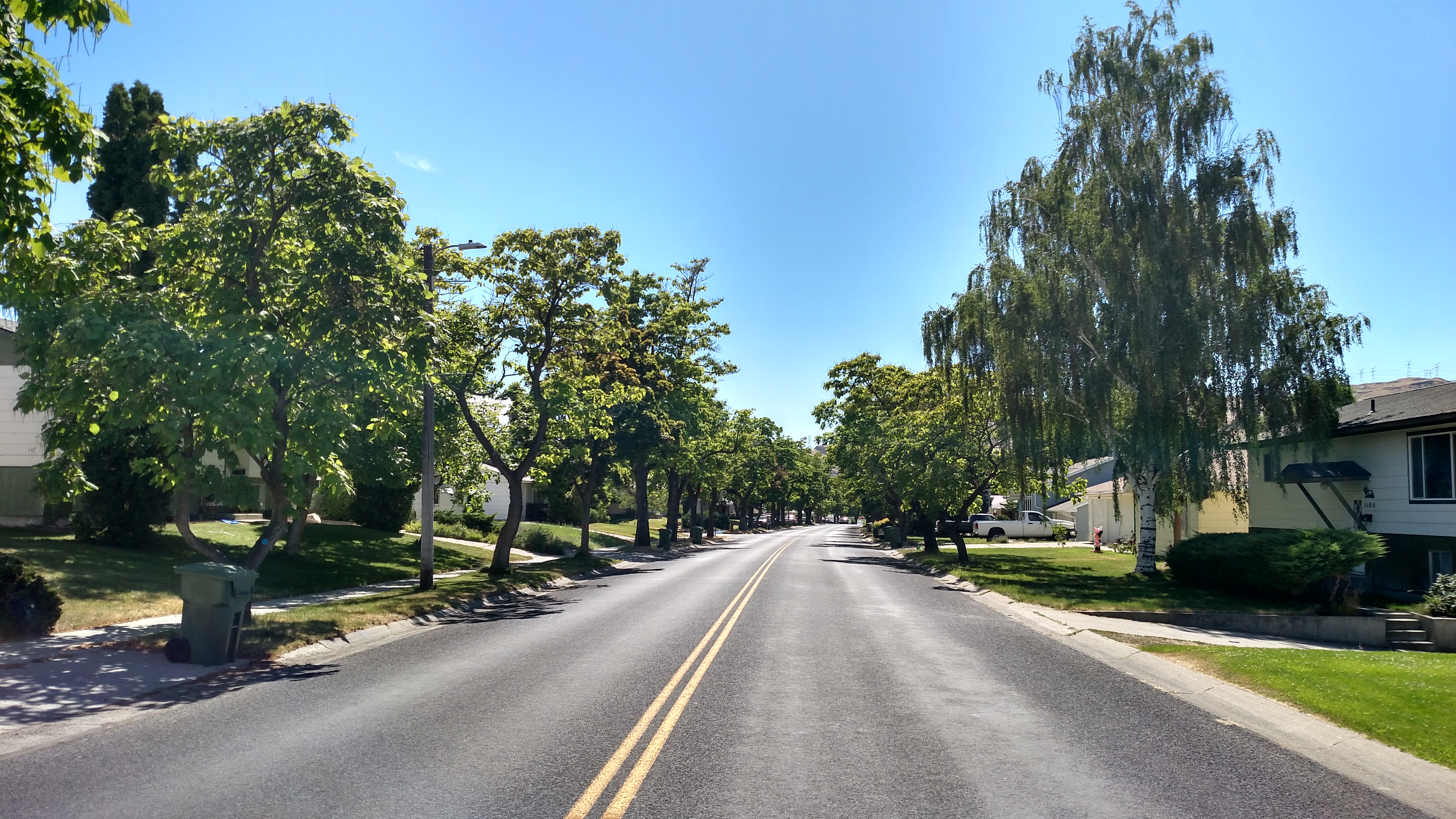
While in Washington I am staying in Wenatchee, which is located pretty much right in the middle of the state.  I chose it because of it’s strategic location relative to the places I wanted to visit while I’m here.

Wenatchee claims to be the Apple Capital of the World.  I’ve seen lots of apple orchards, as well as numerous cherry groves and farms where apricots are raised.  I’ve also seen lots of warehouses and packaging plants.

As I came in to the area yesterday I noticed a sign along the road indicating that many fields of crops have a sign facing the highway indicating what is being grown there.  At first I thought that was kind of hokey but I quickly embraced it as a neat idea and now I am disappointed if I see a field that doesn’t have a sign telling what is being grown.  So far I’ve seen sweet corn, alfalfa, canola seed, potatoes, and yes, even green manure (Ewww…).  Seriously, it had a sign just like the others!

And speaking of potatoes, you’re probably thinking “But John, you were just in Idaho.  Why haven’t we seen potatoes yet?”.  Patience 007, patience.  I’ll be staying in Boise in a few weeks and visiting the southern part of the state so you’ll be getting a full helping of potatoes from down there.

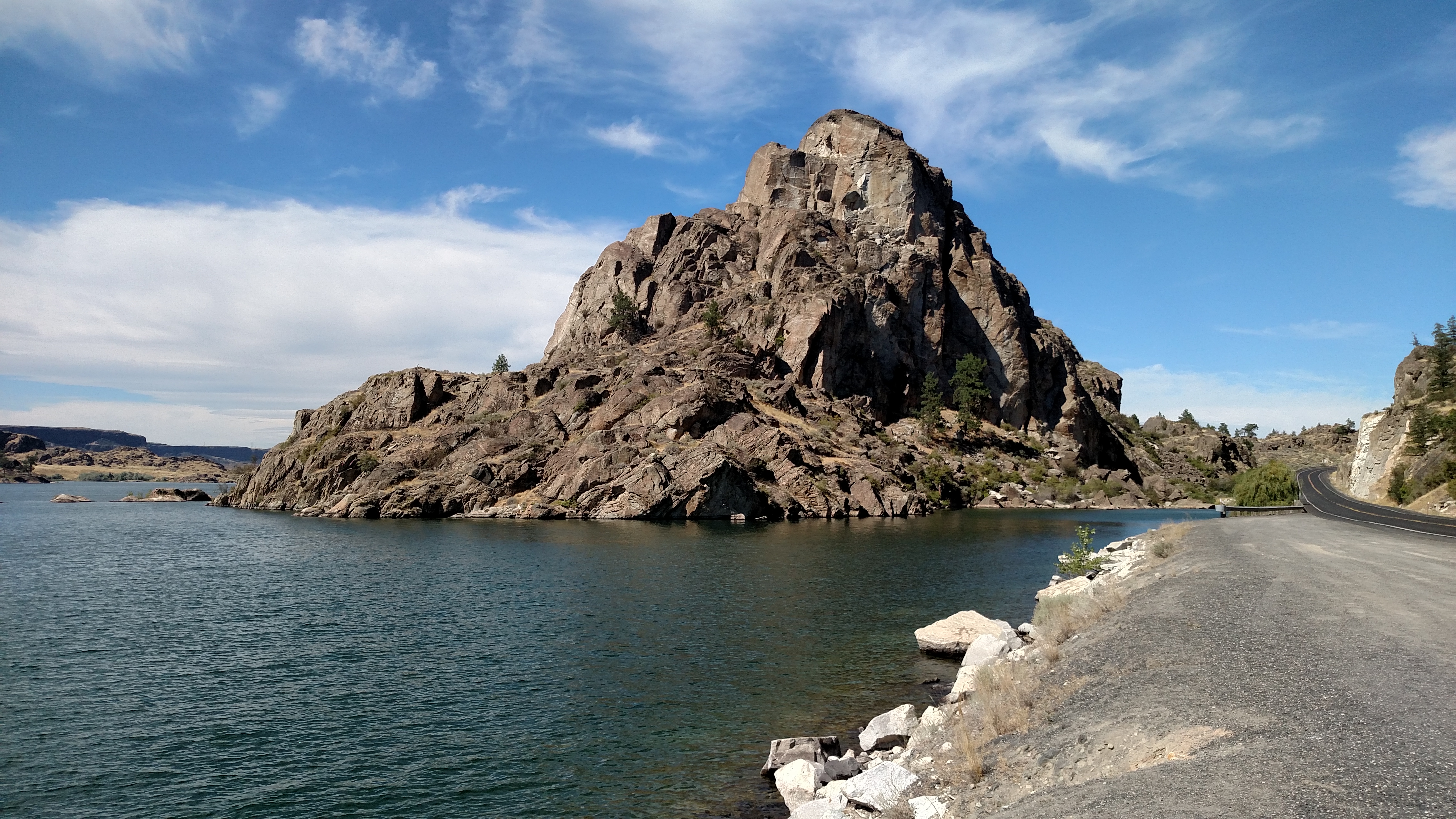
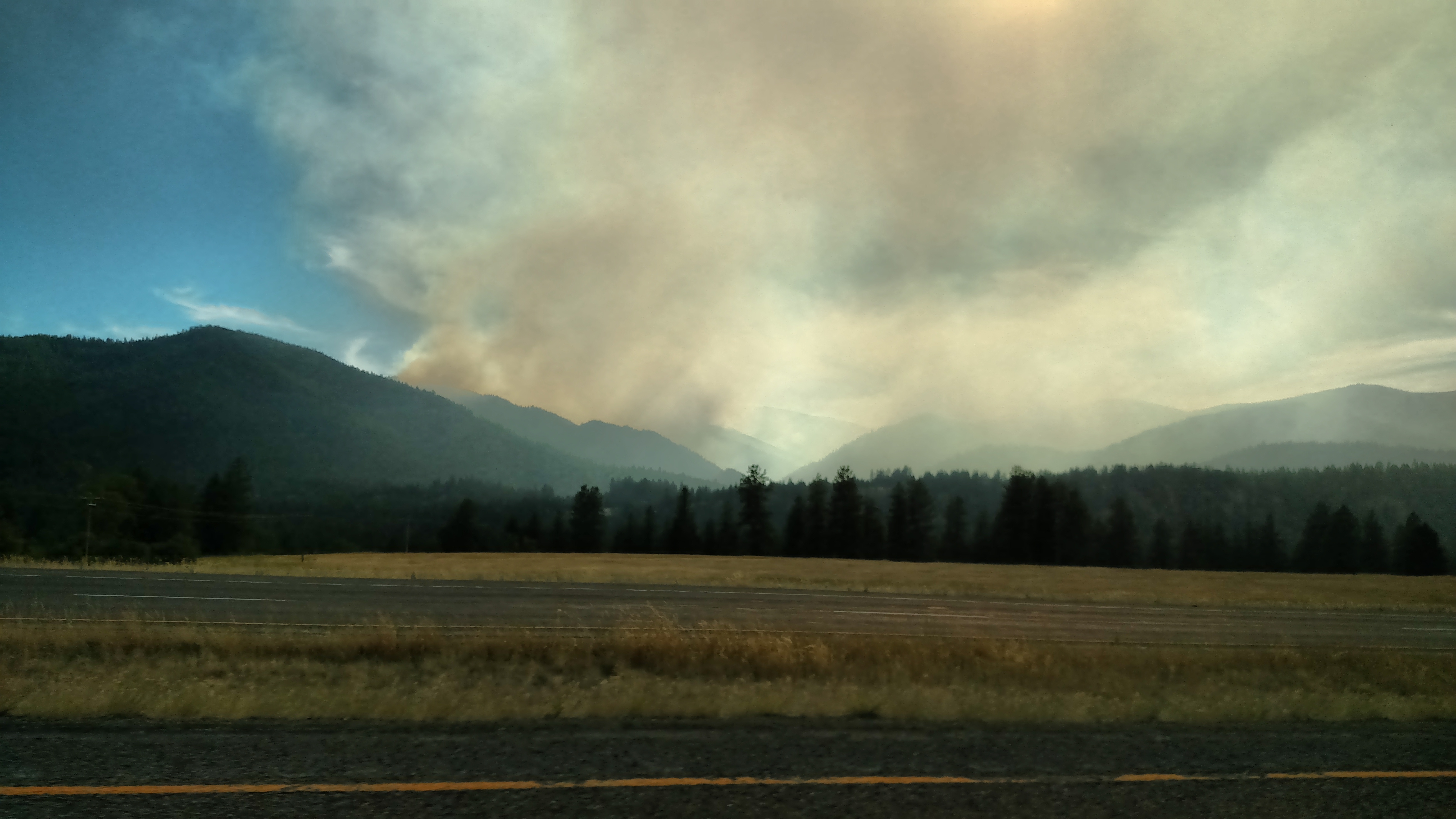
The picture above was taken only about 10 minutes after leaving town heading north towards today’s destinations.

Dry Falls State Park, Washington

Once I got south of Banks Lake I found myself at Dry Falls State Park.  This is kind of a mini Grand Canyon.  It is quite large (you are only seeing about a third of it) and deep, and was yet another surprise I found on the road today.  You’ll be seeing another picture taken here, hopefully tomorrow.


Reflection pool

Not all the photo ops at Banks Lake were looking towards the lake.  This was just off the road to my left as I was traveling south along the eastern edge of the lake.  If you don’t believe me I can send you a picture including the guardrail which I am standing right in front of.

Swimming hole


The top picture is looking back towards the swimming hole featured in the next post.  The two guys I saw there were in the lower right corner of this picture, near the road.

The lower picture is of Steamboat Rock, for which the State Park is named.  These were taken at Banks Lake in northeast Washington State.

Unexpected find

This is one of the advantages of driving on scenic roads.  After spending several days on prairie land and in mountains, this was the opening act of what turned out to be more than an hour driving adjacent to Banks Lake, which is home to Steamboat Rock State Park in Washington State.

Yesterday’s drive in central Idaho, while pleasant, frankly got kind of boring.  The southward leg was nice, but when I started heading east towards Missoula, Montana it was over 100 miles of a stream running parallel to the highway, a winding road with a 50 mile per hour speed limit (and no guardrail!).  Picturesque, but repetitive.  At this point today’s drive got anything but boring.

The guy in the water (who was walking very gingerly on the rocks below the water’s surface) was waiting for his buddy who was up in the rocks to the right negotiating his way to the rock on the far right where he would jump into the water.  Fun, but risky.

Then I started driving alongside a huge lake with a rocky cliff rising along the left side of the road.  The lake brought many nice views and photo opportunities with various rock formations in the distance.

A welcome relief

Today’s journey took me north of Spokane, Washington (which is not far west of Coeur d’Alene, Idaho) on two scenic roads, Rte 20 which I took east to west up near the Canadian border, and Rtes 155 and 17 which proceed south from the town of Omak, Washington.

After driving for hours through dry, brown prairie land it was like a dream entering town on this lush, tree-lined street in Coulee Dam, Washington.  It is just north of the Grand Coulee Dam which is just south of the Colville Indian Reservation (one of the largest I’ve driven through).

Wildfire near Missoula, Montana

As I was ending my journey today I got on the dreaded interstate in Missoula to drive the 2 1/2 hours back to Coeur d’Alene.  Once I got outside of town I could see a big smoke plume drifting north, away from the fire source.  This was taken about 55 miles northwest of Missoula, looking south.  Once I got a little further up the road I could tell that the fire itself was, thankfully, in an area of only maybe 4 square miles, and much smaller than what you often hear about on the news.  I later saw about a half dozen helicopters parked in a field just off the interstate with fuel trucks and personnel nearby.  The weather forecast this morning called for a front to come in about the same time as I took this and bring stronger winds overnight, which would be unfavorable for fire suppression.

Near Orofino, Idaho

This is actually looking back towards the direction I had just come from.  There was another scene I wanted to take pictures of but needed to turn around to go back and find a safe place to pull off the road.  Then when I returned to this spot I stopped again to take this.  This looked better in person than what you are seeing.  Kind of a ripple effect on the side of the hill.  These hills are covered with dry grass which, when up close, looks like peachfuzz.