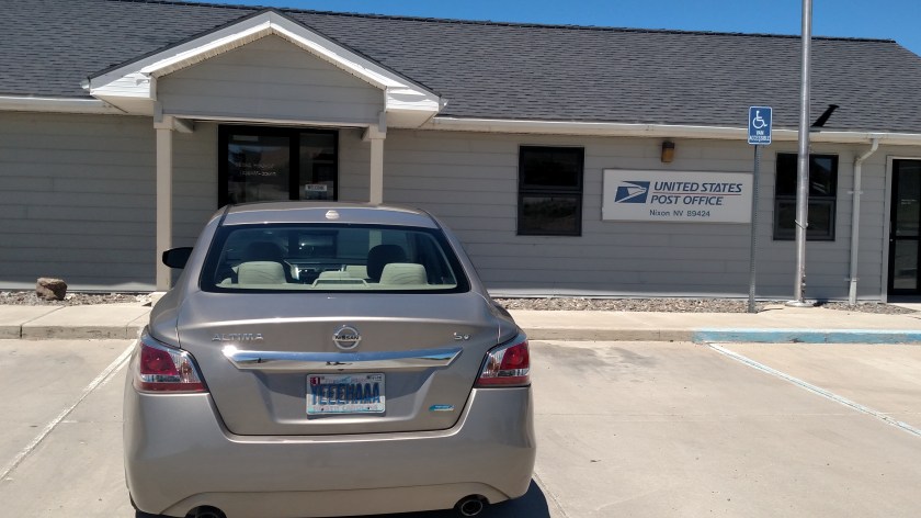
After reaching the northernmost part of the scenic road I was on east of Pyramid Lake I turned around and headed south towards Interstate 80. This route would take be back through the little town of Nixon (a friend of mine is a huge fan of Richard Nixon so I dedicate this post to him). Usually towns have a sign showing their name, population and elevation but Nixon didn’t have any coming in from any direction. The population appears to be plenty big enough – I’ve seen towns with a population as low as 9 which rated a sign…


A local (tribal) police officer stopped while I was pulled off the side of the road to text these to my friend and I assured him everything was alright and that I was just a simple tourist who didn’t want to engage in distracted driving.
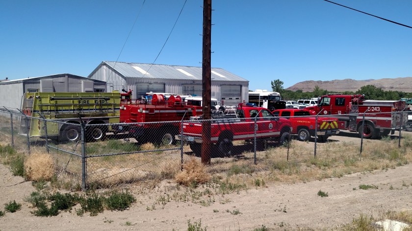
While in town I also spotted these vehicles inside a fence – and I hope they can stay there!
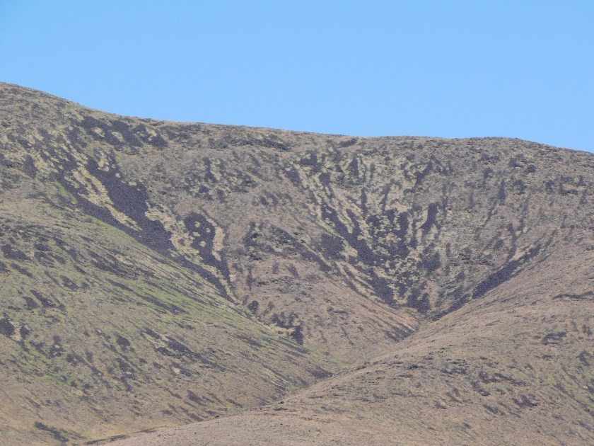
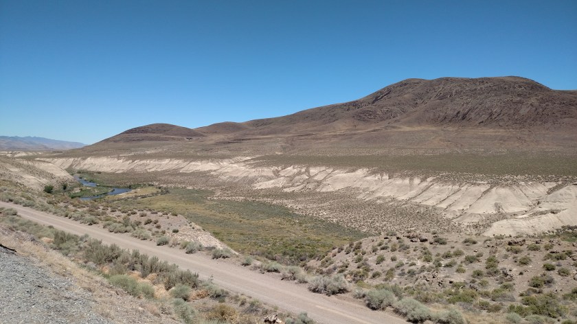
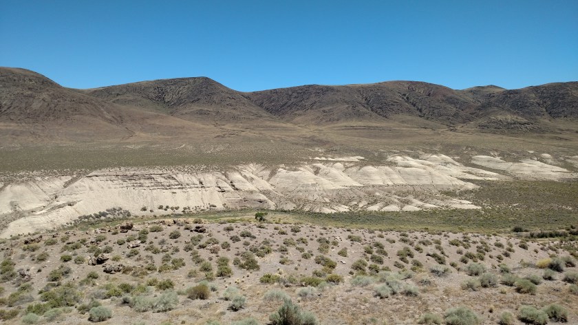
I drove further south on Route 447 and saw these things:
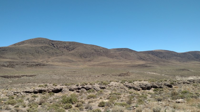
This is a 3-shot panorama – left to right:

And Nevada has the neatest “Historic Marker” signs I have ever seen:


When I got to the dreaded interstate I was delighted to find a Pilot truck stop (for which I have a loyalty card) and I was able to gas up for 2.909, well below the 3.25+ I was expecting to pay in Sparks.
