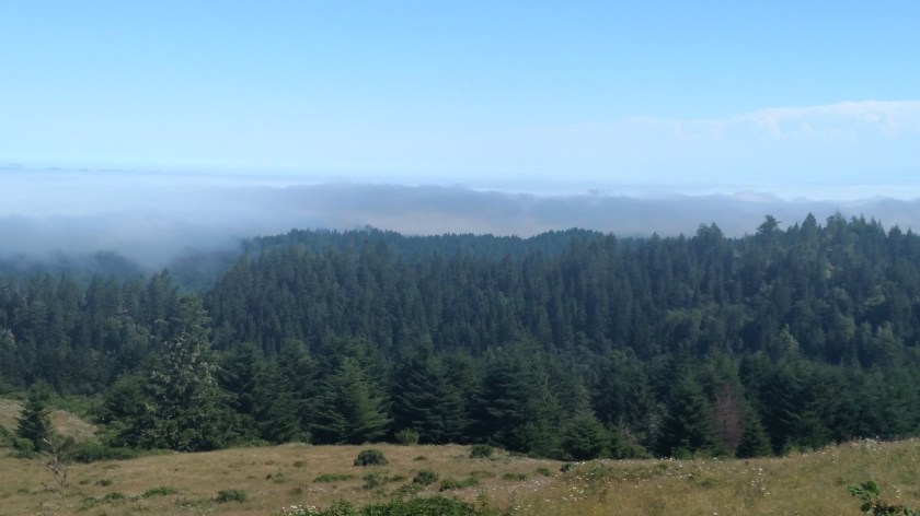
After visiting the little town of Ferndale I decided to give seeing The Lost Coast another try, this time approaching from the north (Ferndale is where the road starts/ends depending on your direction of travel). Immediately after leaving Ferndale I started to climb what would turn out to be a relatively small mountain. While it had been overcast the whole time I was taking photos in Ferndale, as I drove through the heavily wooded road winding up the mountain I realized the sky above me was now blue, and I assumed that I had actually driven up through the cloud deck. That assumption was confirmed when I reached a clear plateau at the top of the mountain and could look out at the clouds over the ocean.
These were taken starting at 1029am and I was at an altitude of 1,884 feet according to the MyElevation app on my phone.


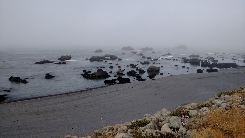
I resumed driving (while it still had some deteriorating-condition issues this road was much better than I was anticipating – believe me, after the fiasco trying to get here from the south on Friday I had REALLY lowered my expectations…). I drove back down through the clouds (I was curious at what altitude the cloud tops were but by the time I had driven that far down the mountain I had lost what little cell phone signal I had on the Ferndale side of the hill so the app didn’t work) and finally reached the foggy coast. It was now 1101am and I had traveled about 12 miles south from Ferndale.


(story continues in Post 2 of 2)
