I didn’t plan for this to happen but here goes….
Friday was a travel day as I drove from where I was staying in Quincy, California up to Klamath Falls, Oregon (which, by the way is pronounced CLAM-ith, not CLAY-mith as I have been saying for the past year). My series of scenic roads took me around the western side of Mount Shasta, a 14,179 foot tall mountain in northeast California. Little did I know that the Klamathon Fire had occurred near Mount Shasta beginning back on July 5th, and lingering smoke was still very evident in a widespread area north and west of the mountain. Here is a series of photos I shot while traveling through the area Friday afternoon.
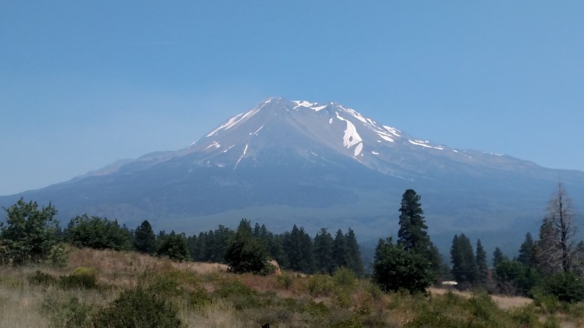
I took the first two pictures only to send to a friend of mine in Durham, showing her the snow on the mountain. They were taken as I approached the mountain from the southeast.
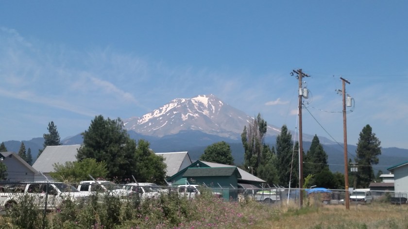
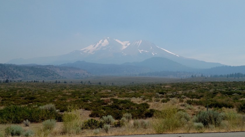
115pm, from a Vista Point (scenic overlook) along Route 89, SE of the mountain:

130pm, from the little town of McCloud, SSE of the mountain.
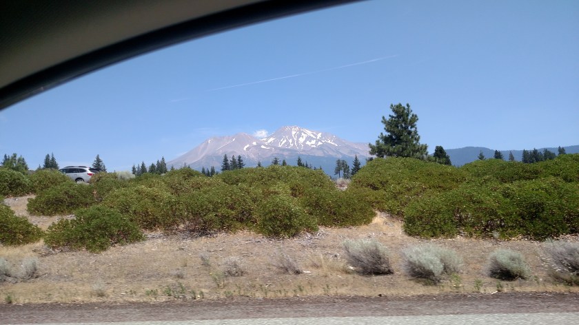
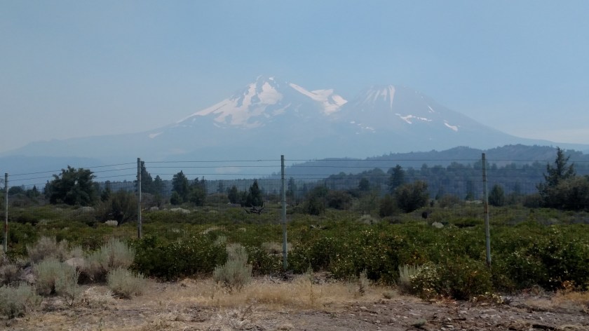
151pm, from Interstate 5 (while stopped in one-lane highway construction traffic, Shawn), west of the mountain:
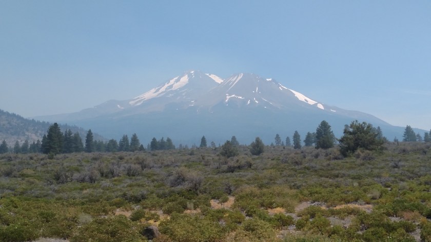
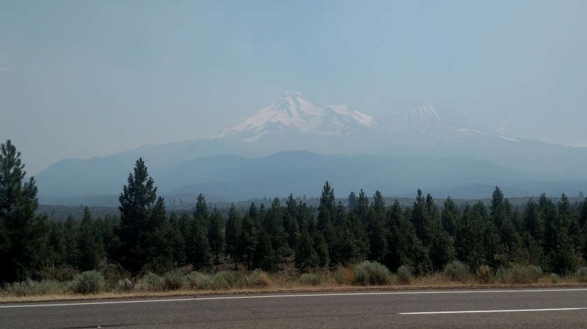
200pm, now on Route 97, northwest of the mountain, and starting to drive north and east away from it:
214pm:
217pm, from the vantage point where I took the photos in the previous post, Klamathon Fire:
220pm:
224pm:
And finally, 232pm, from another Vista Point specifically built for folks to stop and view the mountain – which you can now barely see:


Safety first! Interesting progression of the lingering smoke on air quality.
LikeLike