Welcome to Newfoundland!

July 26, 2019

IMG_20190725_062722545

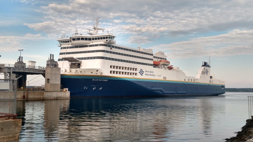
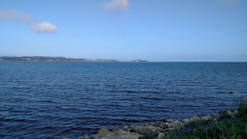
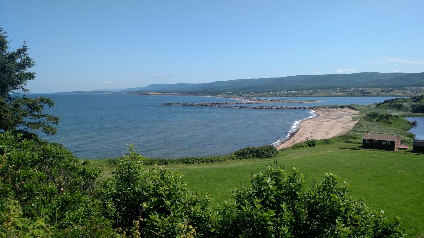
Thursday I took a large ferry from North Sydney, Nova Scotia to Port aux Basques, Newfoundland. Newfoundland is a huge island, the size of the State of North Carolina, northeast of Nova Scotia. The ferry ride was scheduled to take between 5 1/2 and 7 hours depending on weather. The seas were calm and we did it in 6 hours.

Newfoundland is one half of the Canadian province called “Newfoundland and Labrador,” the other half being Labrador as you probably guessed. They are one half in name only – Labrador is considerably larger in size (73% of their combined land area) but has a markedly smaller population (only 8.6% of their combined population).

A friend of mine in Pennsylvania lived with someone who raises and breeds Newfoundlands (the dog). They have 8 of them and this was the scene shortly after I arrived at their home for a visit last year. The 8 of them were very excited to meet me at the door but after about a half hour they were all asleep on the kitchen floor. They are very big so you are only seeing four:

IMG_20181005_120206904

The dog breed is generally pronounced NOOFIN-lind (at least that’s what my friend called them). Canadians prefer that you pronounce their province noofin-LAND and I’ve been told that that pronounciation is technically correct for both.

I will be spending 10 nights on Newfoundland:

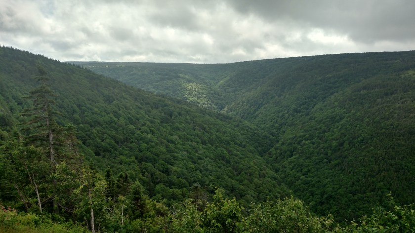
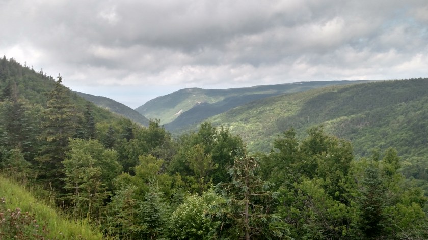
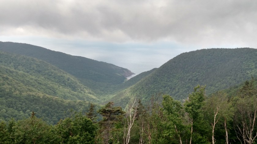
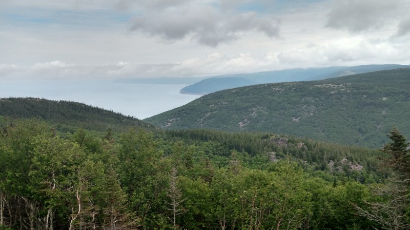
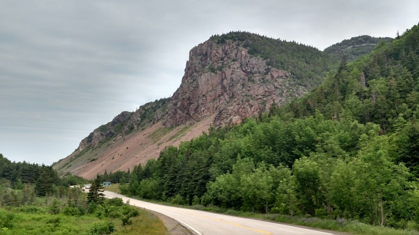
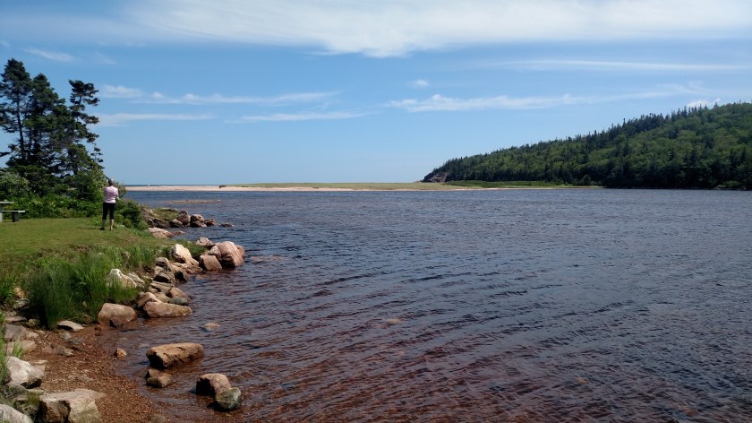
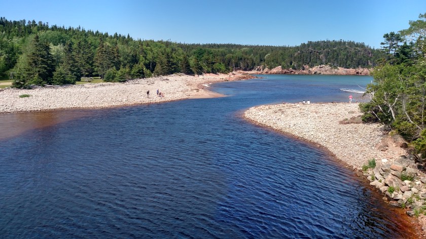
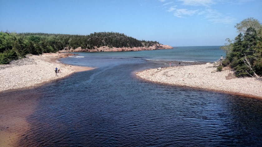
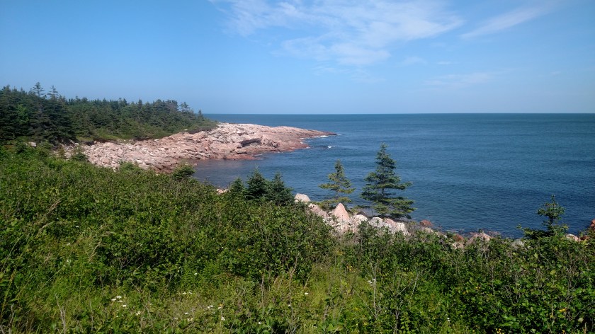
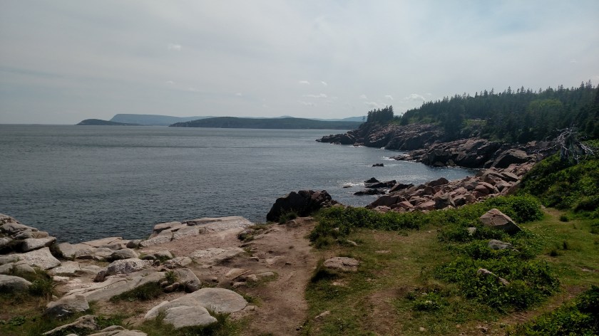
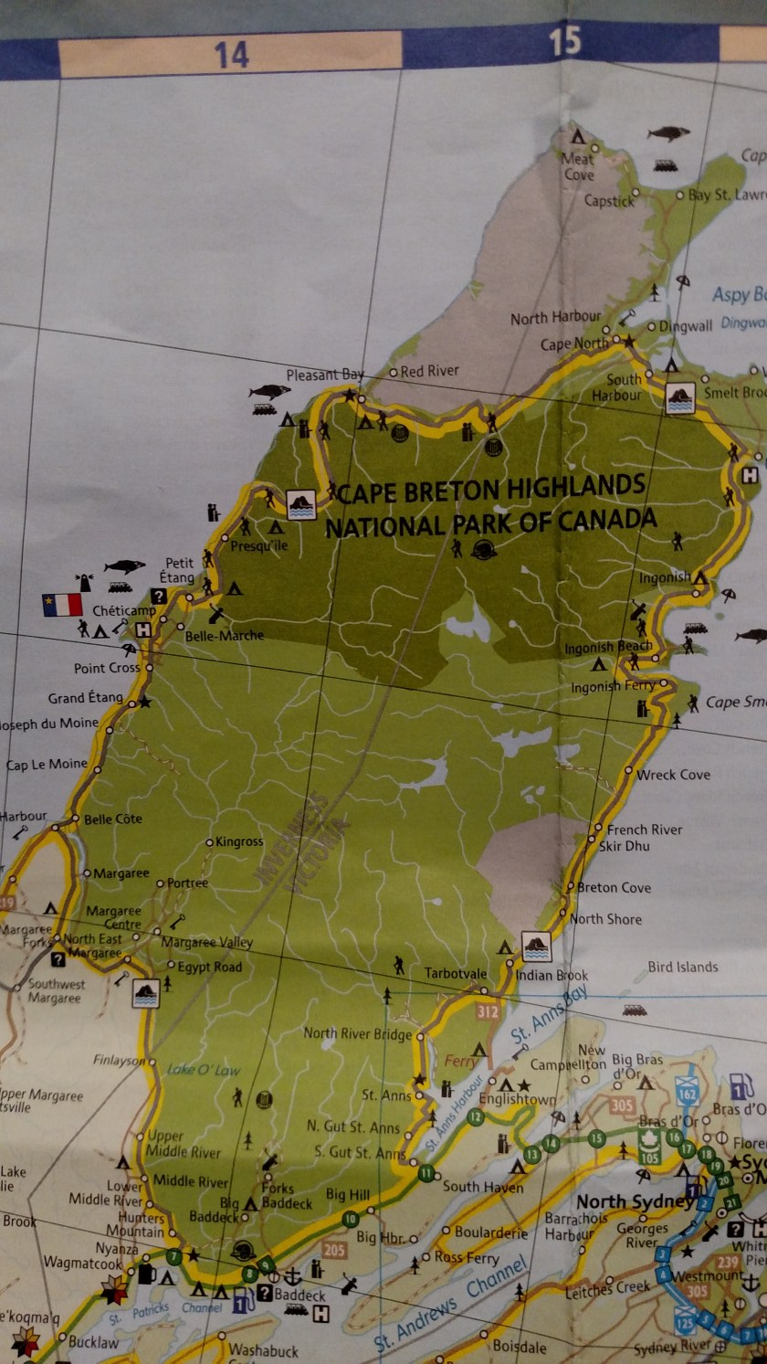
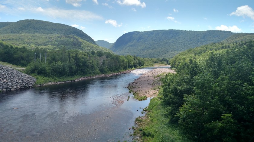
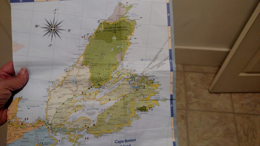
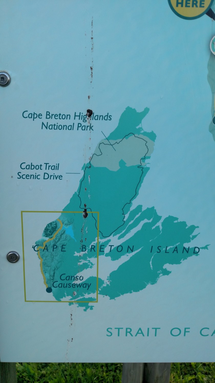
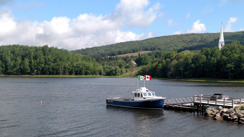
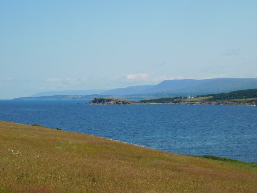
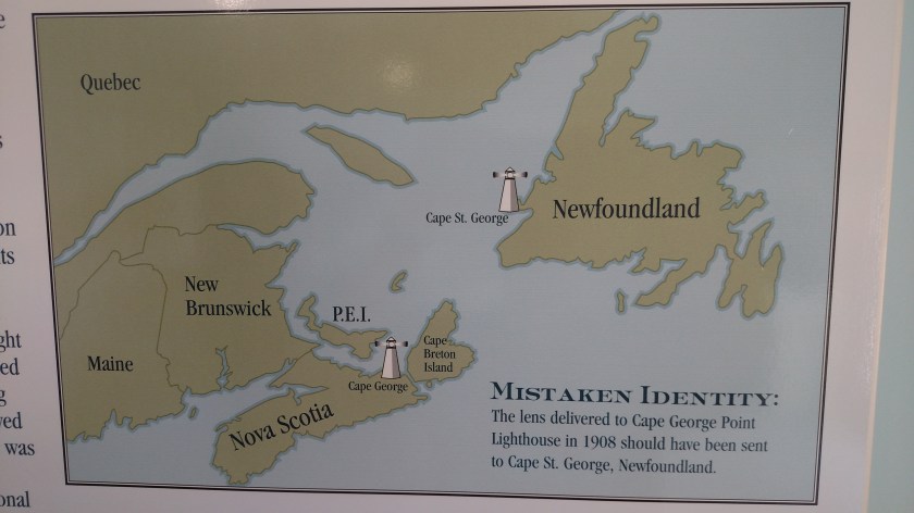
As I said, Newfoundland, the island, is also very big. Here is a picture I posted previously showing all of the Maritime provinces I will be visiting during this trip (all of them but Labrador). Newfoundland, at over 42,000 square miles, is almost as big as New Brunswick and Nova Scotia combined.

IMG_20190721_115347018

I was hoping to take a ferry over to Labrador to see a few things, and to say I’ve been there, but the length of the ferry ride and the wait between rides made it too time consuming so I will have to do it on my next trip up here.

Newfoundland and a small part of Labrador have their own time zone, thank you very much. Curiously it is one HALF hour ahead of Atlantic Time (which itself is one hour ahead of Eastern Time). Most of Labrador is Atlantic but the extreme southeast portion closest to Newfoundland is NL Time.

I will make a separate post about Labrador.


I noted on the instructions for the ferry that when I return to Nova Scotia I may not bring back “plant material or produce” from either Newfoundland or Labrador. They also do not want me to bring back dirt (soil) on my car and may wash it before I drive on board.  Apparently what happens on Newfoundland STAYS on Newfoundland…

Lobster!!

July 22, 2019

IMG_20190721_104200273

My friend and frequent commenter Shawn pointed out that I mentioned a lobster interpretive center in the “New Glasgow to Antigonish” post without providing any details. The “center” was in a small restaurant and basically amounted to several pictures and posters on the wall with lobster facts and trivia. Here are some examples:


Lobsters are located in all the oceans of the world

A male is called a Cock, a female a Hen and a young lobster a Chicken

To evade predators lobsters can quickly curl and uncurl their abdomens and thus propel themselves at speeds of up to several feet per second

They can be left or right handed (clawed, if you will)

They listen with their legs and smell with their feet

Their blood is colorless

The largest lobster on record weighed 44 pounds and was caught in Nova Scotia in 1977

wjbq

(Photo credit: wjbq.com)


So now you know!!

My Journey to Meat Cove, Nova Scotia

July 23, 2019

Tuesday I drove around the top of Cape Breton Island counter-clockwise. My departure from where I was staying in North Sydney was delayed twice by rain which was moving through the area. I started out mid-morning hoping to get up to Cape Breton Highlands National Park about the time it looked like the rain might stop. I turned around when I got as far as the bridge near St. Ann’s as the weather over on the other side looked really dismal. I returned home and left again late morning. I still drove through quite a bit of rain but it stopped just about the time I got to the Park entrance.

At the top of the Park I took a side road which would take me up to Meat Cove, the furthest point north one may drive in Nova Scotia.

IMG_20190724_071442029

Once I got to Capstick I stopped to take this photo of the storm clouds which were now moving away from the island.

IMG_20190723_130001997

There was a man on a tractor across the road behind me and when I heard him turn it off I turned around and waved. He asked me a question and since I don’t always hear very well I couldn’t understand him. When I determined his first question was “Where are you from?”,  I told him.  I couldn’t understand his next question either so I walked over to his side of the road.  His second question was “Do you watch Fox News?”.  I could then guess where our conversation would go and spent the next 10 or 15 minutes having an animated conversation with this very opinionated local about the state of politics in America, not something I had planned to do while I was in Canada.  It ended peacefully but I was glad we weren’t in a bar and having our little talk after a few beers.

That’s really not fair – he was quite nice about it but did have strong feelings about how the Fox commentators are all fantastic and how Trump is doing a great job and should easily get re-elected (neither opinion of which I share).

Here I thought this was a quick hit and run photo op (I left my car running) and ended up yapping with this guy for 10 or 15 minutes while my car was sitting there burning up $3.60/gallon gasoline.

After our talk I took a few more photos and proceeded up the road. This is looking ahead from where I was:

IMG_20190723_132150789

And just around the bend ahead this was looking back:

IMG_20190723_132348487

The road up to this point had been surprisingly good – paved and in good condition. But for the last five miles it alternated between pavement and gravel – well, dirt which was now mud from the overnight and morning rain. It would be muddy for maybe 3/4 of a mile then there would be a short paved patch. That pattern repeated until I got to Meat Cove. Why on earth they didn’t just pave the whole thing rather than just small sections I’ll never know. The muddy parts had lots of ruts and potholes (though not as bad as the road in California I reported about last year) and I had to weave back and forth to try and find the best spots.

I finally got within sight of little Meat Cove, a tiny fishing village and popular place for campers and hikers. I have no idea how it got it’s name.

IMG_20190723_133853421_HDR

IMG_20190723_133344300_HDR

Land and forest continue north up to the Cape St. Lawrence lighthouse at the tip of the Cape.

This was part of the road I drove in on. No potholes on this particular stretch but believe me, that was the exception not the rule.

IMG_20190723_133356948

IMG_20190723_133400831

Cape Breton Highlands NP – North side

July 22, 2019

Once I passed the Cap Rouge lookoff (see “West side” post below) the road turns away from the water and climbs up into the mountains.  The first one, French Mountain, is a little less than 1,500 feet tall.  Once up there I crossed both French Mountain and MacKenzie Mountain on my way up to where The Cabot Trail crosses the top of Cape Breton Island from west to east.

IMG_20190724_071442029

The scenery was heavily wooded, not unlike driving in the mountains of western Virginia or Colorado.  Here are a mix of photos taken Monday and Wednesday.  Because of the dynamics of moist air coming from over the water and climbing the mountains it was fairly heavily overcast all three days I was up there.

IMG_20190722_133945430_HDR

IMG_20190722_134005386_HDR

IMG_20190722_134143547_HDR

The photo below is northwest from a lookoff area towards the Gulf of St. Lawrence.  Hard to see but yes, the water is out there! (It’s also in the two photos prior to this one).

IMG_20190722_134730851_HDR

And this is looking east, down into the MacKenzie River valley.

IMG_20190722_135354631_HDR

As I got up to where the road would start turning east I could start to see Pleasant Bay.  This is looking northeast.

IMG_20190724_121509356_HDR


IMG_20190724_121958738_HDR

The road then started to descend down a series of switchbacks to near water level and I could see the town of Pleasant Bay below.

DSCN7985

The large white structures you see are big yurt-like buildings.

DSCN7983

The Cabot Trail continued east, going in and out of the Park at various points until I reached the East side of the island(see earlier post below).  In areas outside the Park there were lots of small restaurants, gift shops, motels and the like.

On Tuesday I did what felt like “off-roading” up to the fishing town of Meat Cove, the furthest point north one may drive in Nova Scotia.  It was an interesting trip and I will make a separate post about it.


Tomorrow I’m off to Newfoundland!

July 24, 2019

The past few nights I have been staying in North Sydney, Nova Scotia.  I picked this town as a base to see Cape Breton Highlands National Park AND because it is the port where the ferry leaves to go to Port aux Basques, Newfoundland.

This was the ferry which was at the port Monday night when I arrived here:

IMG_20190722_191700758_HDR

The ride is supposed to take between 5 1/2 and 7 hours, depending on the weather.  I will have plenty of time on that journey to review pictures and assemble more posts about the Park and some other things I saw the past few days.  I also plan to post some more general comments and observations about my first two weeks in Canada.

I don’t know how reliable the internet will be for the 10 nights I am up there.  Most of my stops are in pretty rural areas and it may not be until I get to St. Johns on the east side of the island that I’ll be close to a major town.  Don’t worry, I’ll just keep accumulating photos and writing the commentary and I’ll get caught up eventually!

Depending on what time I wake up tomorrow morning I may sneak a few more posts in before I report to the port and check-in.  They say there is wifi on the ship but we’ll see if that’s true and how good it is.  I may also get some work done in the waiting area before we board.

Cape Breton Highlands NP – West side

July 22, 2019

Monday I drove north along the west side of Cape Breton Highlands National Park (NP).  The pictures I took Monday didn’t turn out very well and I went up to the Park again Tuesday and Wednesday.  These photos are what seem to be the best shots from all three days (so you will see variations is sky quality and cloud cover).

IMG_20190724_071404553

Shortly after entering the Park at the southwest entrance the first thing you come to is Grande Falaise, a rock wall that kind of reminds me, in shape, of Half Dome in Yosemite National Park (although they are very different in composition and height).

IMG_20190724_110700458_HDR

Next is a small parking area to the left just before the first uphill climb.  The road will go up and down along the coast for a while before making a final ascent into the mountains.  This post will cover the territory between Park entrance and that climb into the mountains.  I will make another post about the mountains and the northern edge of the Park.  The post below this one covers the east coast portion of the Park.

This is the view from atop the hill looking back.


IMG_20190723_161738405_HDR

And a view from the first lookoff area at the coastline looking south:


IMG_20190723_161705194_HDR


IMG_20190723_161714387_HDR

The road then goes back down near the water level.  Once down there there are two ponds, one to the left as the road turns towards the water and one on the right.

Left side of the road, looking south:

IMG_20190724_111240958_HDR

Right side of the road, looking north:

IMG_20190724_111308684_HDR

I drove out to the end of the parking area to the right of the pond in the first photo above to see Pillar Rock:

IMG_20190724_111459718

And some shore birds out on a rock looking right towards the Gulf:

IMG_20190724_111520335

The road then straightens out parallel to the water on it’s left, which at this point is the Gulf of St. Lawrence.  When I got out to the southern coast of Nova Scotia about a week ago I said that from that point forward all views of non-lake “big water” would be the Atlantic Ocean.  That was NOT correct!  Once I got up to the north coast near New Glasgow the large bodies of water off the coast are influenced by the St. Lawrence River which separates the northeast US from Canada.  It dumps out into the Atlantic Ocean north of here.  From this side of Cape Breton Island you are seeing the Gulf of Saint Lawrence and when on the east side of the Island you are, in fact, seeing the Atlantic.

Now that we have that straightened out….  Looking back south once the road gets out to the Gulf one sees Presq’ile:

IMG_20190724_111741818

And looking north the road continues ahead of me:

IMG_20190724_111813508_HDR

The road then climbs another hill and I stopped at the Cap Rouge Lookoff.  This is the view of the road looking north, ahead of me:

IMG_20190724_112057551

DSCN7965

And looking back from where I just traveled:


IMG_20190724_112634238_HDR

When I drove the road going the other direction Tuesday I was struck by how different this looks when actually seen from the road (as the driver sees it) so I donned my trusty Safety Sam vest and stood out in the road taking pictures:

IMG_20190724_113925029_HDR

And from off the left side of the road – same spot:

IMG_20190723_160115671_HDR

Cap Rouge was also where I took the pictures of the clouds Monday.  This was looking up at the mountains from that parking area:

IMG_20190722_130655519_HDR

IMG_20190722_130658965_HDR

The first mountain the road would be climbing is French Mountain, which is just under 1,500 feet tall.  On Monday the low cloud deck was just below the very tops of the mountains.  I will be making a separate post about the mountains and the north edge of the Park.


Cape Breton Highlands NP – East side

July 22, 2019

Monday when I arrived on Cape Breton Island I drove around the upper end of the island clockwise – up the west side and down the east side.  I just reviewed the pictures from the west side and am very disappointed at how they turned out so I am going to try again today and hopefully post better quality pictures.  Despite the clear skies which appeared in the pictures I presented in “The Cabot Trail” post, when I entered the Cape Breton Highlands National Park (NP) at the southwest corner of the Park, low clouds had developed and the pictures are very poor.

For example….

IMG_20190722_130658965_HDR

IMG_20190722_135955869_HDR

Upon reaching the northwest corner of the Park I drove over to the other side and it was like I was in a totally different world….

IMG_20190724_071344457

At the top of the map is Neil’s Harbour:

IMG_20190722_145857387

IMG_20190722_150013288

This next shot is the same body of water but looking back west, towards the road which I am now traveling south on.  The thick clouds on the west side didn’t make it all the way over across the wide northern part of the island.

IMG_20190722_145943230

Further south, Black Brook Beach:

IMG_20190722_150819350_HDR

IMG_20190722_150847194

IMG_20190722_150912625_HDR

And further yet, MacKinnons Cove:

IMG_20190722_151336946

IMG_20190722_151542431

IMG_20190722_151606576

Next up, Green Cove:

IMG_20190722_151851782

IMG_20190722_151856249

IMG_20190722_152025865

IMG_20190722_152052735

And last stop as I approached the southeast corner of the Park, Lakie’s Head:

IMG_20190722_152556171


IMG_20190722_152620634

In the bottom photo you can see Ingonish Island (on the left), Middle Head (a peninsula sticking out from the mainland, in the center of the photo) and Cape Smokey off in the distance (between those two).  Those two photos also demonstrate the effect of clear, blue skies on taking photos of water.  The top photo was looking northeast, over the Atlantic Ocean and with clear skies.  The bottom photo was taken looking due south, and high, thin clouds were moving in, creating a more grayish look to the water.

There was a little more to see in the Park but there was road construction which restricted vehicles to only one alternating lane of travel and stopping within the work zone was prohibited.

More rain is coming in today (I am posting this Wednesday morning) but after I shower I will head back up to the west side and take more photos.  I was up there Tuesday afternoon and am now kicking myself (Ow!) for not taking more photos then.  They wouldn’t have been ideal either but they probably would have been better than Monday’s photos.


The Cabot Trail

July 22, 2019

I traveled along most of this 185 mile loop yesterday.  It continues up the west coast of Cape Breton Island from Margaree Forks, where Route 19 ended.  I would be on this road for about 25 miles before crossing in to Cape Breton Highlands National Park.  I would be in and out of the Park (the darker green area on the map below) several times before exiting it on the east coast at Ingonish Beach.  The Cabot Trail continues south to Hunter’s Mountain before looping back northwest to Margaree Forks.

IMG_20190722_205126798

Here are some of the things I saw:

IMG_20190722_112743777

Yet another harbor, this one at Grand Etang.  On the right you can see a fishing boat that had just come back in to the harbor.

IMG_20190722_113826428

This is a majestic church in Cheticamp:

IMG_20190722_115135065

IMG_20190722_115306415

And this was a view crossing a bridge over the Cheticamp River, just before the southwest entrance to Cape Breton Highlands National Park:

IMG_20190722_121501020_HDR

I am posting this Tuesday morning.  I am planning to go back to the north end of the island later today but I woke up to steady rain which has let up slightly but there is another batch coming.  There may be a break later so I need to get up there before it does.  I wasn’t expecting rain until tomorrow so maybe it will get in and out early…

I may get back to North Sydney early to post more of yesterday’s photos and get a badly needed haircut!


Ceilidh Coastal Trail – Post 1 of 2

July 22, 2019

Monday I headed east from New Glasgow and crossed a bridge onto Cape Breton Island.

IMG_20190722_205039554

Cape Breton (pronounced BRETT-on) Island covers almost 4,000 square miles, making up roughly 18% of the total area of Nova Scotia.  Most of the province is a peninsula attached to the southeast portion of New Brunswick.  Cape Breton Island extends northeast from the peninsula.

After coming east from New Glasgow on TCH-104, the scenic route I drove on Monday began in the southwest corner of the island, on Highway 19 (aka the Ceilidh Coastal Trail).  A Ceilidh (pronounced KAY-lee) is a social event comprised of Scottish or Irish folk music, singing, traditional dancing and storytelling.

IMG_20190722_205114608

In Canada what we in the US call a scenic overlook is referred to as a “look-off”.  I stopped at this one shortly after I started driving north.

IMG_20190722_082627225

This was looking back towards the way I came over from New Glasgow.  The mainland juts out to the right on the horizon

IMG_20190722_082405797_HDR

IMG_20190722_082418863_HDR

IMG_20190722_082719634

Next up, the little town of Judique – with a musical history.

DSCN7880

This is the Celtic Music Interpretive Centre in Judique.

IMG_20190722_084114166

This was a little park & walking trail just past Judique.  Note that the bicycle rack is in the shape of music notes.

IMG_20190722_084509488

IMG_20190722_084604865

This was a map near the walking trail showing the island and the three main components I would be seeing during today’s drive, the Ceilidh Trail (inside the box), The Cabot Trail which I would drive the majority of next, and Cape Breton Highlands Park near the top of the island.  I will be driving all the way out to Meat Cove at the northern tip on Tuesday.

IMG_20190722_084654170

This was the view of an island a short ways offshore, looking west near Port Hood.

IMG_20190722_091404269

And further up the road I started seeing mountains.  The island becomes more mountainous as you drive north.

IMG_20190722_092911212

IMG_20190722_093607077_HDR

Ceilidh Coastal Trail – Post 2 of 2

July 22, 2019

Continuing on up the west coast of Cape Breton Island this was near the town of Mabou:

IMG_20190722_093712606

IMG_20190722_093925470

IMG_20190722_093954107

IMG_20190722_094106570

Further up the road were these two small abandoned houses.  A man was mowing the yard with a large John Deere tractor but conveniently drove behind the house on the left as I was preparing to take the photo.

IMG_20190722_095223418

Next up, a little town of Inverness.  This is their harbor, located on MacIsaac’s Pond on the south side of town.

IMG_20190722_100713662

As you can see, this is their Visitor Center.

IMG_20190722_100952139

Further up the road I saw a dirt road leading left off the highway up to a graveyard on a hill overlooking the water to the west and the town of Whale Cove looking east towards the road:

IMG_20190722_104433855

IMG_20190722_104356355

Looking south:

IMG_20190722_105621902

Looking north:

IMG_20190722_104833779

IMG_20190722_105051274

This was taken with the digital camera, zoomed in towards the area seen on the left side of the photo above.  The mountains in the distance will include Cape Breton Highlands National Park.

DSCN7893

This the view driving in to Margaree Forks on Route 19, the Ceilidh Coastal Trail.  That highway ends here and I will turn left onto another road.

IMG_20190722_111249084

And this is the view after the bridge carrying the other highway on up the coast towards the Park.  That highway doesn’t have a number but is called The Cabot Trail and makes a huge loop.  If you look closely you’ll see two kayakers to the right of the bridge.

IMG_20190722_111836240

I will continue posting tomorrow starting with The Cabot Trail and continuing on into Cape Breton Highlands National Park.  I took over 320 photos today and need a little time to sort through them all.  I drove the Cabot Trail clockwise today and plan to drive it the other direction on Tuesday.  Unfortunately it looks like the next two days may be rainy so I’m glad I got some fairly good pictures today.