Yesterday I posted two photos of Chimney Rock National Monument rock formations as seen from Route 160. Those were taken in the early evening, after a storm had passed. I went back to Chimney Rock this morning and took pictures from various locations with the sun hitting the formations at different angles.
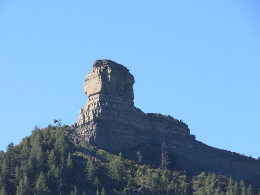
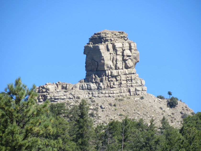
These were from roughly the same vantage point as those I posted yesterday.

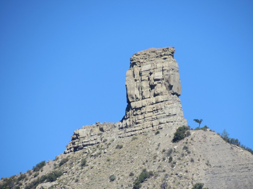
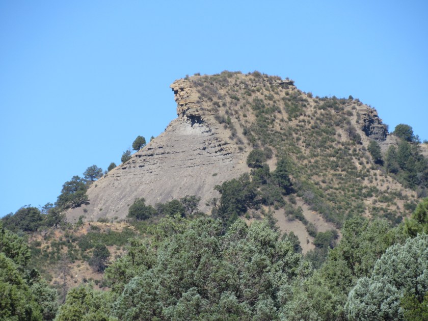
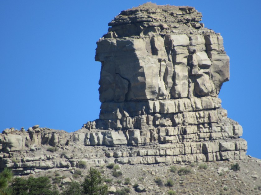
Next I went to the turnoff from Route 160 onto a paved road which takes you to the gravel access road. This gives the best illustration of a chimney on a rooftop.

These were from the paved road (Route 700, I believe).
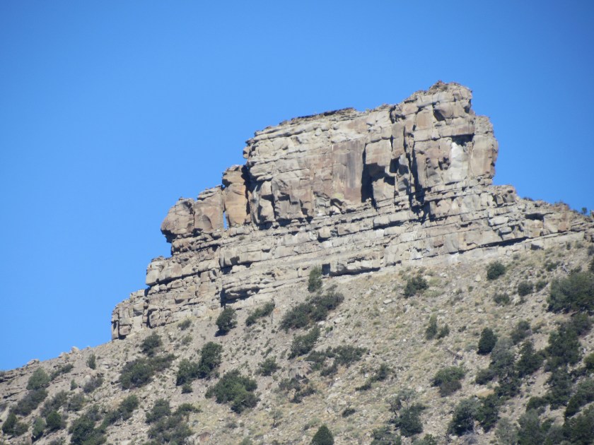
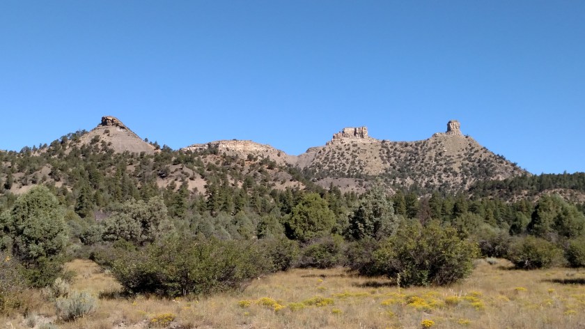
And I noticed a third formation, not visible from Route 160.
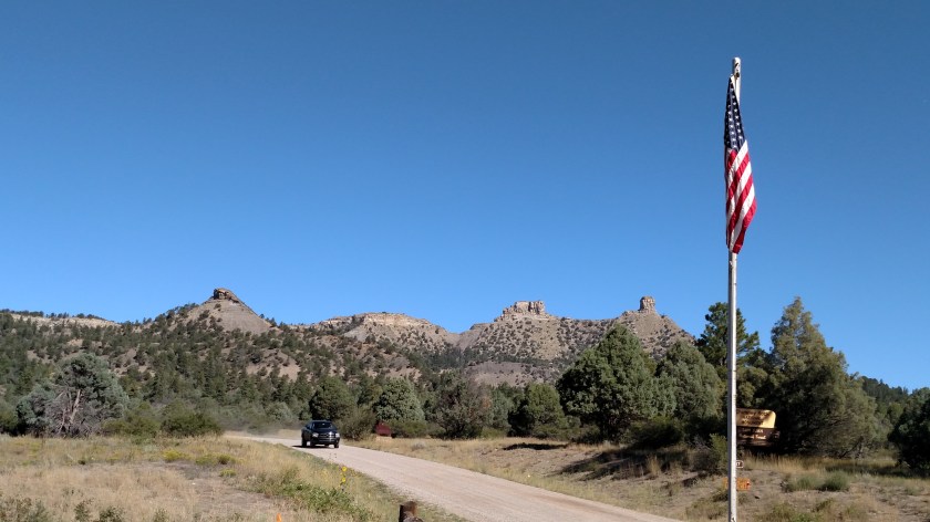
Then I reached the gravel access road. These were from the entrance.

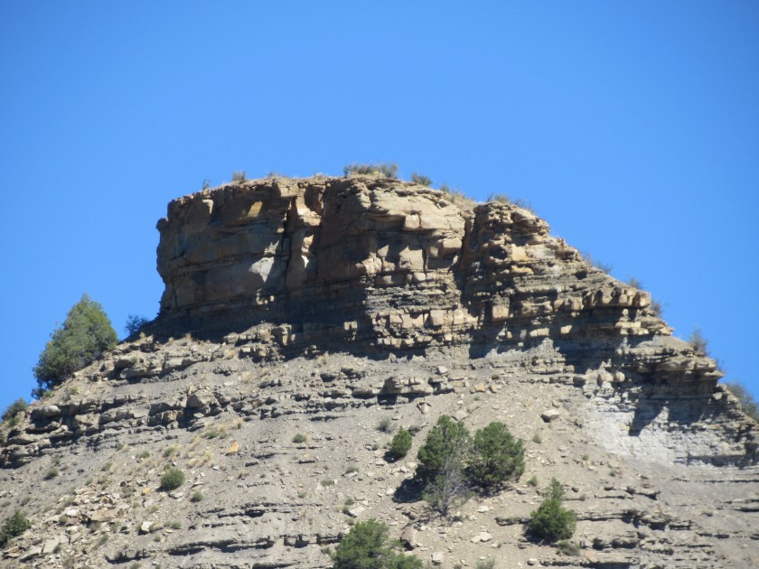
And finally from near the Visitor Center itself.
********
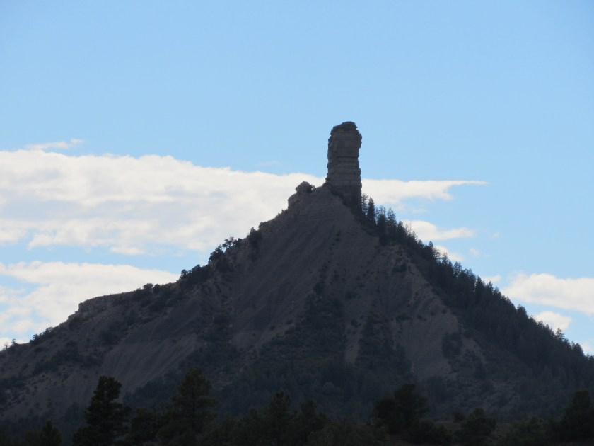
I then drove east on Route 160 towards Pagosa Springs and South Fork. Later in the day I decided to return to Durango rather than continue the loop north and got this shaded silhouette shot from some distance away. I tried getting the same shot the day before but it had just rained and it was too blurry to post.