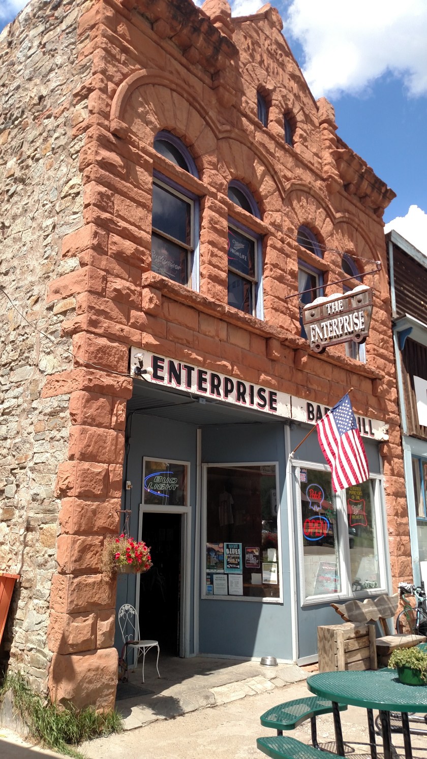
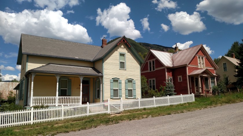
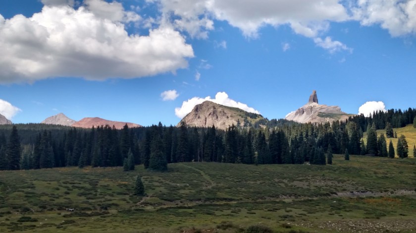
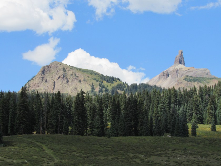
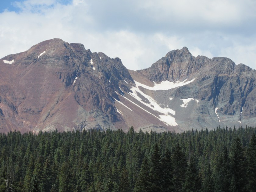
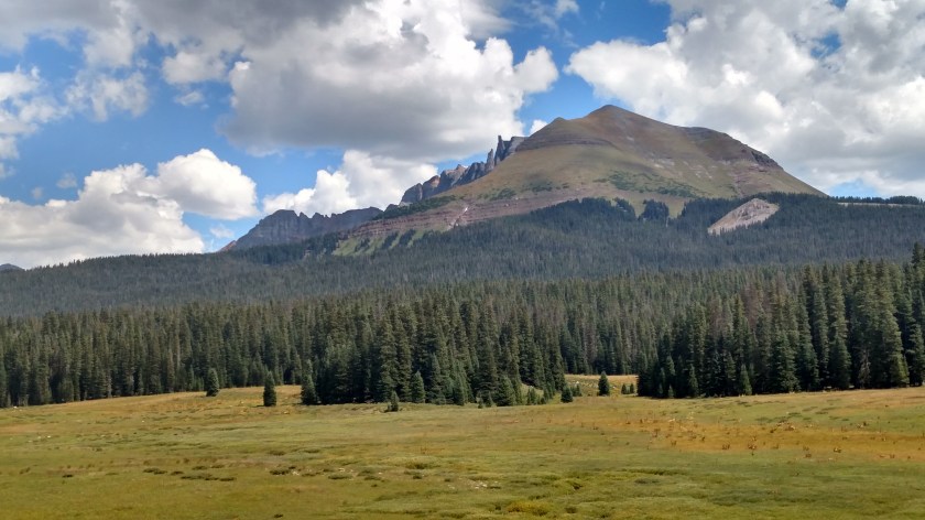
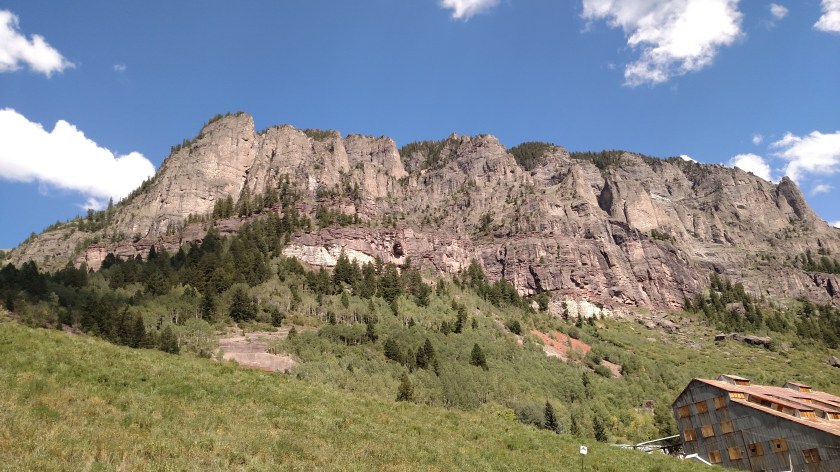
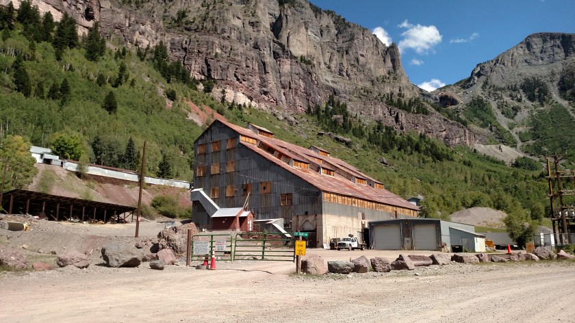
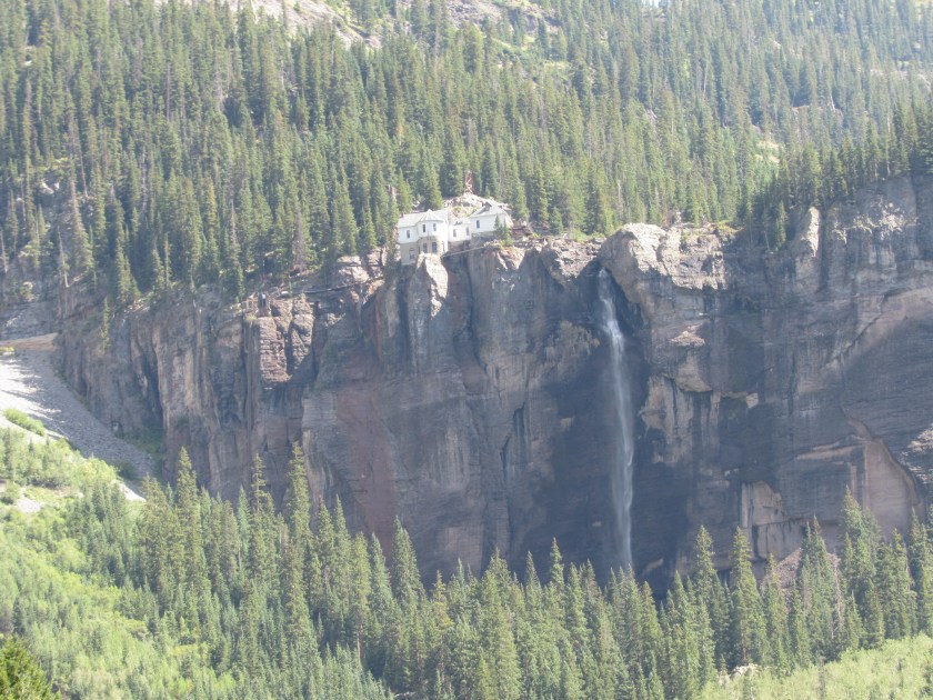
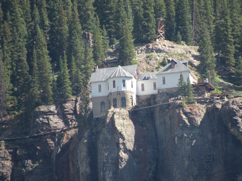
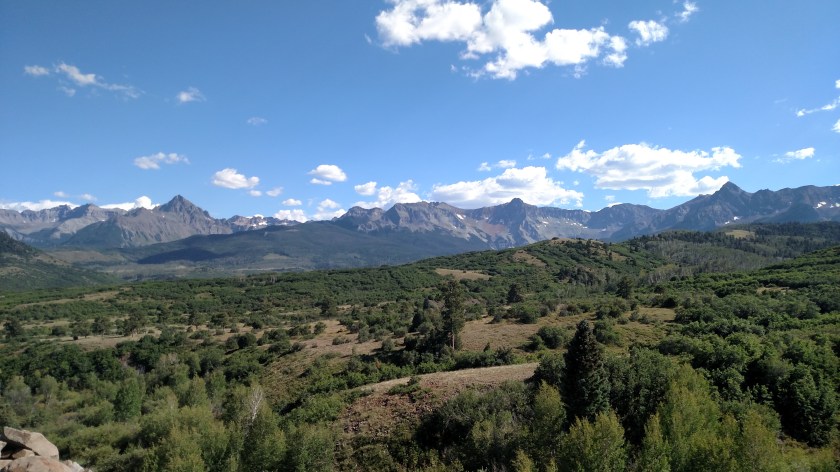
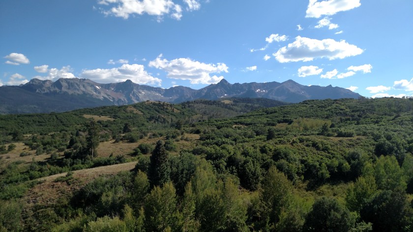
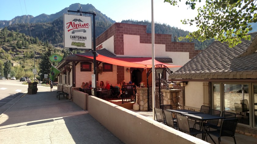
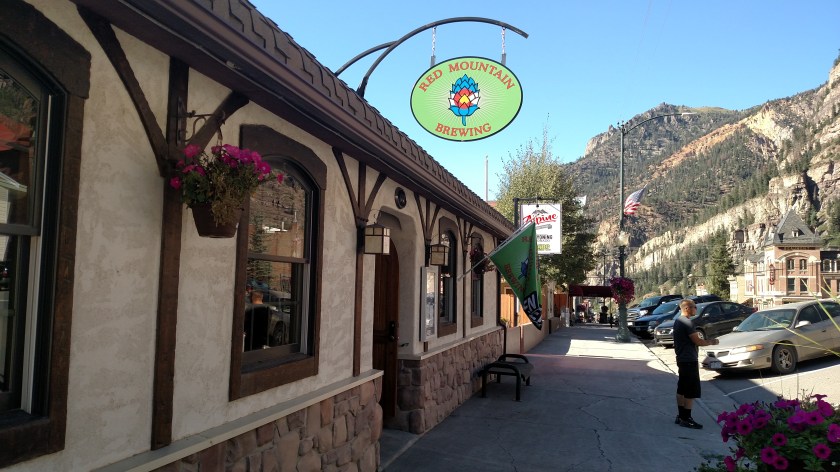
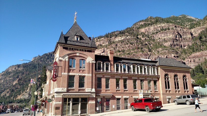
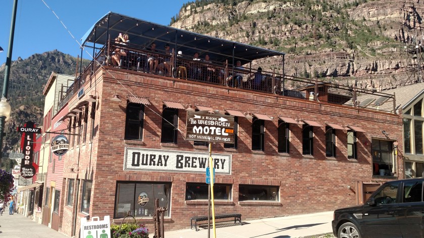
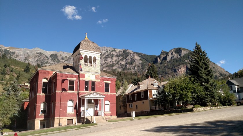
These were all taken in or near the little town of Ouray (pronounced OOH-ray), Colorado. This was a far north as I made it on Saturday while driving on the amazing Route 550, which my GPS informed me is also part of the “Million Dollar Highway” (and she’s never wrong…. You can’t see me rolling my eyes….).
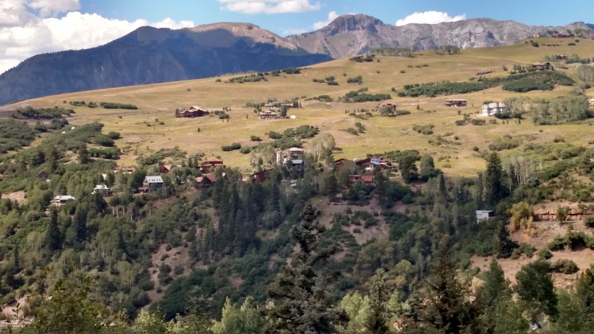
Based on the photo I took overlooking the town which I posted yesterday, it is hard for me to believe that the population, according to the 2010 census, is only 1,000.
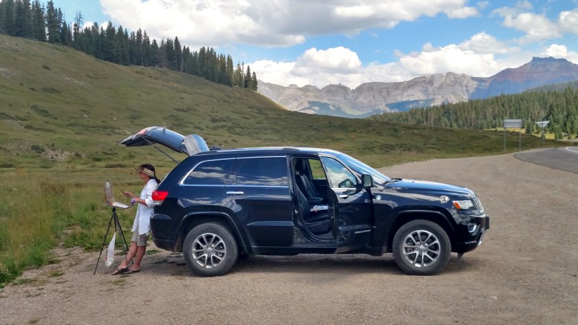
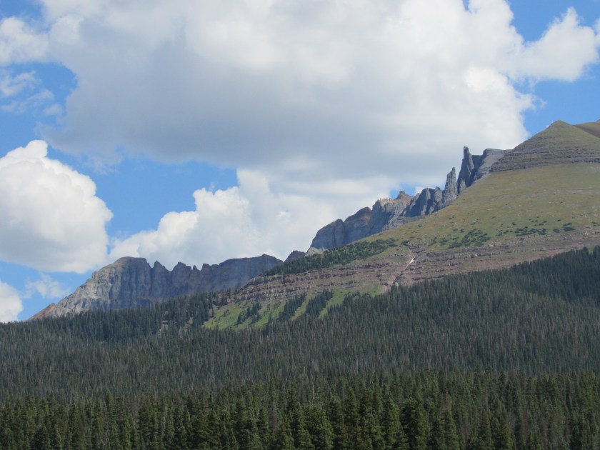
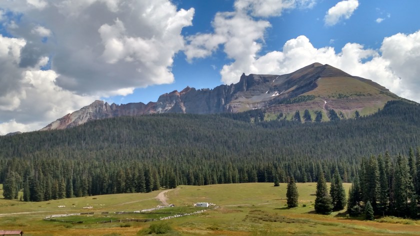
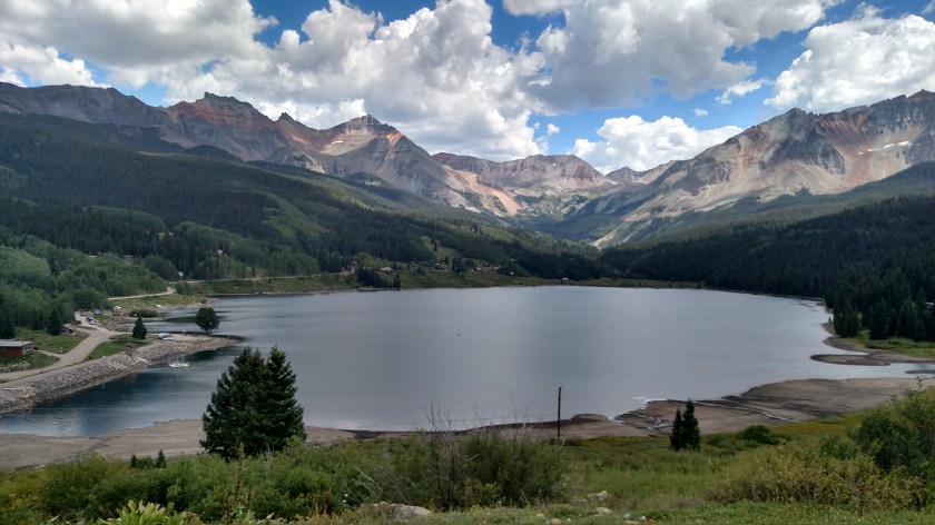
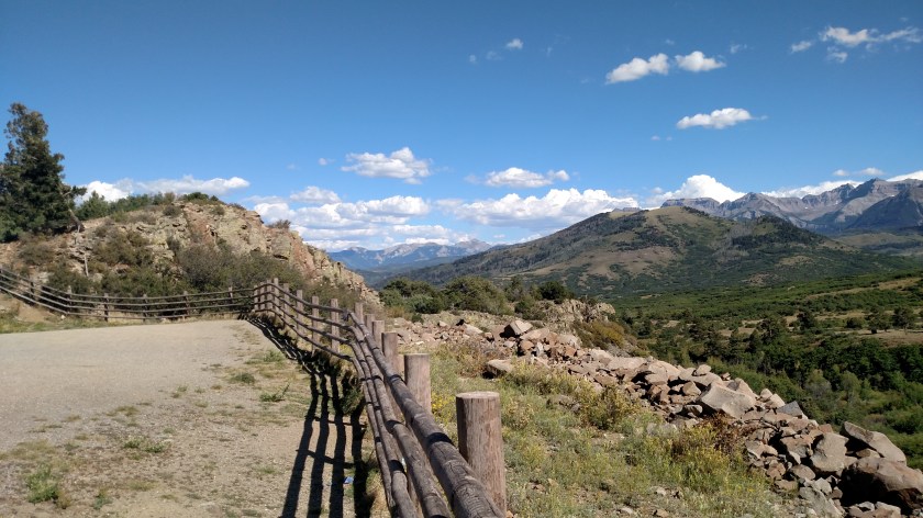
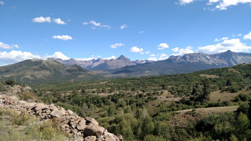
Two things I should have mentioned yesterday. I’ve already raved about how incredible the drive was. It occurred to me later that all those amazing sights (and more that I saw or took photos of but didn’t post) were all in only a 75-mile stretch of road! Second, I’ve never seen so many Jeeps in one day in my life.
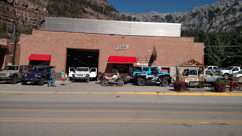
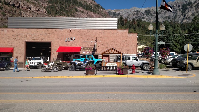
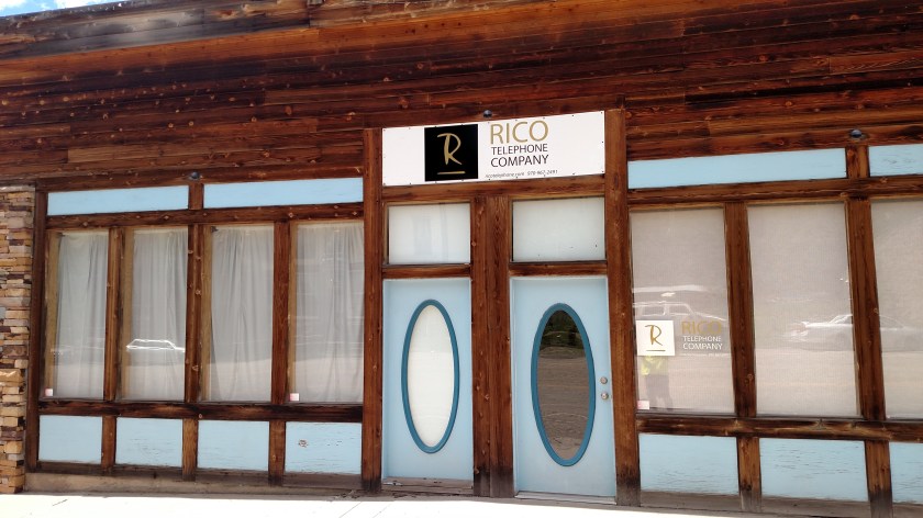
This establishment in Ouray serves all your Jeep purchase, rental and repair needs. Jeeps (and Subaru station wagons) seem to be the vehicles of choice out here. I’ve also seen lots and lots of BMW’s on the road in the area due to the BMW “Drive the 4 Corners” gathering being held at the Purgatory ski area, about halfway between Durango and Ouray.


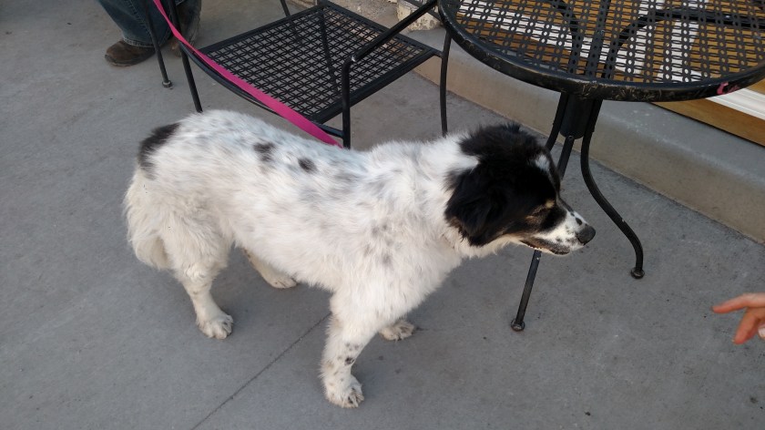
A NEW MASCOT FOR THE BLOG? (Sorry, Regan)
I saw this adorable Australian Shepherd puppy resting in the shade on Main Street. Well, he was trying to rest. For some reason people just wouldn’t leave him alone. Go figure….

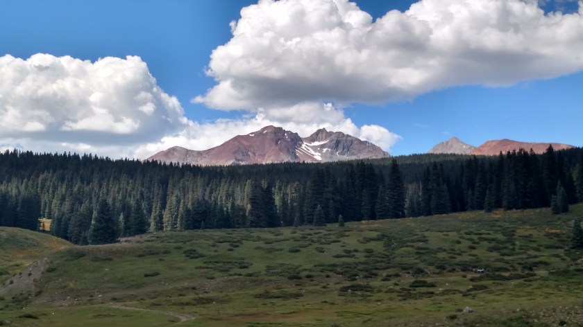
I took this next photo (while stopped in the road, Shawn) heading south on Route 550 out of Ouray.
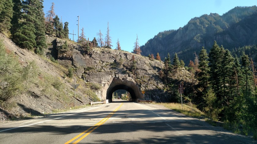
I stopped in the road for several reasons: A) there was no traffic within sight behind me, B) I knew Shawn would be upset with me if I took another picture while driving, and C) I wanted to say a quick prayer before driving the next mile of Route 550 as I thought this might be the last photo I’d ever take.
Yesterday I drove north on 550 and before I reached Ouray I drove this treacherous mile of road on the “inside” of the highway (the lane between the hillside above and the canyon below). The highway is nicely paved, and is in good condition. There are signs that warn drivers that it is a rock slide zone and that they should not stop once committed to driving on it. No big deal.
After reaching Ouray yesterday I turned around to go back to Durango. Now I was driving on the “outside” of said road, right next to the canyon. This short stretch of highway twists and turns as mountain roads often do. This mile of highway has no guardrail. This mile of highway affords the driver (probably the only person in the vehicle with his eyes open) a clear view of the straight-down drop into the abyss where he will plummet if he strays off the road. And I mean STRAIGHT DOWN, not just a steep embankment. You’d better not blow a 1.2 on the breathalyzer before you drive this road. This mile of road shouldn’t even be legal.
Needless to say, I may have exceeded the very low speed limit slightly both days in my high anxiety haste to get past this God forsaken stretch of road. Today I had made a big clockwise loop northwest from Durango and I was now at about the two o’clock position on a clockface heading towards 3 o’clock, hoping I would live that long.
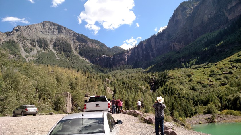
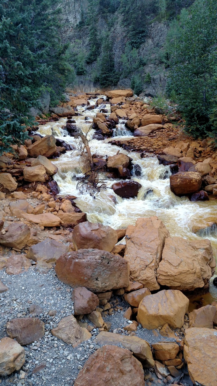
After I calmed down I continued on my way. I stopped at this yellowed-water waterfall, which I had driven past the day before (though I did post photos of the stream below it).
Looks like the blog will be able to continue. Tomorrow I’m off to Mesa Verde National Park and the 4 corners area, not far from Durango (where Arizona, New Mexico, Colorado and Utah all converge at one point).