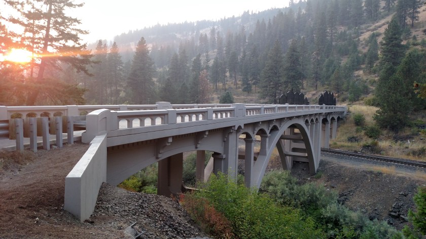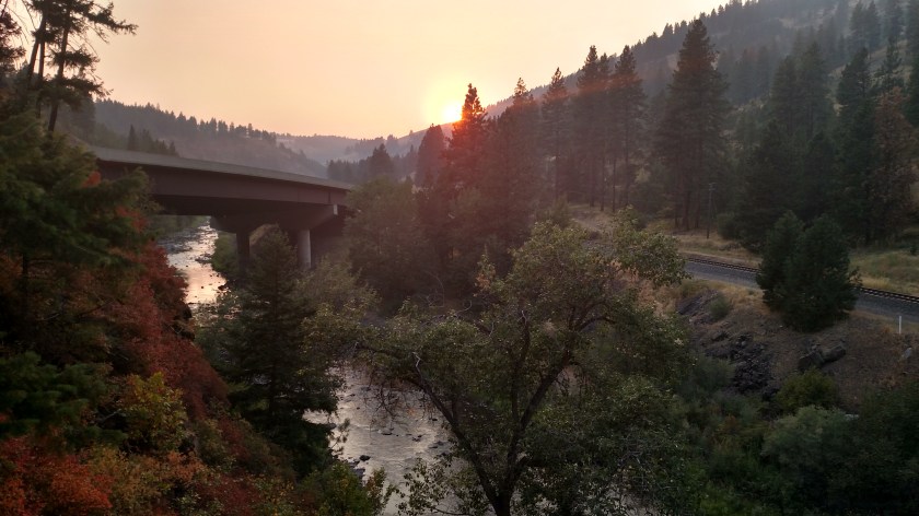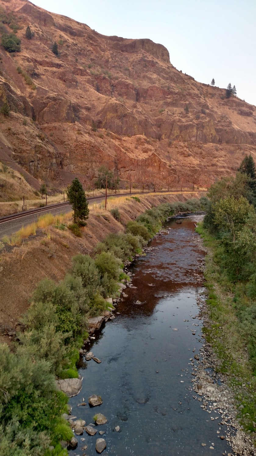


After leaving Portland and driving east along the Columbia River yesterday I spent the night in the small town of La Grande, in the northeast part of Oregon. Today my goal was to drive two scenic loops, and then visit Hell’s Canyon before heading to Boise, Idaho.
I had intended to drive south on interstate 84 from La Grande to Baker City, where I would drive the smaller of the two scenic loops to the west of the highway. Instead, I took Route 230, a small road which goes south toward Baker City, at the recommendation of some local folks I had spoken with the day I arrived. The views along that road were gorgeous and I’m glad they told me about it.
When I got to Baker City I learned that it wasn’t a good idea, given my big plans for the day, to drive that loop. I was going to go in a clockwise direction, starting at 3 o’clock on a clockface. Well, when I would have gotten up around 11 o’clock the road was closed due to a relatively small wildfire and I would have had to backtrack. That would have taken too much time so I abandoned that plan and took the interstate back up to La Grande.
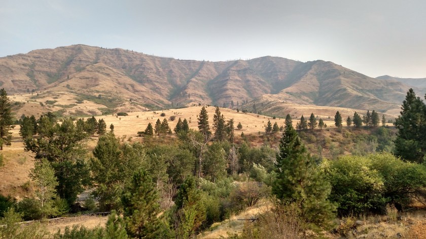
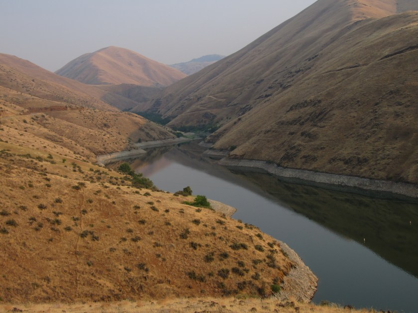
From La Grande I did a much bigger scenic loop, again in a clockwise direction, which would ultimately take me to Hell’s Canyon. That is how I ended up at Wallowa (pronounced wa-LAH-wa) Lake. I think every person I’ve met along the way that learned I was taking this route from La Grande told me to be sure to see the lake.
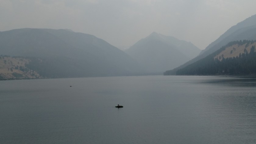
The top photo was my first view of the lake. The middle photo is of the young lady kayaking in the top photo (pretty good zoom lens, eh?). The bottom photo shows the lake from another vantage point. What you can’t see in that picture is yet another mountain with a little snow on it, in the distance right in the V created by the mountains in the photo.
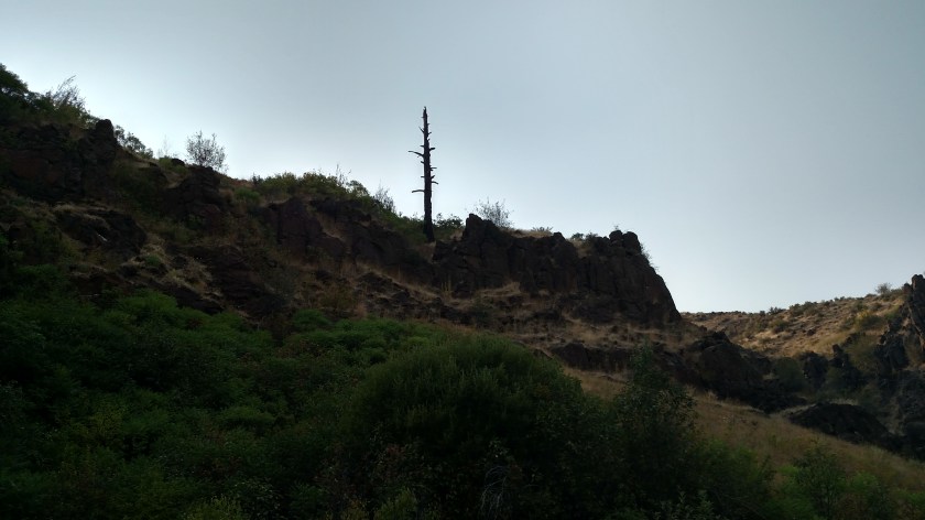
As you can see, wildfire smoke greatly reduced visibility. I’m going to look online to see if I can find normal pictures from both these vantage points. I think they would be spectacular. These mountains also get a lot of snow (and there is a ski-lift type gondola which takes people up one of the mountains) so they call this area the Oregon Alps.