Where the deer and the antelope play


IMG_0721

IMG_0741

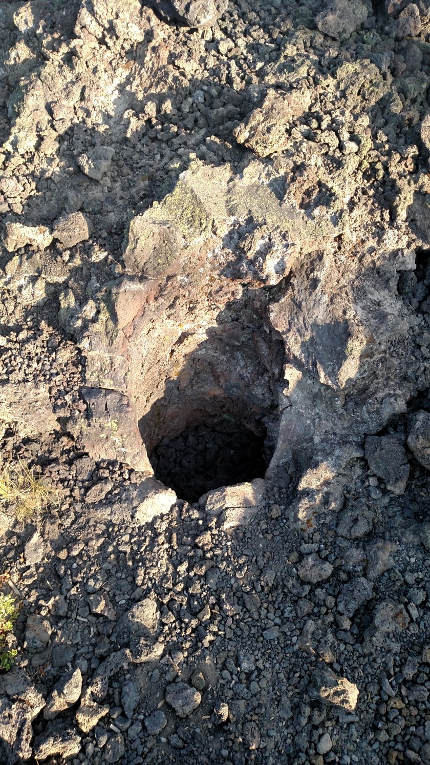
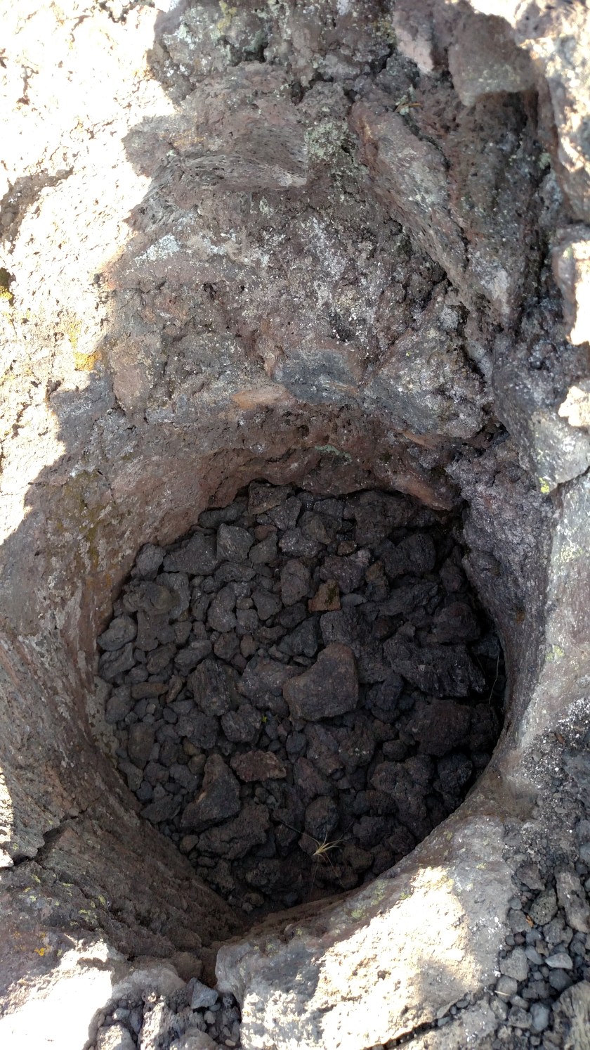
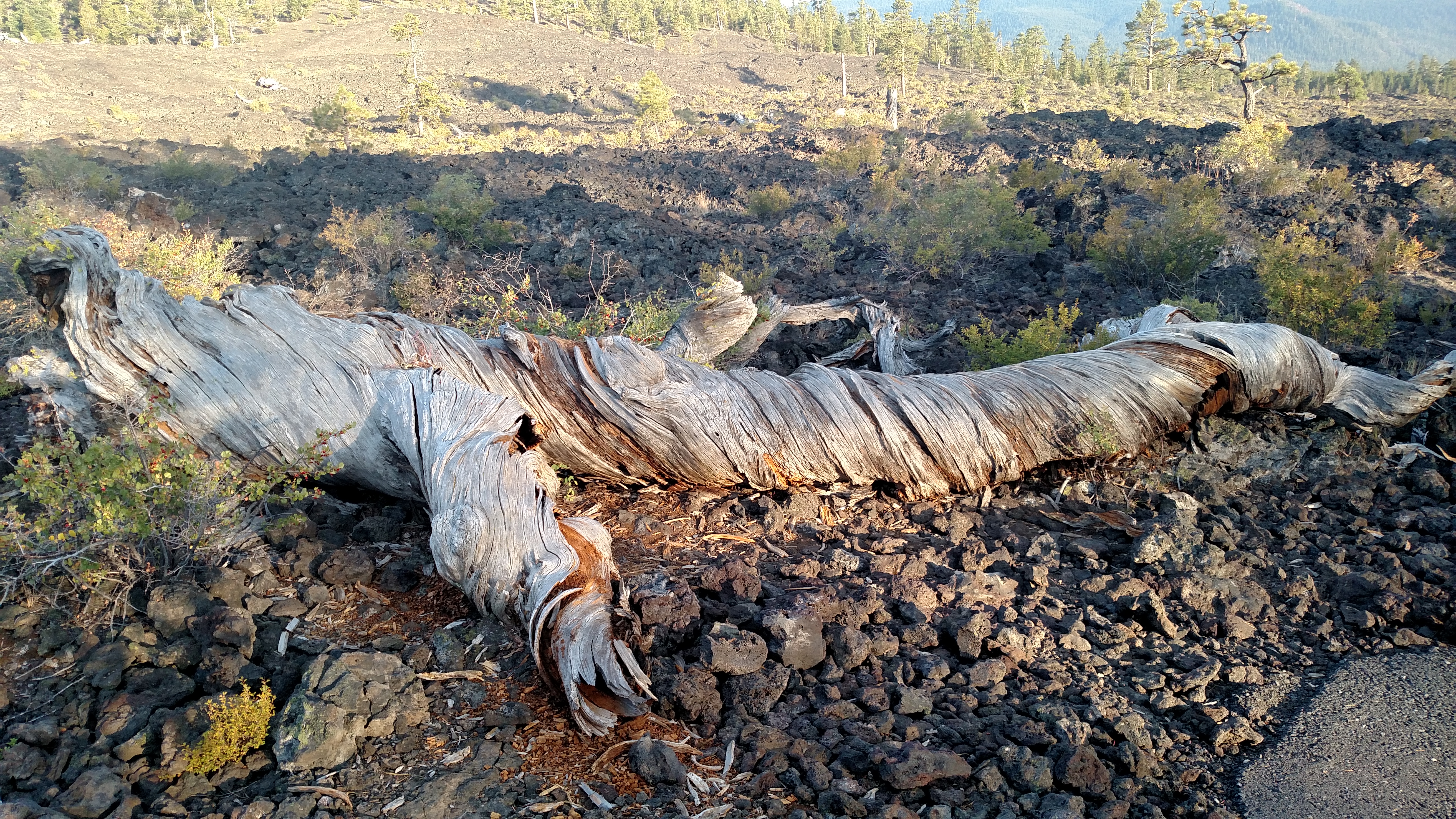
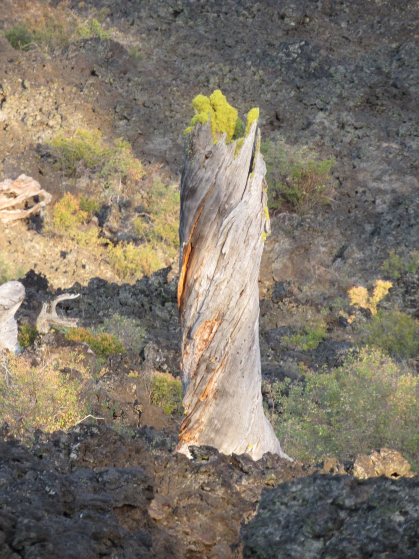
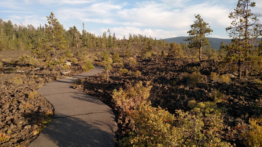
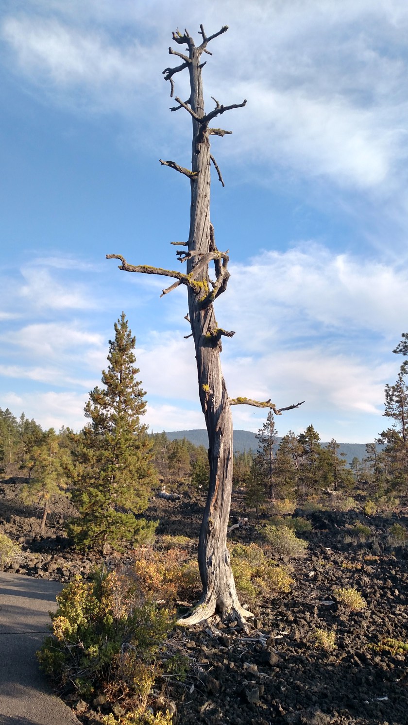
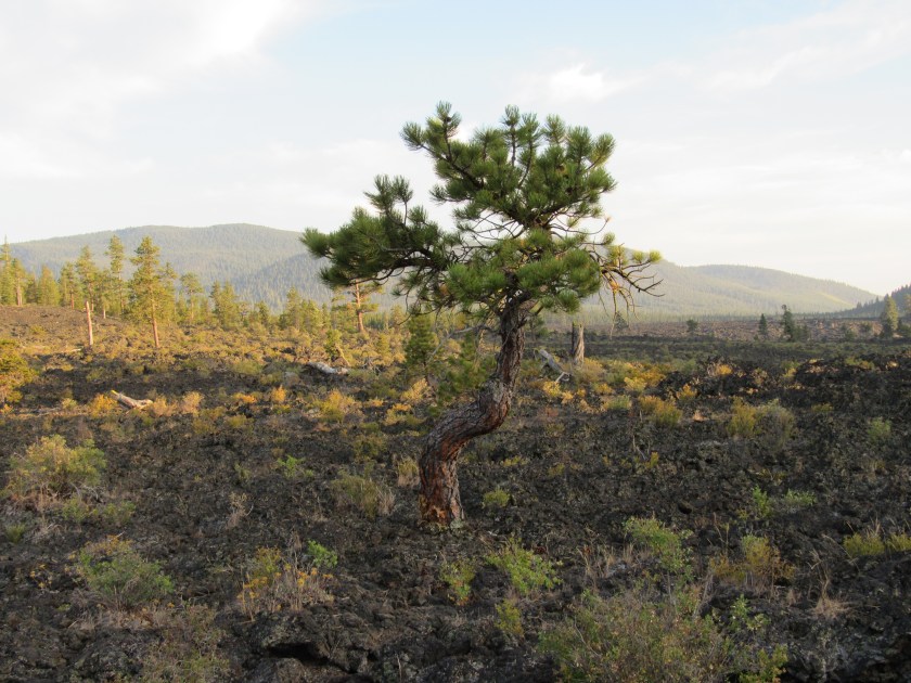
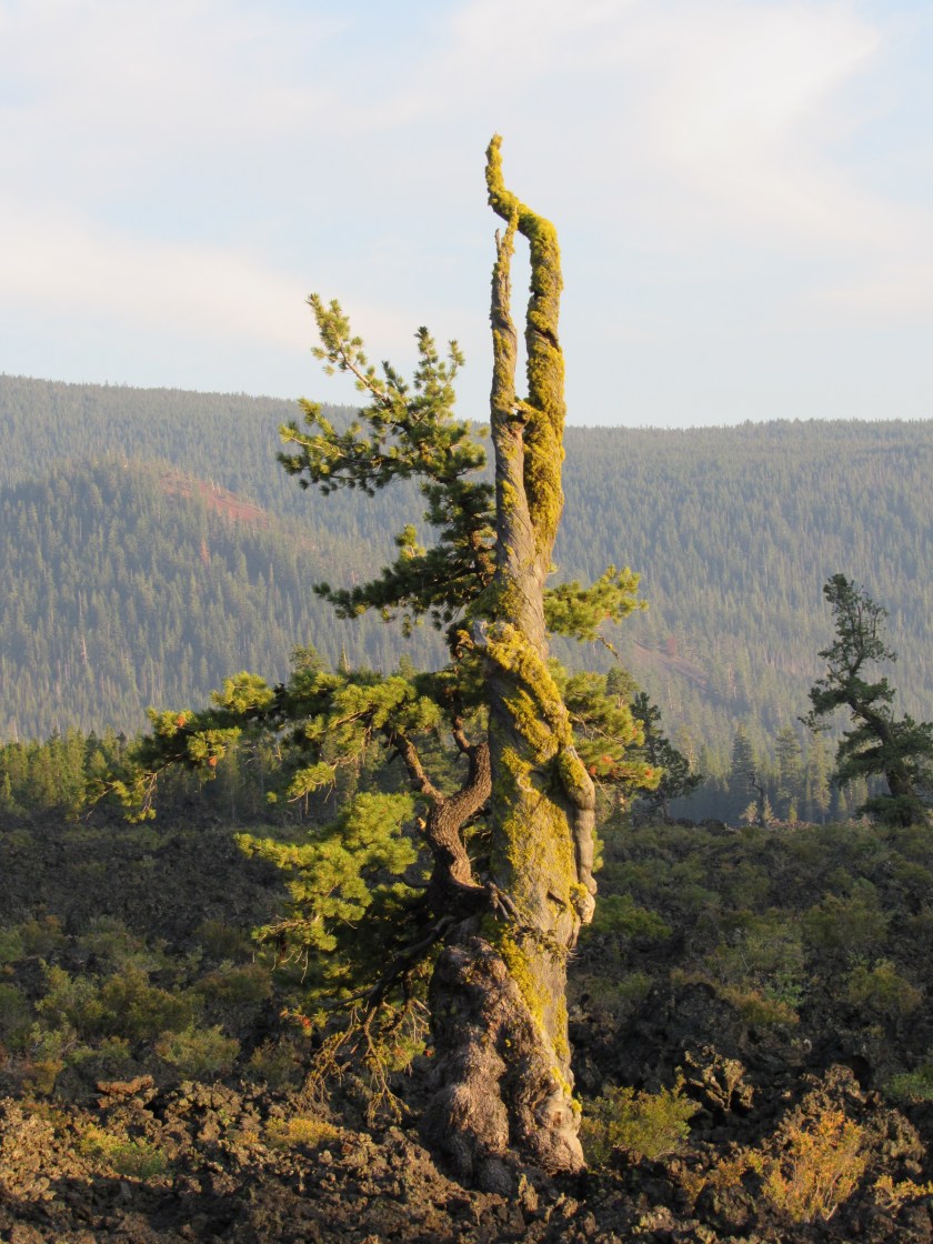
After visiting the cave I took a nice 3 hour drive south on another one of my scenic roads.  Today’s drive was Route 31, aka the Oregon Outback Scenic Highway (what a cool name), which goes from La Pine, south through Silver Lake, Summer Lake, Paisley and on to Lakeview before reaching the border with California.  Because I was now in the High Desert the scenery was very different from other parts of Oregon I had driven through this week, and once again the temperature reached 100 degrees.

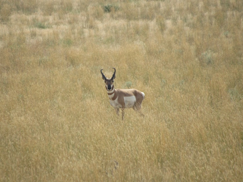
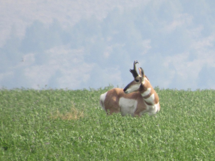
When I reached Lakeview I turned around and headed back towards Bend.  Shortly after leaving Lakeview I spotted this lone pronghorn (antelope) wandering in a field about a quarter mile to my left.

Lava Cast Forest – cavities

IMG_20170804_191215456

IMG_20170804_191221574

After completing my scenic drive to the south I stopped at this venue which is part of the Newberry Volcanic National Monument complex.  The forest covers an area of about 5 square miles.  The main attraction at this site are the holes in the ground left by the trunks of trees which had been encased in volcanic lava.

When the hot lava flowed around the trees the superheated wood produced steam which cooled the lava, which then hardened around the base of the trees.  Eventually the wood from each tree rotted, leaving behind a “cast” of the tree’s trunk, hence the name of the Forest.  The top photo shows such a cavity in the ground.  Because of the late day shadows I got closer to show the inside of the hole.  There were lots of these holes, in various sizes, along the one mile walking trail.

Although the trees rotted away, the roots, which are entombed in lava rock which now covers the surface, are said to still be found below ground.

Lava Cast Forest – twisted

IMG_0748

Because new growth still occurs within the Forest many trees develop twisted trunks.  This is because the roots have to find unusual paths through the lava rock below and for some reason, and perhaps because of the reaction with the lava rock, this contorts the trunks as the nutrients from the roots are fed to the tree.

Lava Cast Forest

IMG_20170804_191526351

IMG_20170804_191145600_HDR

IMG_0746

IMG_0753

I took these around 7 o’clock this evening while walking around the one mile trail at the Lava Cast Forest.  I thought it was pleasantly cool when I arrived here (it was 100 degrees where I was earlier in the day).  When I got back to my car I discovered it was only 77 degrees and that the Forest is up at 5,845 feet elevation, hence the cooler temperature.

And thank you again to my new friend Erich, who recommended that I visit the Forest.  I’m very glad that I did.

Surreal Crater Lake

I drove back down to Crater Lake National Park this morning, which is about 2 hours south of Bend.  As I drove west from Route 97 towards the north entrance to the Park I saw the unmistakable white smoke from the Spruce Lake wildfire, currently burning just west of the Park.  There was also a very strong wood-burning odor which is pleasing when it is coming from your fireplace but not as a result of a wildfire.  I was still 12 miles from the entrance and was afraid this was not a good sign for my photography plans for the morning.

After going through the entrance the smoke almost completely cleared for about 5 miles (nature works in mysterious ways).  When I got to Rim Drive the air was still pretty clear and I was encouraged that maybe visibility on the lake itself would not be too bad.  Well, this is what I saw when I parked the car and walked up to the edge of the caldera.

IMG_20170803_091831658_HDR

IMG_20170803_085318108

I arrived at 830 local time.  By about 930 it looked like the smoke was trying to clear and the wind was now pushing the smoke from the fire north instead of east.  Well, about an hour later the wind shifted again and the smoke started building over the lake once more.  I stuck around until noon and decided to bag it for the day.

I did continue to take photos while I was there and may post more at a future date after I’ve had time to review them.

Spruce Lake Fire


SpruceLakeFire Richard Parrish BLM

(Photo credit: Richard Parrish/Bureau of Land Management)

Tuesday night I posted a photo I had taken of this wildfire as I drove around West Rim Drive shortly after I arrived here.  This fire started a week ago and is 6 miles west of the Park.  On Tuesday it was listed as involving only 130 acres.  Well, two days later it has grown to 2,425 acres and is still only 5% contained.  It is heading east and may encroach upon the western parts of the Park before they can get it under control.

Visibility was seriously reduced today by the smoke from this specific fire.  I feel bad for the visitors who will only be here for a short time or who have campsite reservations.  Many of the trails on the west side of the Park are closed and I’m sure that list will grow.

Phantom Ship Redux

IMG_0672

IMG_0671

The main reason I came back to Crater Lake today was to take pictures from the north and east parts of the rim with the sun behind me.  Well, obviously the smoke thwarted that effort.  Although the smoke tried to lift briefly the wind shifted around 1030 and it started coming over the lake again.  I did get back down to the southeast part of the lake before the smoke completely obliterated the sun.

The picture I posted on Tuesday was taken in the afternoon so this was backlit by the sun.  This photo shows come of the contours and trees on this tiny island.  Unfortunately it isn’t as clear as it would have been without the haze from the smoke.

Klamath Falls, Oregon

American_White_Pelican-gear-up

(Photo credit: JRCompton.com)

After I left Crater Lake I drove east, then south to Klamath Falls.  My main reason for going there was to have my tires rotated at a tire store chain which is popular in the western part of the country.  But as I learned from the AAA travel guide for Oregon, Klamath Falls is known for two unusual things.

First, it is one of the homes to the American White Pelican.  I didn’t actually see any during my brief stay (I drove past Upper Klamath Lake, which is north of town and is probably where they hang out) so I went online and found this photo.

Second, the town sits on an underground bounty of geothermally heated water which is used to help heat homes, schools, businesses, etc.  It is also used to help melt snow and ice from sidewalks, steps and the Esplanade Street Bridge in the winter.  What a great way to utilize a natural resource!

If you get to California you’ve gone too far…

IMG_20170803_153111383

Oops.

No, this was actually part of my route for the day.  After leaving Crater Lake and stopping in Klamath Falls to have my tires rotated, there was a triangle of scenic roads (97/161/39) south of the city which briefly took me in to northern California.  A few hundred feet after crossing the state line I turned left on Route 161 which took me about 20 miles east (it is actually called State Line Road).  To the south of that road was Upper Klamath Wildlife Reserve, a small portion of which is seen below.  Once I reached the little town of Merrill I turned left again and headed back to Klamath Falls.

The only wildlife I saw were geese, but at this point it was 100 degrees (literally) and if the wildlife were smart they were hunkered down in the tall green grass or in the water.

And I must apologize to California.  On Tuesday I presumed that the smoke I was seeing after I left Crater Lake and drove east was coming from wildfires in California.  As Donald Trump liked to say during the presidential debates – Wrong.  I heard on the radio this morning as I drove down to Crater Lake that most of the smoke currently hovering over Oregon, if not from Oregon fires themselves, is actually coming down from British Columbia, Canada!  They have lost over a million acres to fire so far this year, which is unprecedented for this early in the summer.  I heard on the radio about two weeks ago that firefighters from Australia (where it is currently winter) were coming up to the United States and Canada to assist in firefighting efforts up here.